For years I puzzled over what this phrase means. This evening I discovered the answer. Unlike the first part of the week, today was sunny, little wind, high 70s, what most consider a perfect day weather wise. I ran home from work, gave Rosie, my horse, some food, let Isabella, my dog out for a bit, and then ran back to town to see my grandson perform. He attends Wolflin Elementary School. The physical education teacher selected a group of students called the SWAT Team who perform at different functions. The last time I saw them, they performed at a local high school’s basketball tournament. Today they executed four routines at their school’s annual gala, a fund raiser with games, food, a silent auction, dunking in the water, that sort of thing. It really astonished me. I have no idea how much they practiced, but these routines were not short and everything was perfectly choreographed. First, the boys performed using basketballs to do various tricks and movements in unison to music. Then the girls did this complicated sort of dance over these long bamboo poles that other students clicked together. The only other place where I have seen anything like this is in Thailand at the Rose Garden near Bangkok. The third routine included both boys and girls and they used this giant circle of multicolored cloth to dance around, in and out, make the cloth into a sort of yurt like shape. I have no idea how they kept it up like a giant circular tent one minute and flat the next. Finally, they competed with hoola hoops to see who could keep going the longest.
After I returned home, I hosed off the front entryway, planted some flowers in pots, and watered other flowers, all in preparation for a fund raiser tomorrow night at my house–to raise money for a local senior citizens center. Rosie is shedding her winter coat and seemed miserable itching so I brushed her. Now tufts of pale rose colored hair lay everywhere in her corral. Finally, a bit after eight I came inside for a late dinner. Then I noticed. No sounds, no wind, no appliances humming, no coyotes howling, no birds singing, no dogs barking, no sounds at all. Nothing. The patio doors are open; I walked outside a few minutes ago. Nothing. I sit here before the computer and hear the sounds the keys make when I hit them. When I stop, nothing.

Rosie

Isabella on the patio in winter.
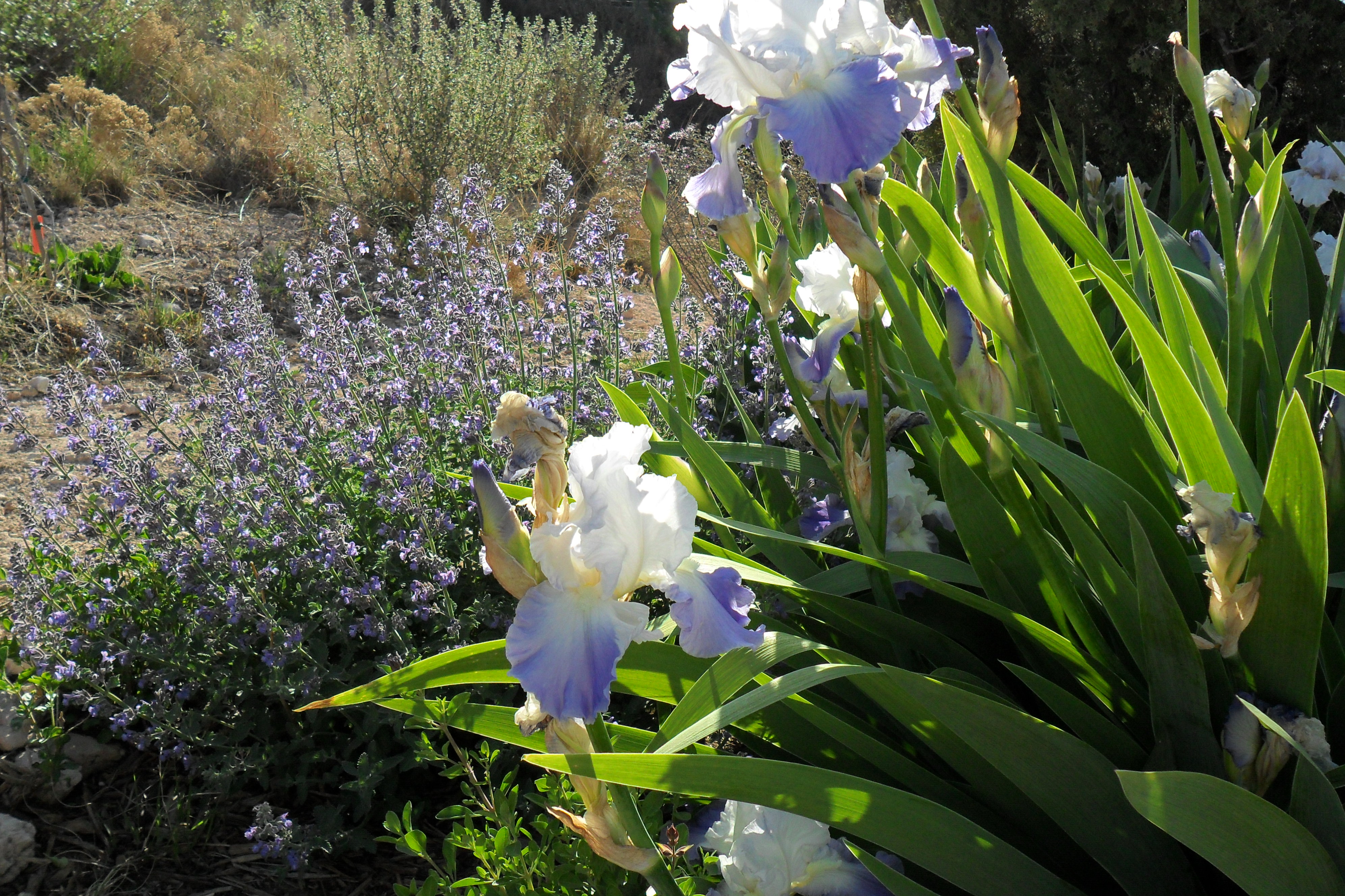
They started blooming today.