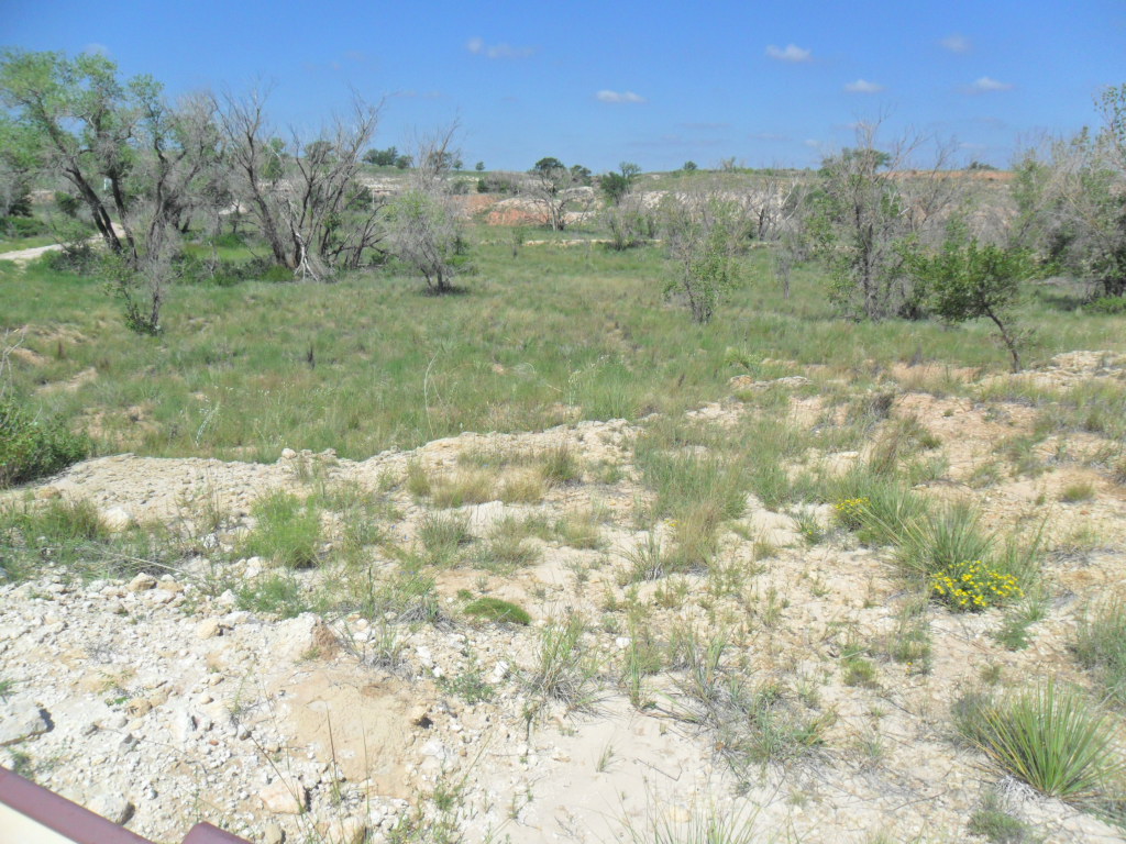
Sometimes when you love nature, the environment, wildlife, wild places, it is easy to become extremely discouraged. News about the dramatic increase in poaching in Africa condoned by some governments there does little to help. Data illustrating how the United States is a hub for wildlife trafficking, the push to kill wolves, big oil’s persistence to explore and open fields in the Arctic and other more delicate environments, water waste, climate change denial, a seemingly endless lists of negatives, can make one think about giving up. The Colorado River is under siege. The drought ridden Southwest of which I am a part has too many people fighting over too little water. The EPA just approved a new pesticide known to kill bees which are already disappearing, posing a huge threat to our food supply (see a previous blog highlighting how our food supply depends on these same rapidly disappearing bees). Another mountain top removal coal mine is being proposed in Kentucky and it is next to a school. The US Army Corps of Engineers issued the permit. I could probably spend this entire evening adding to this list of negatives. I could give up, but I never do. I keep looking for positives and for changes created by people who care.
In honor and praise for those who care and for the positives occurring, I am creating another list:
-Ralph Maughan, an Idaho native, continues to work on the saving the pristine wilderness of the River of No Return Country. He wants to save wolves in a state where politicians have proposed a law to kill 60 per cent of the state’s wolves. The Idaho Department of Fish and Game plans to professionally exterminate them so there will be more elk for hunters. No, I did not make this up. Maughan says, “the wilderness is supposed to be a place where large carnivores, like wolves, grizzly bears, and mountain lions can exist as they did before humans arrived.” Now the agency wants to come into a proclaimed wilderness to suit their own purposes. This fight continues.
-In Hawaii many housetops and businesses now glitter with solar panels. Isaac Moriwake’s consumer advocacy efforts support consumers who want to generate their own electricity through clean energy. Solar panels totally cover the roof of the new parking garage at the Kapl’olani Medical Center in Oahu. Hawaii has been able to create a clean energy framework with considerable solar success in spite of traditional utilities’ efforts against it.
-In more remote places like Nepal the WWF helped locals replace wood burning stoves with biogas burners so they would not have to cut down their forests for fuel.
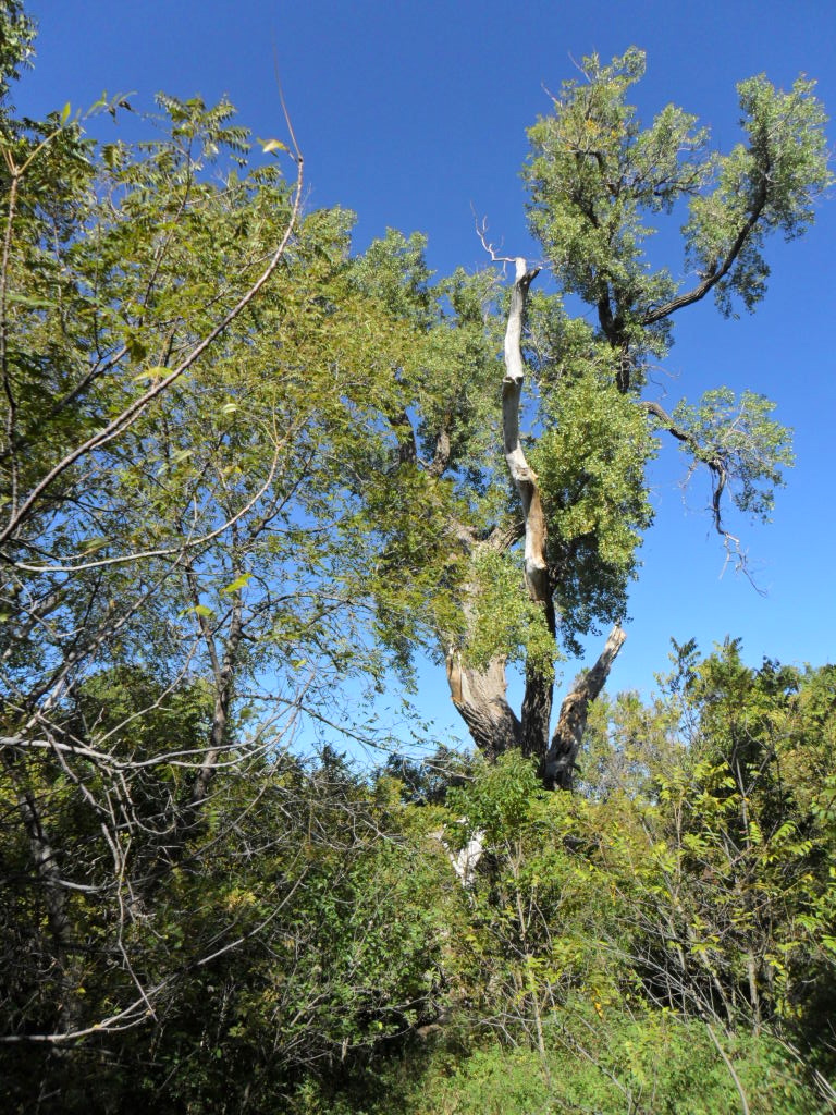
-As Myanmar develops economically and joins the international stage, huge areas of prime forests and native animals are at risk. Conservationists work with the new government to create national parks and other areas to preserve Myanmar’s rich biodiversity and to listen to local wishes as to how to preserve their valuable natural heritage.
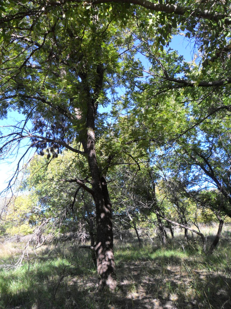
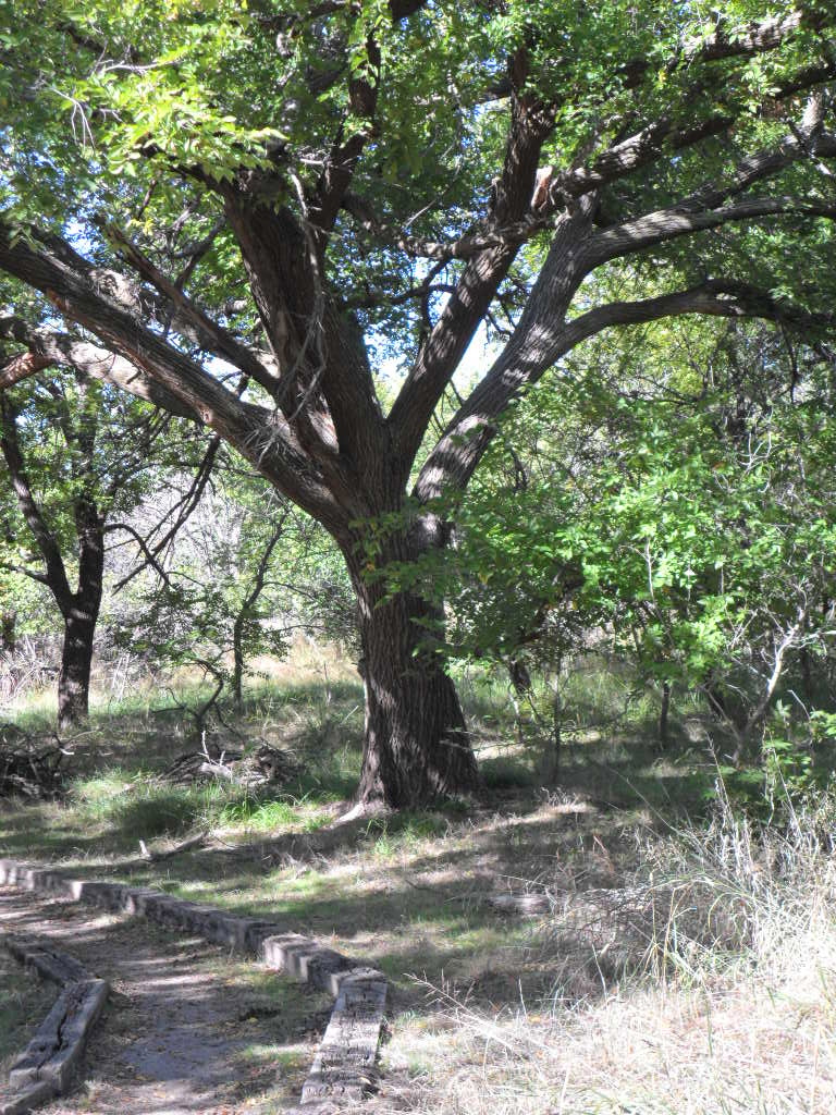
If I wanted to stay up half the night, obviously I could add more and more to each list. And it is easy to wonder just what can one person do. For starters, use less water, get rid of all the junk mail that arrives–a later post will describe methods to do this–so it will not add to the landfill and the demise of trees, do not buy furniture made from slow growing tropical wood, adjust your thermostat to warmer in summer and cooler in winter, carry your own bags so you won’t have to use the plastic ones at the store, become politically vocal about conservation. If you wonder is all this effort worth it, take a walk in the woods, along a beach, through the jungle, on a desert path; fill yourself with wonder.