Rita Blanca National Grassland


Today, three of us drove up into the northwest corner of the Panhandle of Texas to visit this national grassland which adjoins the Kiowa National Grassland in New Mexico.  The two grasslands together equal more than 200,000 acres.  Originally, created after the Dust Bowl in an attempt by the government to mediate the destruction caused by the giant Dust Bowl storms, the grasslands are now managed by the US Forest Service.  The US acquired much of the land when its owners gave up and left the land owing money to banks.  As a consequence these national grasslands are interspersed with privately owned grassland.  Ranchers, some of whom refer to themselves as grass farmers, can lease this land and graze it along with their adjoining property.  Moderately grazed land often supports a more diverse wildlife and plant population than overgrazed or ungrazed land.

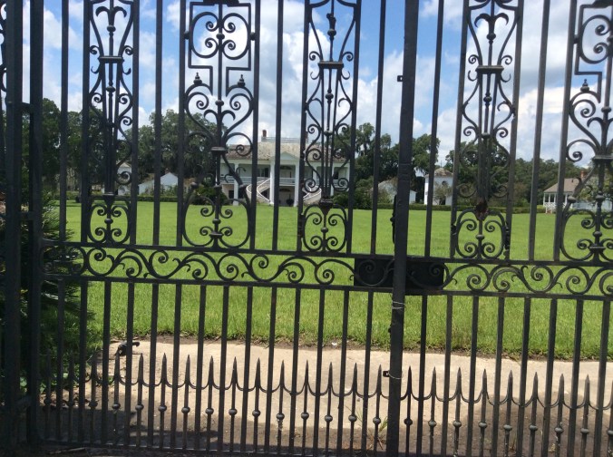
To reach the Rita Blanca we drove past Dalhart, Texas, and turned on a Farm to Market road which led to an area with camping and picnic tables plus restrooms.  Campers and picnickers must bring their own water.  The only trees are those deliberately planted in days long past.  We saw or heard many birds there, including orioles.  Below is the entrance to the Thompson Grove camping and picnic area.

IMG_2719

After a comprehensive briefing from the park ranger, a wildlife biologist, and a range specialist, we took a hike across the grassland.

IMG_2721

While this may look like a boring green sea to some, upon close inspection, this land teams with many species of grasses and flowers.  Flowers I saw today include Fineleaf Woolly-White, which is not white but bright yellow, Prairie Zinnia, Broomweed, Sundrops, Engelmann Daisy, Mexican Hat, Winecup, Tansey Aster, all of which I have at my own place an hour and 1/2 away.  However, I saw two flowers I have never seen before, White Pricklepoppy and a native Morning Glory which has huge hot pink flowers. While the Pricklepoppy has spectacular, large white flowers with gold centers, the plant looks like a very prickly grayish thistle.

Although I knew some of the species of grasses there, I could not identify the others.  However, the park ranger knew them all.  I might remember some with the help of a book.  Many I have around my land but still cannot identify all of them.  I do know blue grama, side oats grama, buffalo grass, and a few others.

Many grassland and wildlife research projects done there produce useful information.  One current project deals with seismic activity.

If you are driving cross country anywhere near Dalhart, Texas, or Clayton, New Mexico, take a short break and head to these grasslands.

IMG_2720


You, yes, you can make a difference


Many tell me or believe that one person, him or herself, cannot do much to change the world, to make a difference.  This short movie tells about a man in northeastern India who transformed a wasteland into a forest by planting one tree at a time over many years.  Now elephants, deer, and even tigers live there.  Take a look for yourself.  Look for the youtube video called “Forest Man”.  The web address is :

It won awards at several different film festivals including Cannes.


Top predators like wolves, bears, lions and tigers have declined dramatically around the world over the past century


Some parts of Eastern Europe have worked at figuring out how to balance saving predators and protecting farmers and herders. Spain has programs to reimburse herders.

Rachel Tilseth's avatarThe Red Cedar Watershed Ledger

Conservationists widen toolkit for predator management

Source:Berkeley News
By Brett Israel, 12/13/16

Top predators like wolves, bears, lions and tigers have declined dramatically around the world over the past century. One major driver of these declines is retaliatory killing by people following predator attacks on domestic livestock. This lethal approach to predator management is increasingly controversial not only because of ethical concerns, but also the role predators can play in healthy ecosystems. A new UC Berkeley study shows that many non-lethal methods of predator control can be highly effective in protecting livestock from predators and in turn, saving predators from people.
A tiger drags a cow at Jennie Miller’s study site in India

The Berkeley study examined 66 published, peer-reviewed research papers that measured how four categories of lethal and non-lethal mitigation techniques — preventive livestock husbandry, predator deterrents, predator removal, and indirect management of land or wild prey…

View original post 752 more words

Romania bans trophy hunting of brown bears, wolves, lynx and wild cats


Wolf is my Soul's avatarWolf Is My Soul

October 5, 2016  Source

Unexpected move reverses a trend that has seen increasing numbers of large carnivores shot by hunters each year since Romania’s accession to the European Union.

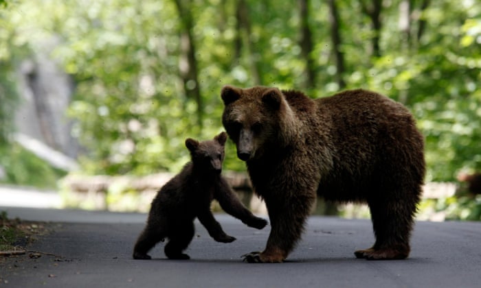
In 2016, the largest hunting quotas yet gave hunters the mandate to shoot 550 bears, 600 wolves and 500 big cats over 12 months. Photograph: Radu Sigheti/Reuters

Romania has banned all trophy hunting of brown bears, wolves, lynx and wild cats in a surprise decision that gives Europe’s largest population of large carnivores a reprieve from its most severe and immediate threat.

The move on Tuesday reverses a trend which has seen the number of large carnivores being shot by hunters grow year on year since Romania’s accession into the European Union in 2007. In 2016, the largest hunting quotas yet gave hunters the mandate to shoot 550 bears, 600 wolves and 500 big cats over 12 months.

Over the…

View original post 771 more words

Seed Banks–the Genetic Future


IMG_0877

Most of us think minimally about our food, where it comes from, the seed.  With a rapidly growing world population the genetic diversity of the seed from which we grow food becomes increasingly crucial.

The United States contains 20 gene banks:  three in California, one in each of the following states, Oregon, Washington, Idaho, Colorado, Hawaii, Texas, Iowa, Arkansas, Illinois, Wisconsin, Georgia, Ohio, New York, Maryland, Florida, and Puerto Rico and Washington D.C.  This system holds about 600,000 varieties.  The seed bank in Ames, Iowa, contains 53,000 genetic lines of maize (corn) and other crop seeds–1400 species.  The Illinois bank grows more than 2000 varieties of seeds per year.

Maintaining genetic integrity can be difficult.  Some crops like corn are particularly difficult because corn easily cross pollinates.  Researchers use these seeds to develop certain types of new varieties, e.g. varieties more resistant to disease, to drought.

Gene banks remain crucial to the future of agriculture and food even with the current controversies over GMO.  Some farmers note that any hybrid whether deliberate or by accident is genetically modified.  These modifications have existed since the beginning of agriculture.

A possibly more dire issue is the lack of wild relatives of key crops.  Global gene banks lack many of these.  The online journal, “Nature Plants” notes 1076 wild relatives of 81 crops were insufficiently safe-guarded.  Up to 300 species could not be located in any gene bank.  The lack of tropical crops in gene banks is particularly worrisome.  This is important for the future of agriculture and the world food supply.  Seed banks create safety nets for the future.

Perhaps the most remote and “safe” bank lies in Norway 800 miles from the North Pole.  The Svalbard Global Seed Vault can store seed for 25 years without power.  This vault stores seeds at -18 C and contains 825,000 crop varieties.


Note:  the photo is corn close to the Nile Falls near Bahir Dahr, Ethiopia


Ethiopian Journey–Ancient Churches of Lalibela


In the 12th century the king of Ethiopia decided to build a New Jerusalem.  Eleven churches were carved out of solid rock on the mountain top in the village of Lalibela.  A UNESCO World Heritage site, these churches remain intact and in use.

IMG_0428

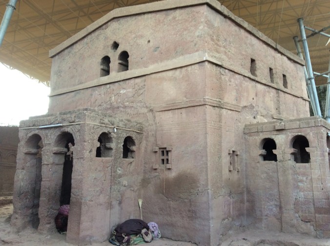
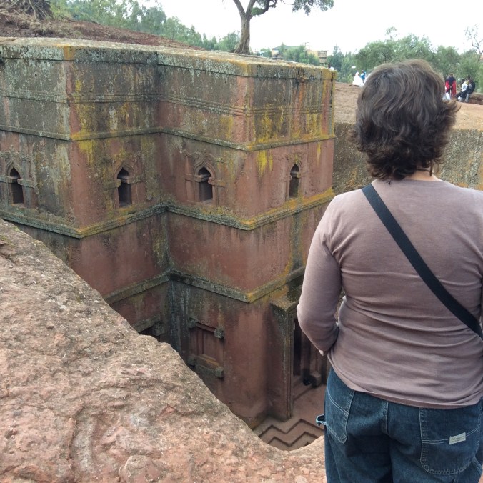
They were all carved from the rock top of the mountain down into the earth so that they remain invisible unless the person is only a few feet away.  This protected them from the vision of potential invaders, usually Muslims from what is now Sudan.  The above is probably the most photographed of these churches and stands separate from the others.

IMG_0429

My friend is standing near where the stairs lead down to the bottom where visitors and worshippers can enter the church.  Visiting all these churches in one day is not an activity for the faint of heart or for one terrified of heights.

IMG_0401

This is the first church we visited.  It still mystifies many as to how such incredibly intricate structures could me carved by hand out of solid stone.  Even these columns are carved out of the rock.  The “official” Ethiopian Orthodox Christian story relates how angels helped the builders.

IMG_0402

This and most of the other churches are connected by “waterways” where in the rainy season a sophisticated system of drainage keeps all of them from flooding and makes it possible for visitors and worshippers to walk along from church to church.

IMG_0407

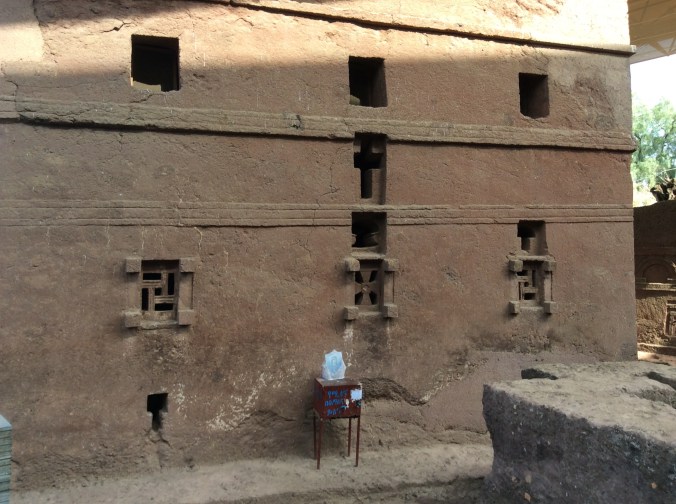
Everything in the Christian churches in Ethiopia  symbolizes something related back to Jerusalem and the Bible.  Even though the guide explained it all in detail, keeping up with all the symbolism proved a daunting task.  Notice the swastikas.  They are ancient symbols of the eternal circle of life and death.  Hitler turned them backwards and into a totally different meaning.  There are also many different styles of crosses there, two of which can be seen in the windows of this church.

IMG_0408

This is a fertility pool.  In the past a priest got in the water–it is very deep–with a woman who could not conceive and bless her in the water.  At one point when it began to fill too much, they cleaned out the bottom and found many treasures buried there, apparently dumped into the pool to protect them from enemy invaders.

IMG_0412

The inside of the churches are intricately carved and sometimes painted.

IMG_0417

Two types of basalt exist on this mountain, soft and hard.  Churches carved out of the soft basalt have begun to deteriorate and as a consequence are covered.  As can be seen here, people still come to these churches to pray and attend services.

IMG_0419

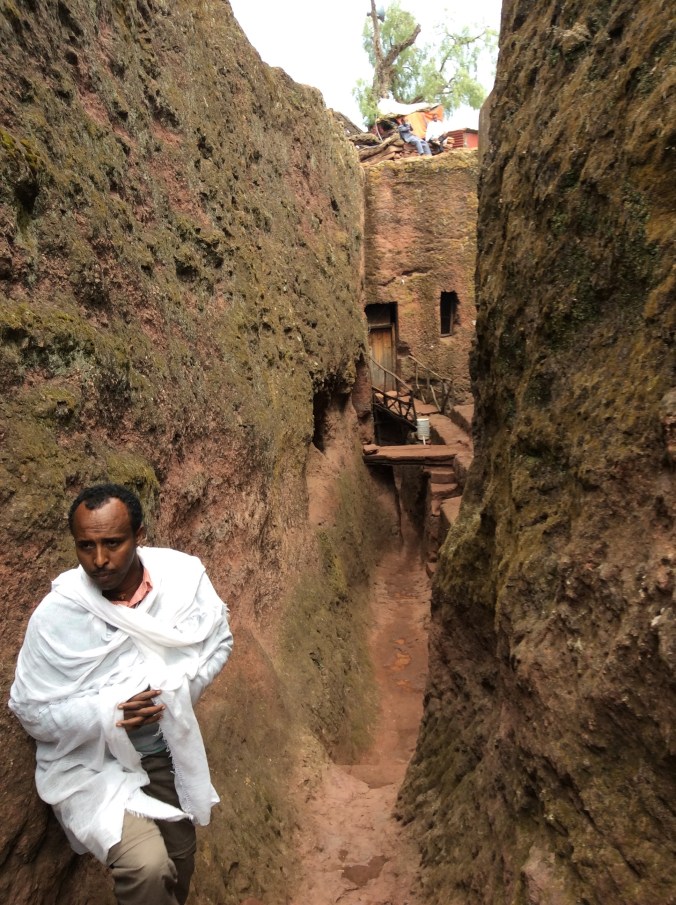
Our guide lead us from church to church through these narrow passageways which are, as previously mentioned, used to drain water away from them in the rainy season.  If Ethiopia had a national color, it would be white.  It is not only worn to go to church and for religious purposes but in daily life as well.  It mystifies me as to how they keep whites so very white.

IMG_0430

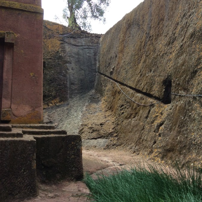
The slit dug in the rock is part of the system of drainage.  The grass in the foreground grows out of a pool of holy water.  While we were there, a boy filled a plastic bottle with the water and left.

IMG_0435

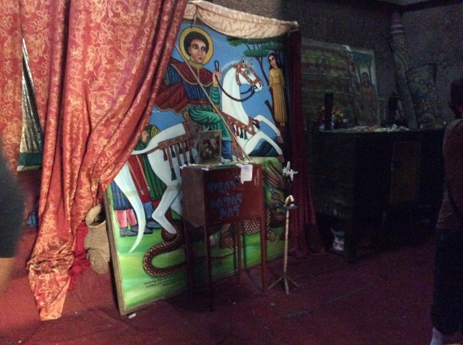
St. George and the dragon are everywhere, not only in churches but also on beer.  He is the patron saint of the country, symbolizing the triumph of Christianity over paganism as symbolized by the dragon.

IMG_0448

The carving in many of the churches reveal a sophisticated knowledge of how to work in stone.  It is difficult to believe that this was carved by hand downward into solid basalt centuries ago.

IMG_0491

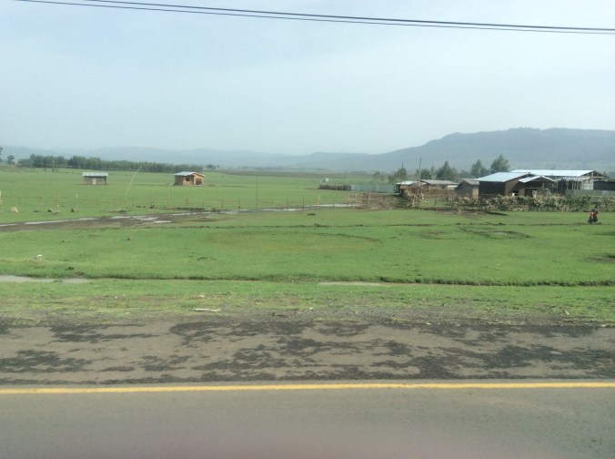
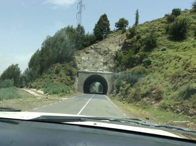
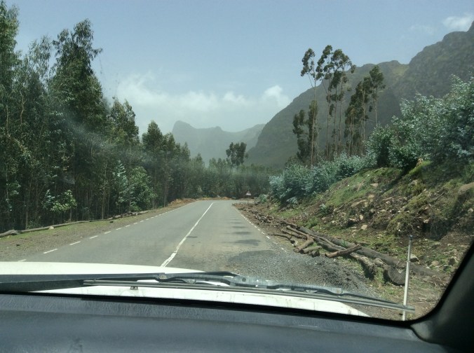
The road to Lalibela is rather daunting, climbing  higher and higher with no guard rails, nothing.  As you can see from this photo, patchwork quilt  fields cover even the mountainsides.


To learn more about Lalibela, see detailed information and explanations of their River Jordan and other religious symbolism, go to my blog posts from August 2014.

Ethiopian Journey–From Addis Ababa to Debre Birhan


Addis is the second highest capital in the world.  Only La Paz, Bolivia, is higher.  To a large extent, altitude determines climate in Ethiopia.  Addis and the surrounding area, much of which is high altitude farmland, receives a lot of rain this time of year and looks totally unlike what a lot of people think of when they hear the word Ethiopia–not desert but rather miles and miles of green.

IMG_0248

IMG_0249

We had not driven far from Addis when we crossed a river, an area of which is considered healing.  Many people had come for priests to bless them and to experience the healing power of the water.

IMG_0246

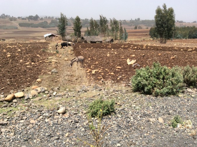
I saw only three tractors in ten days of criss crossing farmland.  Why so few?  One reason is rocks.  Many of the fields remain rather full of rocks in spite of many having been removed.

IMG_0258

Therefore, they farm the “old fashioned” way; horses or cattle pulling plows with a human behind.

IMG_0251

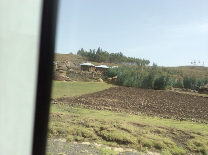
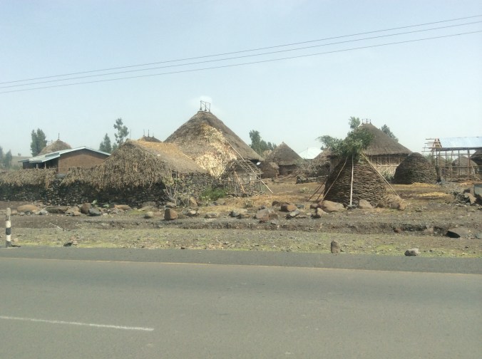
Houses in the villages in the farming areas demonstrate old ways alongside new.

IMG_0257

IMG_0259

Winnowing the way we did in the USA a century ago.

IMG_0253

IMG_0261

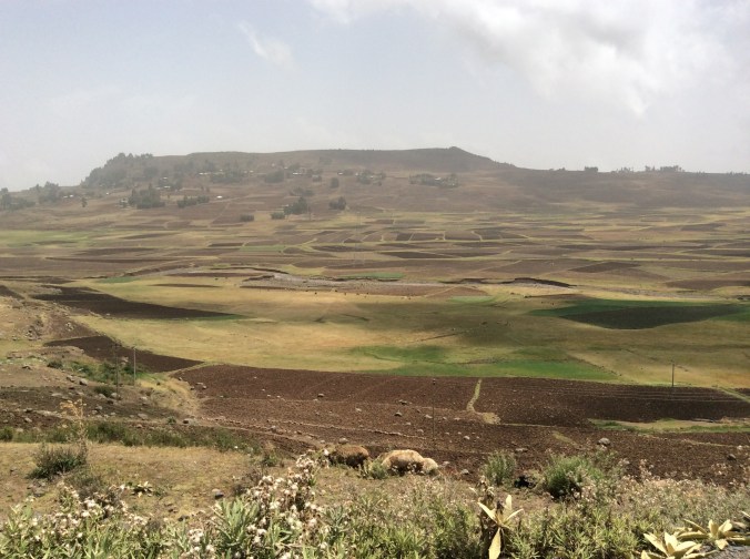
Much of the farmland is a picturesque patchwork quilt of browns and greens.

IMG_0266

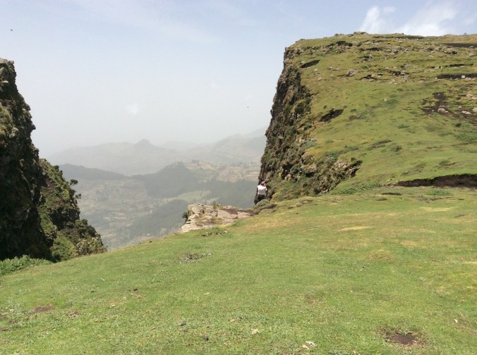
Before dropping down to lower country, we drove by Menelik’s Window.   The drop off here is steep and far.  I did not go near it–I had not yet become used to the endless drop-offs or even realized that I would need to do so.  This is one of four places in Ethiopian where you can see gelada baboons.  They are extinct elsewhere. Menelik was an Ethiopian emperor.  This “window” allows one to look from the high country for miles and miles to the landscape beyond.

IMG_0262

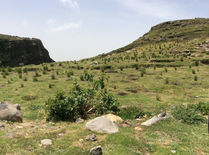
The large tufts of grass provide food for the gelada which are grass eating herbivores, the last of the grass eating primates.  All others are extinct.  This same grass is used by the locals for roofing material so boys stay in these areas all day chasing off the baboons.

IMG_0264

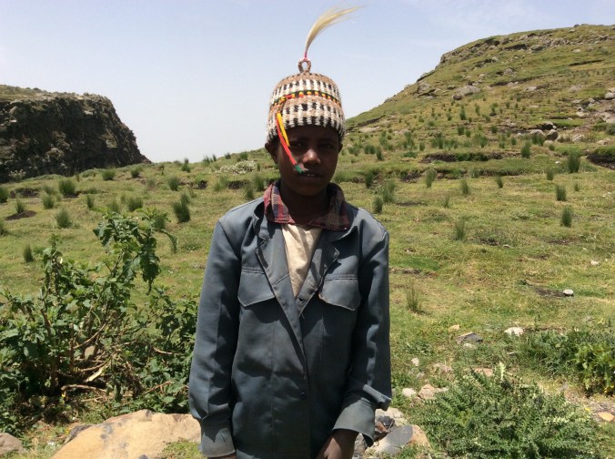
To keep themselves busy they weave woolen baskets and hats to sell which they display in the grass.

IMG_0267

This ten year old boy happily donned the hat he had made.  I bought it for my grandson who was the same age when I took the trip.

IMG_0268

Except for the different vegetation, driving down the mountain looked a lot like driving through Colorado.

IMG_0271

IMG_0272

IMG_0276

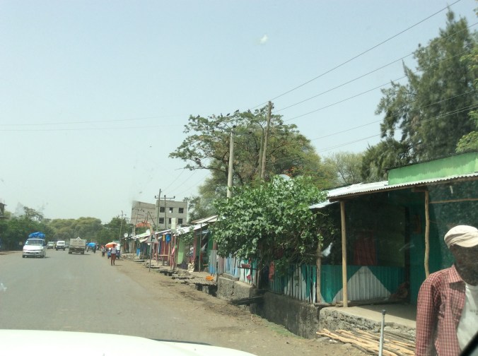
Down from the mountain the landscape appears quite different and considerably drier.  We drove through several smaller towns on our way to Debre Birhan where we stayed the first night.

IMG_0279

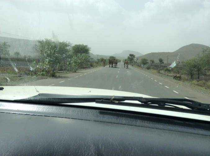
Driving in Ethiopia requires navigating around animals.  Everyone drives their cattle, camels, horses, all livestock down the road whenever possible.  The roads are generally very good.  Many, built by the Italians, have stood the test of decades.

IMG_0282

Along the road we saw many of these “apples”.  My friend told us how they played with them as a child.  However, the adults all warned the children not to touch their eyes when they did–it will make you blind.  They are called Apples of Sodom–so many things in Ethiopia have symbolic meaning.

IMG_0283

These fruit could be seen all along the road and even on the road.  After driving through this drier area we rose above a huge valley with miles and miles of grass.

IMG_0285

A semi-nomadic group brings their immense herds of cattle here in the rainy season to graze.  When we drove further on above the valley, I saw the first tractor working a field as big as this grazing land.


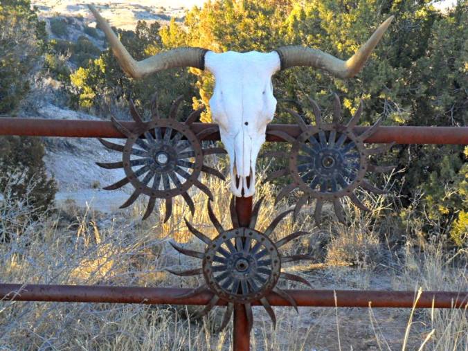
Ranch Bones


w

Skull


Years of bones piled up.  Cattle–calves, yearlings, the old–heaped 100 yards

northeast of the ranch house, upwind from the summer, southwest prevailing

winds.  Mostly black baldies, a few Charolais.  Old bones bleached white,

disintegrated.  Some new bloated bodies rotting, nauseating.  Others just sundried

hide stretched over skeletons.  Drug here by tractor, the dead.  Shipping fever, parasites,

drought, extreme weather.


A ranch’s history written in bones.

Costa Rica Adventure, Day Five–Part Two: Santa Anita Rainforest Ranch


After visiting the Tony’s gallery, we headed north on mostly non-paved, narrow roads.  The clouds increased; the landscape became greener if that is possible.  We crossed to the Caribbean side near the Nicaraguan border.

IMG_2001

IMG_2007

IMG_2008

IMG_2014

The previous photos were taken from the bus window on the way to La Anita which is located more or less just above where the a is located in the word Cordillera at the top of the map.  It lies near Rincon de la Vieja National Park (Volcano Vieja) past Volcano Miravalles–the volcano covered in clouds in the previous Costa Rica post.

IMG_2010

As soon as we arrived, we came to the veranda of the building where they process cacao.  This view overlooks the road in and a small pond.

IMG_2012

Ginger plants in front of the pond, bouquets of ginger flowers, and rain clouds greeted us.

IMG_2011

I had no idea that the ginger roots we eat come from plants that look like this.  We later ate lunch in the building in the distance.  First, seated on picnic tables on the veranda, we drank pure chocolate grown on the ranch and coffee grown on another property at higher altitudes.  Cacao requires lots of rain and tropical heat.  This coffee is shade grown at much higher altitudes, e.g. 1500-2000 meters, by 700 families who belong to the cooperative which produces the coffee.  The coffee from here (Finca la Anita, Costa Rican Dota Mountain Coffee) requires much less sugar even for those who love lots of sugar in their coffee.

The couple who own and run La Anita primarily grow organic cacao.  Originally, they sold what they grew and did not process it there.  They decided to accomplish what they wanted, to grow and sell the most sustainable quality chocolate in the world, they would have to control the entire process themselves.  One of their specialties is a healthy replacement for Nutella, La Anita Chocolate Spread.  We bought four little containers and carried them around the rest of the trip.  Rather than spreading it on something, I keep it in the refrigerator and spoon out a tiny sco0p when I want a super treat.


IMG_2015

Nearly constant rain and heat produce a botanical heaven.

IMG_2016

A tractor pulled wagon took us through the lushness to the area with the cacao trees grow.

IMG_2017

IMG_2018

We finally arrived where the cacao grows.

IMG_2019

In addition to cacao, they grow other crops because cacao takes a long time to grow and the chocolate market worldwide is very unstable.

IMG_2020

Open up cacao and you find all this fuzzy stuff inside.  Yes, it is actually tasty.  Like with coffee, you eat–actually mostly just suck on it–the outside.  The bean is the seed inside.

IMG_2021

If you want to walk around here, sandals are not a good idea–too many snakes, many of which are poisonous like the fer-de-lance.  Yes, they live here.  Like where I live, this requires looking at the ground and paying attention where you are walking. This is the owner.  The name La Anita comes from his wife.IMG_2023

IMG_2024

The view of the lake from the building where we ate lunch.

IMG_2025

This is the hearts of palm plant which shortly after this photo was taken became the main ingredient of ceviche of hearts of palm which we ate for lunch.

IMG_2026

Making ceviche of hearts of palm in the white square bowl.

IMG_2028

After lunch I walked down the road to the pasture with the horses.  In the background are cabins they rent.  From here the traveler can tour several national parks including Rincon de la Vieja National Park which is quite close.

This is one of the rainiest parts of Costa Rica, located on the northern Caribbean side.  It rained several times while we were here.  The rain stops for a while, a downpours arrives, it stops.  This process continually repeats.