Book 28 for 2024: “Gun Island”, Amitav Ghosh


A tale based on a Bengali legend about a merchant called the Gun Merchant, Bonduki Sadagar, this novel not only takes place in the mangrove swamps of the Sundarbans but also in Venice. It has nothing to do with guns but demonstrates how differences in language use among languages and translations can lead to total mistranslation. The narrator is an older, male, Bengali, rare book dealer who grew up in Kolkata but now lives in Brooklyn most of the year and goes back “home” occasionally. When he meets a distant relative by chance at a party, he finds himself enmeshed in the Gun Merchant tale and finds himself in search of a remote shrine where a king cobra lives. His adventure leads him to meet two young men and reconnect with an old friend, an Italian woman who is a famous historian.

What fascinated me most about this novel was learning all about the immense number of historical connections between the Bengali part of India and Venice especially related to trade and persons of Jewish descent. It is also filled with lessons in relationships among languages and history. For example, I learned the origin of the word ghetto. During the 17th century a part of Venice, Getto, was where their large and prosperous Jewish population was forced to live, Venice being one of few European cities where Jews were safe. Thus the word designating a part of the city became the word ghetto.

It is also a story about the risks and dangers of immigrants trying to get to Europe. I learned many Bengalis, mostly from Bangladesh, live in Venice and the numerous historical connections between the Bengali speaking areas of the world and Venice.

A Visit to Arcosanti


Arcosanti, an innovative village 70 miles north of Phoenix in the high desert, houses between 80-100 people who currently live there full-time. To become a resident, a person has to apply, take a five week course, and be able to contribute to the community. Their major business is making bronze bells in their foundry. They also host conventions. The week before I arrived, they hosted a convention of the executives of a corporation.

A few rooms of varying sizes are available to rent. They are pleasant with a view and modern amenities but not luxurious in the way some top hotels are. Here are views from my room.

After I arrived and unpacked, I took a walk up the hill and around the buildings.

This is a sort of giant classroom where it appeared they had been teaching how to make ceramics. The buildings are unique with the concept to fit in with the surroundings and take as little energy and resources from nature as possible.

This is the other side of the building in the previous photo. It is very hilly here and the buildings are build on the side of a steep hill.

The same building from a different angle. It was very windy when I was there and part of the area was closed due to the wind. There are bells everywhere and all were ringing in varying musical tones.

I walked down the road from my room, on a long trail, and up a steep incline to arrive across from the buildings so I could take these photos.

A closer view from across the arroyo.

This is across the arroyo from the main buildings. In the shadow, there is a door. I never learned what all this is for or what might exist behind the door.

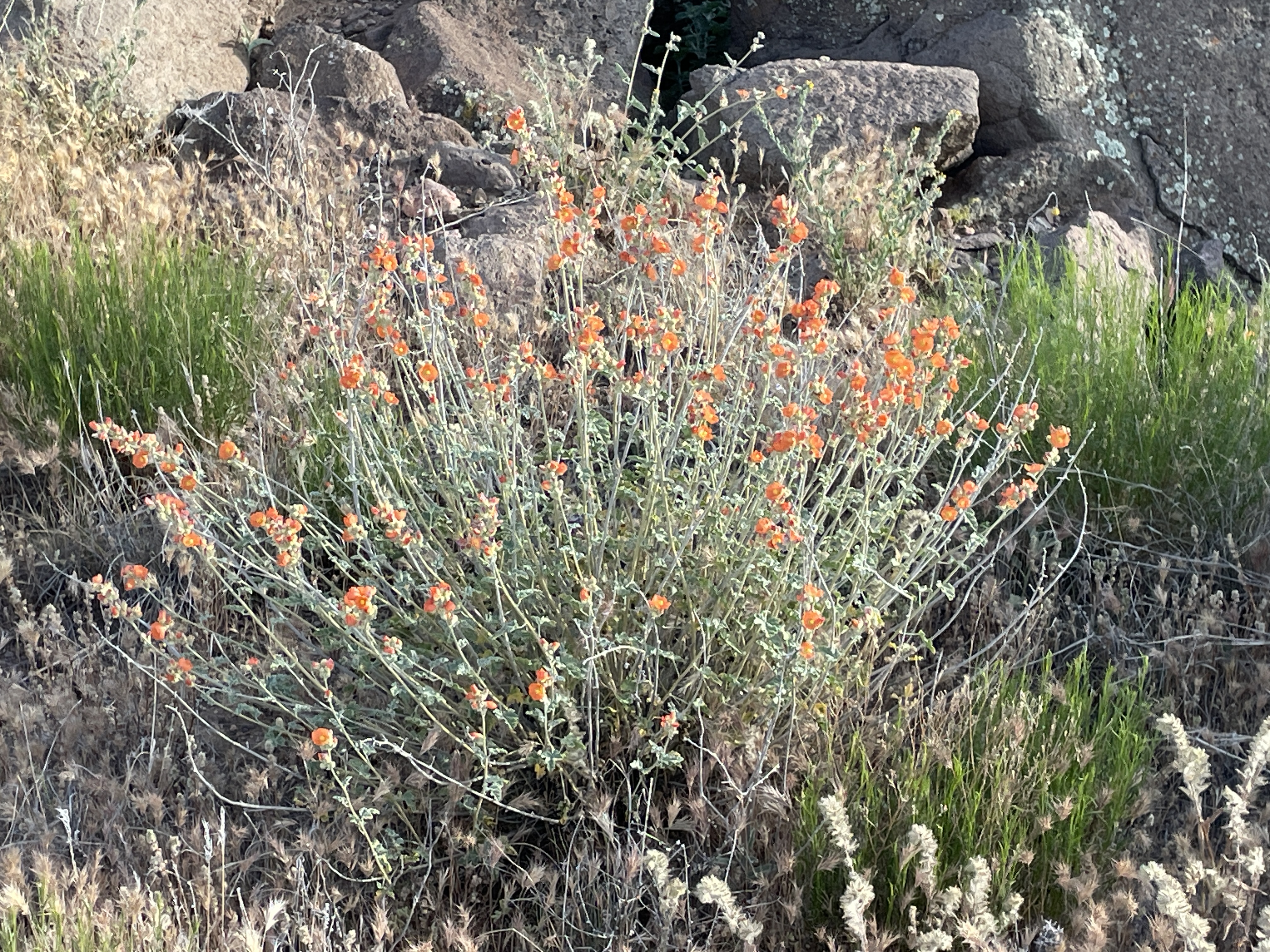
All sorts of wildflowers were blooming when I was there in May.

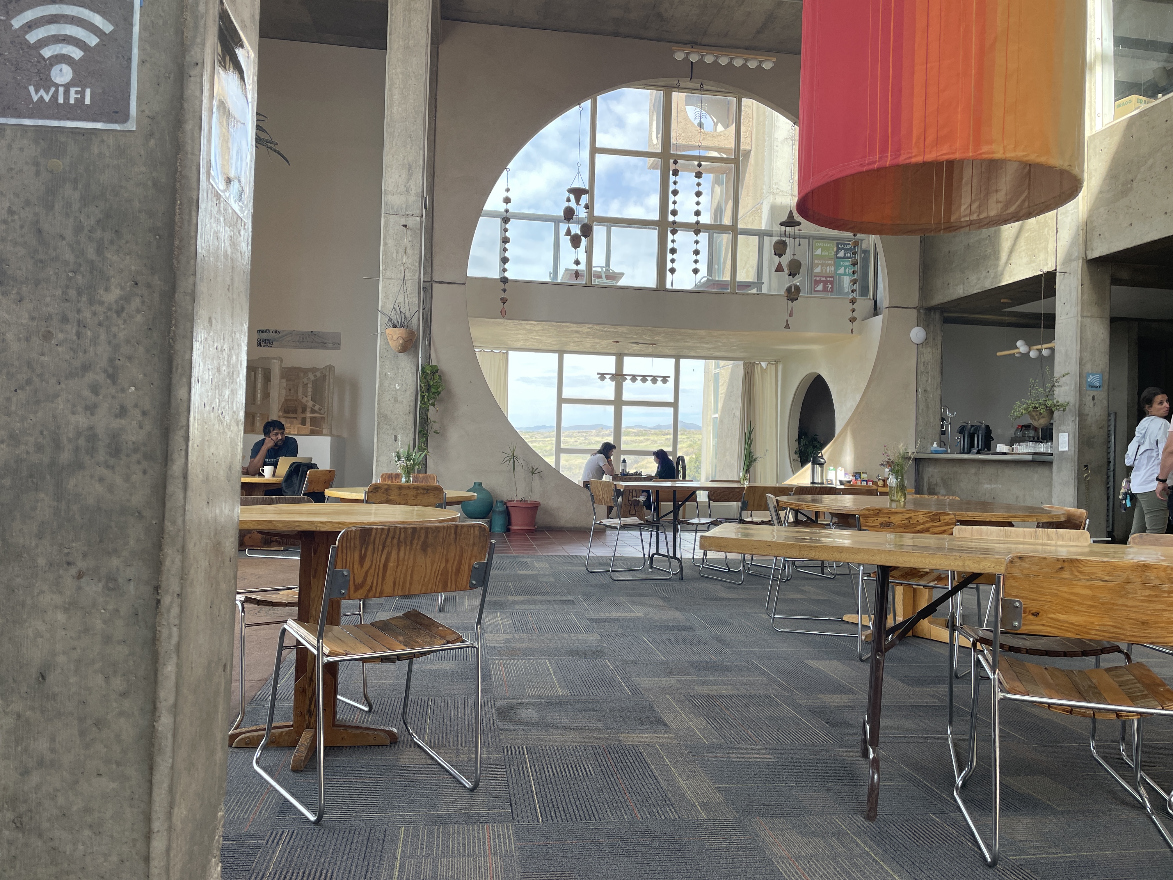
The restaurant is unique and delightful. They serve excellent coffee–one day some was lavender infused–and various other simple dishes and pastries they make on site. The orange column you see is installed in winter to provide natural heating using natural airflow and taken down in late spring. This is a unique and pleasant place to visit. You can take tours. If you stay there, you can wander around freely. And, of course, you can purchase bells from the very small to some that are quite large and like metal works of art.

Visiting Chaco Canyon


Several weeks ago, I spent a day wandering around the ancient sites where native peoples gathered over a thousand years ago.

This explains the extensive influence this place, located in the northwestern New Mexico desert, held for people from as far away as Central America. To reach this park, you have to drive on a dirt/gravel, rough road for more than 25 miles north of Crownpoint, NM. It is definitely worth the effort. However, it is impassable in rainy or snowy weather. The rangers who care for the park live there.

One of the first things you see as you get closer to the park is this rock tower, Fajada Butte.

Archeologists climbed to the top and discovered petroglyphs, “Sun Daggers”. Created between rock slabs, they align with each solstice and equinox and at these events the light projects to other sites, e.g. Pueblo Bonito. Other petroglyphs on a section of the canyon wall represent a supernova that occurred in 1054 CE.

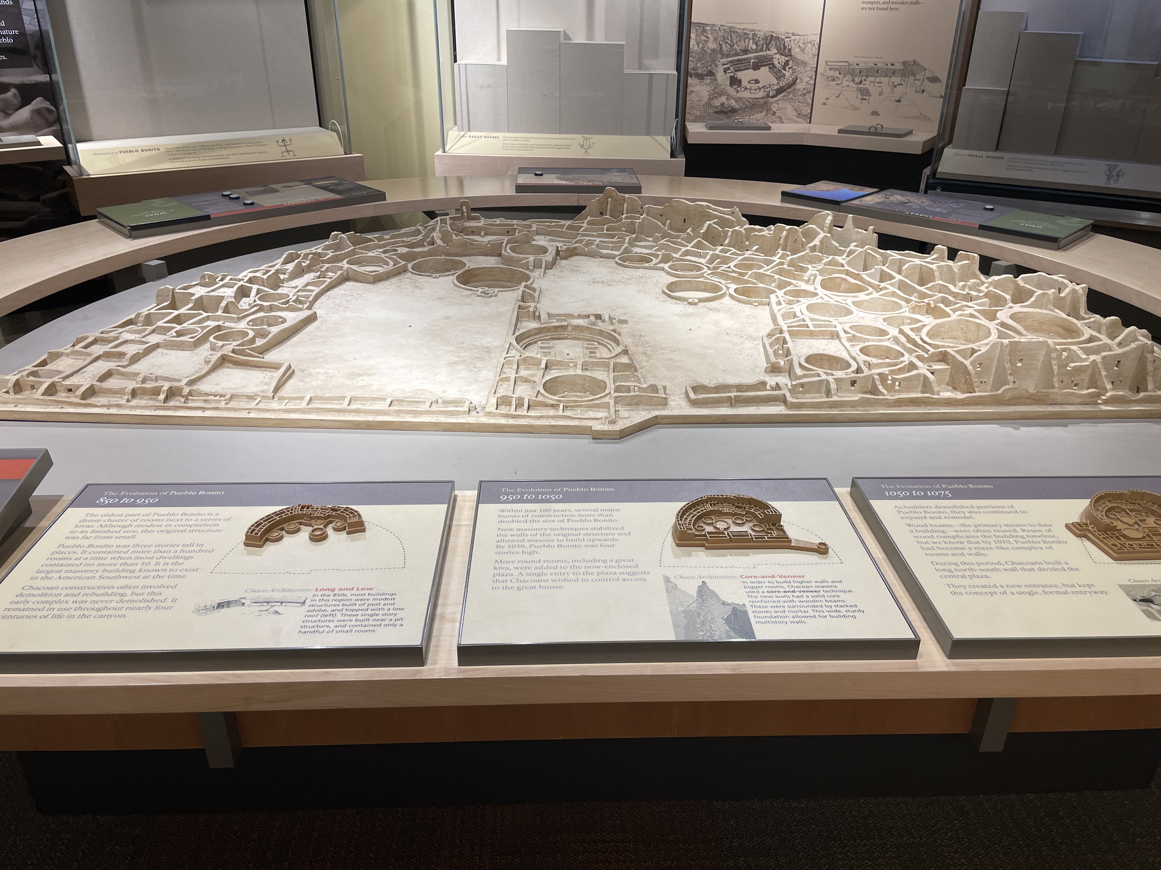
The following depicts an overview of the site as it would have been in the past. In the 1940s part of the wall of rock behind the site collapsed onto it and destroyed some of the buildings.

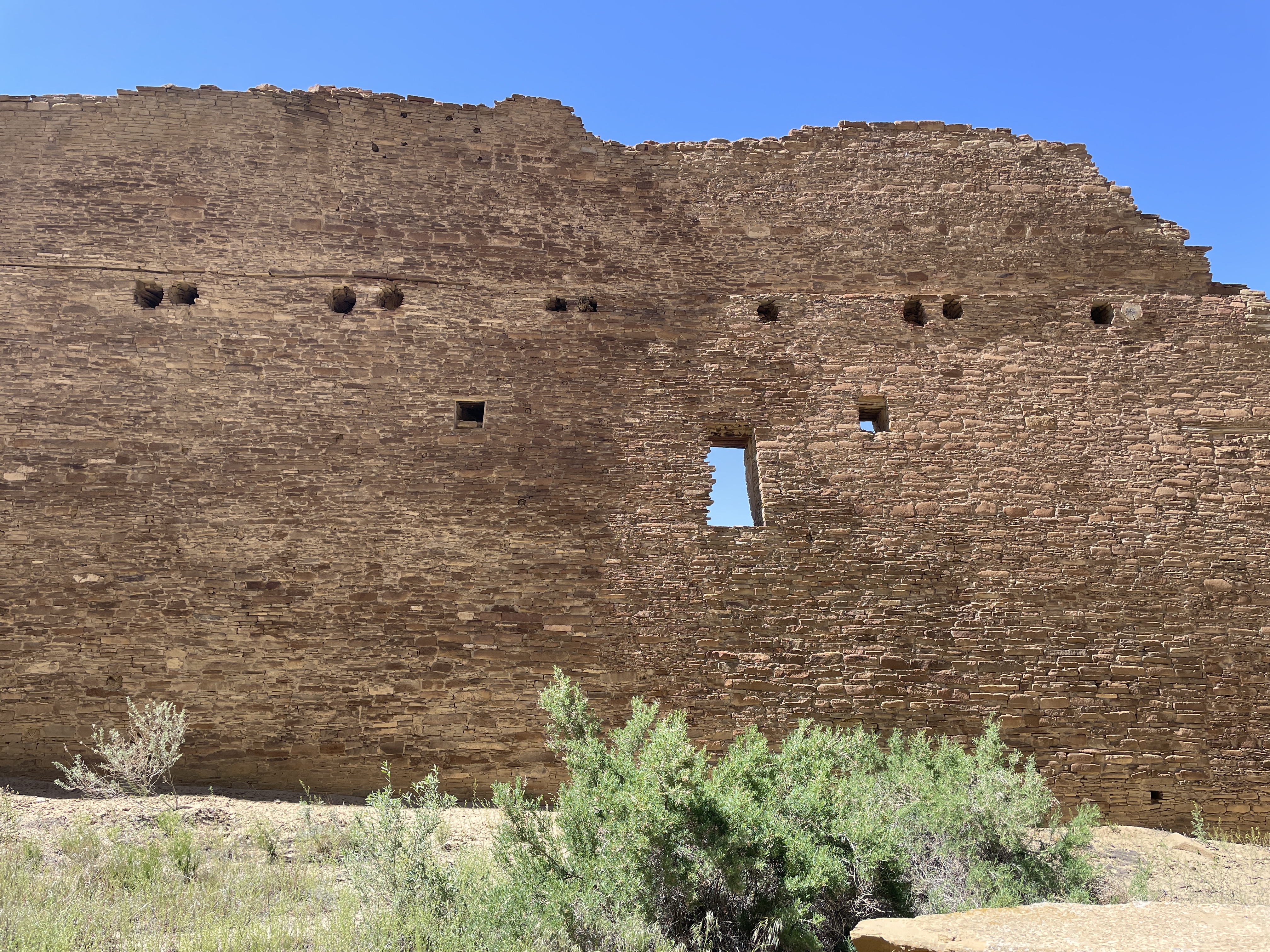
Here is how it looks today. Many of the doors and windows align with astronomical events, e.g. solstices, the two equinox, and astronomical events that occur only every 17 years.

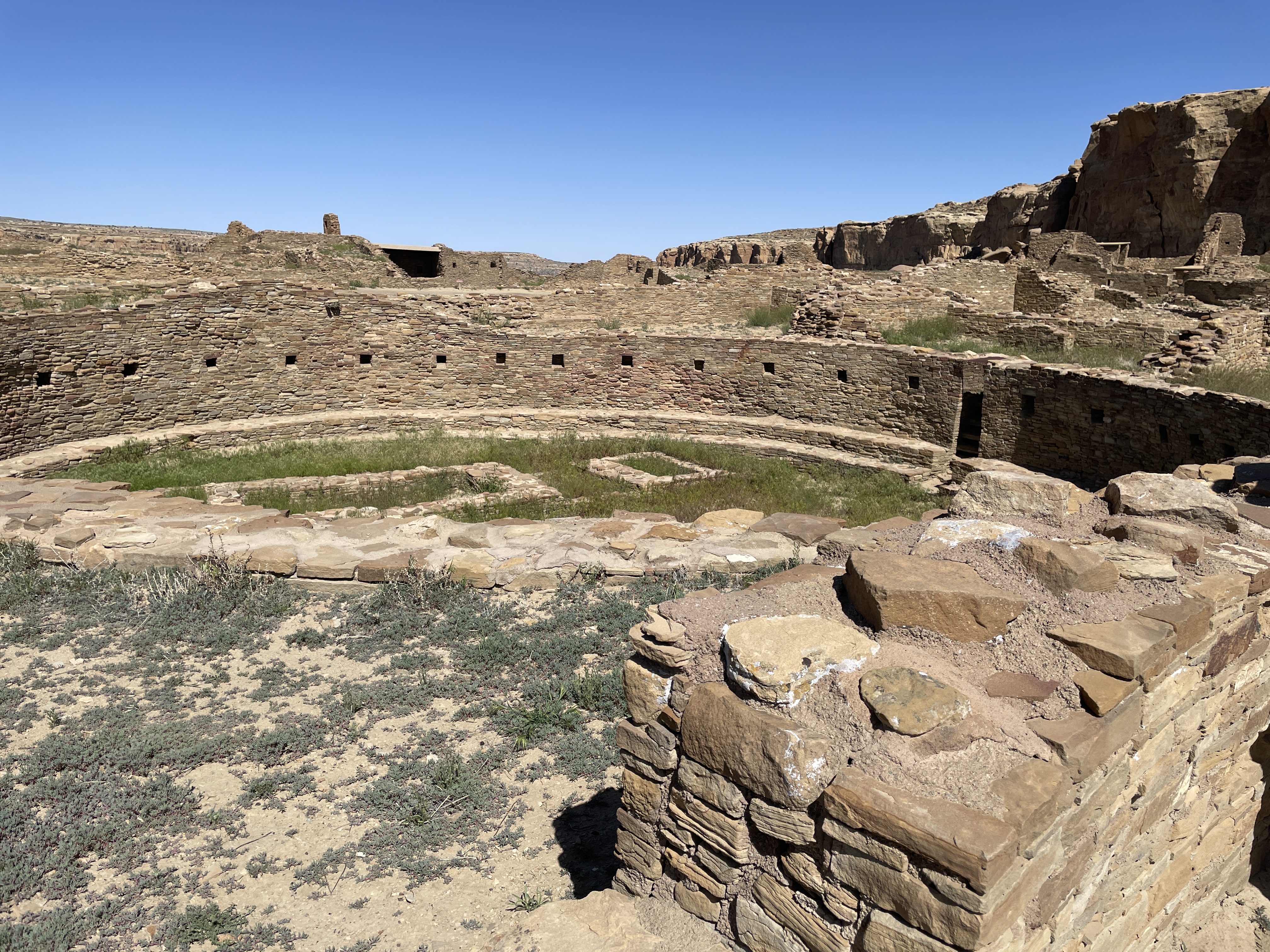
All sites here contain many kivas, many of which are very large. It is speculated that these were used for various sorts of ceremonies, including religious events.

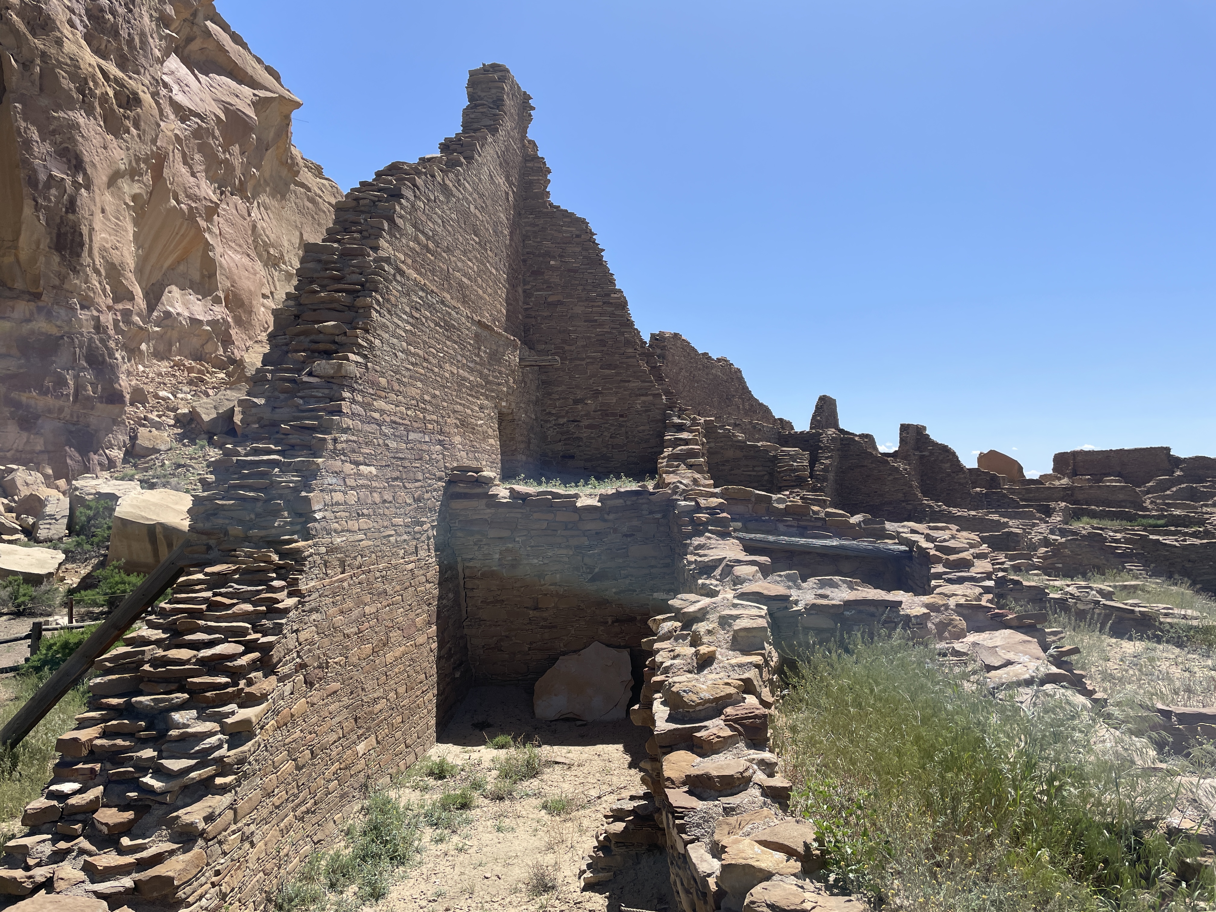
In this view you can see how the rocks that fell from the cliff have destroyed parts of the structures.

Many of the buildings were several stories high. In their heyday, they did not look like this. They were covered with something like stucco and painted white. What an impressive site they must have been–large white structures in the middle of the brown desert. Archeologists think few people lived here. It was a place for gathering, for ceremonies, for trade, for people from long distances to meet.

Across from Pueblo Bonito is the largest kiva found in the area.

Behind the bars on the far side of the photo is an area that was used for ceremonial dancers to don their costumes. At the bottom you can see a depression with a small door. Before centuries of sand filled it in, this place would have be large enough for the ceremonial dancers to enter through it.

If you follow a trail along the cliff from Pueblo Bonito, you will find another area built at different times hundreds of years ago.

Another large kiva and many smaller ones are located at this site, including this famous long wall built at two different times.

The following shows where at some point the wall stopped, then later it was continued using somewhat different building material and techniques.

The top photo is considered the newer part of the wall.

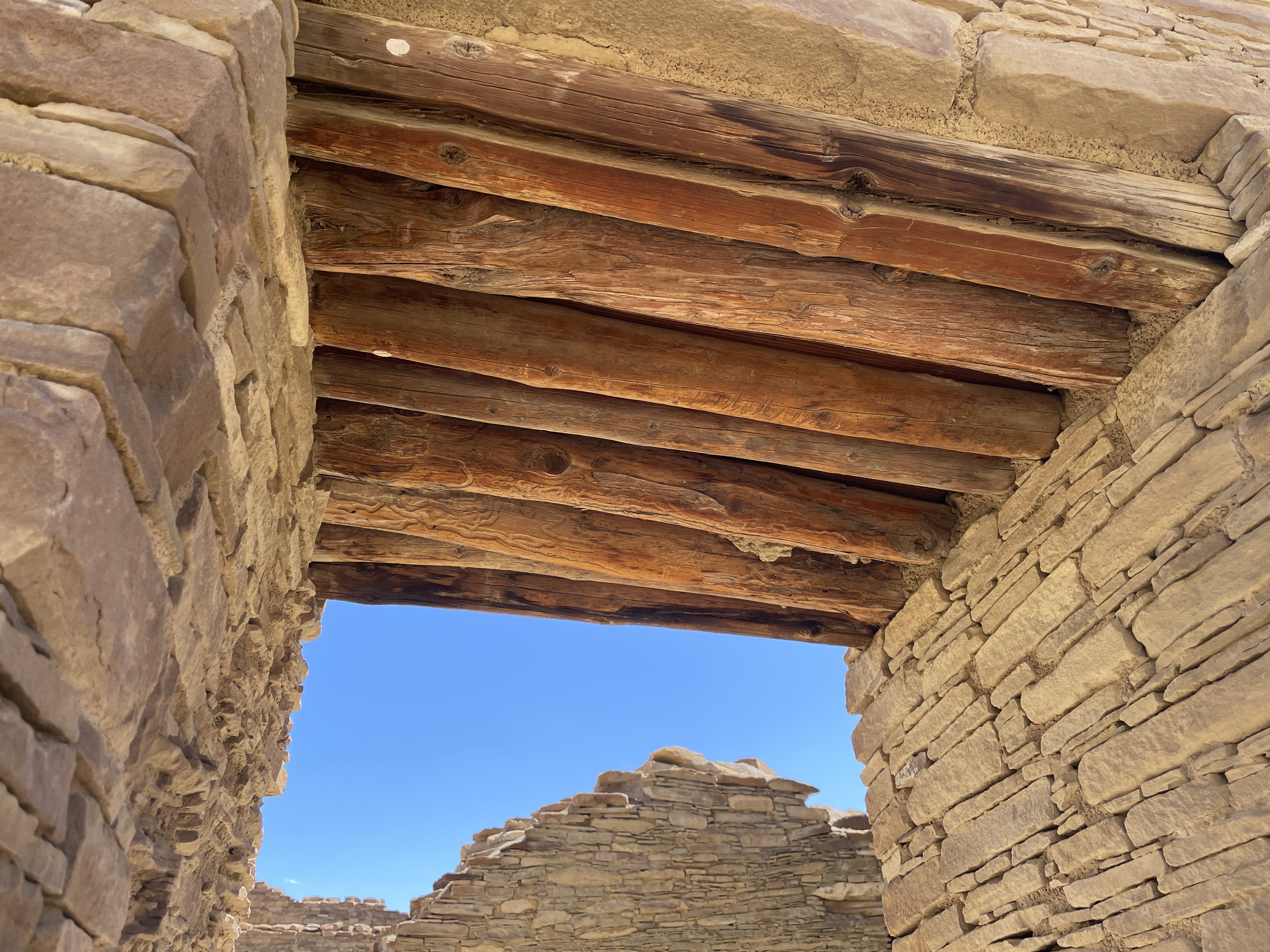
The wood used for tops of windows and doors was brought from forests hundreds of miles away. The desert air has enable it to be preserved.

When you walk the trails, you see wild flowers and native plants. This is desert rhubarb and it is edible.

While these are photos of the more impressive structures at Chaco Canyon, more than two hundred ceremonial and meeting sites can be found in this area of NM and AZ.

Canyon de Chelley–Part Two: Driving into The Bottom


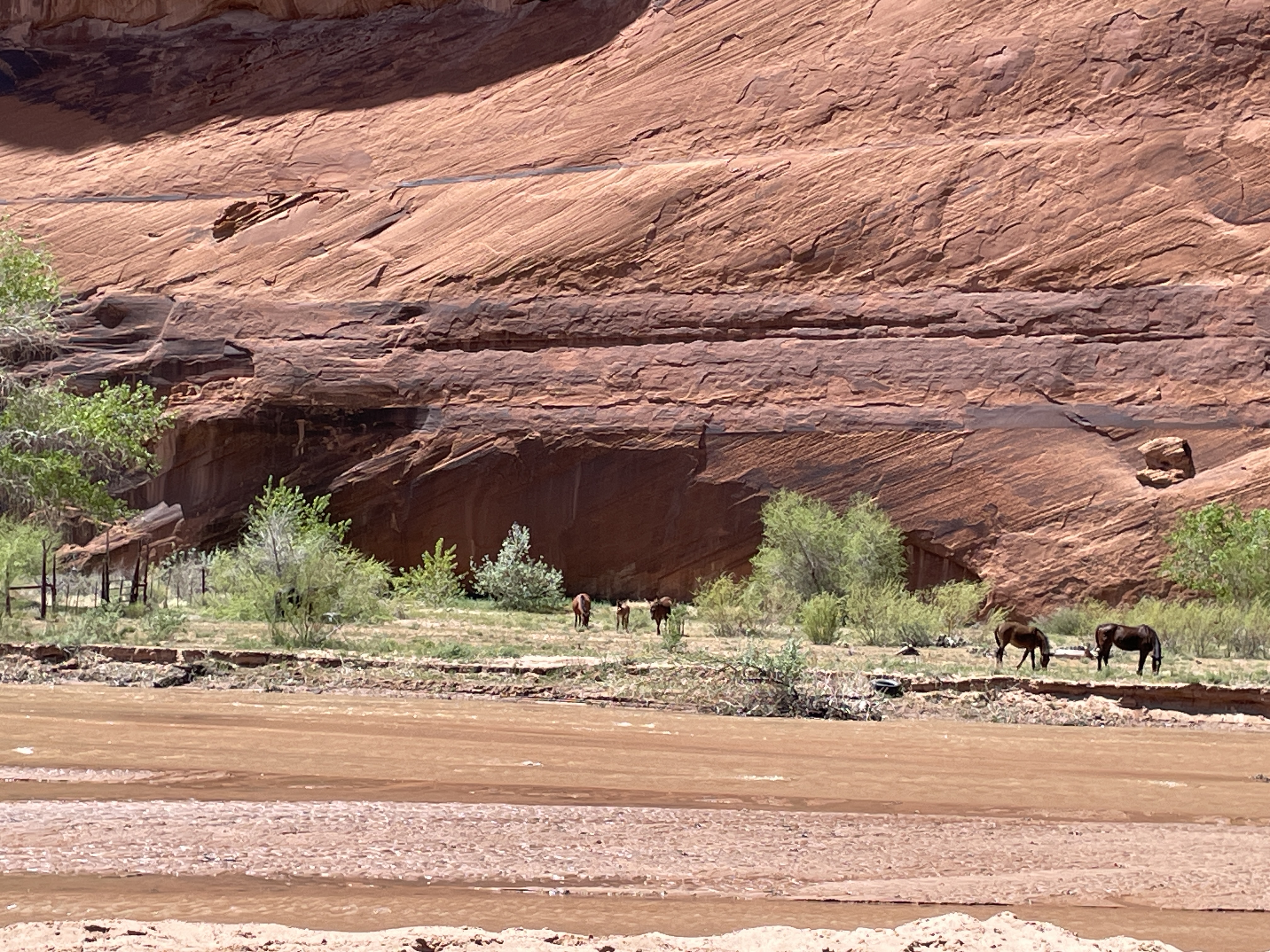
Canyon de Chelley was named by the Spanish who could not quite pronounce the Diné (Navaho) word for it and hence this name which is pronounced like de shay. It is more than 30 miles long and has a river running through it at least a substantial part of the year. In summer native people live there with sheep, horses, etc. even though fewer and fewer of the younger generation choose to do so. To enter the bottom of the canyon, you must acquire a permit and hire a Navaho driver. This is to protect it from the vandalism that occurred in the past. Canyon de Chelley is jointly managed by the National Park Service and the Navaho Nation.

Canyon de Chelley begins at the edge of Chinle, AZ, near the Holiday Inn which, by the way, serves traditional food such as mutton stew and blue corn fry bread. Yes, I ate both. This photo shows the beginning.

It was quite a trip; I sat between two women in the back of a Jeep with a perfect view of everything right in front of me. Oscar, the driver, knew exactly how to traverse the water, the wash (what they call this stream), run up and down the banks.

Driving right up the middle of the wash.

Petroglyphs can be seen in so many places we stopped that I lost count. Oscar said they are nearly endless and can be found throughout the canyon walls.

A few days previous to our arrival it had snowed so everything was green and lush from snow melt.

In addition to petroglyphs, there are etchings in the rock walls.

In this case an etching/rock carving of horses.

Yes, we drove under this overhanging tree limb.

Sometimes the wash was narrower and deeper and we drove up and down steep banks and through deeper water.

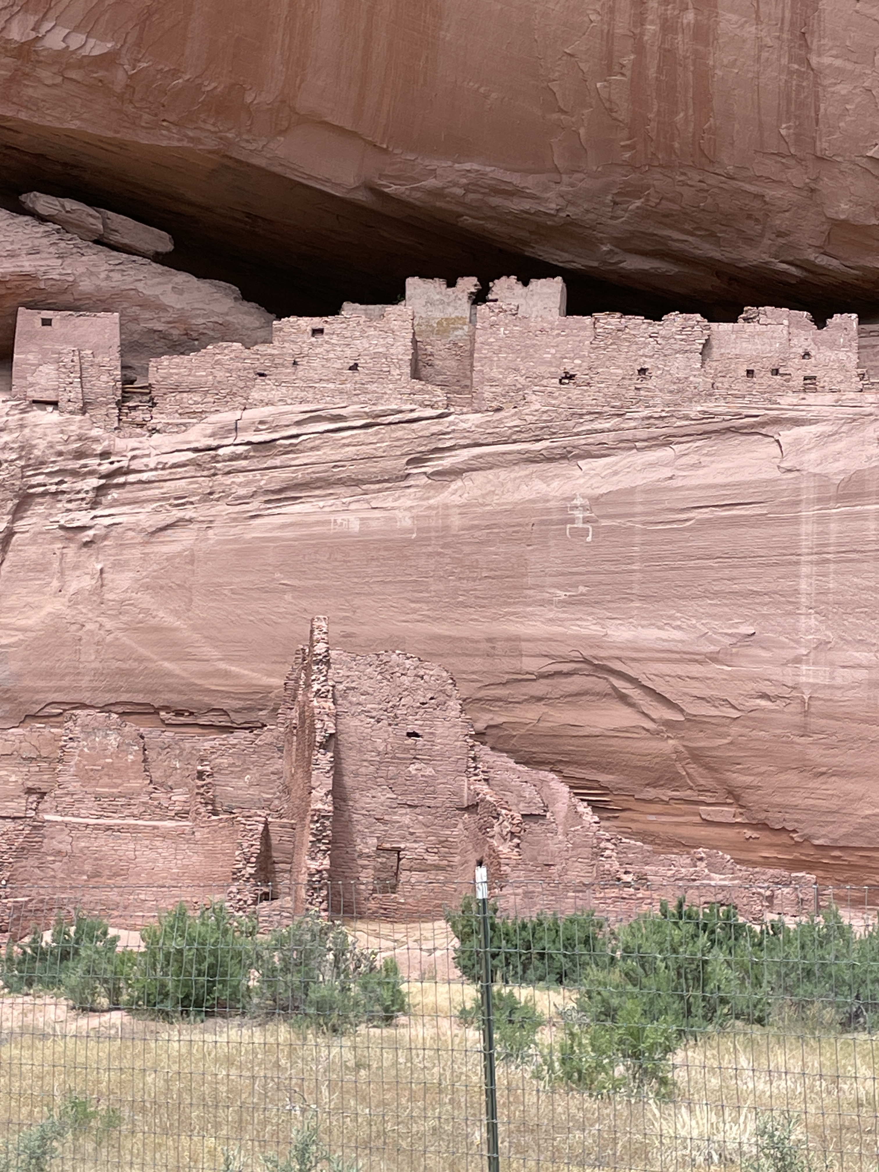
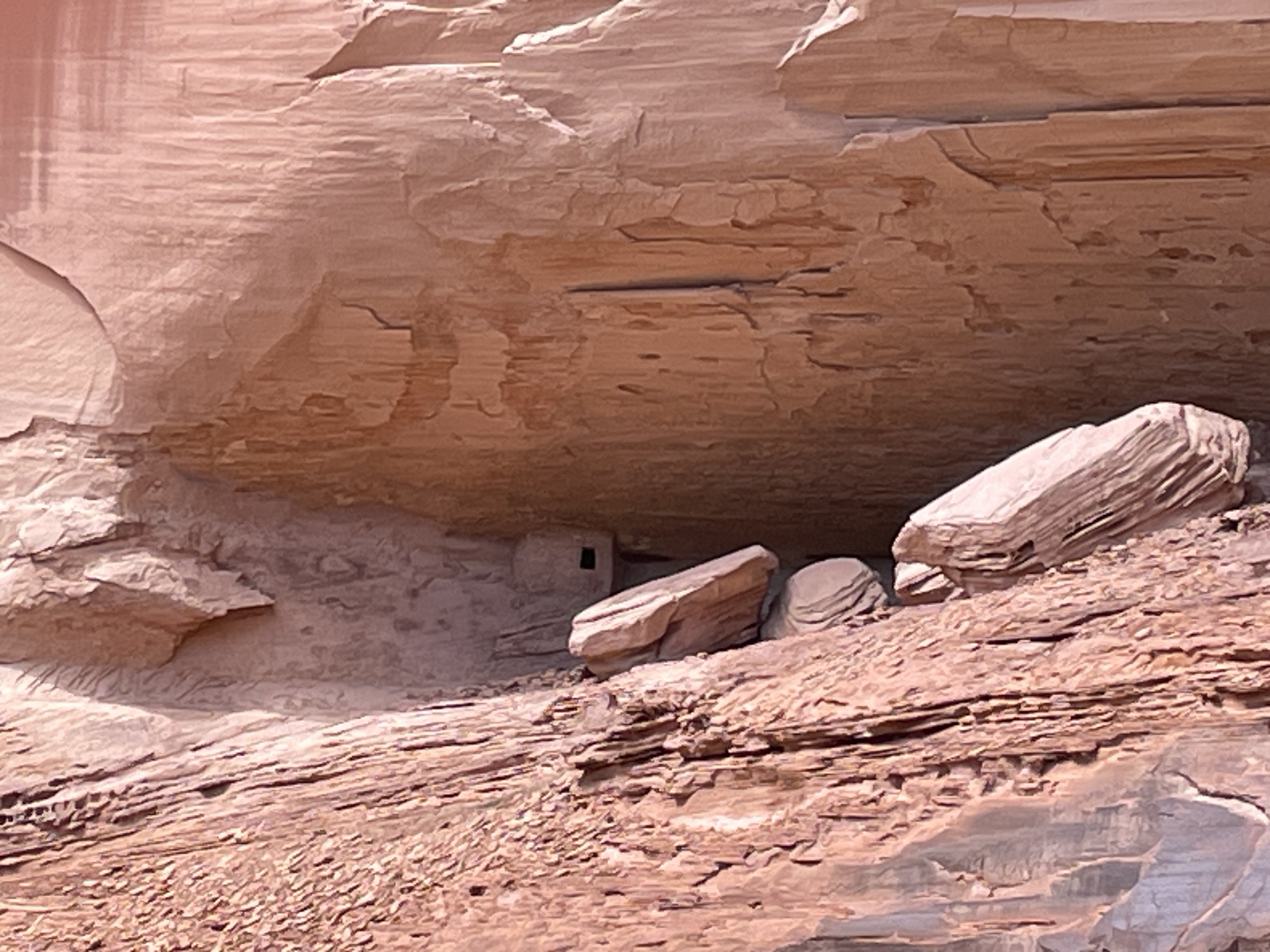
Ancient pueblo people lived here for centuries, some more than 5,000 years ago. This is one of the largest pueblo structures in the canyon (The White House–due to a white washed wall which you cannot see from this vantage point). The fence was built to protect it from vandals. We saw many smaller dwelling places and Oscar said there are hundreds in the canyon.

Headed back down the wash. This was a half day trip so only saw less than half of the canyon. You can hire for an all day trip complete with picnic lunch and go all the way to some of the famous formations that can be seen from the road at the edge of the top. There is also a side canyon called Muerto–due to a massacre of the natives that occurred after the Navaho forced long march.

The Jeep needs a bath after this trip.

Note: With a permit and guides, there is camping and horseback riding trips up the canyon in addition to this type of tour.

Book 20 for 2024: “The Midnight Library”, Matt Haig


Regrets and depression seem to have overwhelmed the main character, Nora. She’s lost her job, a car ran over her cat, she thinks she has failed at everything, and she says she wants to die. But does she really. Through a series of parallel universe experiences she gets to try out many different lives based on her long list of regrets. None really work because none of them exemplify her real self. She thinks she might like this new life or that new life, but none fulfill her, reflect her true self. She learns that money, fame, riches are not necessarily the answer. But what is the answer? What is the best way to live?

Canyon de Chelley–Part One


One of the most famous canyons in the country resides inside the Dine (Navaho) Nation. While administered by the National Park service, it is also the home of several Dine families. You can drive through the roads on the top freely, stop at various viewpoints, take photos, etc. Here are the various views I saw last week while there. The bottom of the canyon is restricted. To go there, you need a permit and a Dine (Navaho) guide. More about that in the next post.

Several families live in the bottom of the canyon, especially during the summer months. You cannot go into the bottom of the canyon without a permit and a Navaho guide.

Book 18 for 2024: “Quiet Street”, Nick McDonell


Want to know how the top 1 percent, the super wealthy live and control nearly everything in the US? Read this book. In a mere 117 pages, McDonell explains his own life and that of fellow 1 percenters. He details his early life, the private school he attended, the family connections, summers taking sailing lessons in the Hamptons, and vacations using private jets to places like the Galapagos Islands. At 18, he was able to get his first novel published in part because of his family connections to a famous publisher. Eventually, he left this life behind to become a foreign correspondent in Iraq and Afghanistan.

In this book he details how the super wealthy hoard wealth, pass it from one generation to another, and how outsiders, the poor and those not white, are kept out. Here are a few quotes from the book:

“I began to see how, in the United States of America and elsewhere, success almost always, and predominantly, depends upon wealth–and frequently comes at the expense of the less wealthy.”

“We in the one percent like to believe in meritocracy, even fairness.” At this point he lists several of famous people who rose to wealth and power from poorer circumstance and explains how this is used to make the “one percenters feel good, they distract from the possibility of a more humane distribution of wealth.”

Why do the one percenters behave as they often do? He interviews several whom he knows through his private school connections. “The fear they share was loss of wealth. Without ever saying so, they were very much afraid of losing their country houses, the barn converted for their kids sleepovers, the space for the grand piano, the green houses, pied-a-terre where their mother-in-law stayed without interfering in everyone’s business, the airport lounge that allowed them to enjoy pleasures among their own, in quiet. They were afraid of supermarket processed cheese, preferred organic stuff which they believed would keep them alive longer….they were afraid of losing their Prada bags…the cashmere….They feared losing wealth not for its own sake but because it was justified, in their own minds, by intelligence, hard work, determination—that is by character.” They truly seem to believe they are smarter and harder working than other people.

Book 17 for 2024: “Cave of Bones”, Lee Berger and John Hawks


This is the perfect book for those interested in hominid evolution. I’ve been fascinated by Homo naledi ever since I first learned about them more than a decade ago. In 2013, paleoanthropologist Lee Berger first discovered them in a sizable cave system in South Africa. The initial discovery included the largest pile of hominid bones ever found.

In “Cave of Bones” Berger details his and his teams repeated visits to this cave system and their discoveries over time which allowed them to find evidence that naledi buried their dead, used fire, and drew designs on the walls near passages from one part of the cave system to another. Before their discovery, it was thought that only homo sapiens did any of these things with exception perhaps of neanderthal. The naledi walked upright, lived during the same time as early homo sapiens, and had a feet and body structure like homo sapiens (except they were smaller than most people today), but their fingers were somewhat curved indicating they used them for climbing. Their brains were smaller than homo sapiens. This has made some scientists question the validity of the findings since it has long been held than brain size relates to intelligence and many of the abilities that are distinctively human. The book contains photos of the cave system, of some of the skeletons, the drawings, and other relevant material as well as an extensive bibliography.

Weekend Trip to Northern Baja


This past weekend I headed to Mexicali in Northern Baja to visit the town of San Felipe and see a new development about an hour south of there. San Felipe is a small fishing town of approximately 20,000 people where there are no fast food restaurants and no Starbucks. Excellent restaurants and good coffee can be found but not at the places mentioned above. They do not exist there. The town of San Felipe has a long boardwalk right along the Sea of Cortez with restaurants across the street. This past weekend they were holding a ceviche contest and fiesta on a cross street. This is shrimp season and the city is known for its shrimp. Unlike the Pacific side of Baja, there is no large commercial fishing allowed in this part of the Sea of Cortez because it contains many endangered fish and the place where whales come to mate. Locals can fish and you see smaller fishing and shrimp boats in the sea. Not only is the Sea of Cortez protected but so are the plants and animals in the desert. Certain plants, like ironwood trees, are ancient and rare. If you want to build a road, it has to be around them. Many other species are also protected.

Unlike the Pacific side of Baja, the water in San Felipe is safe to drink from the tap. It comes from an aquifer up in the mountains to the west.

We spent most of Sunday at the new green development (it is totally off grid) called Rancho Costa Verde. Solar is used for power and each house has a large underground water tank where water comes from an aquifer up in the mountains. This is a newer development so although many of the lots are already sold, except for beachfront, many houses are just now under construction.

This is a very modern beachfront property with marble floors and a glass wall facing the Sea of Cortez.

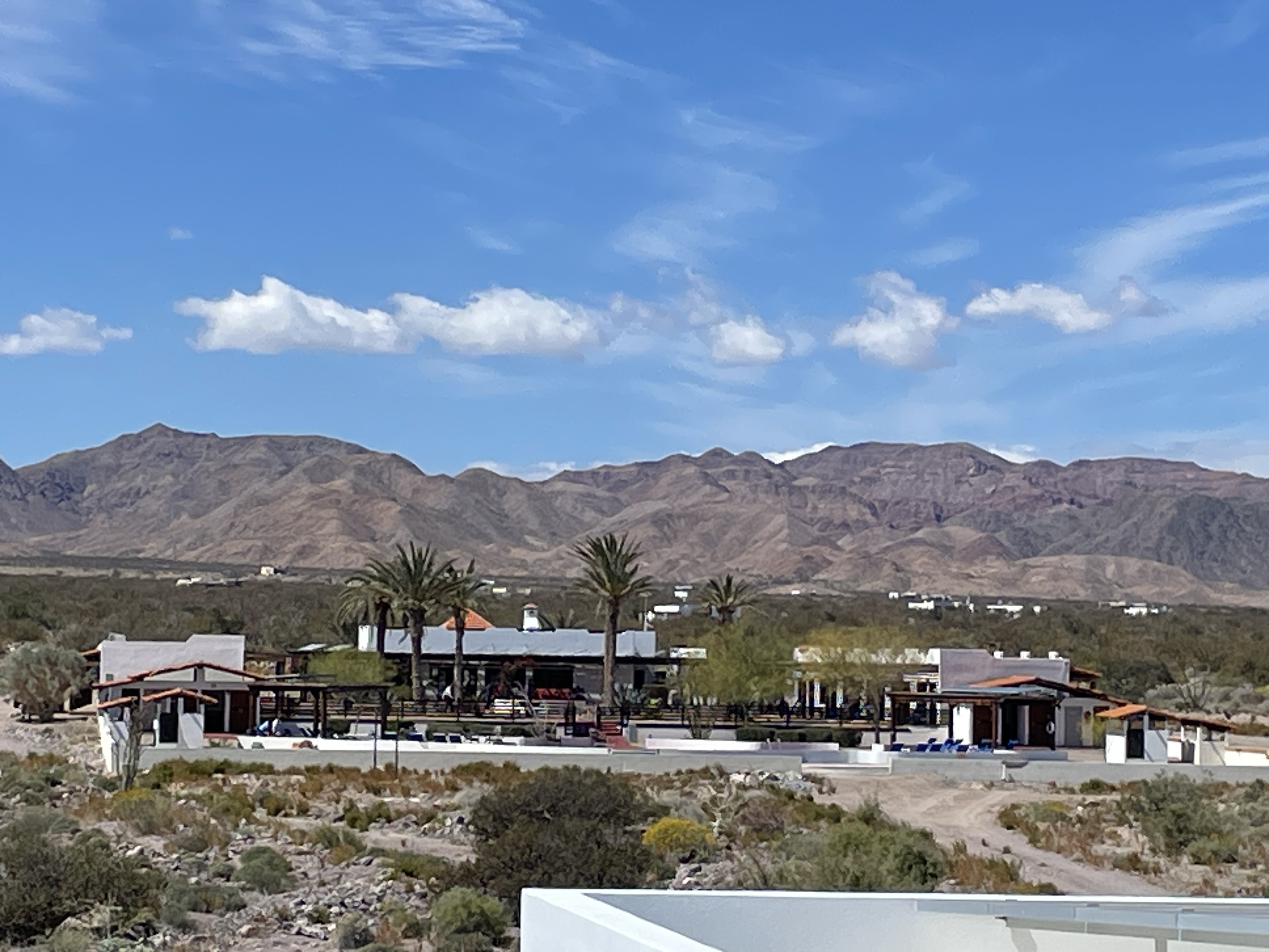
This photo is of the clubhouse and looking the opposite direction toward the mountains. Here I am standing on the roof of the house in the previous photo.

Here I am in front of the pool in front of the clubhouse facing the Sea of Cortez. The house in the first picture is on the left in the distance.

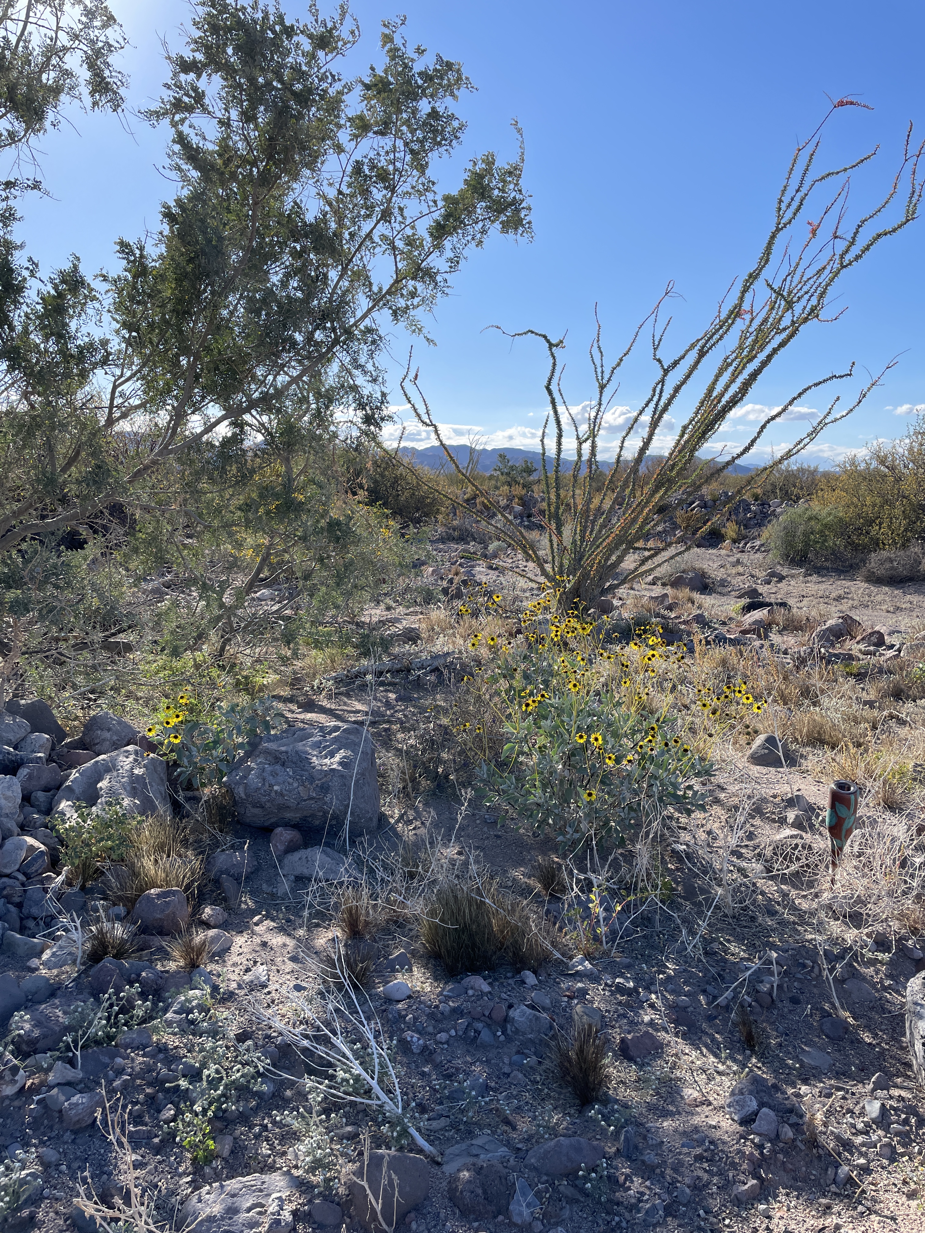
This is desert land where even though it can get hot in summer, the sea breeze keeps it relatively cool.

The plant on the right is ocotillo which is protected. If you are building a house and it is in the way, you have to move it elsewhere. You cannot just get rid of it.
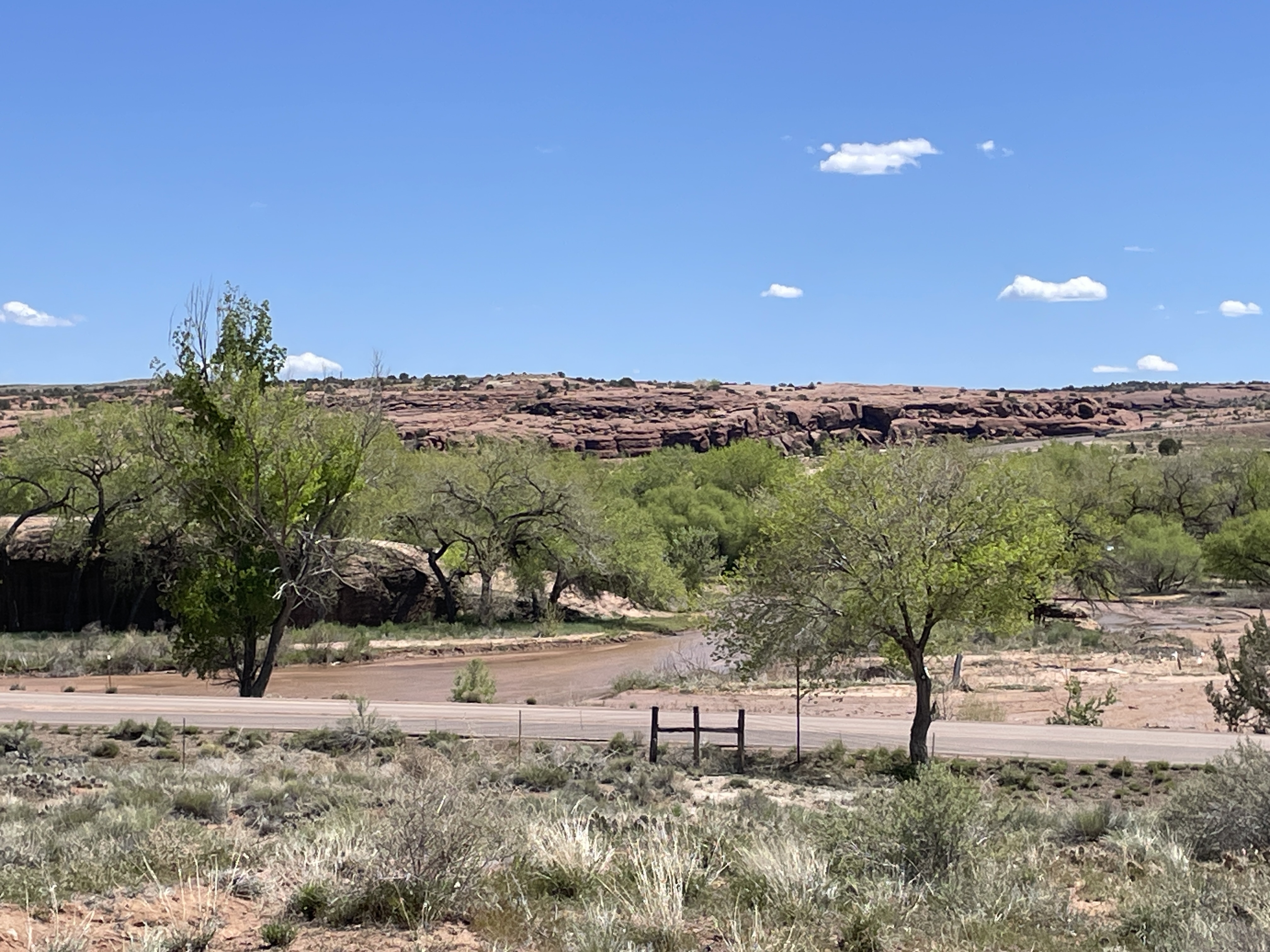
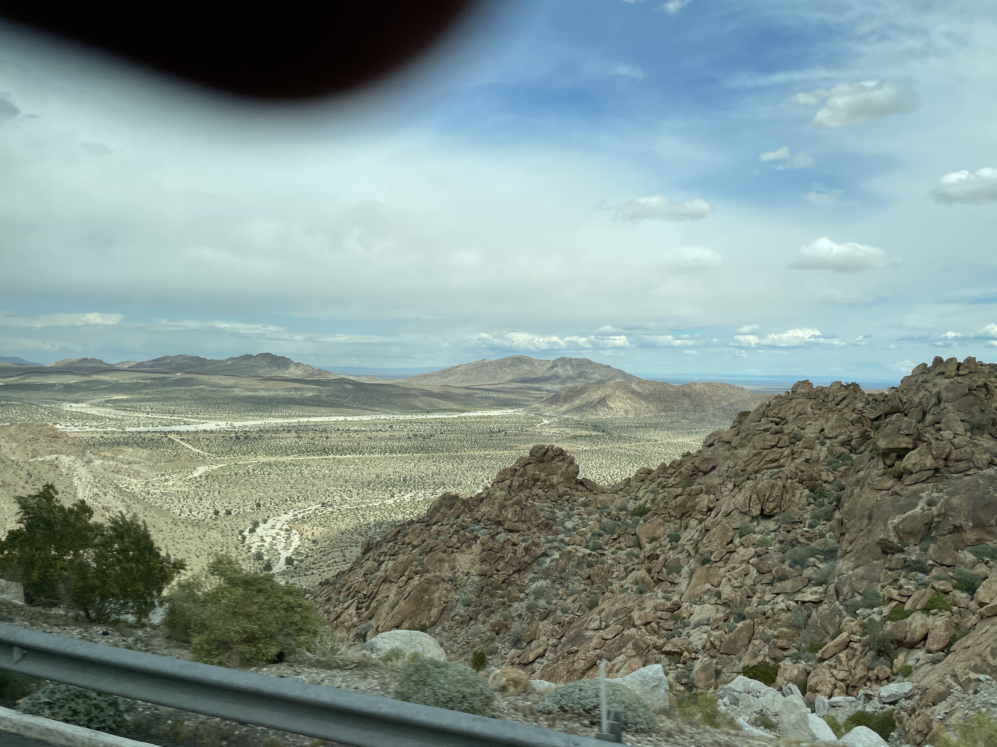
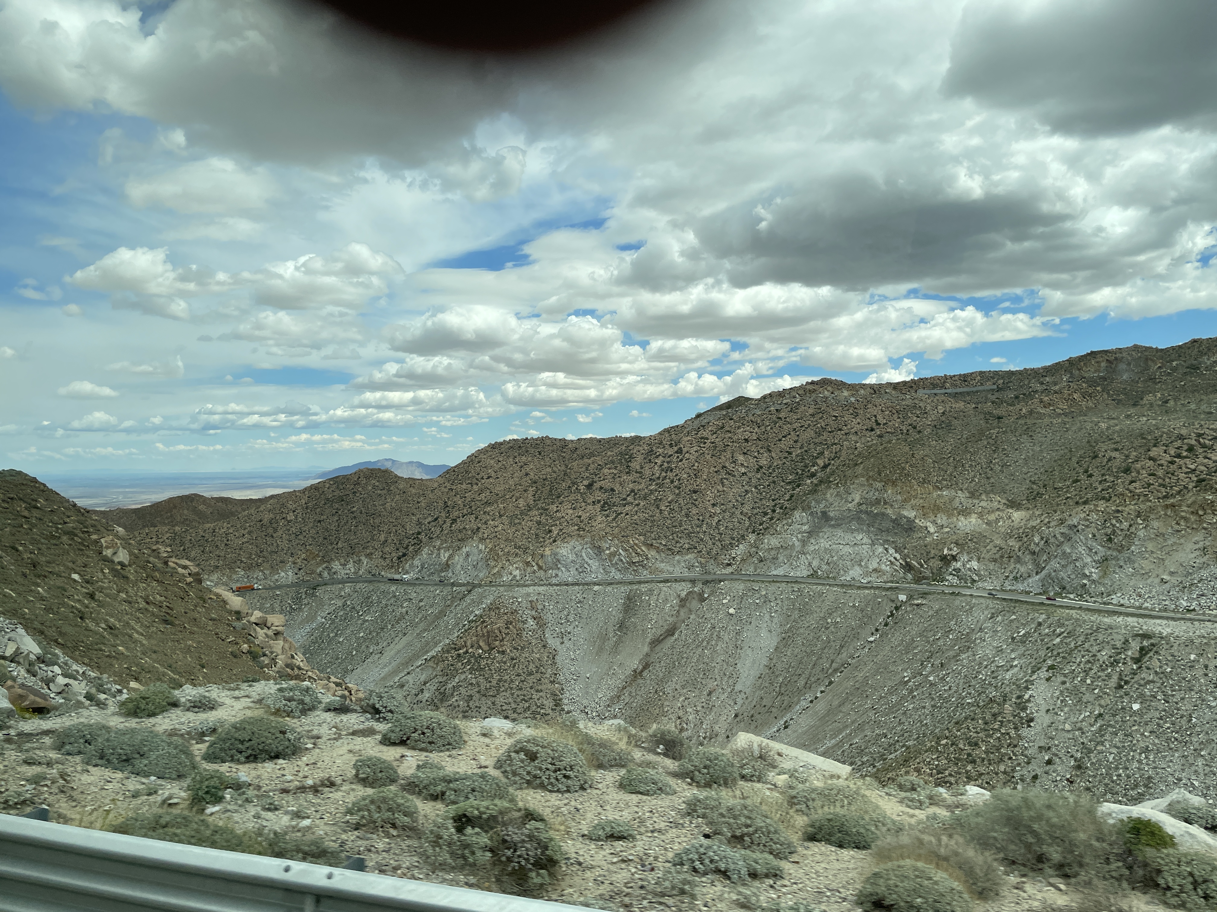
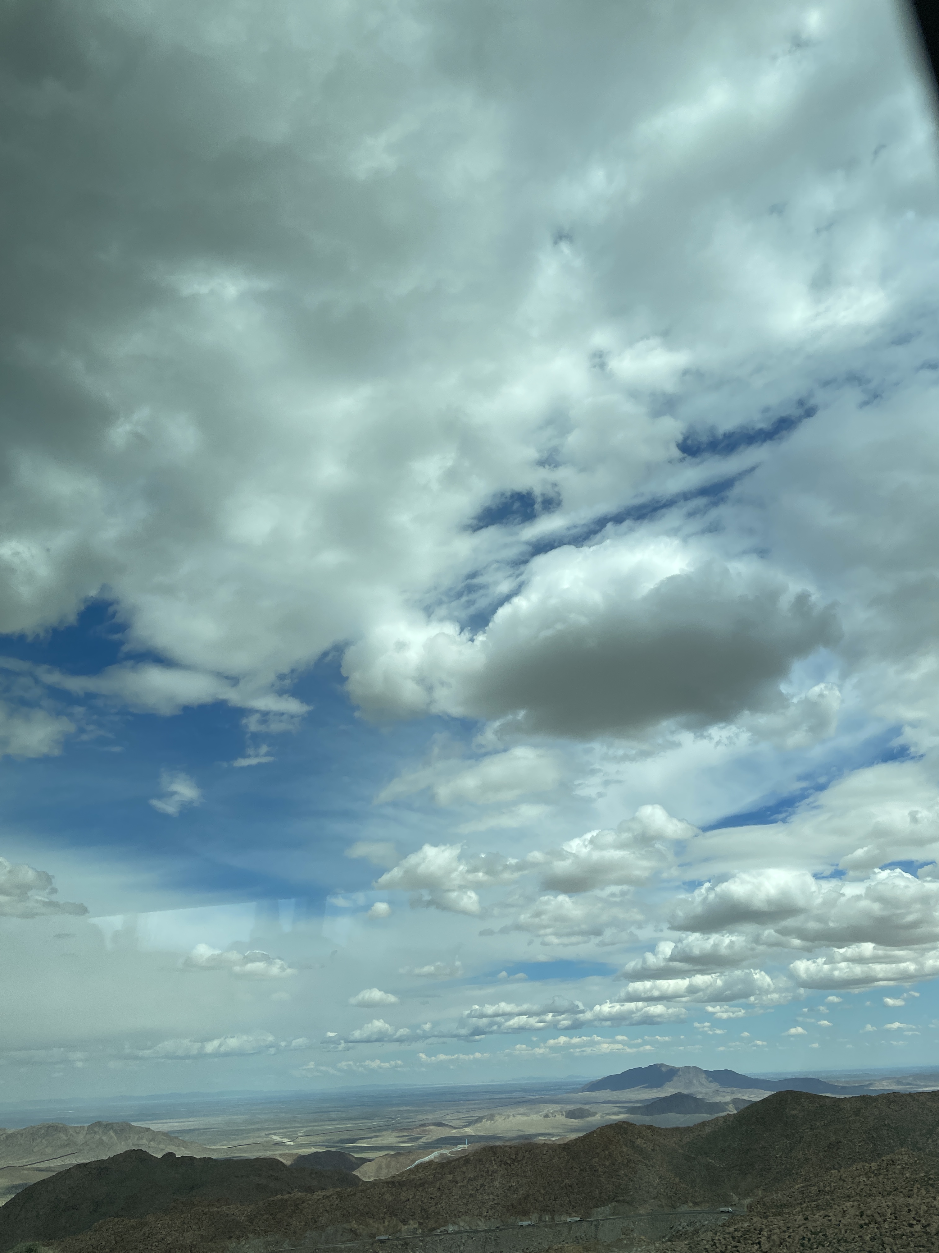
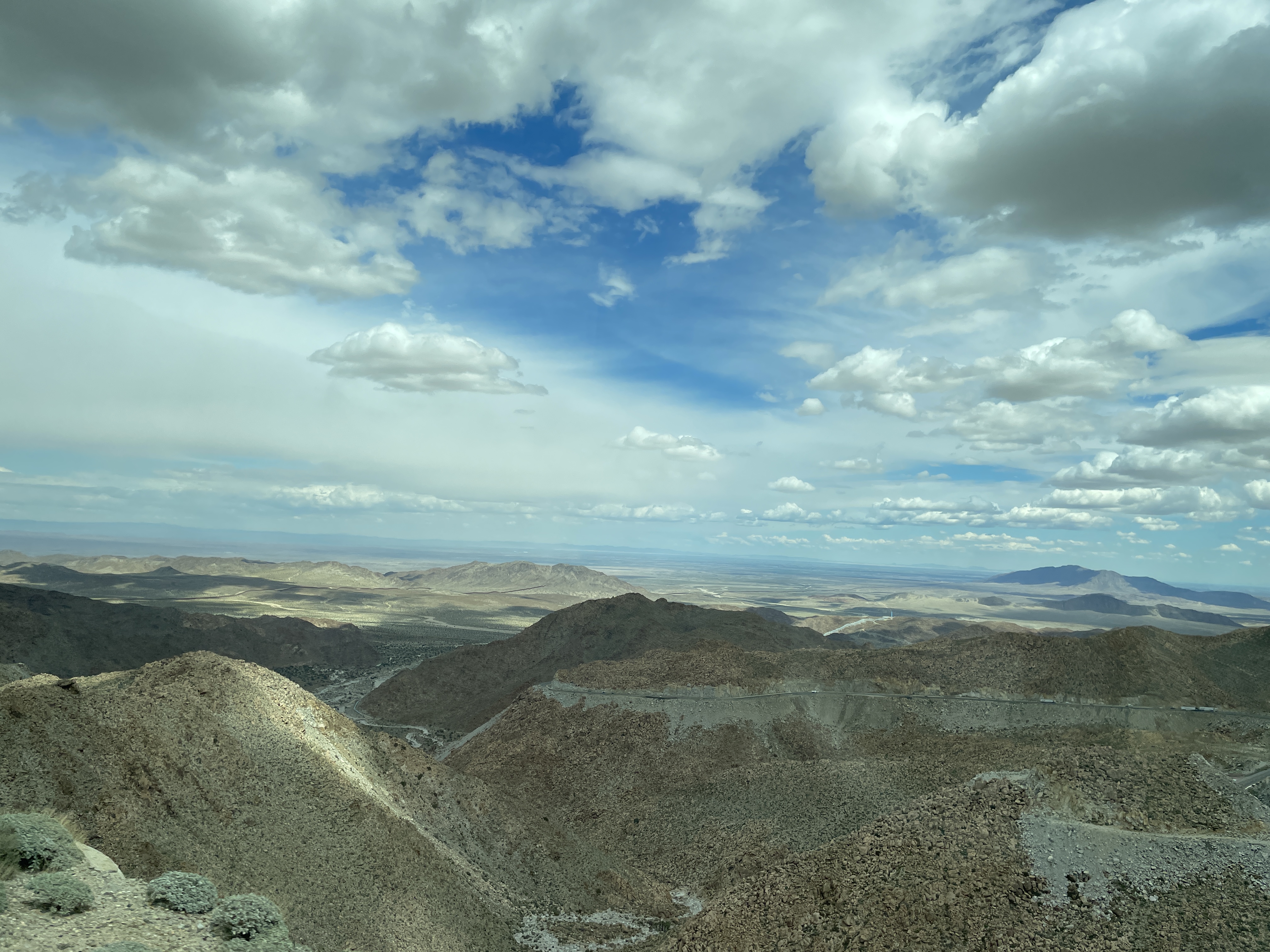
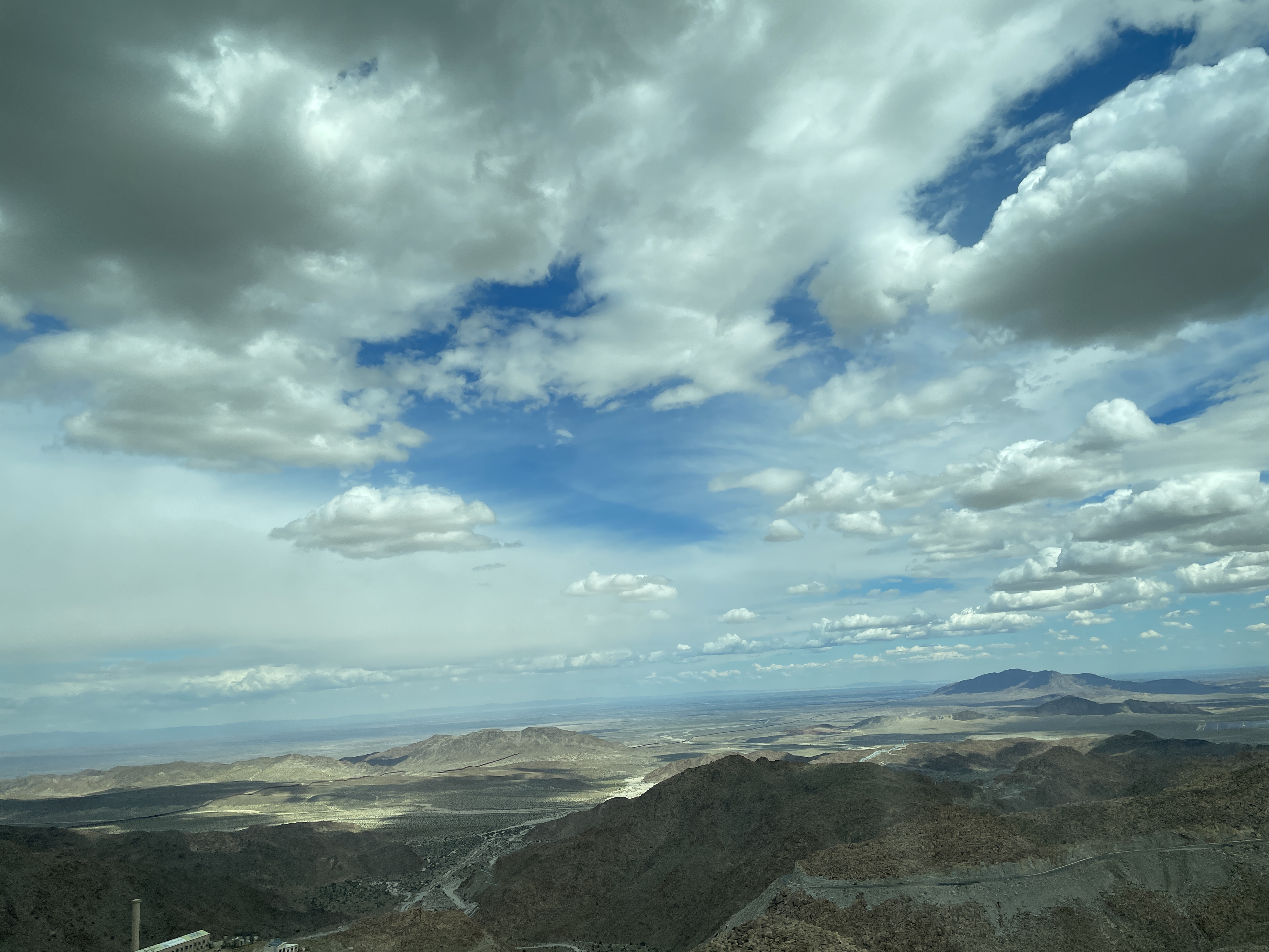
Monday was a big adventure trying to cross the border. We arrived in Mexicali only to discover no busses could cross the border there so we had to take the highway to Tijuana and cross there. To do this you must cross a mountain pass. What a feat of engineering building this road must have been. It is quite incredible and as you climb higher and higher the views go on forever into the far distance. The following are photos I took from the bus window as we drove higher and higher.

These mountains are made of rocks of all sizes that are just stacked on top of each other. Here only these small blue-green plants seem to thrive.

In this photo you can see the highway where we had just traversed.

Here you can see how at this height the mountains are nothing but stacked rocks of all sizes.

After the summit as we went down toward the town of Tecate, it started to rain and it rained most of the way to Tijuana. The Pacific side of this part of Baja gets rain and it was lush green this time of year while the Sea of Cortex side is desert.

I do not recommend crossing at Tijuana in a large bus. Even though we had sent all our passport information in advance, they made the bus sit there for nearly an hour and wait. Meanwhile those on foot and in cars were just zooming along at a rather rapid pace. Then we had to get out of the bus with all our luggage and everything and wait more. I crossed the border (not in a bus) last April and it did not take long at all. I have heard that Tijuana is the busiest port of entry from one country to another in the world but have not verified that. It certainly was busy yesterday.

Cruise of Lights at Huntington Harbor


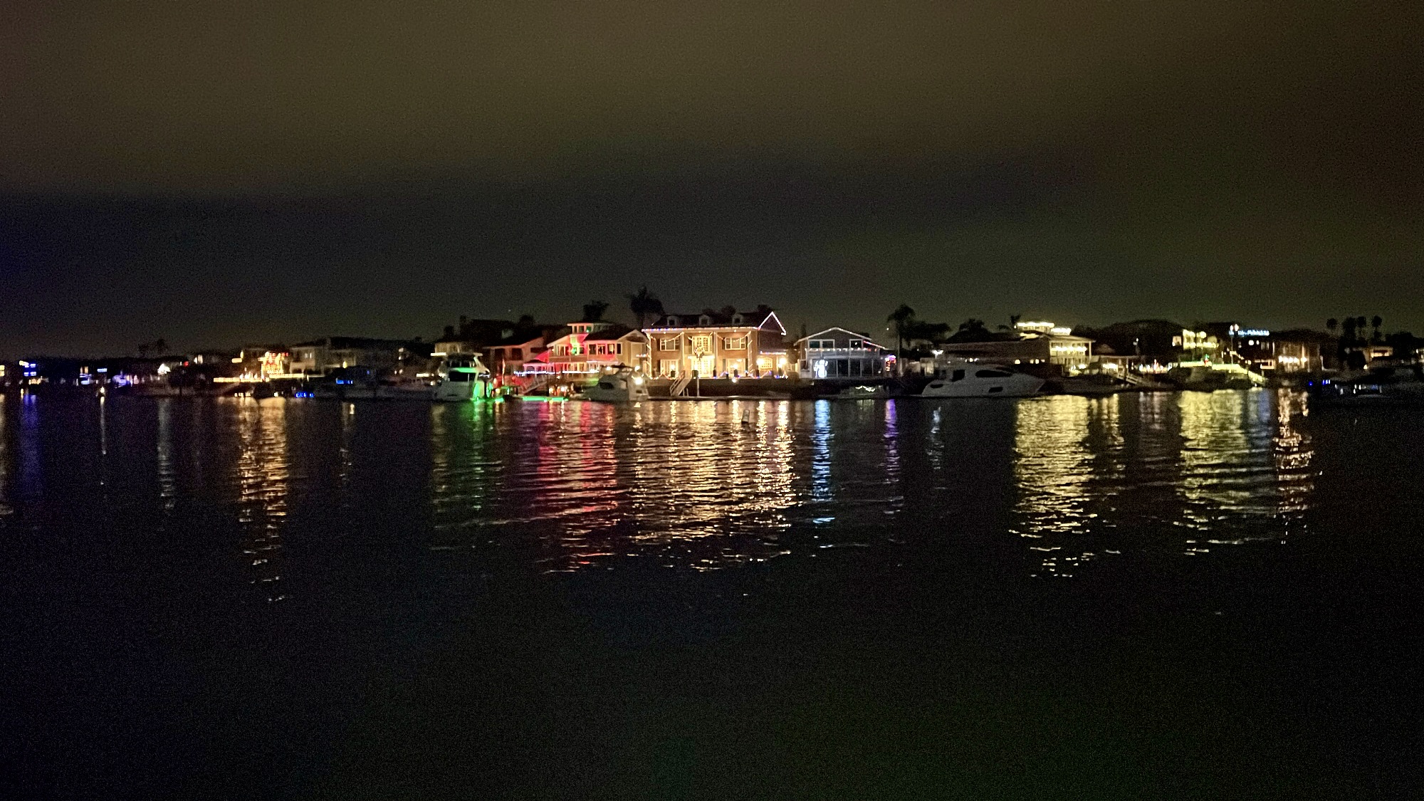
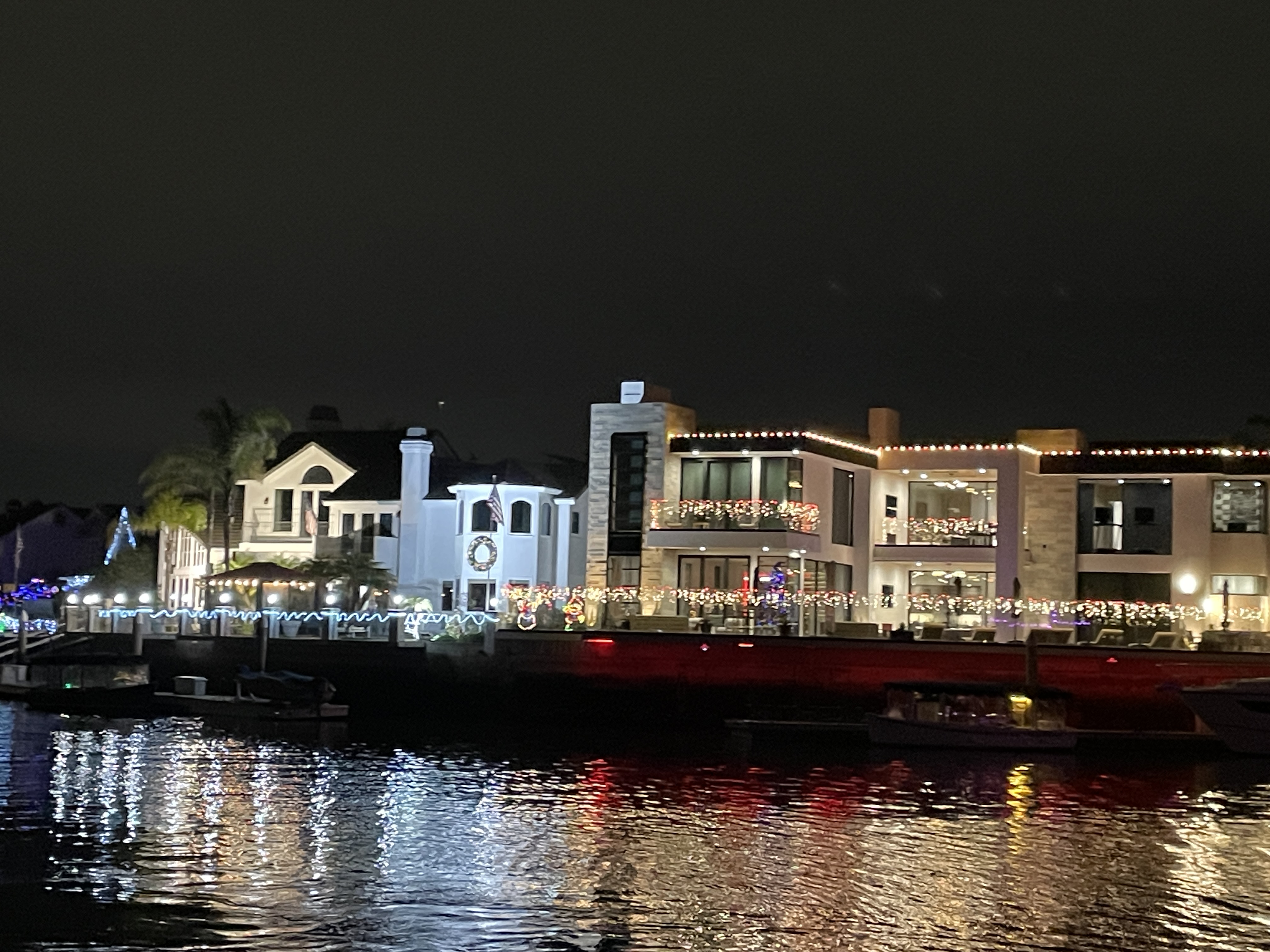
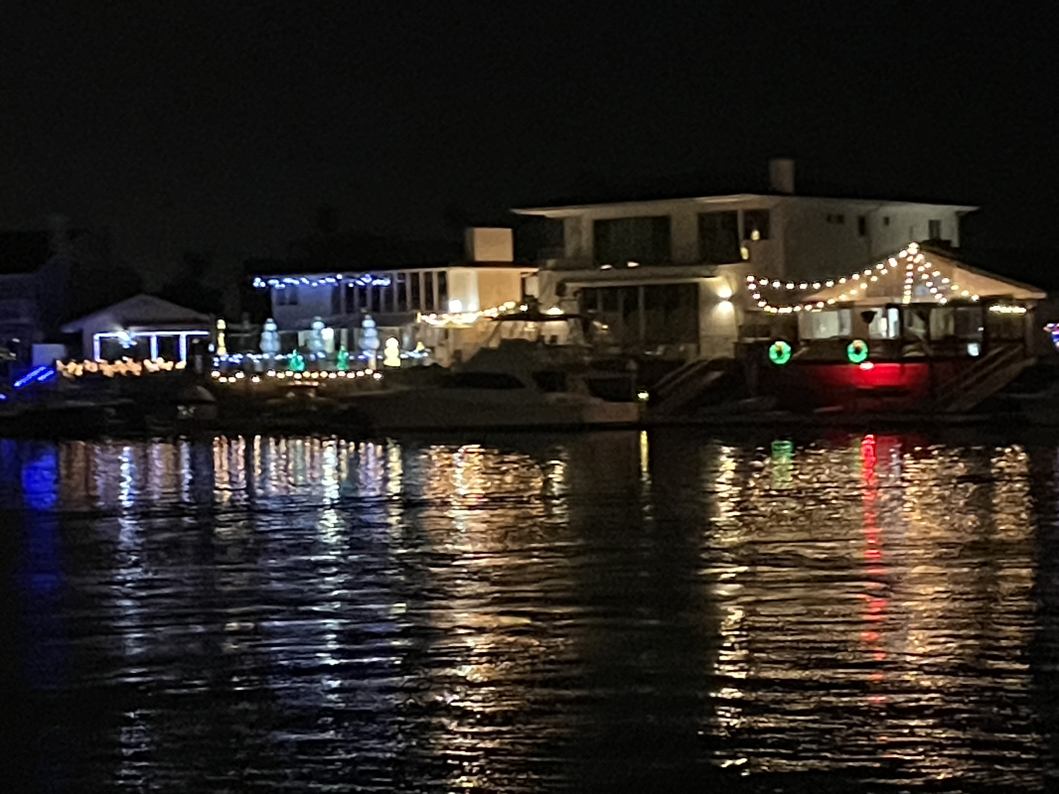
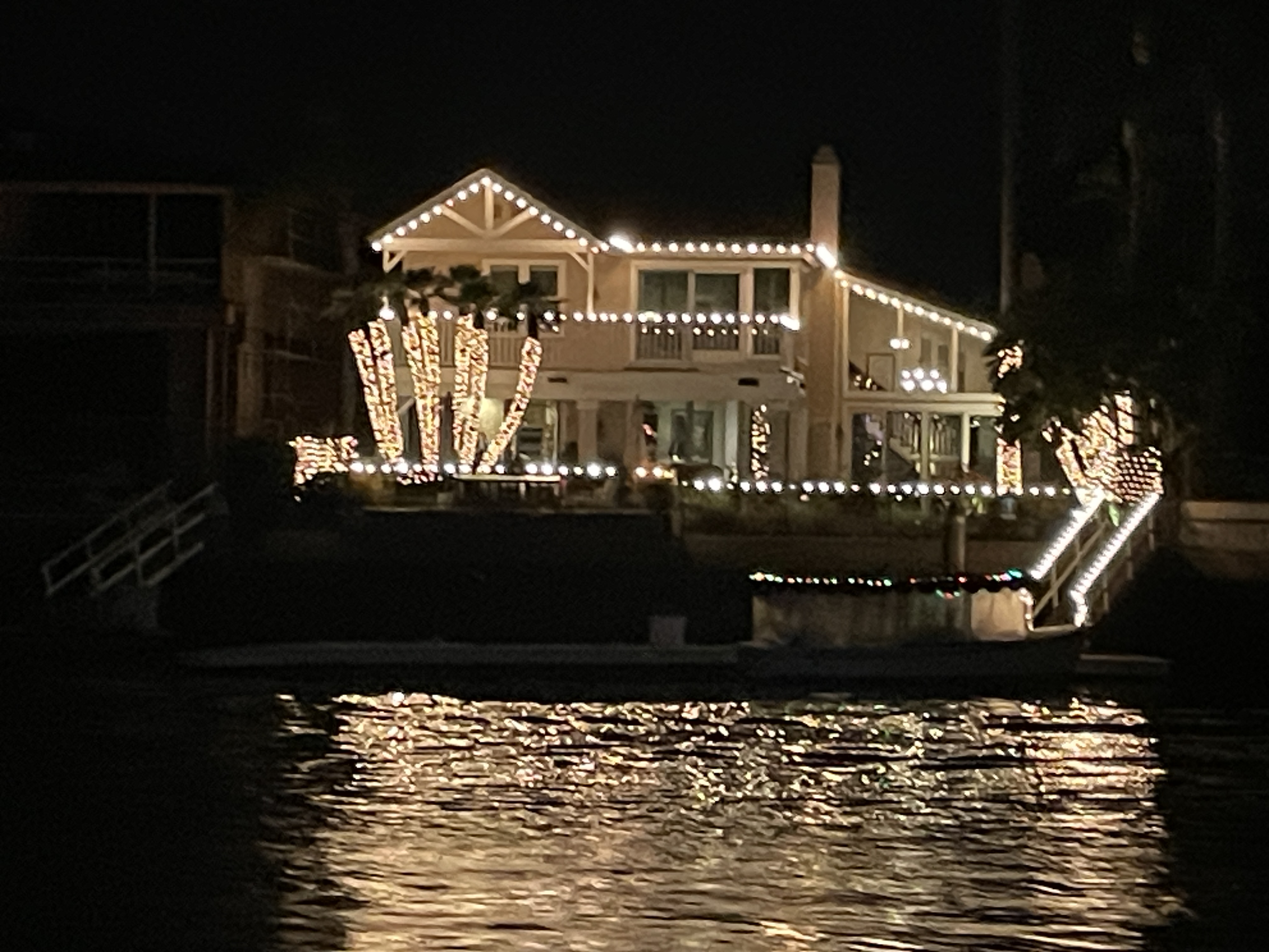
For more than sixty years this cruise has benefited their local orchestra. I signed up through a local tour, rode the bus to a shopping center at Huntington Beach, strolled around, and then later rode the bus to the actual harbor to board the boat that took us through all the canals that made up the harbor. The houses are close together and right on the water. Many are three story because no room to expand except upwards. While some are smaller, many of the houses are large with landings where they have large vessels docked. It was not easy to take photos because the boat was moving rather rapidly at times. It was a warm night and not very windy so perfect for this little adventure.