#JoinThePack: Will you howl fight for a future with wolves? Ooowwwwoooooooooooooooooooooooo!!!!!!


As a fan of wolves and other predators, e.g. pumas, I want to share this.  Predators help maintain a healthy ecosystem.  Also see my other posts about wolves.

The wolf’s return to Yellowstone restored an ecological balance which had been lost. Watch the animated film, “The Fable of the Wolf.” Will you howl + fight for wolves? Ooowwwwoooooooo!

Source: #JoinThePack: Will you howl fight for a future with wolves? Ooowwwwoooooooooooooooooooooooo!!!!!!

Costa Rica Adventure, Day Three–Part One


After lunch at the National Theatre we headed to Monteverde, a small town with only one unpaved road in and out.  One big change since I was there three years ago is the road.  It has been widened considerably and apparently plans to pave it are in the works.  The original reason for not paving was to prevent hoards of tourists from invading.  Apparently, that failed; tourists came anyway.

This town’s origination grew out of Costa Rica’s decision to disband its military in 1948, a practice which continues today.  Quakers from Canada moved here for that reason and created Monteverde, now famous for its cheese and, of course, the nearby Cloud Forest.  The hotel, where I have now stayed twice, El Establo, is owned in part by Quakers and serves a favorite of mine, fried cheese.

SAM_0640

Nine buildings up and down the mountain house rooms.  Previously, I stayed in one of the lower buildings; this time we were near the top way above this lake.

SAM_0641

The views from all the rooms provide a vista all the way to Nocoya Bay.  After we put luggage in our rooms, we headed out for a night walk in the forest, the reason we had been instructed to bring flashlights on the tour.  We saw spiders, birds sleeping, a mouse, all sorts of insects, but nothing too exciting.  Probably some of the group members were too scared and too noisy.

The next day breakfast occurred at 7 just before we took off for the Cloud Forest and a hike to the Continental Divide–all six miles or so.  I had hiked here before but on a different trail and in a huge downpour.  Luckily, it rained only a little.  However, if you are in the clouds, you get wet.

Lush does not even begin to describe the Cloud Forest, a huge reserve with numerous indigenous species of everything from hummingbirds to insects to all sort of plants that exist nowhere else on earth.

IMG_1923

Every tree, branch, every living things is covered with other living things.  This must be botanist heaven.

IMG_1924

IMG_1926

Looking up into the branches of a tree fern.  Yes, that is a fern. So much to see, it is hard to keep up with the guide, a native Quaker whose father was one of the founders of Monteverde.

IMG_1929

IMG_1927

It is difficult to know what photos to take; everything holds some kind of fascination and lots of beauty.

IMG_1931

Another tree fern right by the trail.

IMG_1934

In the clouds at the Continental Divide it’s incredibly windy yet the clouds stay and you get wetter and wetter even though it is not raining.  Water dripped off my slicker, the trail oozed mud and water, it was hard to keep my footing on slopes.

IMG_1935

IMG_1936

On the way back we crossed several streams.  Everywhere in Costa Rica signs in both Spanish and English instruct people to save water.  They made me chuckle.  Streams run everywhere in much of the country, especially on the Caribbean side.  Here I live in a semi-arid environment where I see wasted water running down streets in town and in Costa Rica they conserve water and recycle things I did not even know were recyclable.  Hotels provide recycling bins and some even turn off lights automatically when you are not in the room.

IMG_1937

The name for this flower translates from Spanish as hot lips.

IMG_1938

This looks like a tree but it is not.  A giant, parasitic fig plant surrounded the tree, eventually killed it, and this is the result.

After we finished the hike, we walked over to a shop that feeds hummingbirds, hundreds of species of which live in Costa Rica, many only in the Cloud Forest. Took a video of them, but it refuses to upload here.  Some were incredibly iridescent and much larger than any I had ever previously seen.


Evening After the Rain


In the last two days it has rained over two inches in a place where the annual rainfall averages approximately 18 inches.  Rain is predicted all week.  The rain ceased briefly at dusk and the sun radiated across the landscape as more rain clouds gathered providing a quiet, intense beauty here on the rim of wonder. IMG_1578   IMG_1579   IMG_1580   IMG_1581

My Ethiopian Adventure: The Roof of Africa, Part Two


Although wonderful paved roads exist in most of the northern half of Ethiopia, the government forbids a good paved road throughout Simien Mountains National Park.  Since we went during the rainy season, a muddy mess prevailed.  At times I thought, “This is hopeless; we will never make it through.”  I was so wrong!  Alemu persisted; we always arrived where we were headed in spite of the roads, the trucks, and the mud.

IMG_0599

We came up on one of the first obstacles on the road here.  We parked, got out, and watched.  The Al-Qaeda truck had a flat tire–the truck in the front.  The Obama truck, after unloading the passengers, tried to pass with this result.

IMG_0600

It slid into the Al-Qaeda truck.  The women passengers and we climbed up to the grass and waited.  The men surveyed the situation and decided to solve the problem.

IMG_0601

They attached a rope to the front of the Obama truck and pulled successfully.  Everyone climbed back in the truck and headed on down the road.  This allowed us to continue on our journey.  As we drove along, the guide noted the duikers along the road.

IMG_0603

See the two brown spots in the middle?  Duikers.  I admire real wildlife photographers.  With the exception of the gelada baboons, getting good wild animal photos seemed quite a task.  Either they moved too fast or they blended so well into the landscape, you could only see them when they moved.

IMG_0604

Here we stopped to hike to the highest waterfall in Ethiopia.  Once the guide explained where we would walk, I decided to hang out with Alemu and the driver of another vehicle stopped here with four people from New York, some of the few people we met from the US.  Most travelers to Ethiopia appear to be Europeans.  The other driver liked to talk and regaled me with stories, one of which was about a German woman who decided to trek (visitors can elect to go on either 3 or 10 day treks here).  It was cold, they camped in a heatless (what else is new!!) building.  She requested her guide sleep with her because she was so cold.  This continued for days.  Apparently, she became very cuddly and the guide misinterpreted, etc. etc.  Luckily for the trekkers, depending on how “primitive” they want to trek, men like those in this photo, take food and other supplies from one camp spot to another.  The other driver knew a lot about Ethiopian birds and pointed out one called a bone crusher.  A raptor, it captures its prey in its talons, flies high, drops it on a rock to kill it, waits until something else eats off the meat, and finally gets the bones, flies high again, and drops the bones on a rock to break them open.  It eats only bone marrow.

IMG_0609

Because people lived and farmed in these mountains long before they became a park, visitors see villages and farms in various areas of the park.  We were told that the government planned to eventually move everyone out of the park.  Our guard lived in the park in an area like this one.  We dropped him off on our way out.  I also noted electric lines in areas where it looked impossible to build.  The guide informed me that a lot of Chinese died building the lines.

IMG_0610

Here and there gelada baboons appear.  This photo shows a typical view of the muddy road we traversed.

IMG_0613

Another stop waiting on Al-Qaeda and Obama trucks.  I never quite figured out why Obama trucks are called this.  They haul people from place to place but not long distances–buses do that.  I never saw an Obama truck wrecked.  Al-Qaeda trucks haul goods, supplies, anything commercial.  Like here in the US, apparently time is money so those drivers hurry.  If something is in the way on the road, drivers may drive off the road to get around it and if the load shifts, over they go.  We saw Al-Qaeda trucks wrecked everywhere–they are the terrorists of the road.

IMG_0614

Above timberline, the landscape changes to this.  The plants in the foreground are giant lobelia.  Ethiopia contains the fourth and fifth highest peaks in Africa.  Much of the time we drove above 12,000 feet.

IMG_0617

IMG_0629

Frequently, we drove through thick fog, but truly lucked out when we reached the area immediately under the fifth highest peak in Africa where rare walia ibex reside. Alemu and the guide told us often visitors come here to see the ibex and see nothing.

IMG_0625

If you look closely, you can see several ibex in the middle of this photo.  We counted 23 on this mountainside above 14,000 feet just a few hundred feet below the fifth highest peak in Africa.  Ibex blend into the landscape so well, they are extremely difficult to see unless they move.

IMG_0633

By the mountain stream red hot pokers (see middle of photo) thrive.  I was shocked to see them growing wild here, having always thought they are desert flowers.

IMG_0632

Finally, on the way back out of the park, we stopped so I could see the highest waterfall in Ethiopia.

IMG_0635

My Ethiopian Adventure–from Addis to Kombolcha


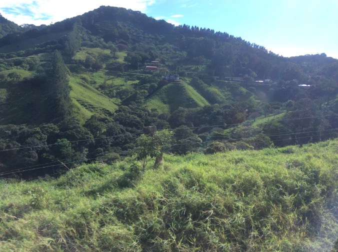
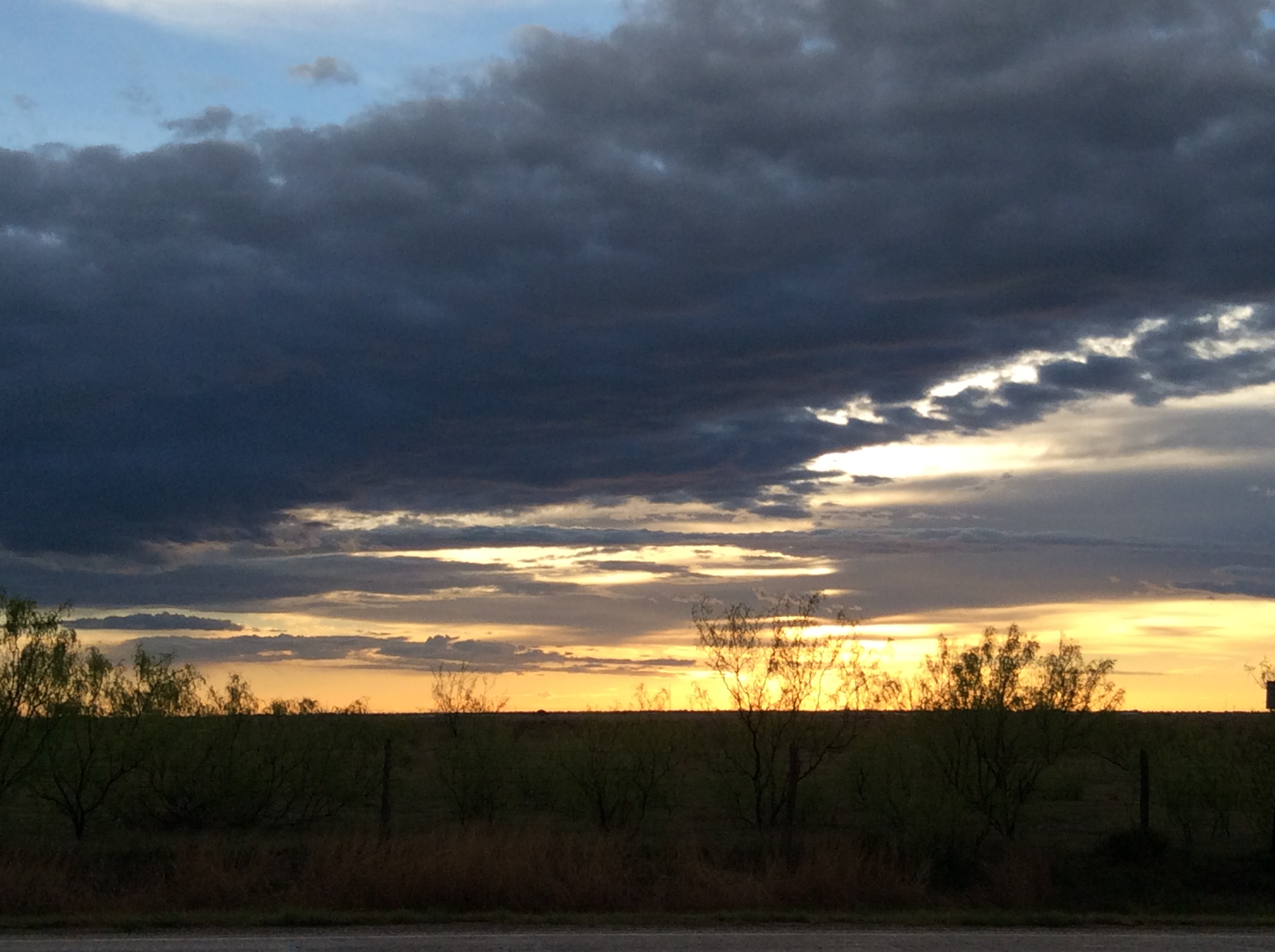
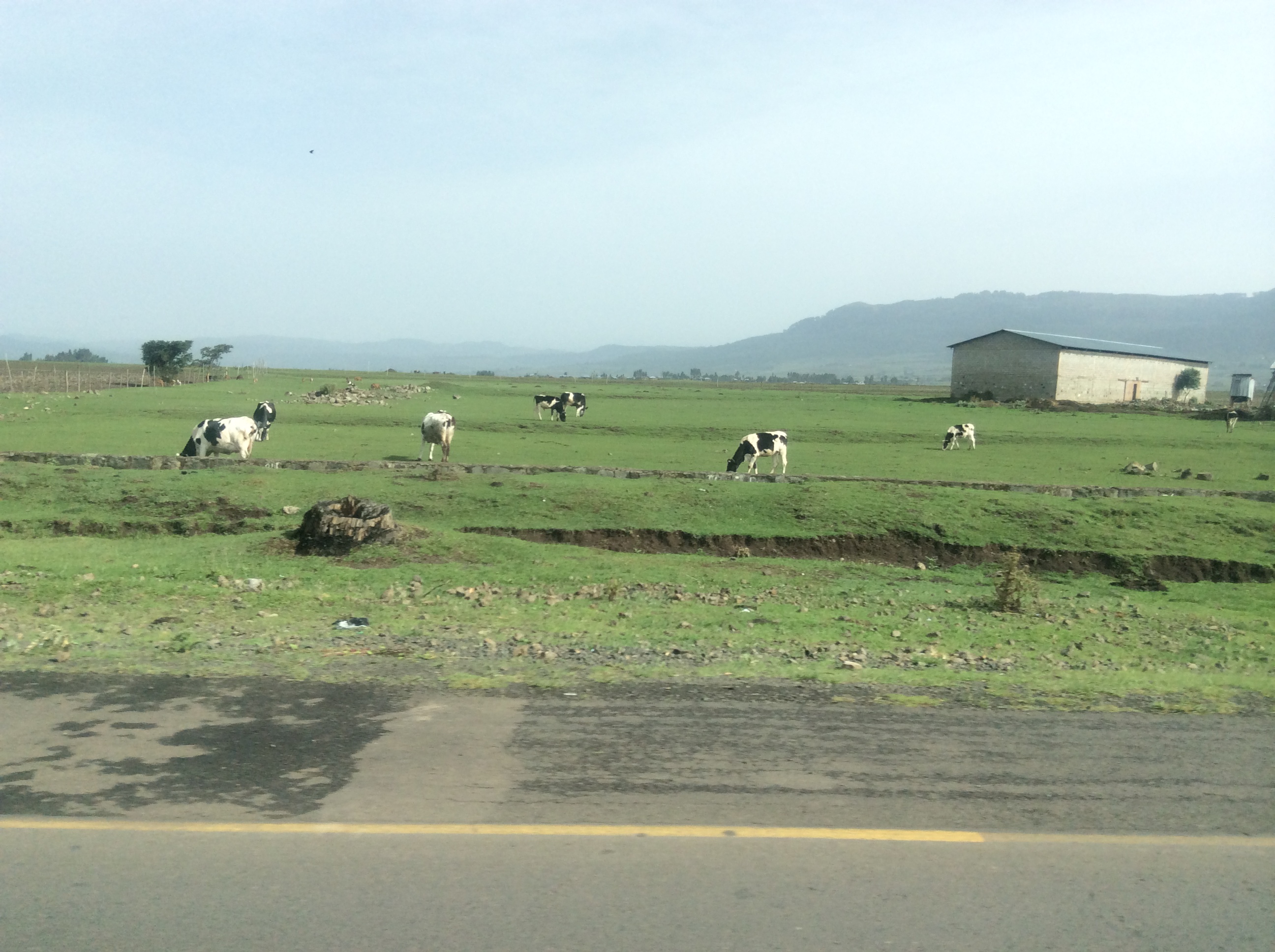
Saying goodbye to Addis at 8 in the morning, we headed northeast and later north toward Kombolcha–spelling differs, depending on whose map you view.  The official Ethiopian map spells the town as Kombolch.  Addis is high, the second highest capital in the world.  We drove northeast all morning across rivers and through green fields.

IMG_0246

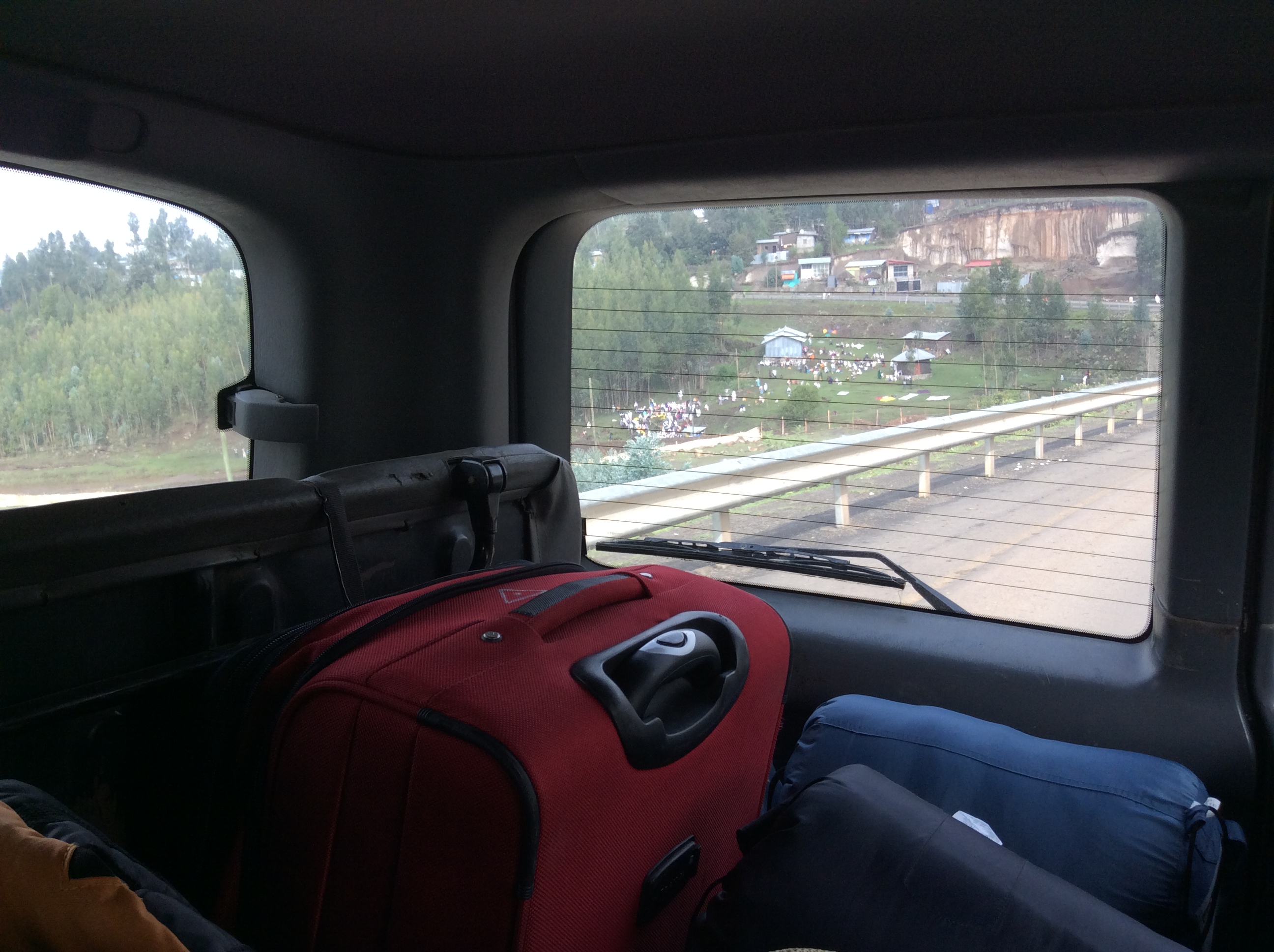
Not far outside Addis we saw this scene, a river with many people near it.  Our driver, Alemu explained this river contains holy, healing water and all those people you see through the window are pilgrims coming to be blessed by the resident priest and hopefully healed by the river waters.

IMG_0249

Who would know this is Ethiopia if no one told you? Not what I expected at all honestly.

IMG_0248

IMG_0250

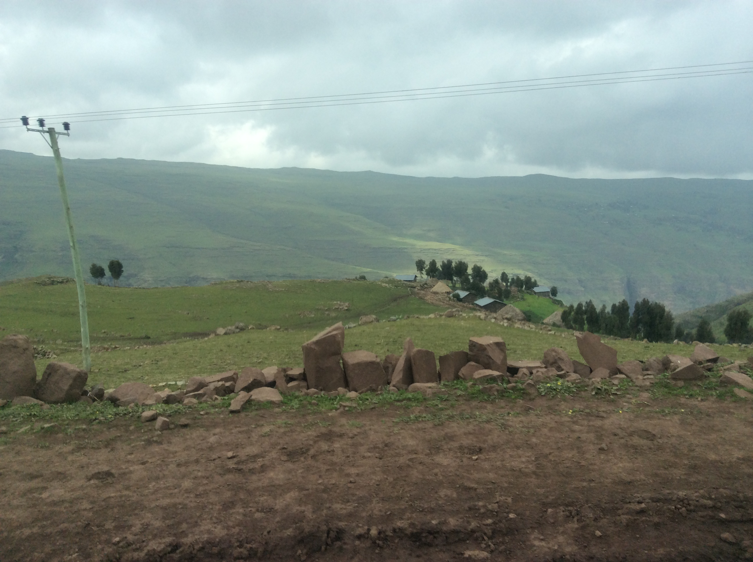
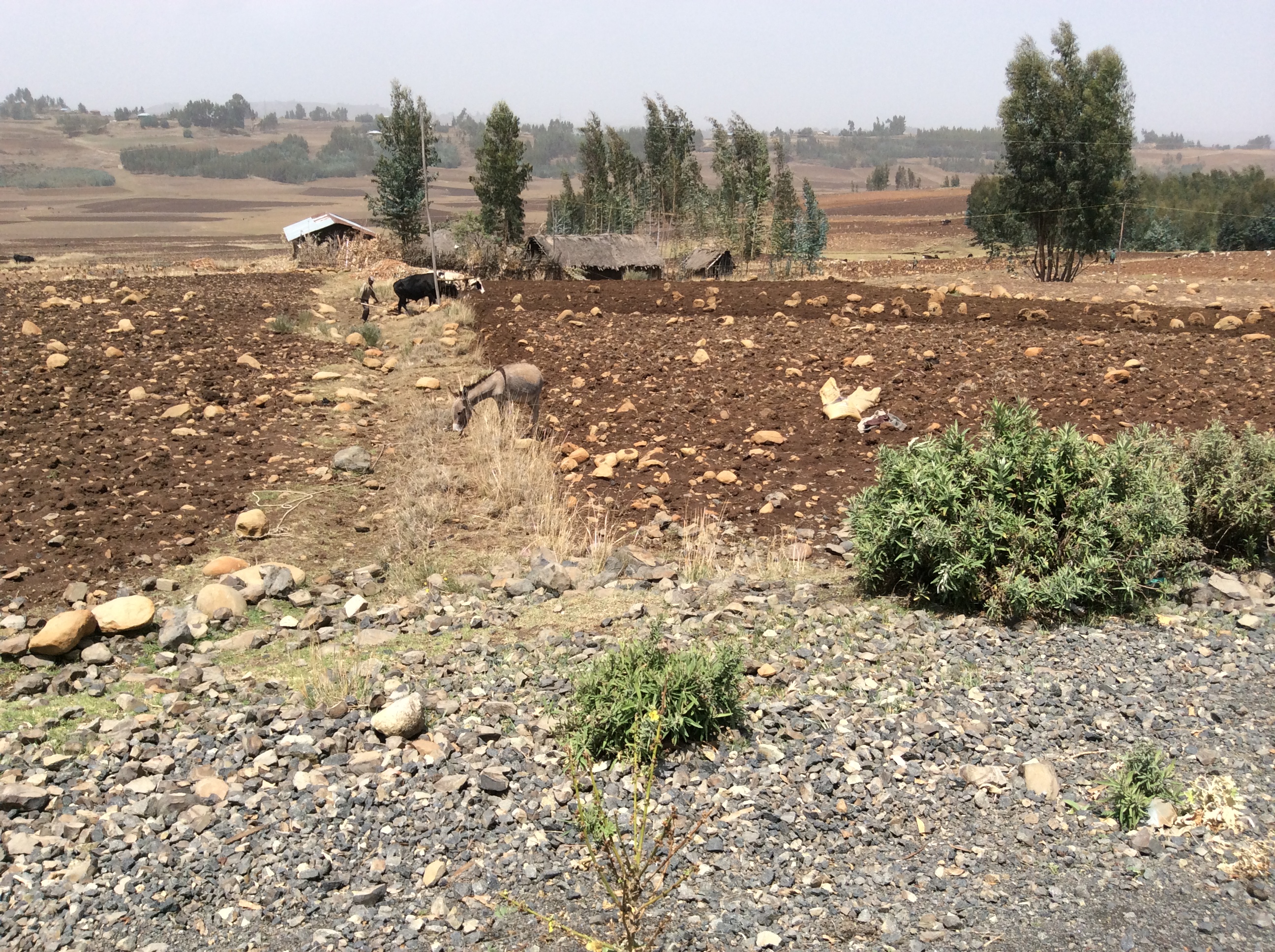
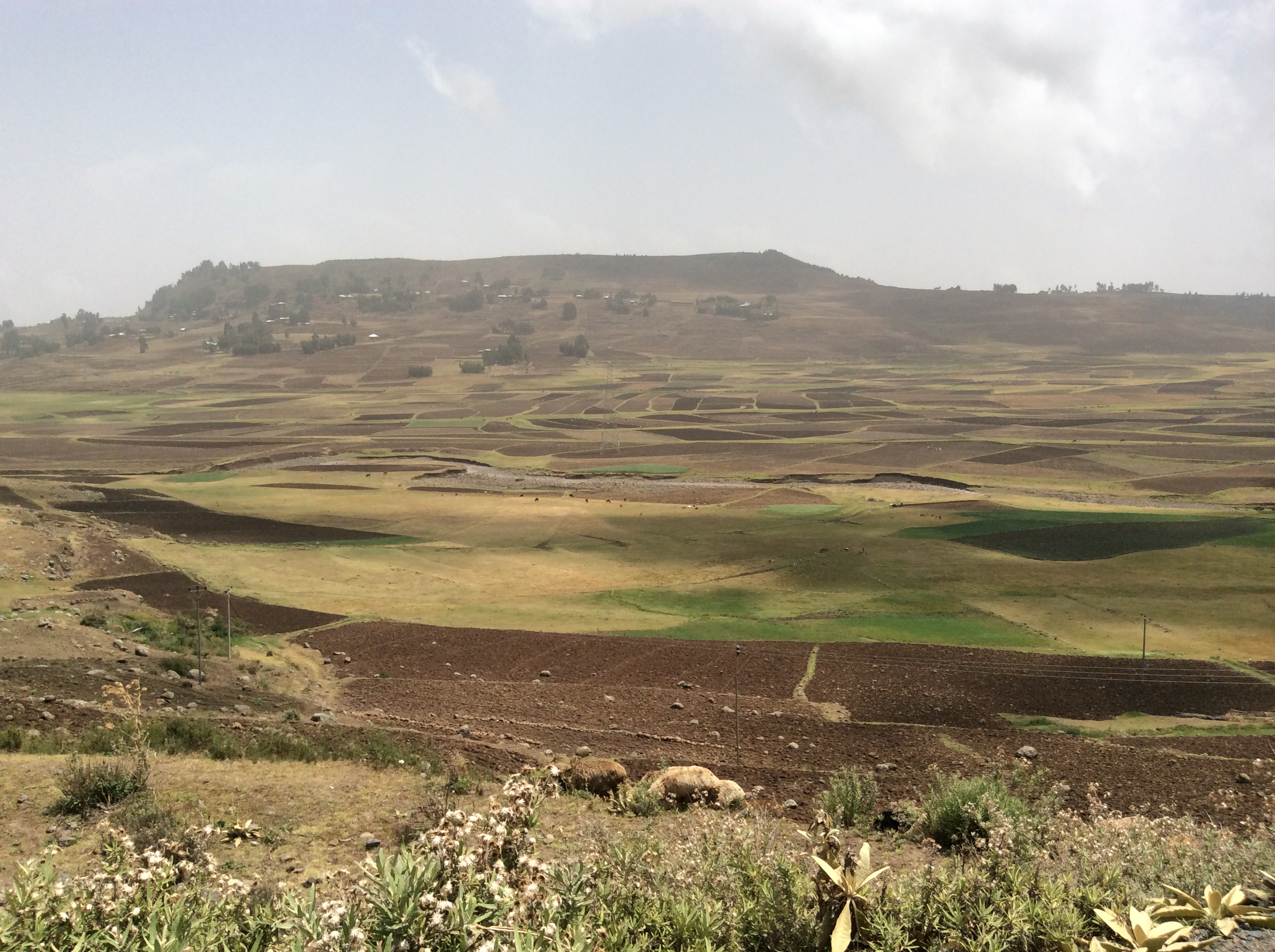
Most of the farmland is very rocky.  Farmers gather rocks, in some places make fences out of them or just pile them up.  Even with these efforts fields remain full of rocks.

IMG_0251

We drove for hours through this type of farmland.

IMG_0257

This is a typical country village which appeared off and on continuously along the highway.  Traditional buildings are usually round with thatched roofs.  More and more people have begun to use metal roofs which forces the building shape to rectangular rather than round.  We heard a story about a thatched roof house that caught on fire.  Nothing but the thatch burned because underneath the thatch was a meter of mud.

IMG_0258

Most Ethiopian farming is done the old way:  either horses or cattle pull the plow with a man guiding it usually through a lot of rocks.  I commented about seeing no tractors so then every time we saw one everyone shouted, “Juliana, there’s a tractor.”  I think I saw only five of them in ten days and only one was actually working in a field.  It became obvious rather quickly how totally impractical a tractor and its equipment would be in much of the farmland:  too many rocks and as you will soon see, too steep.  The tractor would fall over.

IMG_0261

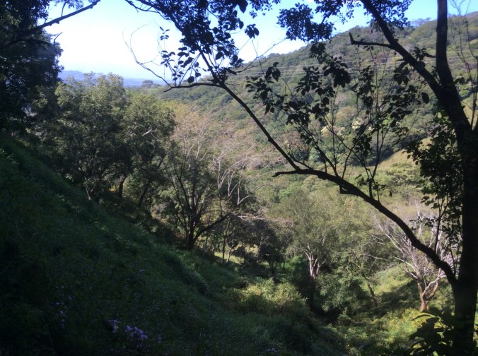
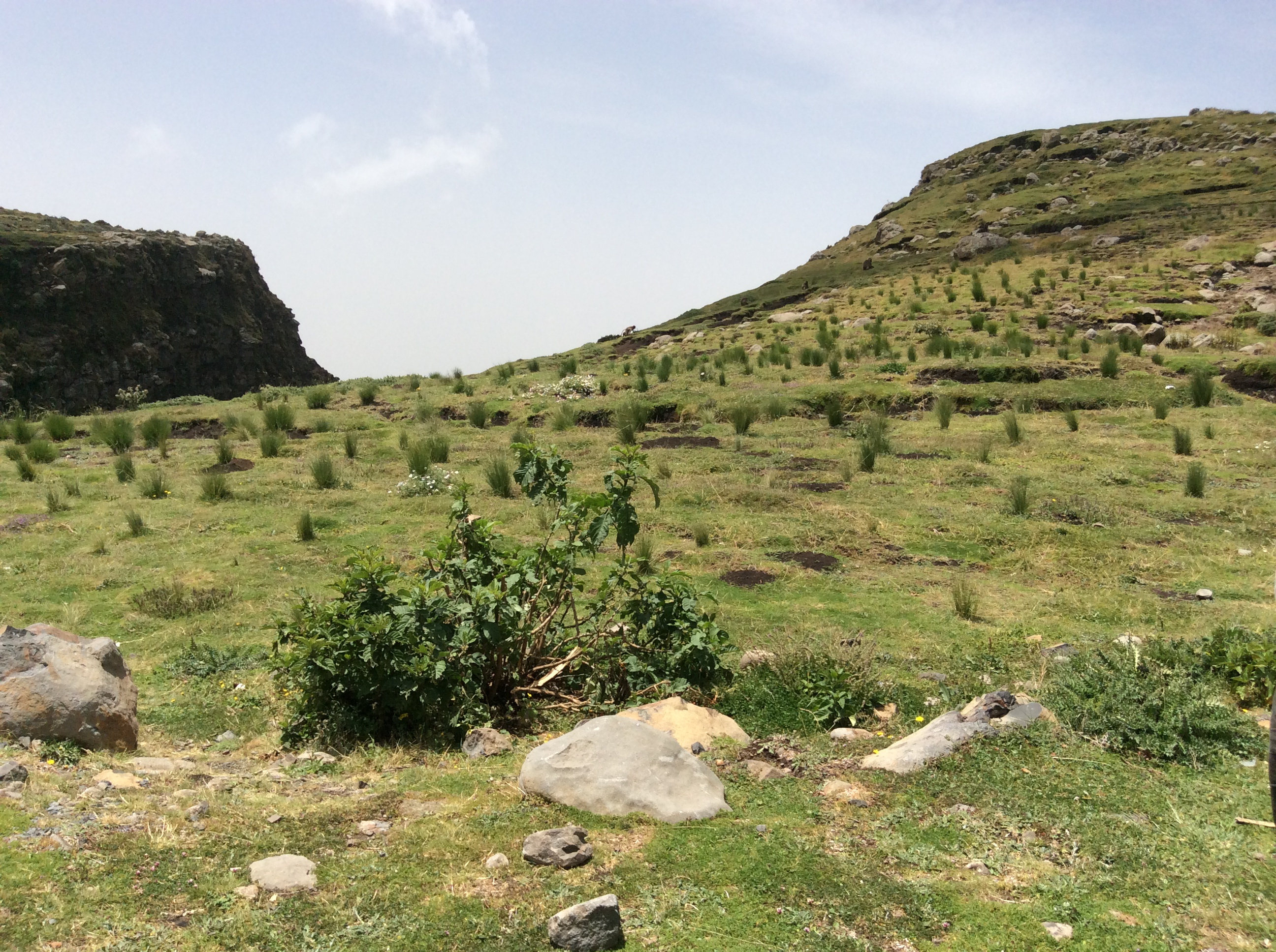
Eventually we started climbing higher and higher.  To the left was one of Ethiopia’s high peaks near or over 4000 meters–13 to 14 thousand feet.

IMG_0262

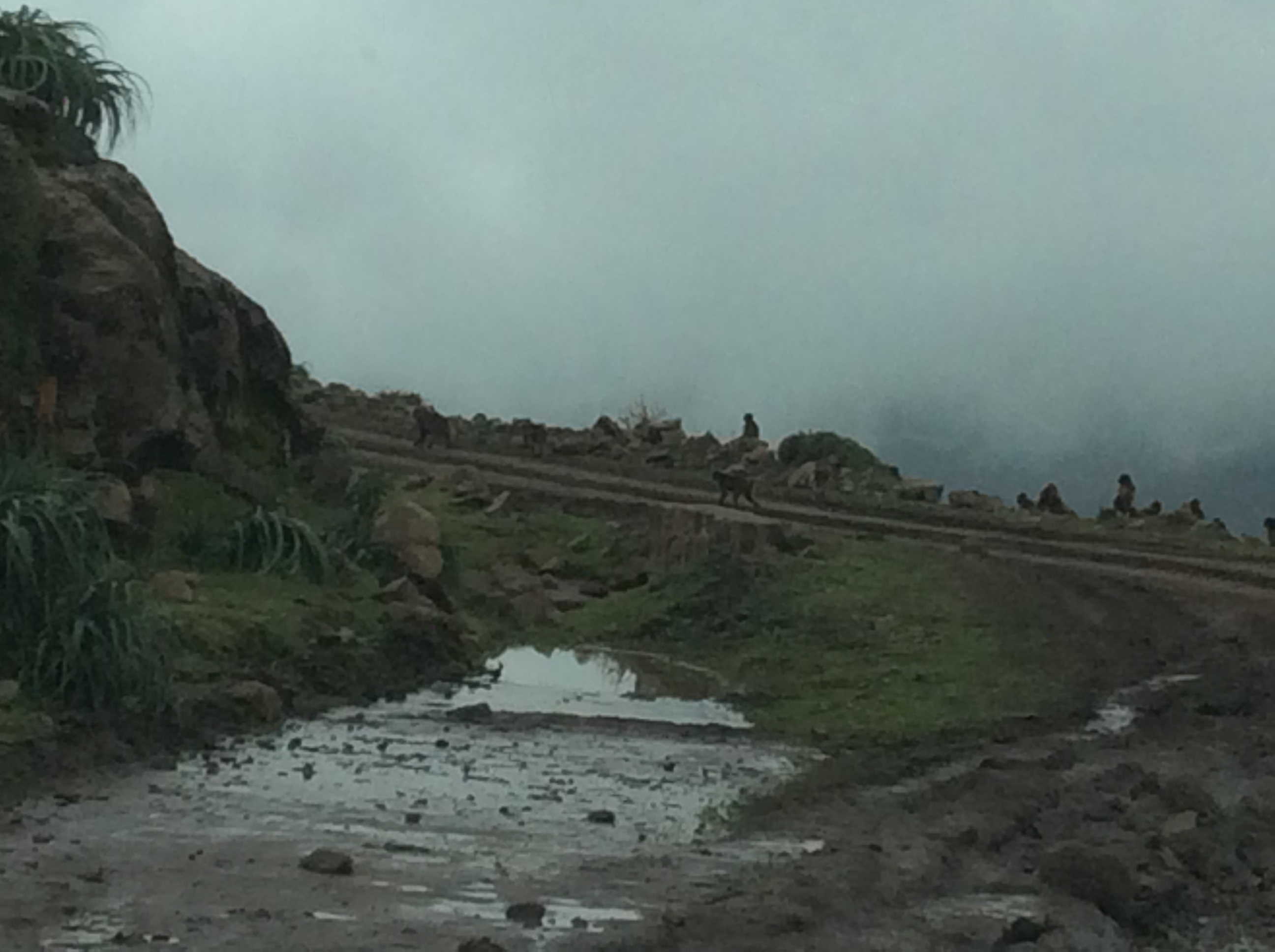
And then, there it was, Menelik’s Window.  This was the first area we saw with numerous gelada baboons.  However, these ran away unlike the ones later in Simien National Park.

IMG_0266

That’s Dino down on the edge.  At this point in the trip, I was still quite horrified by all the steep cliffs and stayed way back.  He was trying to get a good photo of the baboons.  Menelik II, the last Ethiopia leader to be able to claim himself as a direct male descendant of King Solomon, found this place special, a view into the real Ethiopia across miles of mountains. He is known for defeating the Italian invaders, expanding the kingdom, and especially for modernizing Ethiopia.

IMG_0267

My grandson now owns this hat.  This boy and his friends spend their days chasing the baboons away from the tufts of grass, which their families use to make the thatched roofs, and making hats for sale.

IMG_0264

You can see the selection of different styles of hats on display on the grass.  On the mountainside in the back lots of herbs grew, including thyme.  The boys also sold packets of herbs they had gathered and dried.

IMG_0268

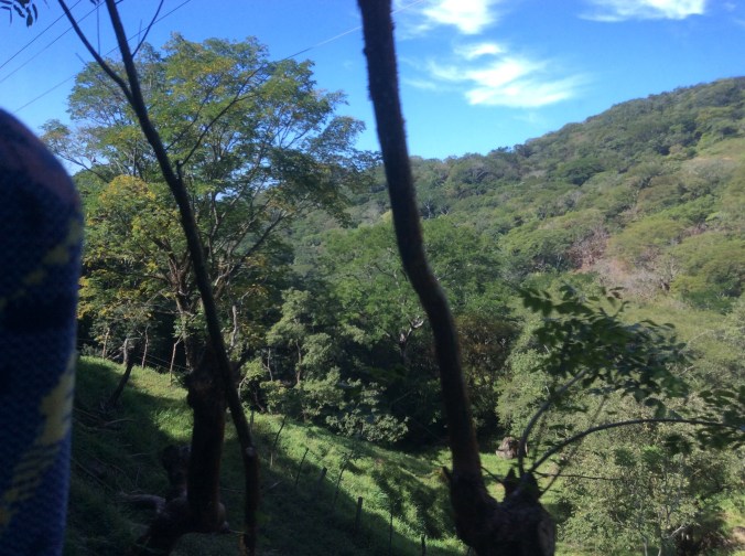
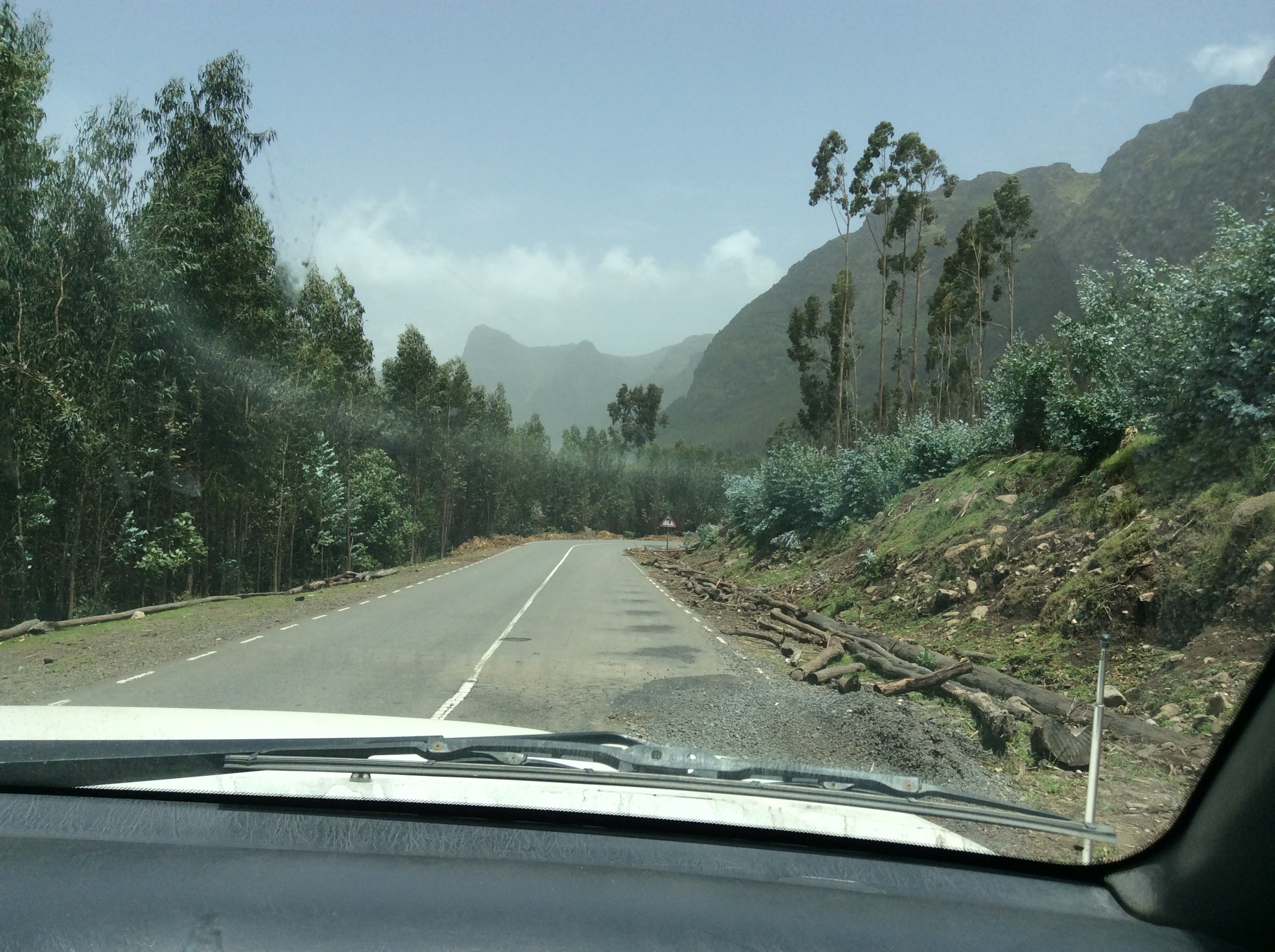
We dropped down on a winding mountain road through eucalyptus forests.  Eucalyptus is not native to Ethiopia, but grows everywhere there.  It is used as a basic material for building their houses, for scaffolding to build tall city buildings, for just about everything.  Several different species grew along the road.

IMG_0271

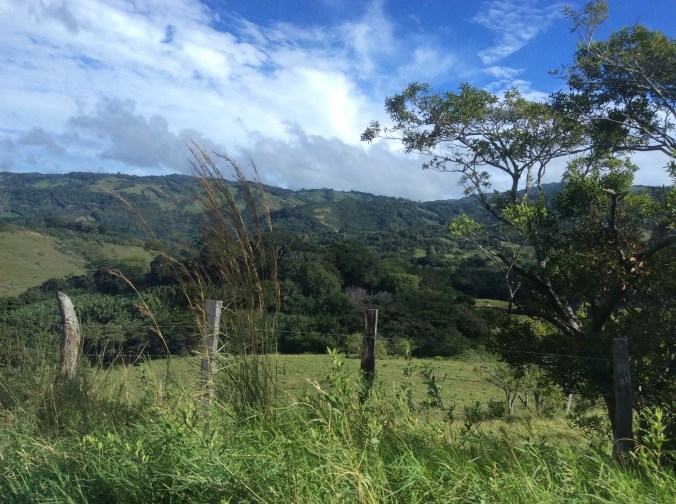
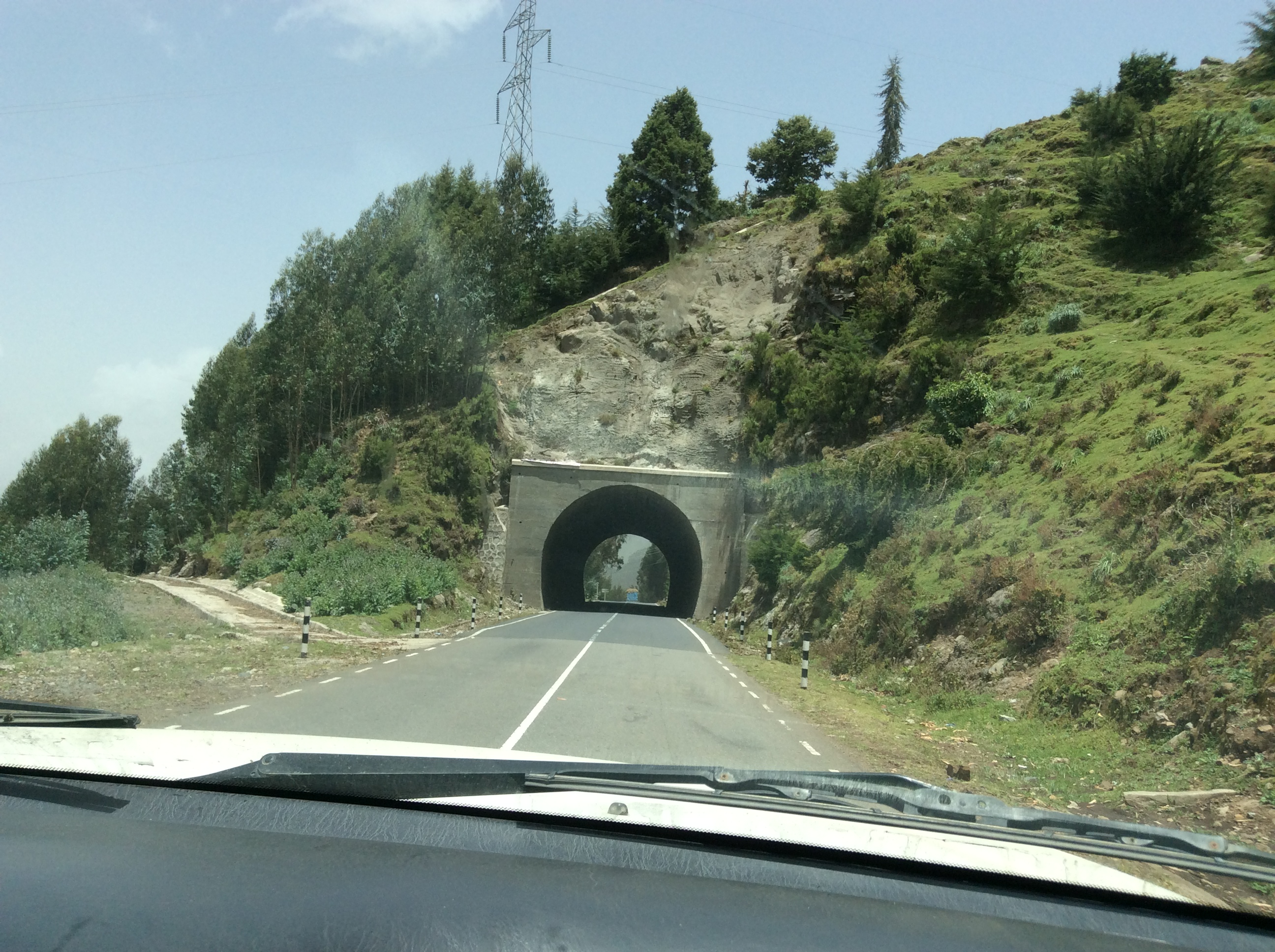
Ethiopia’s main highways are excellent.  Many were built years ago by the Italians, more recent ones by the Chinese.  Ethiopians make jokes about how long the Chinese roads might last.

IMG_0272

Eventually, we dropped down out of the mountains into an area that was much drier.

IMG_0276

A typical town with all sorts of shops right along the road.  When driving in Ethiopia, dodging people, cattle, camels, horses, burros, and goats is the norm. Everything it seems likes these good roads.

IMG_0279

A boy driving camels down the highway.  Loose animals, like the burro on the right, roam seemingly unattended.  I saw few fences.

IMG_0280

In the small towns in this semi arid area, we saw several totally veiled women, faces covered totally except for their eyes.  Alemu informed us that this was a new thing, not seen until the last few years.  He seemed to think it had become fashionable to copy Saudi women.

IMG_0281

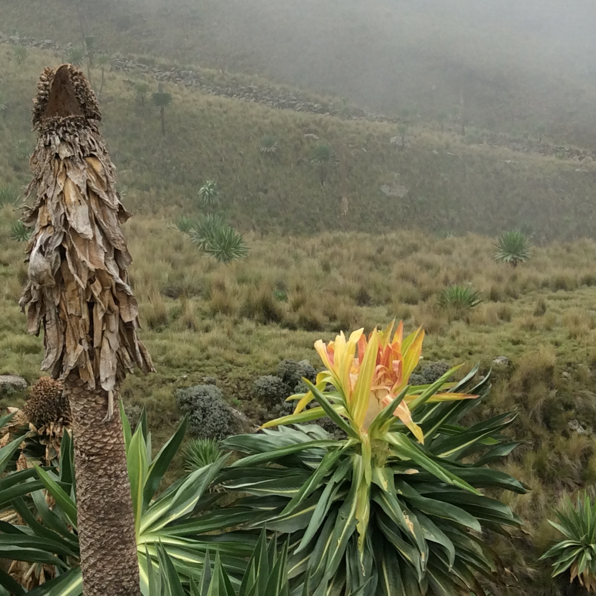
We stopped to look at certain plants beside the road.

IMG_0282

Dino recalled playing with these pretty green balls as a child with this forewarning,  “Do not eat them, do not touch your eyes or you will go blind.”  They are called the Apples of Sodom.

IMG_0284

At this juncture near the beginning of this adventure, I had not yet realized how everything in Ethiopia possesses symbolic meaning.

IMG_0285

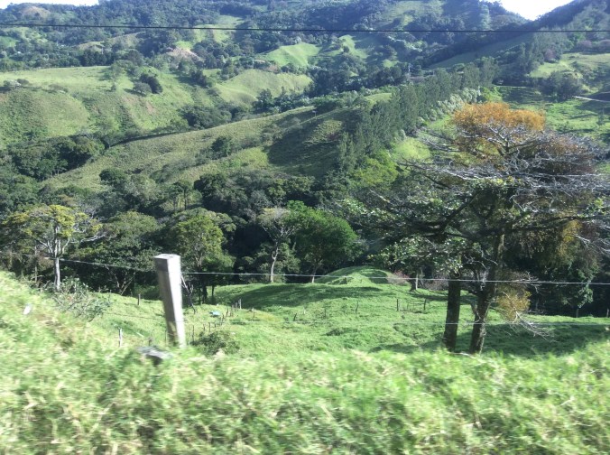
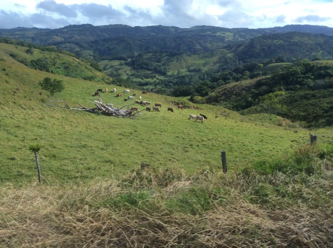
We drove along this immense, lush valley for miles.  Alemu said this huge herd of cattle belonged to a semi nomadic group who brought their cattle here during the rainy season to graze and fatten.  A bit farther down the road the land belonged to one of the richest men in Ethiopia, indeed the world, Al Amoudi.  It was the only place where I saw a tractor actually used in a field.

IMG_0288

Arriving in Kombolcha, we saw this new college in the process of creation.  This became a common sight–new buildings, new schools, construction everywhere.

IMG_0289

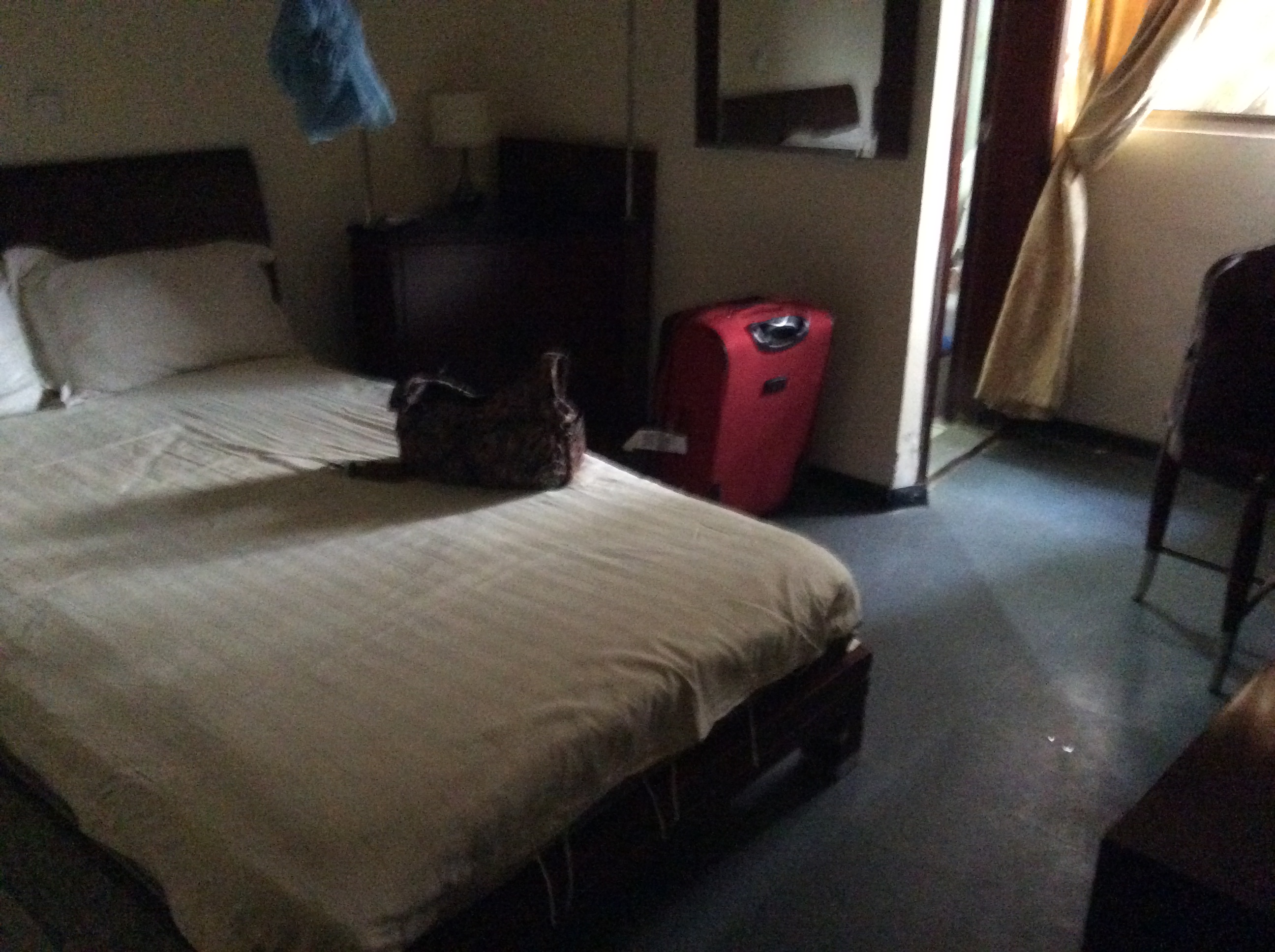
My first hotel room in Ethiopia at the Sunny Side Hotel in Kombolcha complete with mosquito netting–the blue blob above the bed.  At least it had a shower and toilet.  Many places use the style of accommodations one finds in a lot of Asia.  Forget toilets as you know them–just a tiled area with a hole in the ground and the ever present water with which to wash.  We carried our own toilet paper just in case.  However, many places had both so customers could choose.

Ethiopia–Lake Tana and the Blue Nile


I spent yesterday evening and today here in Bahir Dar, Ethiopia, looking at, riding across or around on Lake Tana and the Blue Nile.  The out flow of Lake Tana is the beginning of the Blue Nile, the world’s longest river.  I crossed the Nile three times today in a relatively small motor boat.  Due to a diversion of water for hydroelectric power, the Nile falls are only a fraction of what they used to be.  Fishermen still fish Lake Tana in boats made from papyrus, scarves are still woven on hand looms, and corn, beans, and sugar cane are cultivated by hand, The following photos were all taken today, including the exquisite gardens at the restaurant where we ate lunch.


imageimageimageimageimageimageimageimageimageimageimageimageimageimageimage
image

Rain


image


Early, in that land between wakefulness and dreams, it started to rain.  It rarely rains here in the morning; I thought I was dreaming.  Several hours later it is still raining.  Last night the weather forecaster said we are actually a little ahead of normal for the year, an unheard of event in recent years when endless drought reigned.  Because I am thinking none of  you who read my blog posts will believe it is really raining that much after reading numerous posts about drought, I decided to take some photos of the cloudiness and wet.


image


image


image


The following poem was written when it had not rained in a long time like this spring when it had not rained for months.  Now that is has started raining, it cannot seem to stop, certainly a better situation than several months ago when 50 houses in a nearby town burned down because of a giant wildfire.


It’s raining!  It’s raining!

It has not rained in more than a month.

I run out the door,

spreading my arms skyward.

I laugh out loud, dancing in the rain.

A smile smears joyfully across my face.

I run across the patio,

rain drops pelleting my face, my arms.

I laugh out loud, dancing in the rain.

My dog stands, rivulets of rain running off her.

Usually she hates rain.

Lightning explodes, thunder booms bass,

the steel roof plays staccato music.

I laugh out loud, dancing in the rain.

The Sixth Mass Extinction


Off and on the last month, I’ve posted about various issues on climate change and related topics.  Today, Life Science published an article entitled “Extinction Rates Soar to 1,000 Times Normal (But There’s Hope)”.  What causes this enormous spike?  You guessed it.  Humans.

Before recently, the extinction rate was one per every ten million annually.  Now it is 100-1000 every million.  Where do researchers and scientists find hope in this adverse increase?  Let’s look at Earth’s history for a moment before answering that question.  Since life began on our planet, five mass extinctions have occurred, leaving only half of living organisms each time.  Reasons for these extinctions vary from Earth’s shifting axis to asteroids–see previous posts related to effects of changes in the Earth’s axis.  The big question:  how do humans affect the current extinction?       Yes, we caused the demise of the passenger pigeon, the Tasmanian tiger, and the dodo bird.  And human poaching and habitat destruction now endanger elephants, rhinos, and all subspecies of tigers, among others.  One problem in accurately determining human effects is that new species are discovered annually so we are not even sure how many species currently exist.  Using what we do know about current species, DNA, and some rather sophisticated techniques, scientists come up extinction rates.

Where is the hope?  The most endangered species tend to range in small areas in poorer countries lacking resources to protect them.  Modern technology can help, using satellite imagery, biodiversity mapping, as well as other methods.  Drones have been used in Africa to track both animals and poachers.  We can focus efforts on the areas where the most endangered species live.

How can you help?  Become a citizen scientist.  Use your smartphone camera and report your findings to scientific conservation groups.  A site called iNaturalist allows ordinary individuals to upload photos of plants and animals, tagging date, location, etc.  This site links to an international organization that tracks endangered and threatened species.

What else can you do:  don’t buy anything with ivory in it, don’t buy anything with the fur or body parts of endangered animals.  Spread the word.  Become more informed, read articles and books related to these topics.  Care.  This is the only Earth; help save it.