Whitney Plantation Visit


Whitney Plantation resides on the River Road about one hours drive from New Orleans.  A recent visit there provided much enlightening information about the slave trade, crops grown near New Orleans, and the history of this area. Tours can be scheduled all days of the week except Tuesday.  It is unique in that many different types of plantation buildings still exist there, including old slave cabins, a foundry,  and the outside kitchen.

A German immigrant started the plantation in the late 1700s.  At Habitation Haydel, its original name, he grew indigo.  After his death, his youngest son converted the main crop grown to sugar cane, which is still grown there today.  Both indigo and sugar cane required intensive labor for profitability.

Although, according to population data, only ten blacks lived in Louisiana in 1712, by the end of the century slavery was the main source of labor.  In 1795, there were 19,926 slaves in Louisiana.  Under Spanish rule the slave population steadily increased.  Although many were imported from Haiti, those from Africa came from what are now the countries of Senegal, Bissau, and Guinea.  After the initial importation of slaves, the United States imported few compared to islands in the West Indies and Latin America, e.g. Brazil.  The preferred method in the United States to obtain slaves was breeding.  Women and men were forced to breed.  Their owners specifically chose certain people to produce certain types of progeny just like in breeding livestock.  One woman complained of having 16 children by 16 different men.
IMG_2729

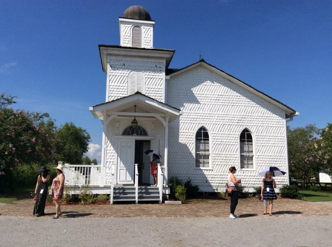
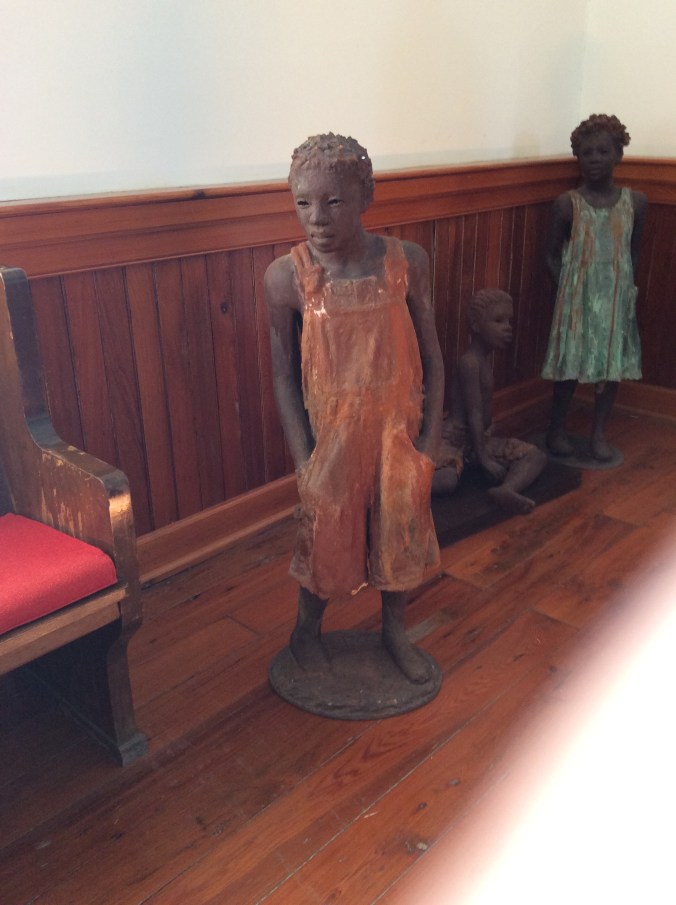
After leaving the visitor center, the first building on the tour is the church.  Inside the church are statues of various children who were the products of the breeding program at the plantation.
IMG_2728

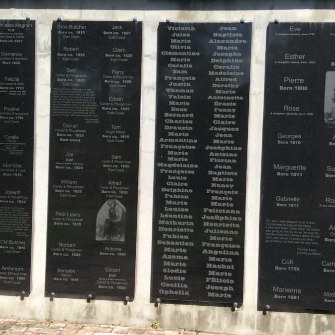
The artist created these statues from specific information about the children.  The plantation owners maintained detailed inventories of all slaves and their value.  This particular plantation often owned as many as 100 slaves.
IMG_2731

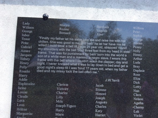
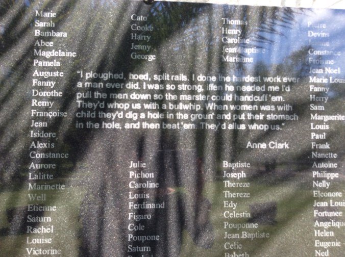
From this inventory a memorial has been created with the names of the slaves.  Included are various statements made by the slaves themselves as recorded in slave narratives.
IMG_2733

The above tells the story of a child fathered by his owner and one of the slave women and how his father treated him.
IMG_2734

Even pregnant women could not escape beatings.
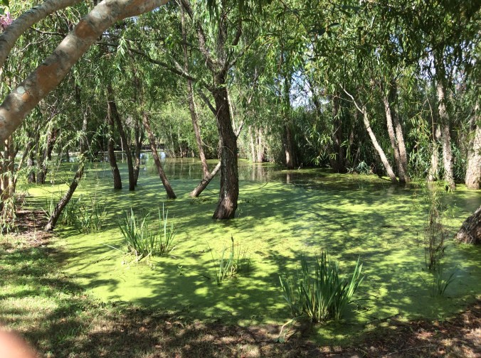
IMG_2735Because the area around New Orleans receives 60 inches of rain a year, the landscape everywhere is lush.  This is one of several pools at the plantation.
IMG_2736

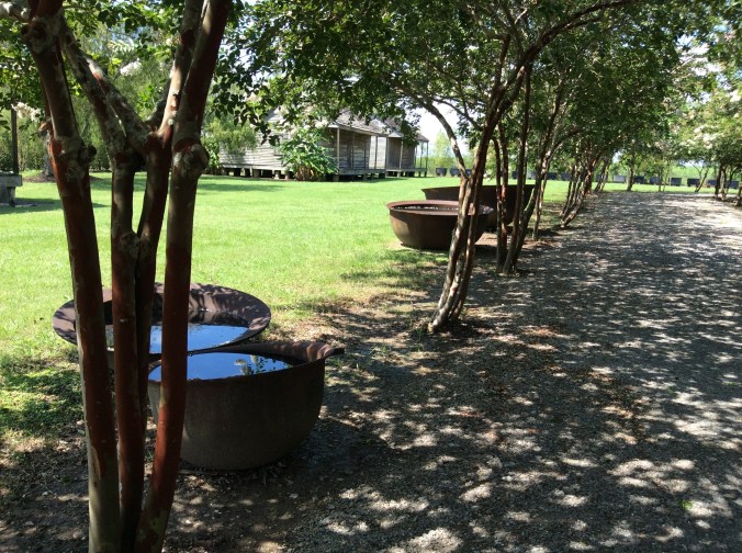
These containers cooked the sugar cane.  Starting with the largest, the cane was boiled repeatedly until it cooked down and poured into increasingly smaller containers.  This was especially dangerous work due to the fires, the heat, and the boiling sugar cane. Sugar cane production was much more dangerous than cotton which was grown farther north in Louisiana.  The cane itself was cut with large machetes and the edges of the cane are also sharp.  Many people were severely injured.  The life expectancy of a sugar cane slave who worked in the fields or cooking the cane was approximately ten years from the time he or she went to work, often as young as ten. Although field slaves had a much harder life in terms of labor, they had less exposure to their owners and their families and therefore, in some ways, more freedom to talk and interact. House slaves were constantly watched and the women especially subject to sexual abuse.
IMG_2737

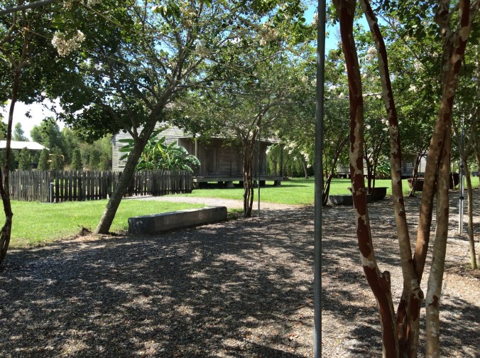
Slave cabins like this one contained four rooms.  Like the main plantation house, most buildings were built off the ground.  No levees existed then and the largest plantations were often built within sight of the Mississippi River and thus prone to flooding.
IMG_2738

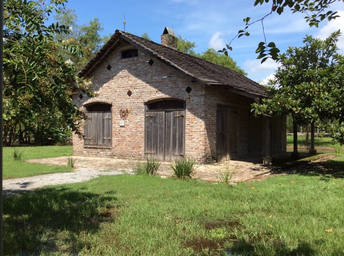
This building housed the foundry.  Skilled slaves, like blacksmiths, were very valuable and received better treatment, e.g. enough food.  When the movie, “Django Unchained” was filmed, part of the movie was filmed here because the adjoining plantation did not have a blacksmith shop.  The branding portion was filmed at Whitney Plantation.
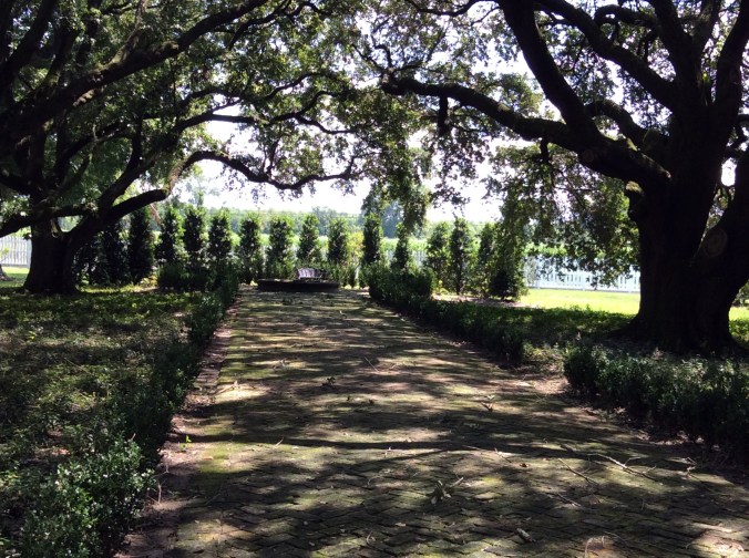
IMG_2741

The walkway, looking from the front of the main plantation house, is lined with giant oak trees.  Before the levees were built, the Mississippi River could be seen from the house.
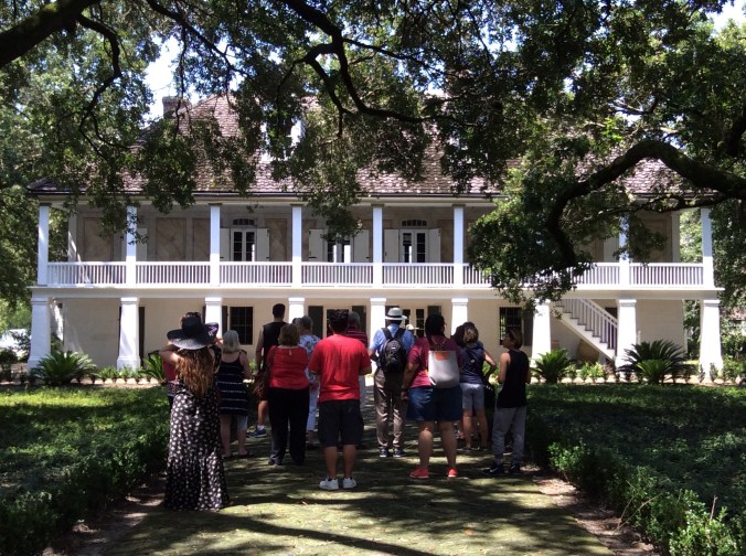
IMG_2742

Originally, there was no first floor due to the flooding.  Later, after it will built and used for dining, an office, and a living area, whenever the floods came, the slaves were required to carry everything to the second floor until the water subsided. Then they would clean the first floor of mud and debris and return the furniture there.  Whitney Plantation possesses some unique characteristics, e.g. finely painted European style ceilings.

Cooking was not done inside the main house at any of the plantations due to the heat and fire danger. The cook, another skilled and valuable slave, was required to know how to cook various popular cuisines typical of the area, e.g. creole, European–French, Spanish.
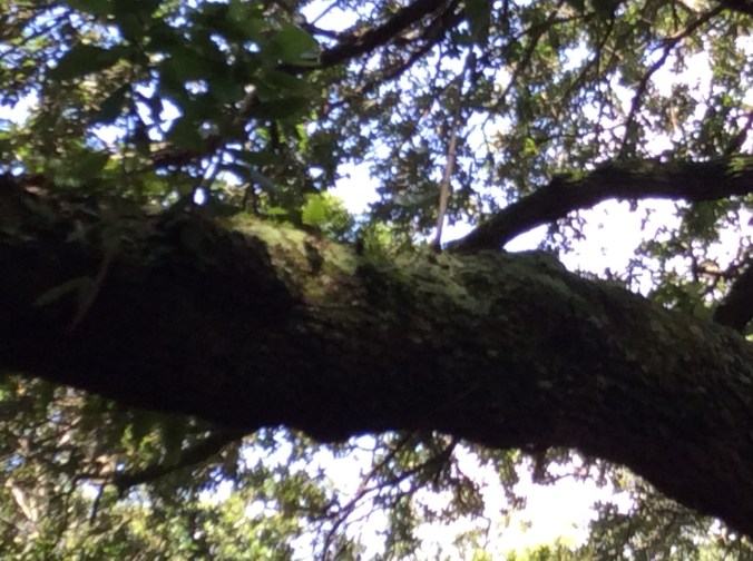
IMG_2743

The various ferns and mosses growing from the limb of this large oak trees demonstrates the lushness and humidity typical of this area and why it is still used for sugar cane production.
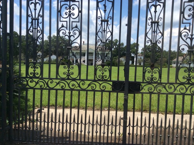
IMG_2744

A short distance down the road is Evergreen Plantation where the main portion of “Django Unchained” was filmed.  It, too, still produces sugar cane and a family lives here.  Tours are available as well.


A Tribute to My Dad, Doyle Lightle


Dad lived his entire life, 90 years, on the farm which my great grandfather, Gottlieb Werth, homesteaded in the middle 1800s.  Gottlieb Werth came to the United States from Switzerland when he was 18.  Even though Dad lived in the same place all his life, he liked road trips.  The first occurred when I was three.  He drove us all the way from Northwest Missouri to Monterey, Mexico.  I still have photos of us wading in the Gulf in Texas before we crossed into Mexico.  Thereafter, we almost never missed at least one road trip a year between wheat harvest and the start of school.  Sometimes instead of a summer trip we took one around Christmas, like the year we went to Florida when I was in elementary school.  I skipped school a couple of weeks, took my work along, and came home ahead because the flu, which I missed, put everything behind.

By the time I was six, I had probably covered half the continental United States and, of course, been to Mexico.  I do not remember some of those first trips but the later ones I remember well, like the summer we spent in Crested Butte, Colorado, when it was still a mining town, and another in Placerville, Colorado, down the road from Telluride.  Then it was just a nowhere place, filled with the Victorian houses of its mining heyday.  Dad joked later that he should have bought one of those houses when it was cheap.

One year, the year between my junior and senior year in high school, we took a one month trip and drove 6,000 miles, from home to the Black Hills, where we had relatives, to Vancouver, to Vancouver Island and then to Victoria.  We visited every national park along the way,  Grand Tetons, Yellowstone, Glacier, Olympic, then drove up the Columbia and cut back across Rocky Mountain National Park and through Colorado. On an earlier trip we went to every park in Utah and Northern Arizona and Mesa Verde.

Dad’s interest in and curiosity about everything seemed endless.  He tried the latest agricultural methods in his farming, was an avid conservationist, wanted to check everything out on these trips, talked to people about what they were doing.  At home he read National Geographic and Scientific American and endless books.

Because of these trips, his sense of wonder, his propensity for intellectual activity, my friends in college were always shocked to find out he was a farmer.  They often thought, originally, that he was a college professor.

He moved into this house where I grew up when he was ten.  After Mom died, Dad and I were at her grave on Memorial Day when a man came up and starting talking with Dad.  I learned that the building in the foreground of this photo, before it was used for livestock and storage, was used for dancing during the Depression. The sheriff would send out deputies to make sure no illegal alcohol was consumed. I took this photo four years ago when I took a trip back.

12193406_10204105678156113_6043720938154804167_n

There used to be woods to the right of this photo but someone bought the land and bulldozed down all the huge oak trees.  The tall douglas fir tree in the middle was tiny when we brought it home on one of our trips out West.

I will forever be thankful to Dad for instilling in me a love of exploration, wonder, and curiosity.


Top predators like wolves, bears, lions and tigers have declined dramatically around the world over the past century


Some parts of Eastern Europe have worked at figuring out how to balance saving predators and protecting farmers and herders. Spain has programs to reimburse herders.

Rachel Tilseth's avatarThe Red Cedar Watershed Ledger

Conservationists widen toolkit for predator management

Source:Berkeley News
By Brett Israel, 12/13/16

Top predators like wolves, bears, lions and tigers have declined dramatically around the world over the past century. One major driver of these declines is retaliatory killing by people following predator attacks on domestic livestock. This lethal approach to predator management is increasingly controversial not only because of ethical concerns, but also the role predators can play in healthy ecosystems. A new UC Berkeley study shows that many non-lethal methods of predator control can be highly effective in protecting livestock from predators and in turn, saving predators from people.
A tiger drags a cow at Jennie Miller’s study site in India

The Berkeley study examined 66 published, peer-reviewed research papers that measured how four categories of lethal and non-lethal mitigation techniques — preventive livestock husbandry, predator deterrents, predator removal, and indirect management of land or wild prey…

View original post 752 more words

Seed Banks–the Genetic Future


IMG_0877

Most of us think minimally about our food, where it comes from, the seed.  With a rapidly growing world population the genetic diversity of the seed from which we grow food becomes increasingly crucial.

The United States contains 20 gene banks:  three in California, one in each of the following states, Oregon, Washington, Idaho, Colorado, Hawaii, Texas, Iowa, Arkansas, Illinois, Wisconsin, Georgia, Ohio, New York, Maryland, Florida, and Puerto Rico and Washington D.C.  This system holds about 600,000 varieties.  The seed bank in Ames, Iowa, contains 53,000 genetic lines of maize (corn) and other crop seeds–1400 species.  The Illinois bank grows more than 2000 varieties of seeds per year.

Maintaining genetic integrity can be difficult.  Some crops like corn are particularly difficult because corn easily cross pollinates.  Researchers use these seeds to develop certain types of new varieties, e.g. varieties more resistant to disease, to drought.

Gene banks remain crucial to the future of agriculture and food even with the current controversies over GMO.  Some farmers note that any hybrid whether deliberate or by accident is genetically modified.  These modifications have existed since the beginning of agriculture.

A possibly more dire issue is the lack of wild relatives of key crops.  Global gene banks lack many of these.  The online journal, “Nature Plants” notes 1076 wild relatives of 81 crops were insufficiently safe-guarded.  Up to 300 species could not be located in any gene bank.  The lack of tropical crops in gene banks is particularly worrisome.  This is important for the future of agriculture and the world food supply.  Seed banks create safety nets for the future.

Perhaps the most remote and “safe” bank lies in Norway 800 miles from the North Pole.  The Svalbard Global Seed Vault can store seed for 25 years without power.  This vault stores seeds at -18 C and contains 825,000 crop varieties.


Note:  the photo is corn close to the Nile Falls near Bahir Dahr, Ethiopia


Making a Difference: Kiva Loans


To honor the death of a best friend’s father, I did as she asked, made a Kiva loan.  After looking through dozens of potential individuals and groups, I loaned 100 dollars to a group of women in the Democratic Republic of Congo to help fund their poultry raising operation.  Even though it has been less than six months, they have paid back more than half, paid on time regularly.

Some loan opportunities require even less money.  People often think their efforts don’t count, they are too small to make a difference.  Everything each person does makes a difference for better or worse.  Make a difference, act, speak out, contribute however you can to make our world a better place for all of us.

The Haunting of the Mexican Border


If you have any interest whatsoever as to how times have changed along the border, the culture of the people of Sonora and Chihuahua, this is a must read. I need to go visit my friends who live there.

Dawn Wink's avatarDawn Wink: Dewdrops

Cowboy and flowers on grave © Cowboy and flowers on grave © Tim Fuller

coverThe Haunting of the Mexican Border

I had no idea the blessing I was about to receive when I was asked to review The Haunting of the Mexican Border: A Woman’s Journey by Kathryn Ferguson for Story Circle Book Reviews. I said yes, since how could I possible resist that title? I spent the next few weeks savoring the experiences, ideas, and prose of this book. This is not a book that I read fast. I found myself re-reading sentences for the sheer beauty of the prose and scenes for the powerful experiences conveyed.

Mostly, I was taken with the melding of past and present, as my own experiences growing up on a ranch along the San Pedro River, a vein for Mexican migrants coming to the US, sent me reeling between the intimate familiarity of the rhythms of migration in this region…

View original post 2,156 more words

Costa Rica Adventure, Day Five–Part Two: Santa Anita Rainforest Ranch


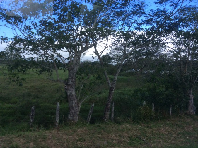
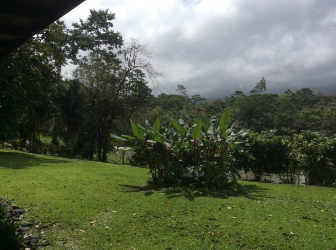
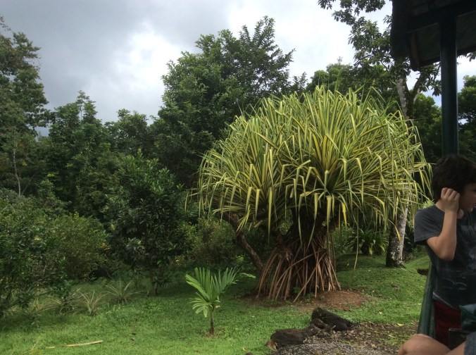
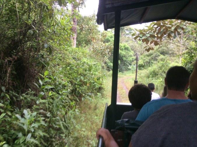
After visiting the Tony’s gallery, we headed north on mostly non-paved, narrow roads.  The clouds increased; the landscape became greener if that is possible.  We crossed to the Caribbean side near the Nicaraguan border.

IMG_2001

IMG_2007

IMG_2008

IMG_2014

The previous photos were taken from the bus window on the way to La Anita which is located more or less just above where the a is located in the word Cordillera at the top of the map.  It lies near Rincon de la Vieja National Park (Volcano Vieja) past Volcano Miravalles–the volcano covered in clouds in the previous Costa Rica post.

IMG_2010

As soon as we arrived, we came to the veranda of the building where they process cacao.  This view overlooks the road in and a small pond.

IMG_2012

Ginger plants in front of the pond, bouquets of ginger flowers, and rain clouds greeted us.

IMG_2011

I had no idea that the ginger roots we eat come from plants that look like this.  We later ate lunch in the building in the distance.  First, seated on picnic tables on the veranda, we drank pure chocolate grown on the ranch and coffee grown on another property at higher altitudes.  Cacao requires lots of rain and tropical heat.  This coffee is shade grown at much higher altitudes, e.g. 1500-2000 meters, by 700 families who belong to the cooperative which produces the coffee.  The coffee from here (Finca la Anita, Costa Rican Dota Mountain Coffee) requires much less sugar even for those who love lots of sugar in their coffee.

The couple who own and run La Anita primarily grow organic cacao.  Originally, they sold what they grew and did not process it there.  They decided to accomplish what they wanted, to grow and sell the most sustainable quality chocolate in the world, they would have to control the entire process themselves.  One of their specialties is a healthy replacement for Nutella, La Anita Chocolate Spread.  We bought four little containers and carried them around the rest of the trip.  Rather than spreading it on something, I keep it in the refrigerator and spoon out a tiny sco0p when I want a super treat.


IMG_2015

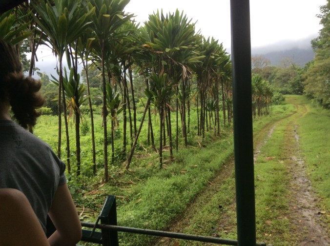
Nearly constant rain and heat produce a botanical heaven.

IMG_2016

A tractor pulled wagon took us through the lushness to the area with the cacao trees grow.

IMG_2017

IMG_2018

We finally arrived where the cacao grows.

IMG_2019

In addition to cacao, they grow other crops because cacao takes a long time to grow and the chocolate market worldwide is very unstable.

IMG_2020

Open up cacao and you find all this fuzzy stuff inside.  Yes, it is actually tasty.  Like with coffee, you eat–actually mostly just suck on it–the outside.  The bean is the seed inside.

IMG_2021

If you want to walk around here, sandals are not a good idea–too many snakes, many of which are poisonous like the fer-de-lance.  Yes, they live here.  Like where I live, this requires looking at the ground and paying attention where you are walking. This is the owner.  The name La Anita comes from his wife.IMG_2023

IMG_2024

The view of the lake from the building where we ate lunch.

IMG_2025

This is the hearts of palm plant which shortly after this photo was taken became the main ingredient of ceviche of hearts of palm which we ate for lunch.

IMG_2026

Making ceviche of hearts of palm in the white square bowl.

IMG_2028

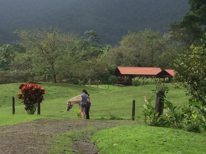
After lunch I walked down the road to the pasture with the horses.  In the background are cabins they rent.  From here the traveler can tour several national parks including Rincon de la Vieja National Park which is quite close.

This is one of the rainiest parts of Costa Rica, located on the northern Caribbean side.  It rained several times while we were here.  The rain stops for a while, a downpours arrives, it stops.  This process continually repeats.


My Ethiopian Adventure–on the Road to Lalibela, Part One


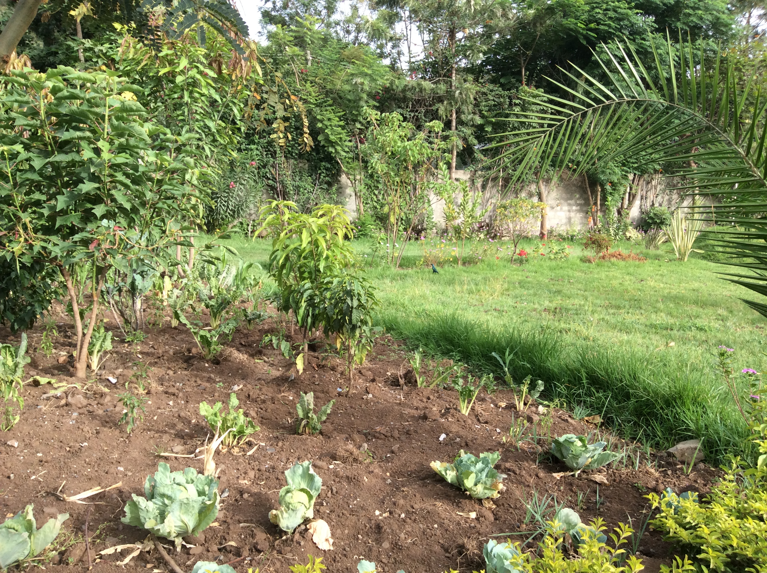
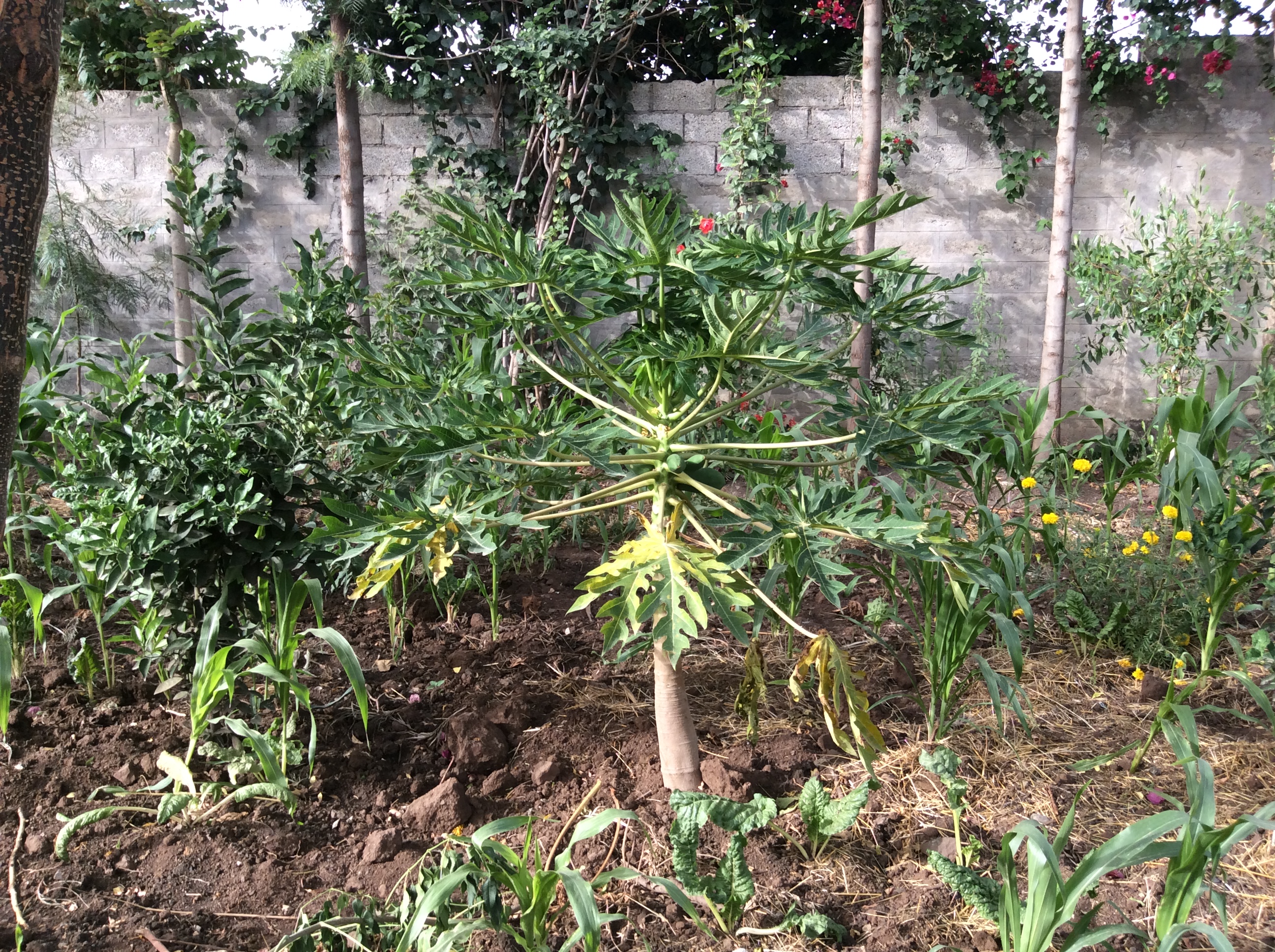
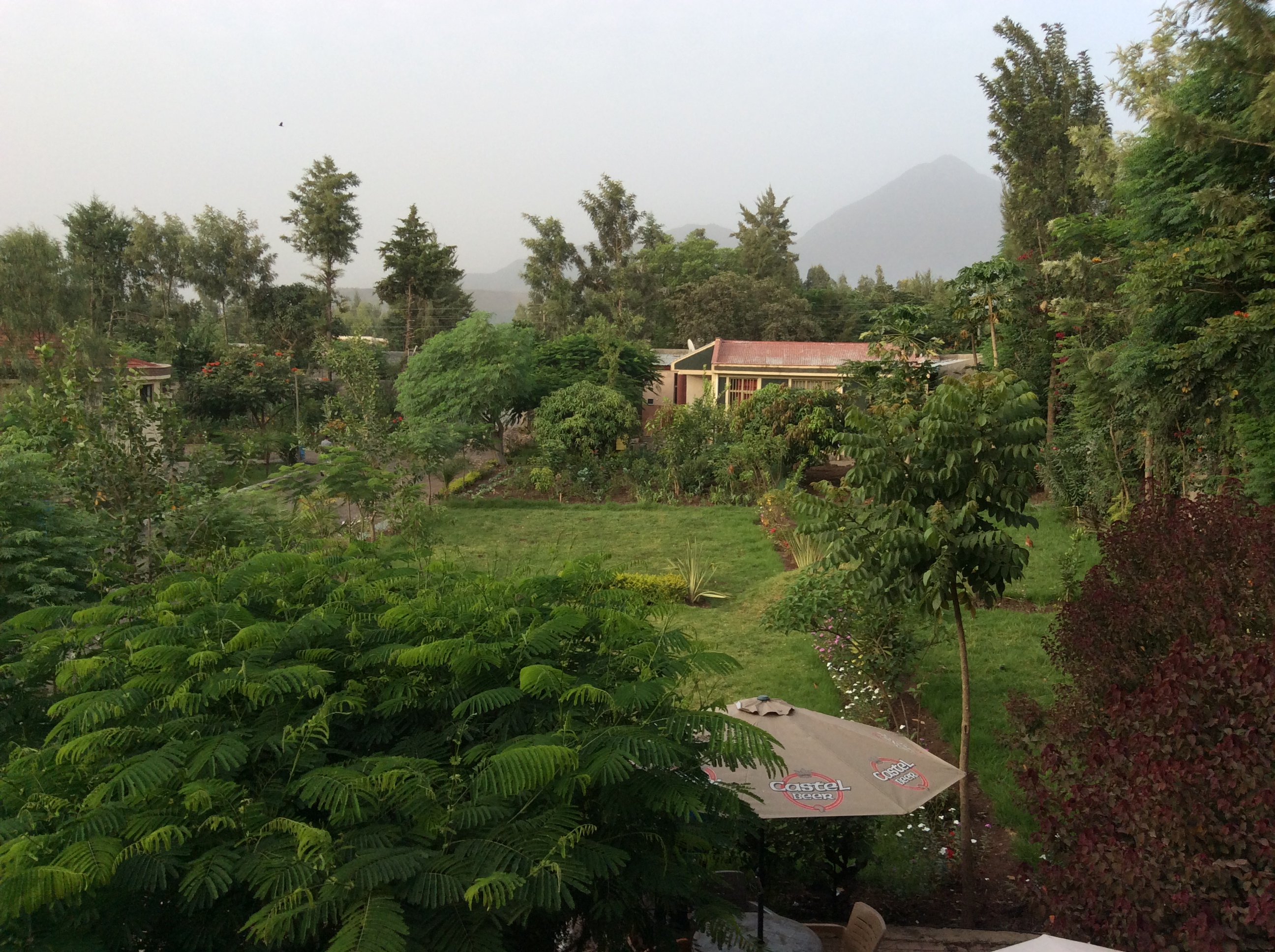
Although the Sunny Side Hotel’s rooms in Kombolcha seem elemental to say the least, the food there is some of the best I had in Ethiopia.  One of the reasons for this may be their extensive gardens which not only hold flowers, but vegetables and fruit trees.

IMG_0292

IMG_0294

That’s a papaya in the middle.

IMG_0296

IMG_0290

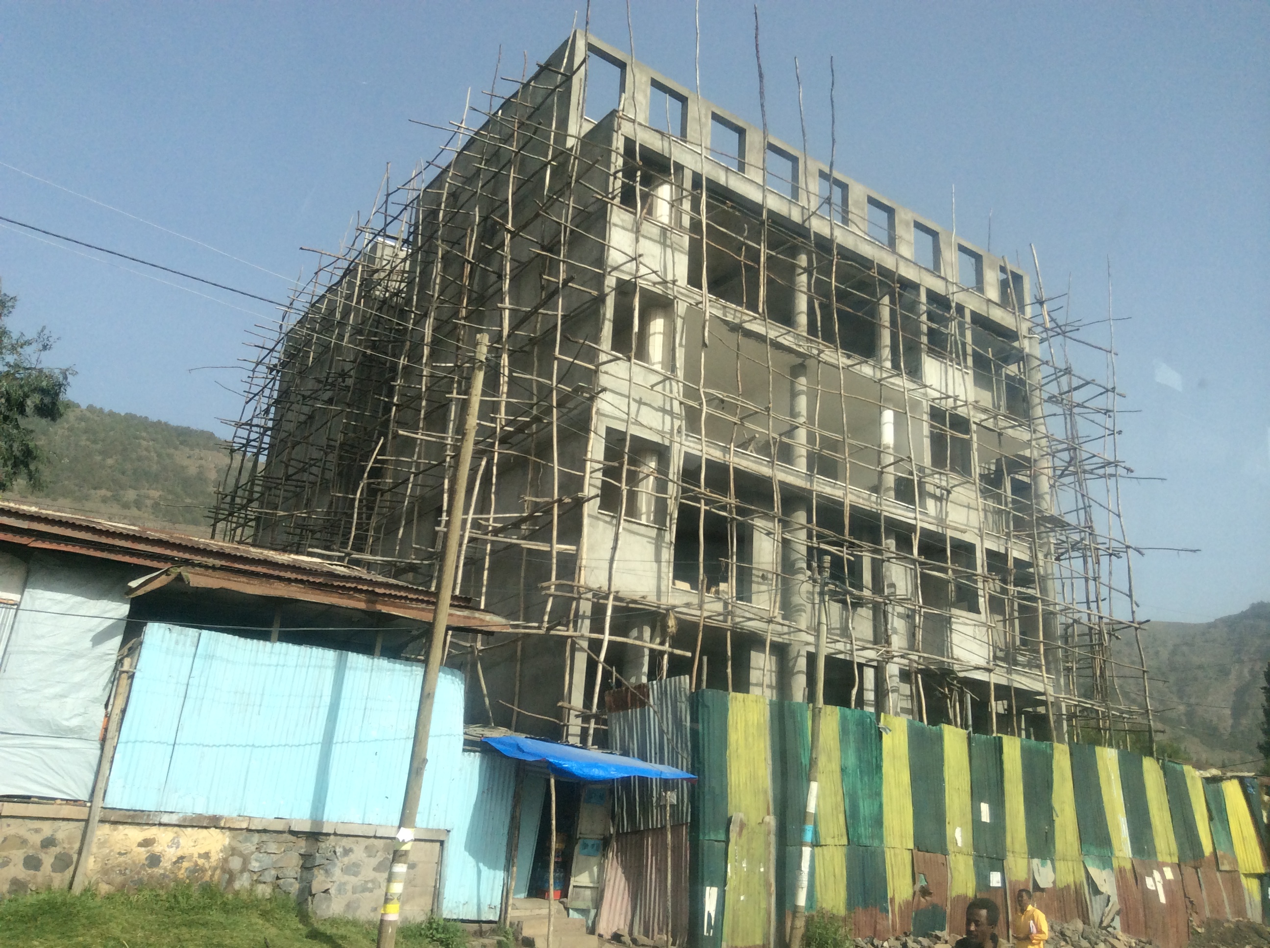
Dinner consisted of fresh talapia–Lake Tana is full of talapia and is a common item on menus, perfectly grilled, julienned vegetables sautéed in sunflower oil and seasoned with a sprig of rosemary.  The next morning we headed for Lalibela.  The first larger city through which we drove is Dese.  As in most Ethiopian cities, new construction could be seen everywhere.  They do not use steel for scaffolding.  They use eucalyptus as in this building.

IMG_0307

IMG_0305

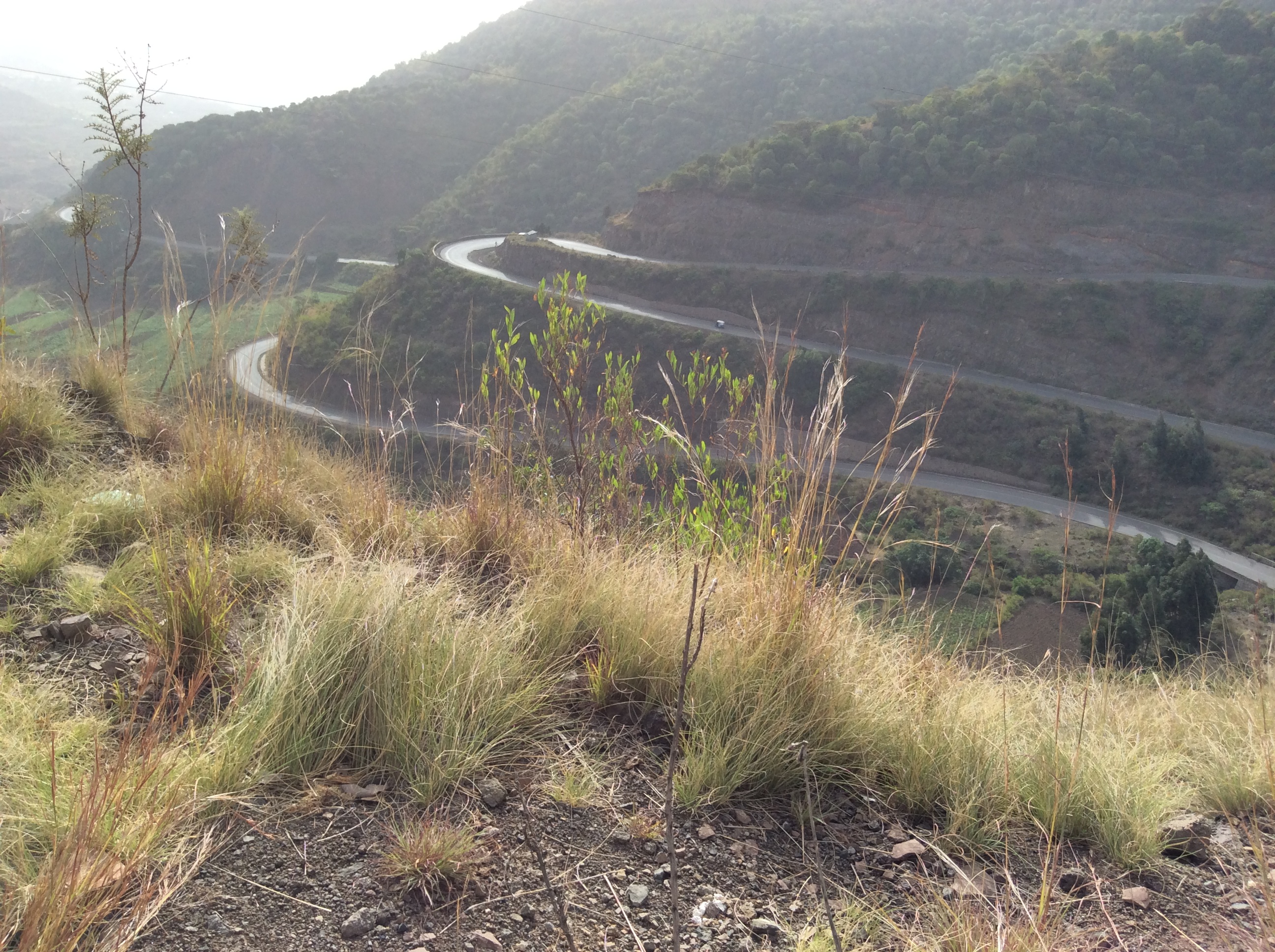
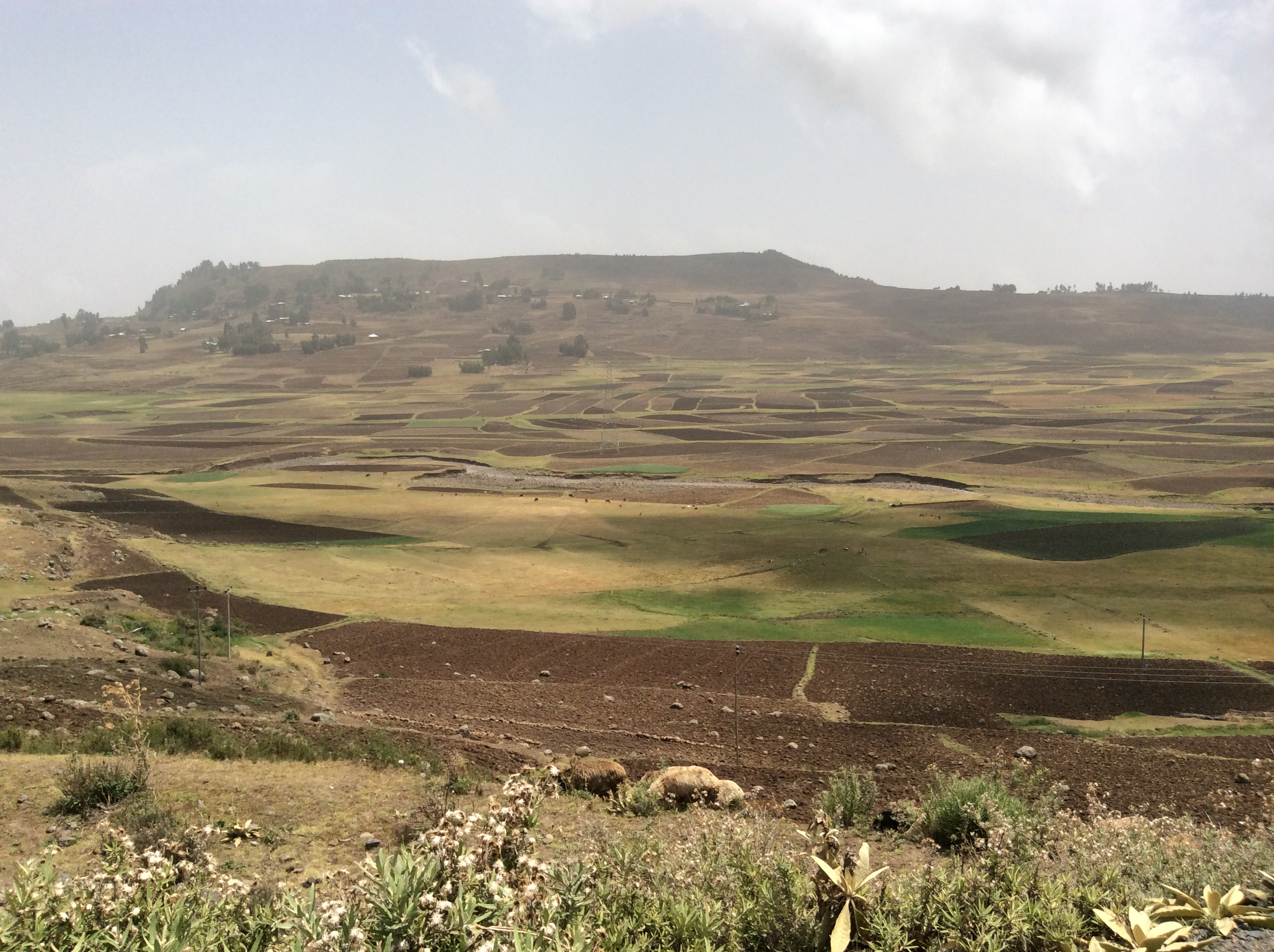
We continually climbed switched back roads.  Usually, terraced fields lay as far as we could see on the mountainsides.

IMG_0303

IMG_0301

IMG_0311

Not too far from Dese, we came to the smaller town of Hayk.  Hayk is the Amharic word for lake.  The town is named after this nearby lake.

image

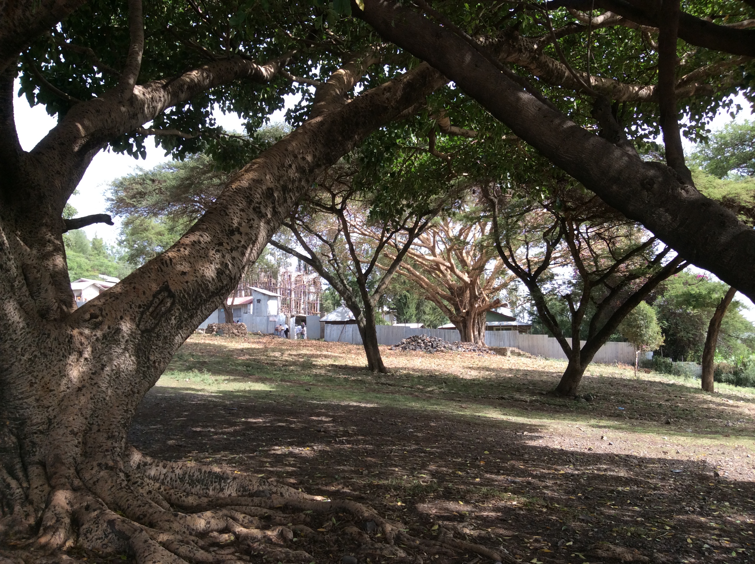
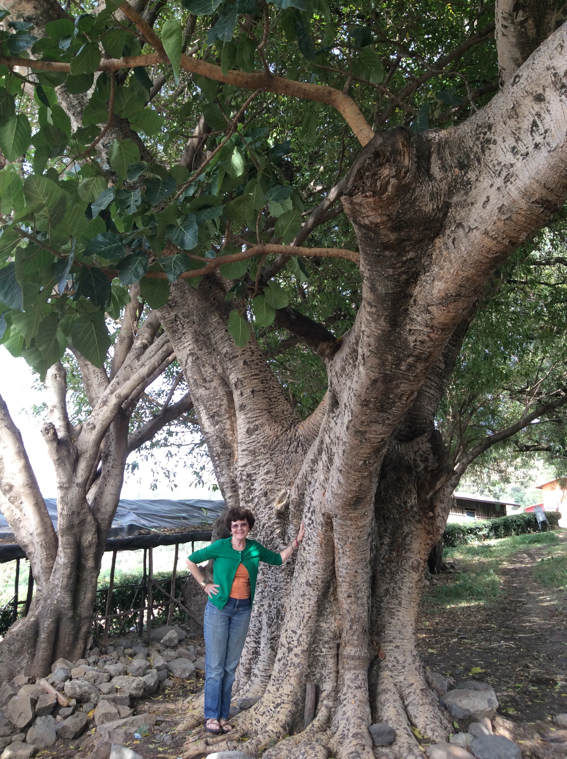
Seven species of acacia grow in Ethiopia.  These, higher in the mountains, appear considerably more lush than those farther south in semi arid places. You cannot swim in this lake because, like many bodies of water in Africa, the schistosomiasis parasite lives here.  There is a cure, but not very pleasant.  Huge fig trees and acacias provide a setting like one sees in movies.

IMG_0316

IMG_0317

IMG_0319

This monastery resides on a small peninsula that juts out into the lake.  The sign says no women allowed.  Foreign male visitors may enter for a fee–locals free. Lush fields surround the lake.

IMG_0314

IMG_0322

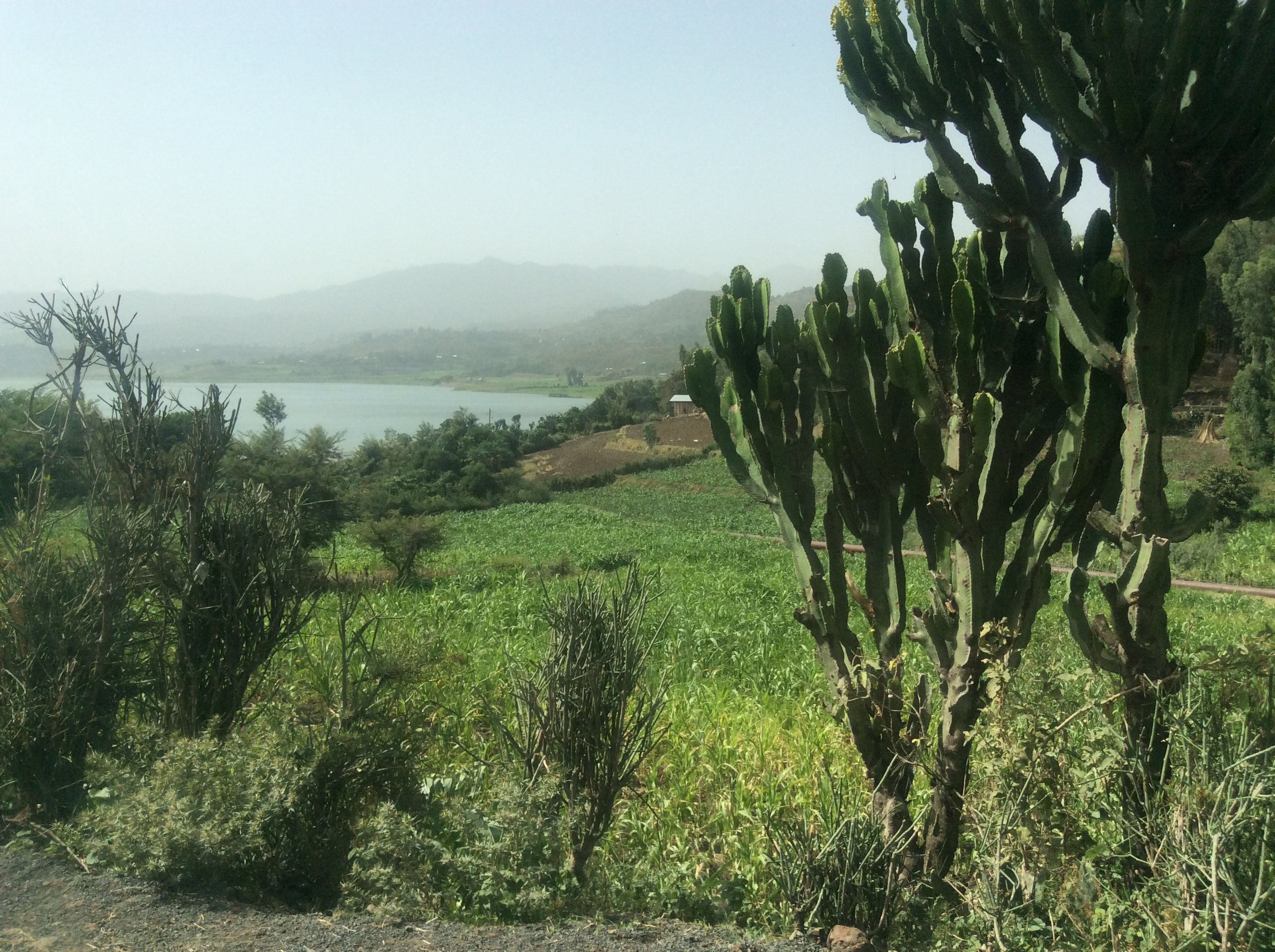
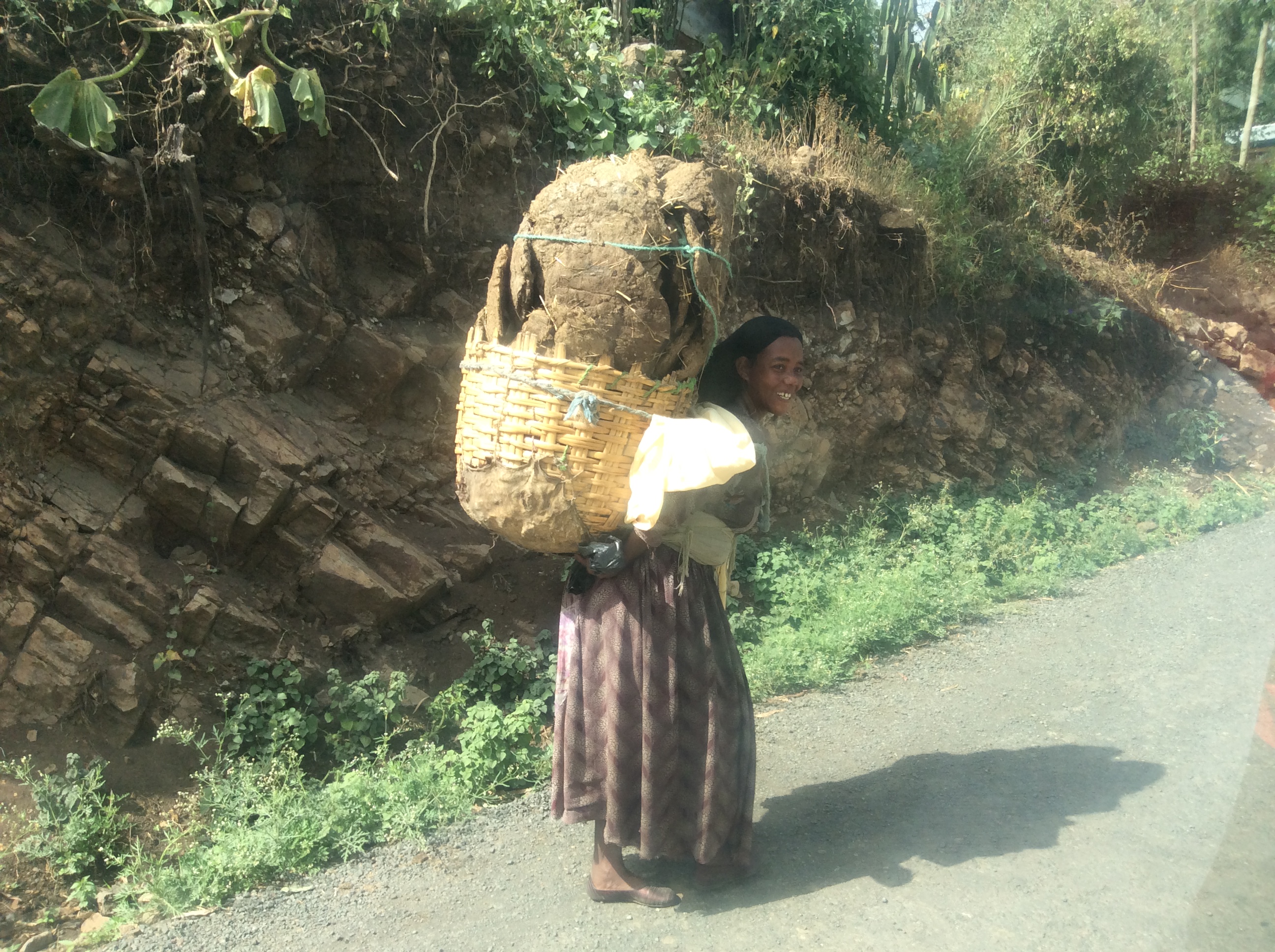
Yes, that is cactus on the right–not exactly a place I expected to see cactus.  On the road out of the lake, we saw this girl walking and asked to take her photo.  She is carrying dried dung.  Houses are first framed in eucalyptus and then plastered with a mixture of dung and mud or just mud.  Sometimes they are left the natural dark brown color.  Some home owners prefer to paint them bright colors.

IMG_0324

IMG_0331

This is a typical house in most areas left unpainted with a metal roof.  Everywhere people worked the fields the “old” way with a beautiful result.

IMG_0327

IMG_0328

We passed villages and towns of all sizes.

IMG_0330

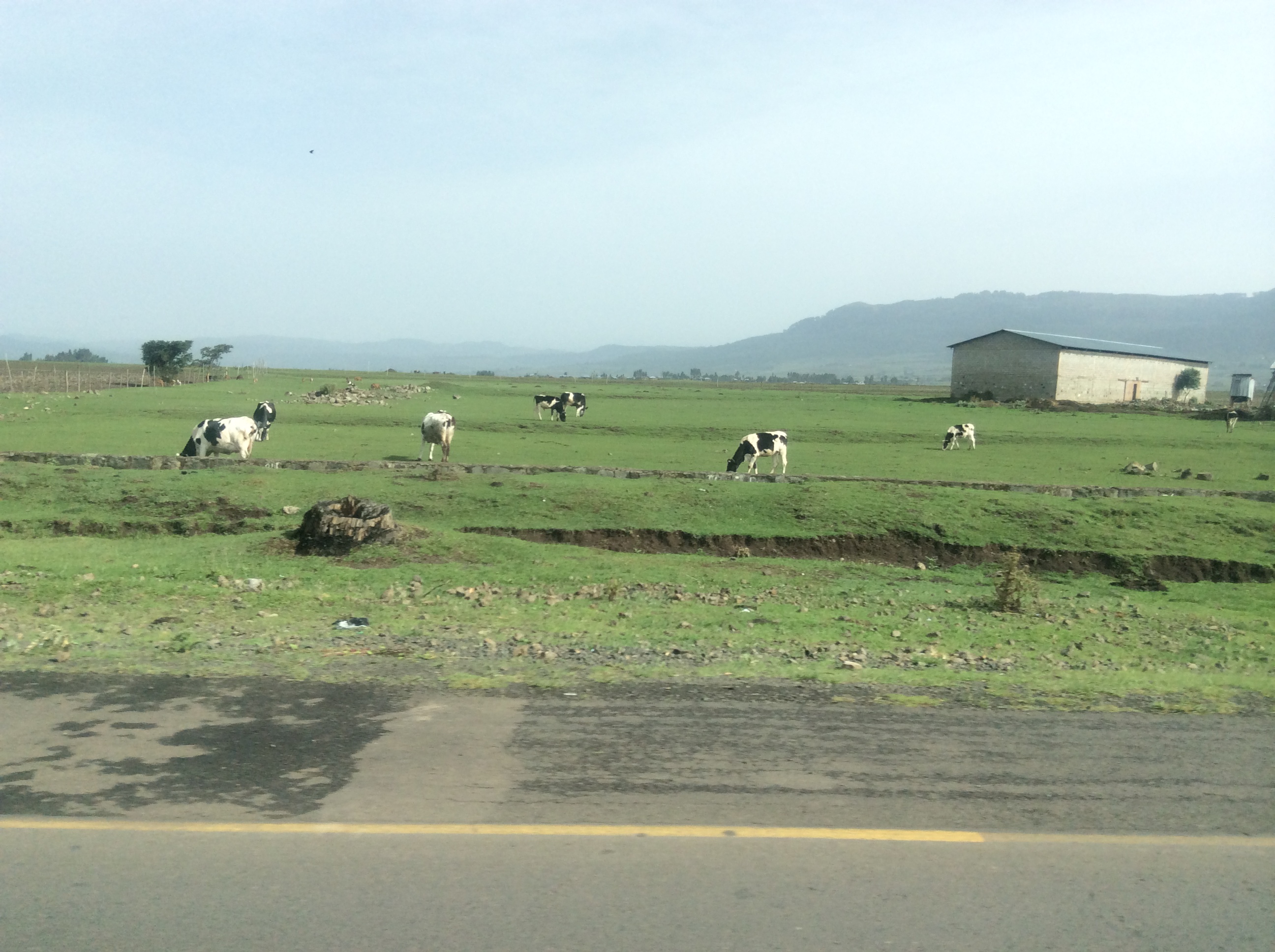
And always children as well as adults drove animals along the road.

IMG_0335

IMG_0336

IMG_0343

Eighty languages are spoken in Ethiopia.  Some, like Amharic and Oromo, are spoken my millions, others by only a particular small tribe. Everywhere we went people knew Amharic, an Afro-Asian, Semitic language (like Arabic and Hebrew) which originates in the ancient language of Geez, a language now only used as the sacred language of the Ethiopian Orthodox Church.  English is taught in elementary school, which is compulsory through the eighth grade.  Because of too many students and too few schools and teachers, especially in rural areas, school is half a day.  One group goes in the morning and another in the afternoon.

My Ethiopian Adventure–from Addis to Kombolcha


Saying goodbye to Addis at 8 in the morning, we headed northeast and later north toward Kombolcha–spelling differs, depending on whose map you view.  The official Ethiopian map spells the town as Kombolch.  Addis is high, the second highest capital in the world.  We drove northeast all morning across rivers and through green fields.

IMG_0246

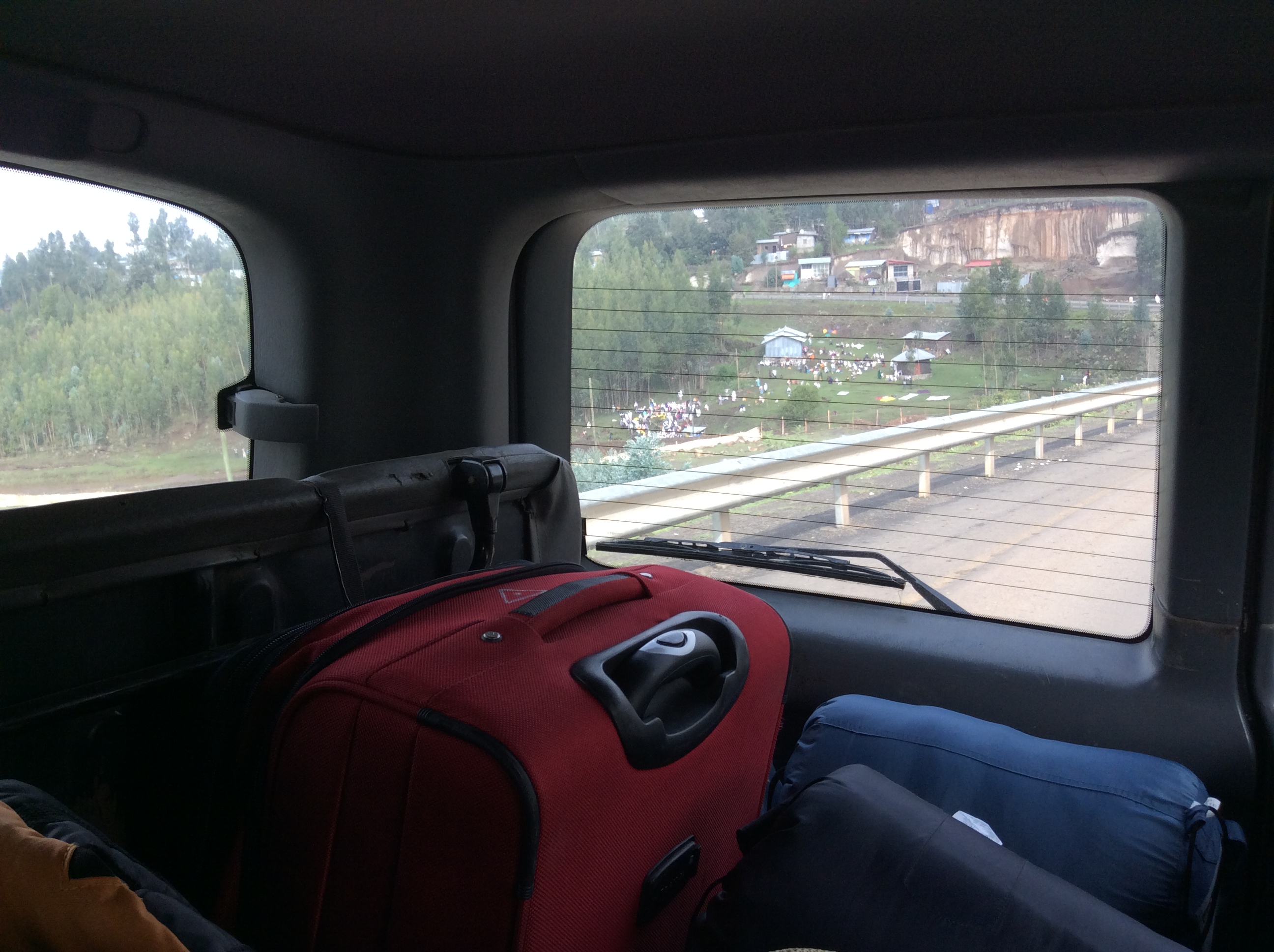
Not far outside Addis we saw this scene, a river with many people near it.  Our driver, Alemu explained this river contains holy, healing water and all those people you see through the window are pilgrims coming to be blessed by the resident priest and hopefully healed by the river waters.

IMG_0249

Who would know this is Ethiopia if no one told you? Not what I expected at all honestly.

IMG_0248

IMG_0250

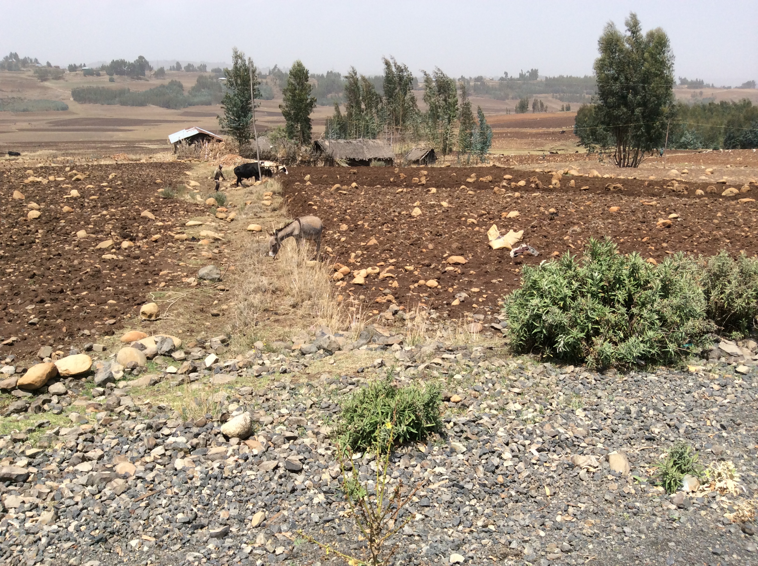
Most of the farmland is very rocky.  Farmers gather rocks, in some places make fences out of them or just pile them up.  Even with these efforts fields remain full of rocks.

IMG_0251

We drove for hours through this type of farmland.

IMG_0257

This is a typical country village which appeared off and on continuously along the highway.  Traditional buildings are usually round with thatched roofs.  More and more people have begun to use metal roofs which forces the building shape to rectangular rather than round.  We heard a story about a thatched roof house that caught on fire.  Nothing but the thatch burned because underneath the thatch was a meter of mud.

IMG_0258

Most Ethiopian farming is done the old way:  either horses or cattle pull the plow with a man guiding it usually through a lot of rocks.  I commented about seeing no tractors so then every time we saw one everyone shouted, “Juliana, there’s a tractor.”  I think I saw only five of them in ten days and only one was actually working in a field.  It became obvious rather quickly how totally impractical a tractor and its equipment would be in much of the farmland:  too many rocks and as you will soon see, too steep.  The tractor would fall over.

IMG_0261

Eventually we started climbing higher and higher.  To the left was one of Ethiopia’s high peaks near or over 4000 meters–13 to 14 thousand feet.

IMG_0262

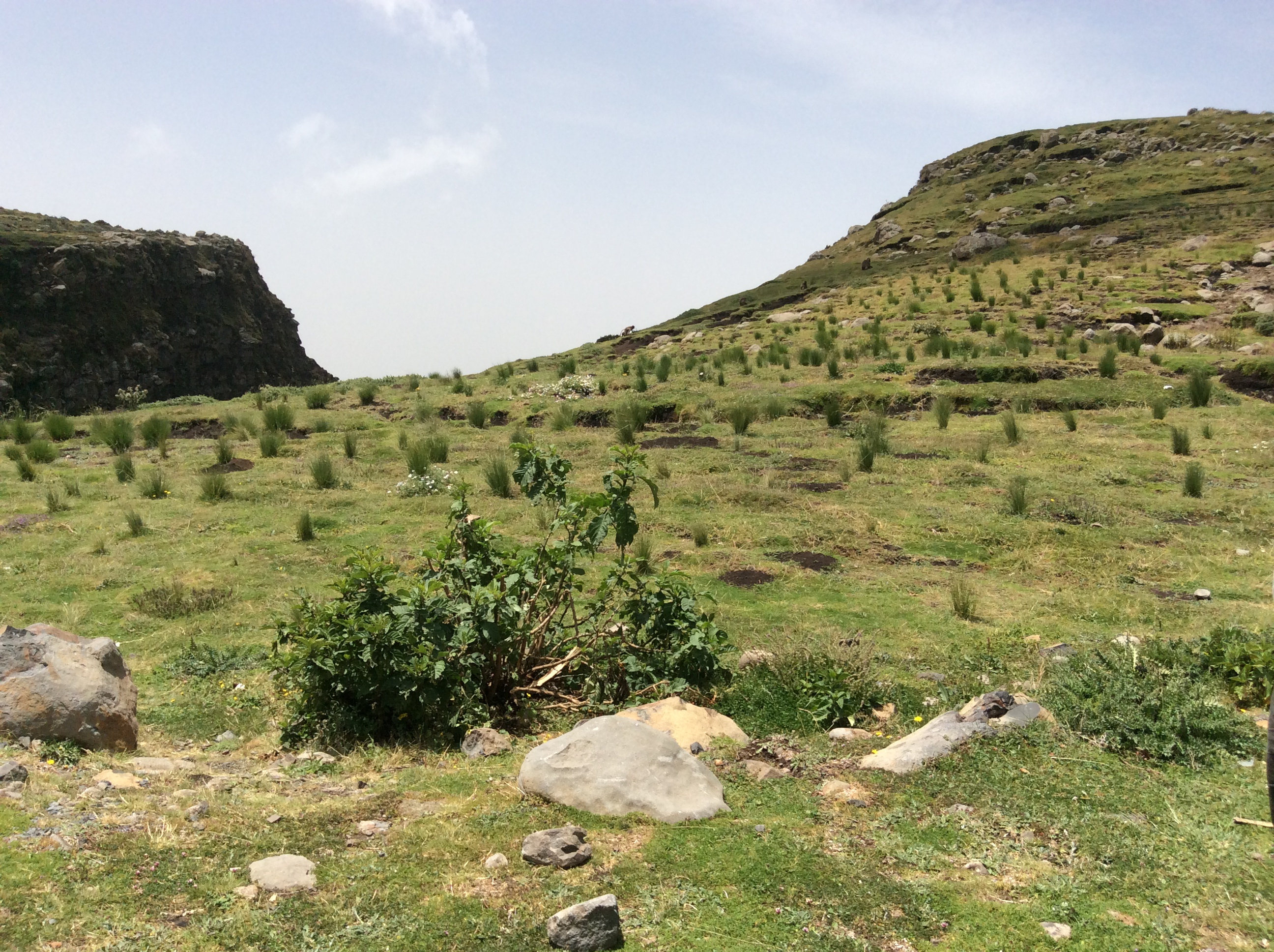
And then, there it was, Menelik’s Window.  This was the first area we saw with numerous gelada baboons.  However, these ran away unlike the ones later in Simien National Park.

IMG_0266

That’s Dino down on the edge.  At this point in the trip, I was still quite horrified by all the steep cliffs and stayed way back.  He was trying to get a good photo of the baboons.  Menelik II, the last Ethiopia leader to be able to claim himself as a direct male descendant of King Solomon, found this place special, a view into the real Ethiopia across miles of mountains. He is known for defeating the Italian invaders, expanding the kingdom, and especially for modernizing Ethiopia.

IMG_0267

My grandson now owns this hat.  This boy and his friends spend their days chasing the baboons away from the tufts of grass, which their families use to make the thatched roofs, and making hats for sale.

IMG_0264

You can see the selection of different styles of hats on display on the grass.  On the mountainside in the back lots of herbs grew, including thyme.  The boys also sold packets of herbs they had gathered and dried.

IMG_0268

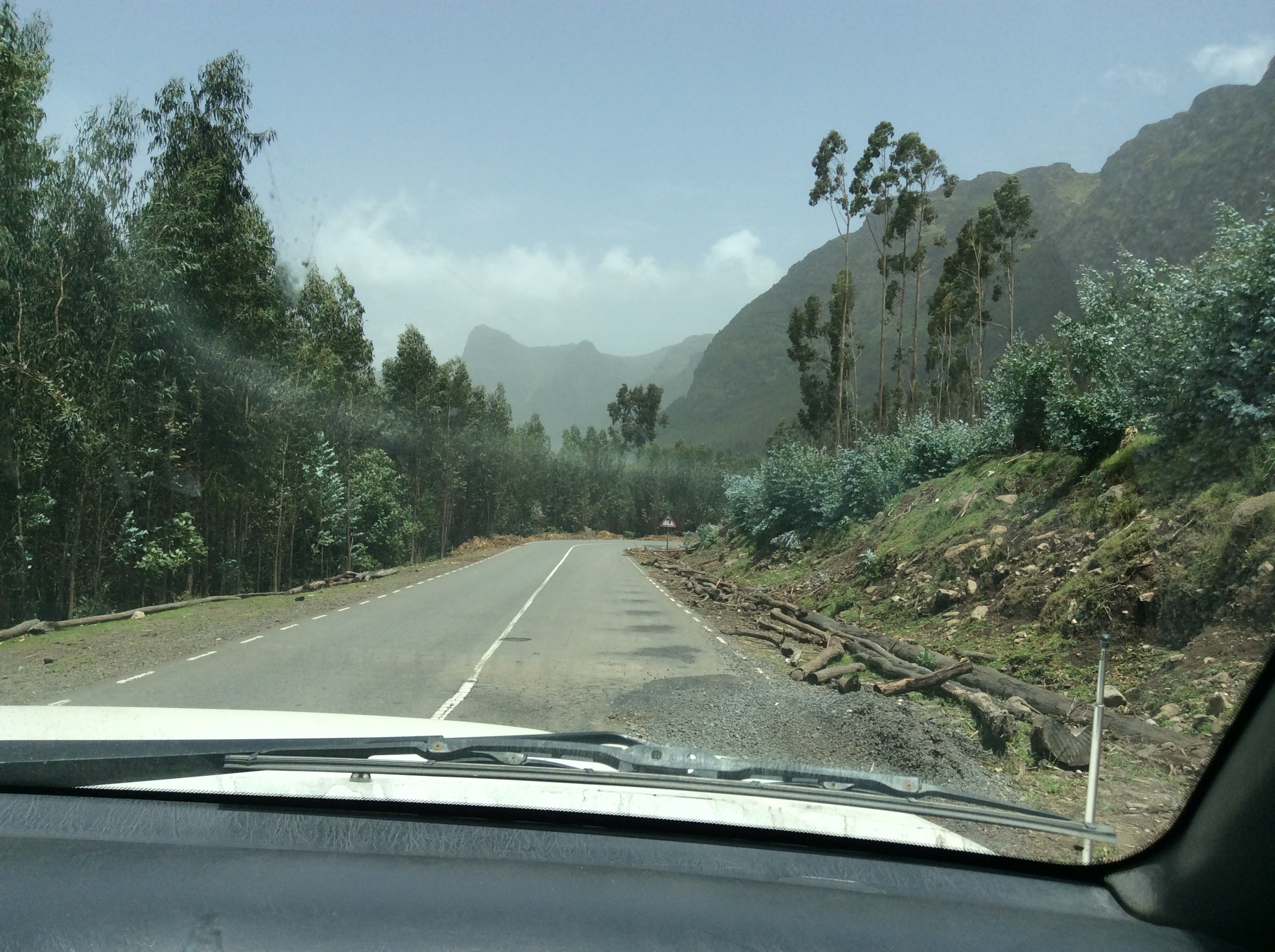
We dropped down on a winding mountain road through eucalyptus forests.  Eucalyptus is not native to Ethiopia, but grows everywhere there.  It is used as a basic material for building their houses, for scaffolding to build tall city buildings, for just about everything.  Several different species grew along the road.

IMG_0271

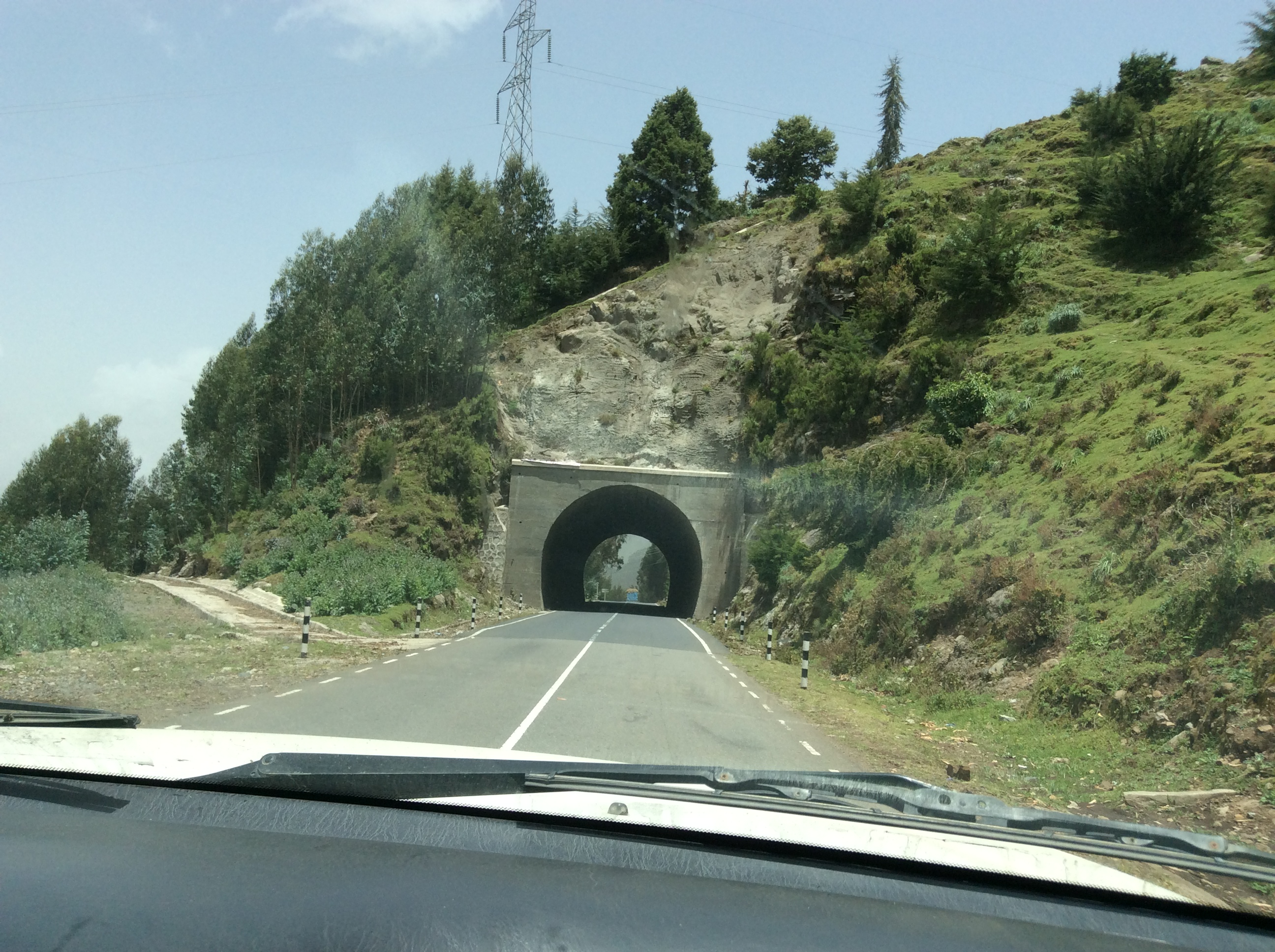
Ethiopia’s main highways are excellent.  Many were built years ago by the Italians, more recent ones by the Chinese.  Ethiopians make jokes about how long the Chinese roads might last.

IMG_0272

Eventually, we dropped down out of the mountains into an area that was much drier.

IMG_0276

A typical town with all sorts of shops right along the road.  When driving in Ethiopia, dodging people, cattle, camels, horses, burros, and goats is the norm. Everything it seems likes these good roads.

IMG_0279

A boy driving camels down the highway.  Loose animals, like the burro on the right, roam seemingly unattended.  I saw few fences.

IMG_0280

In the small towns in this semi arid area, we saw several totally veiled women, faces covered totally except for their eyes.  Alemu informed us that this was a new thing, not seen until the last few years.  He seemed to think it had become fashionable to copy Saudi women.

IMG_0281

We stopped to look at certain plants beside the road.

IMG_0282

Dino recalled playing with these pretty green balls as a child with this forewarning,  “Do not eat them, do not touch your eyes or you will go blind.”  They are called the Apples of Sodom.

IMG_0284

At this juncture near the beginning of this adventure, I had not yet realized how everything in Ethiopia possesses symbolic meaning.

IMG_0285

We drove along this immense, lush valley for miles.  Alemu said this huge herd of cattle belonged to a semi nomadic group who brought their cattle here during the rainy season to graze and fatten.  A bit farther down the road the land belonged to one of the richest men in Ethiopia, indeed the world, Al Amoudi.  It was the only place where I saw a tractor actually used in a field.

IMG_0288

Arriving in Kombolcha, we saw this new college in the process of creation.  This became a common sight–new buildings, new schools, construction everywhere.

IMG_0289

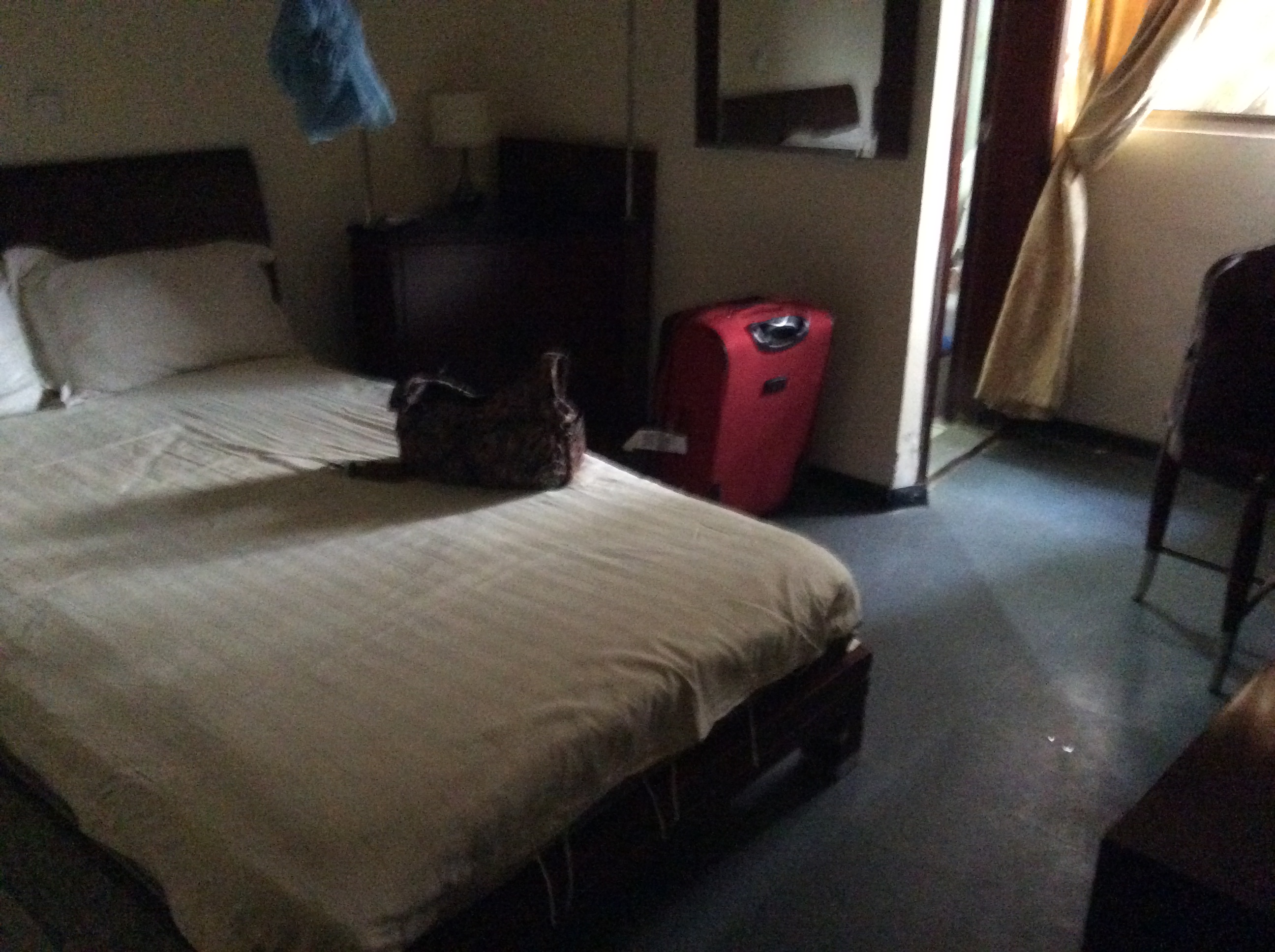
My first hotel room in Ethiopia at the Sunny Side Hotel in Kombolcha complete with mosquito netting–the blue blob above the bed.  At least it had a shower and toilet.  Many places use the style of accommodations one finds in a lot of Asia.  Forget toilets as you know them–just a tiled area with a hole in the ground and the ever present water with which to wash.  We carried our own toilet paper just in case.  However, many places had both so customers could choose.