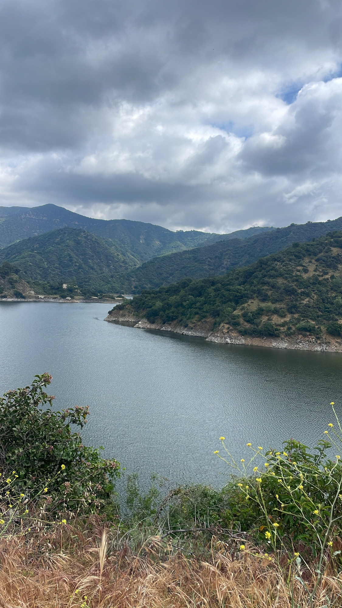
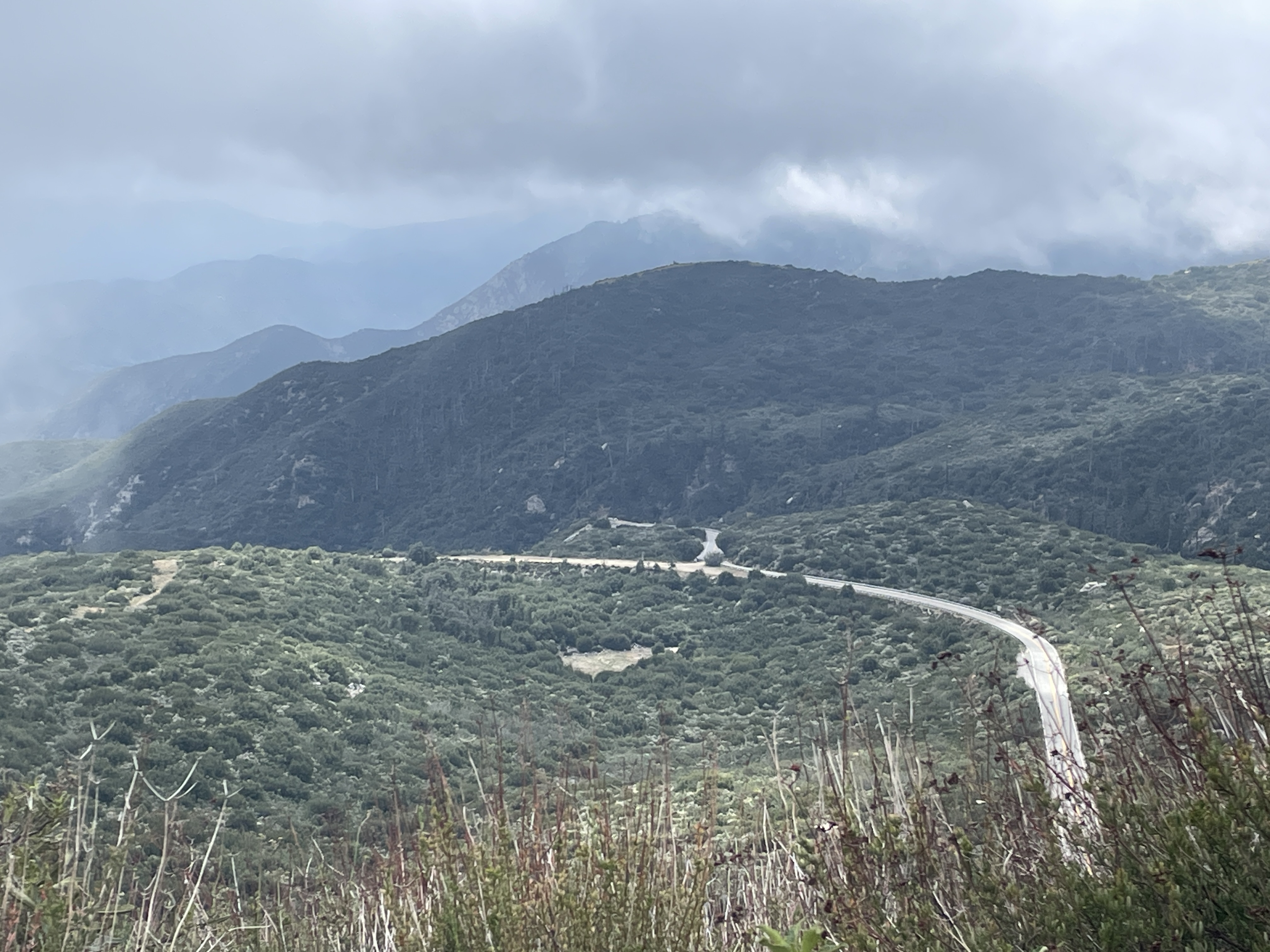
Although my son had been here a couple of times previously, he had never been up Mt. Baldy so we decided to drive a way I had never gone before, the Glendora Mountain Highway. It begins in the mountains above the town of Glendora, CA, and goes approximately 22 miles east where it intersects the highway going up Mt. Baldy at the Mt. Baldy Village. This road is not for the faint of heart. Although in good condition and well paved and two lanes wide, it is narrow and windy and without guard rails. Unfortunately, we did not stop and I was so busy driving, I could not see all the views. Unlike most of the highways and roads up toward the mountains all of which have views to the south, this highway crosses over to the other side so that many of views reveal all the rugged mountains to the north. I will attempt this adventure again, but not alone. For most of the trip we saw no other cars, and there is no cell phone reception up this way so best to have someone along with you if you decide to drive this.
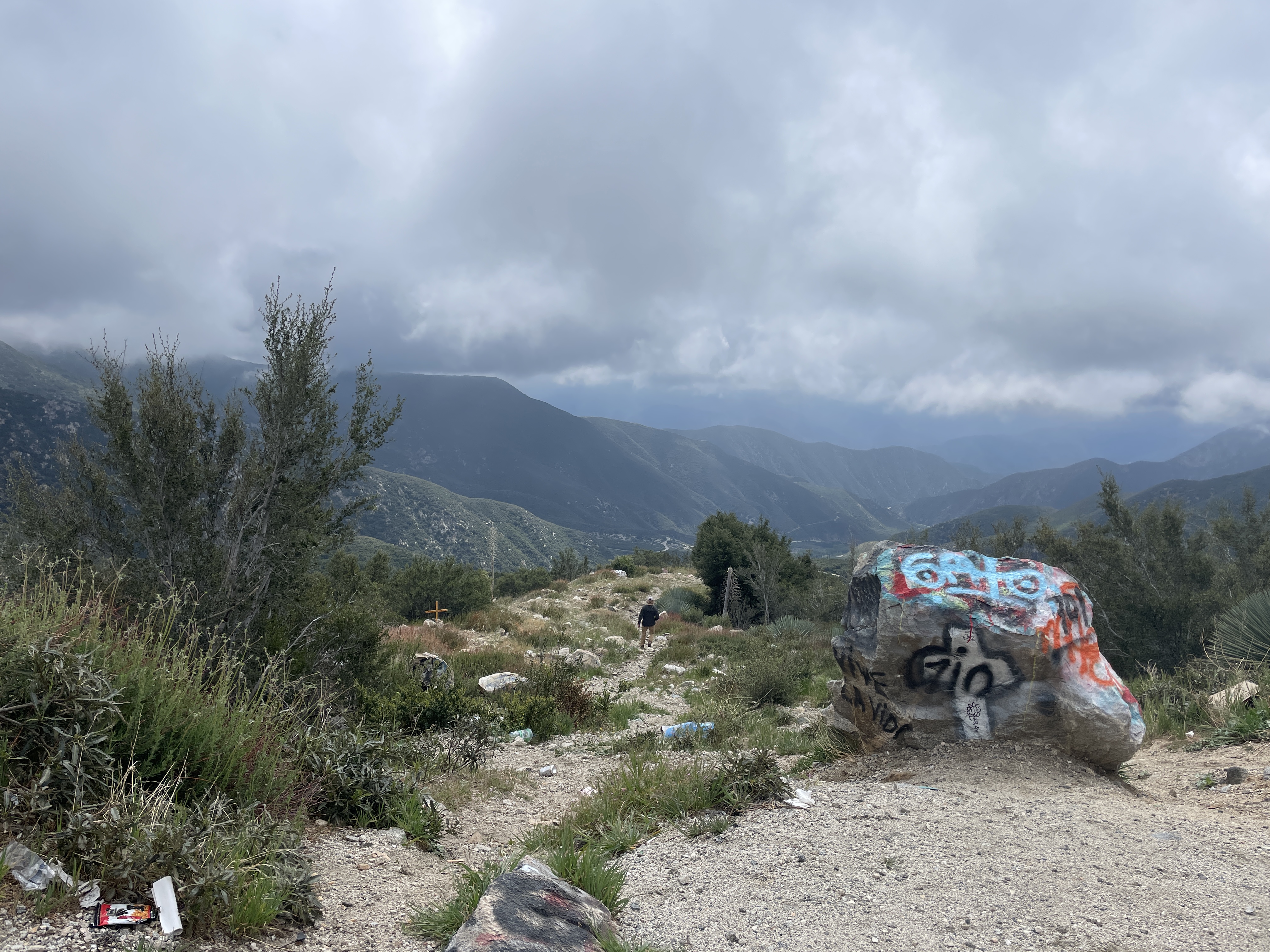
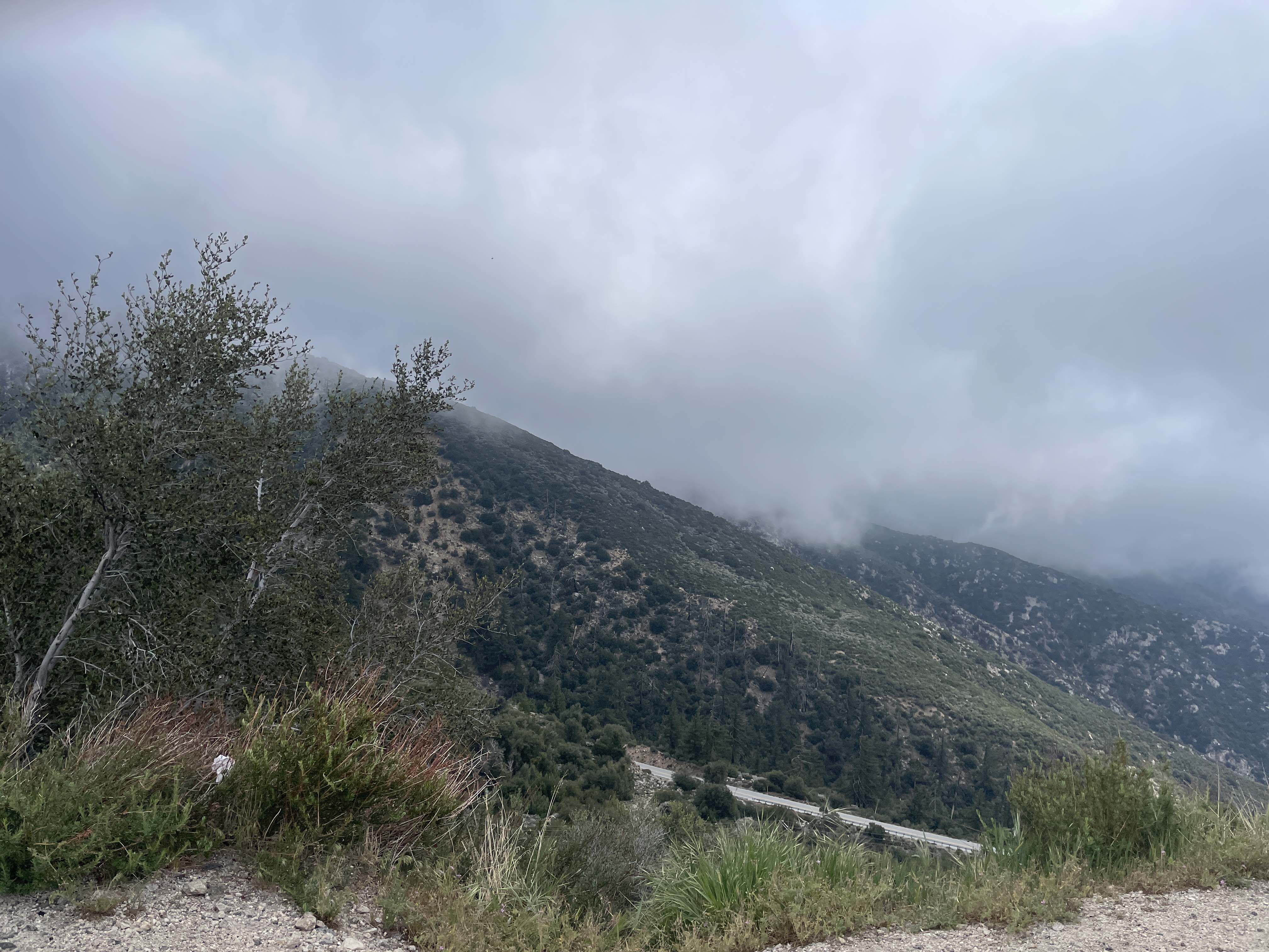
After we intersected the main road, we drove to the top but the very top is blocked off so we turned around and parked to hike to Angel Falls. The following photos were taken on this hike. Most of it is paved, but the very last part up to the falls is steep and gravel and necessitates crossing the stream below the falls. We decided to hike farther up a gravel road that climbs up the mountain where the paved part stops. Angel Falls can be heard long before you can see it. This is a relatively easy hike. Even on a Monday, there were quite a few people headed to the Falls so if you do not want crowds, go on a weekday.
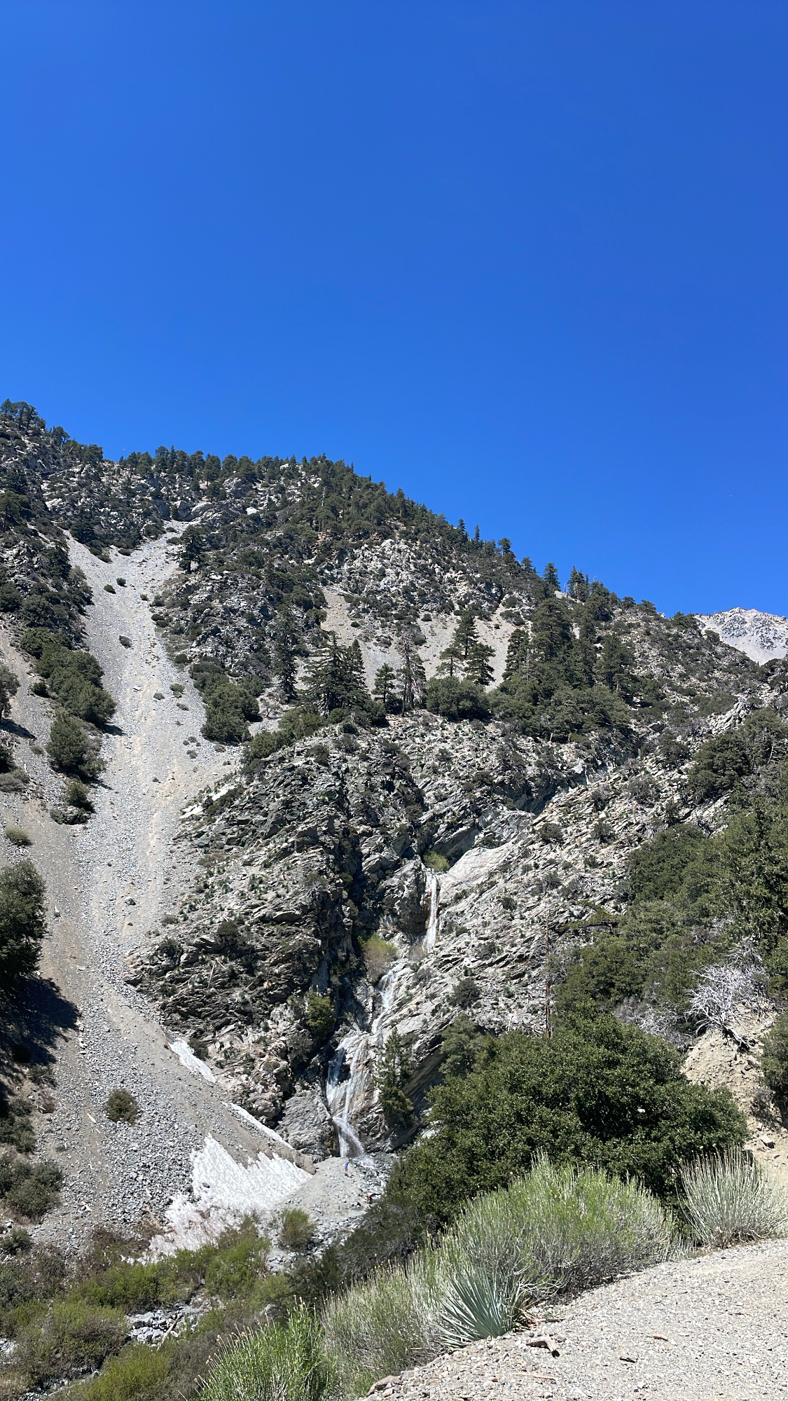
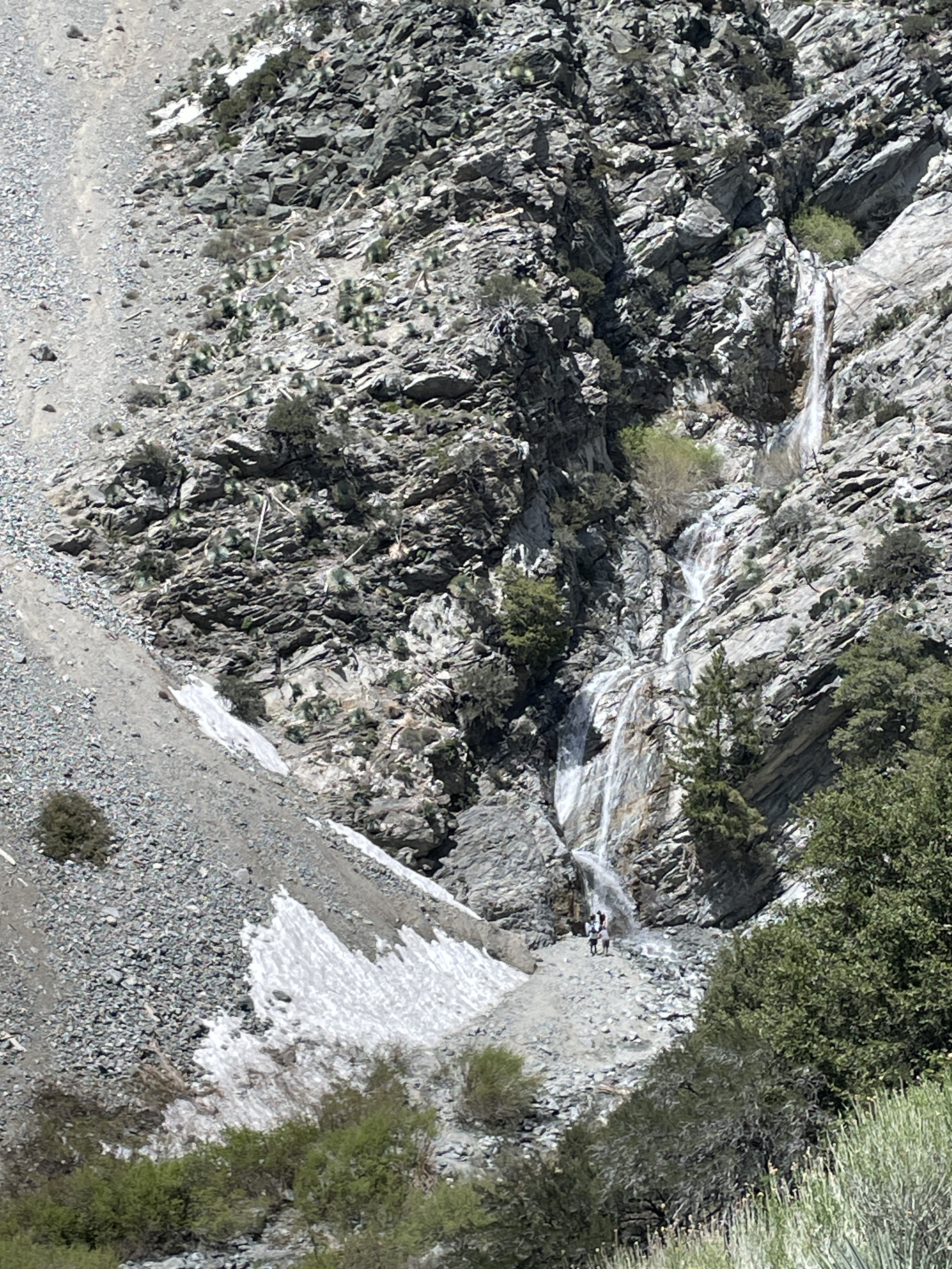
Yes, that is snow on the left side.