gurgling water
redwoods sighing
peace


Note: All the plants in this 78 acre garden are native to the area including the coastal redwoods.
gurgling water
redwoods sighing
peace
Note: All the plants in this 78 acre garden are native to the area including the coastal redwoods.
Several weeks ago, I spent a day wandering around the ancient sites where native peoples gathered over a thousand years ago.

This explains the extensive influence this place, located in the northwestern New Mexico desert, held for people from as far away as Central America. To reach this park, you have to drive on a dirt/gravel, rough road for more than 25 miles north of Crownpoint, NM. It is definitely worth the effort. However, it is impassable in rainy or snowy weather. The rangers who care for the park live there.
One of the first things you see as you get closer to the park is this rock tower, Fajada Butte.

Archeologists climbed to the top and discovered petroglyphs, “Sun Daggers”. Created between rock slabs, they align with each solstice and equinox and at these events the light projects to other sites, e.g. Pueblo Bonito. Other petroglyphs on a section of the canyon wall represent a supernova that occurred in 1054 CE.

The following depicts an overview of the site as it would have been in the past. In the 1940s part of the wall of rock behind the site collapsed onto it and destroyed some of the buildings.
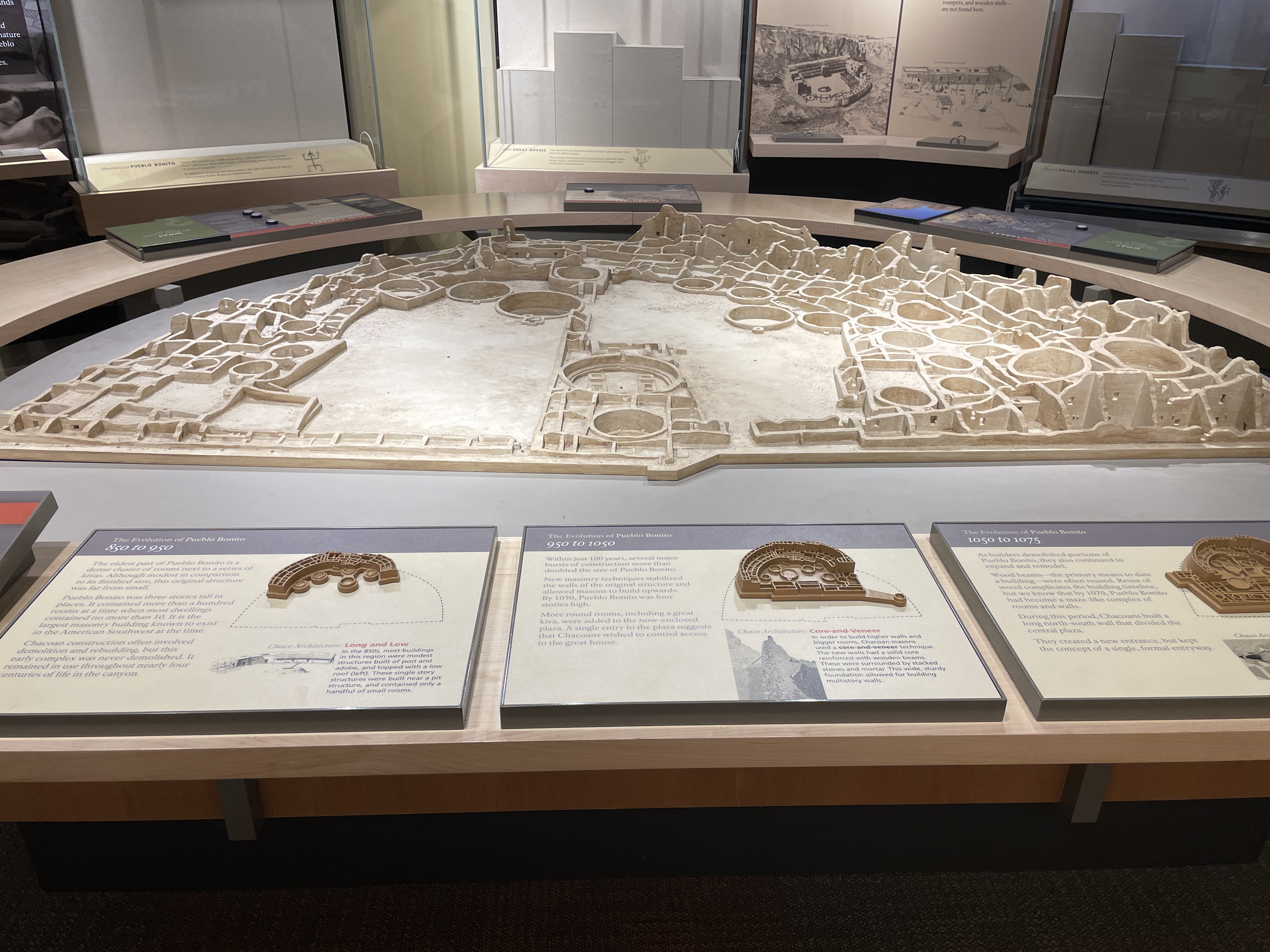
Here is how it looks today. Many of the doors and windows align with astronomical events, e.g. solstices, the two equinox, and astronomical events that occur only every 17 years.
All sites here contain many kivas, many of which are very large. It is speculated that these were used for various sorts of ceremonies, including religious events.

In this view you can see how the rocks that fell from the cliff have destroyed parts of the structures.

Many of the buildings were several stories high. In their heyday, they did not look like this. They were covered with something like stucco and painted white. What an impressive site they must have been–large white structures in the middle of the brown desert. Archeologists think few people lived here. It was a place for gathering, for ceremonies, for trade, for people from long distances to meet.
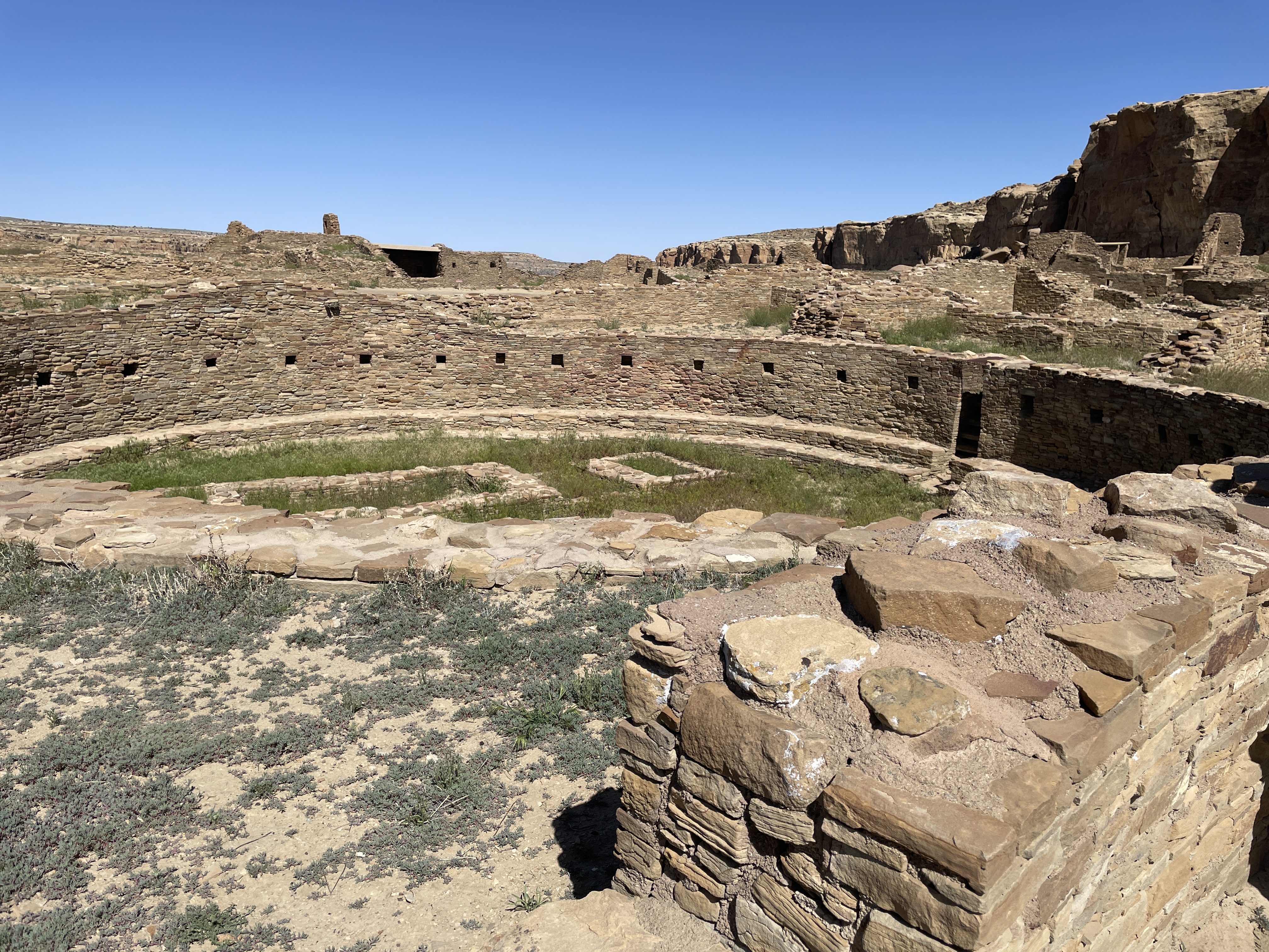
Across from Pueblo Bonito is the largest kiva found in the area.


Behind the bars on the far side of the photo is an area that was used for ceremonial dancers to don their costumes. At the bottom you can see a depression with a small door. Before centuries of sand filled it in, this place would have be large enough for the ceremonial dancers to enter through it.
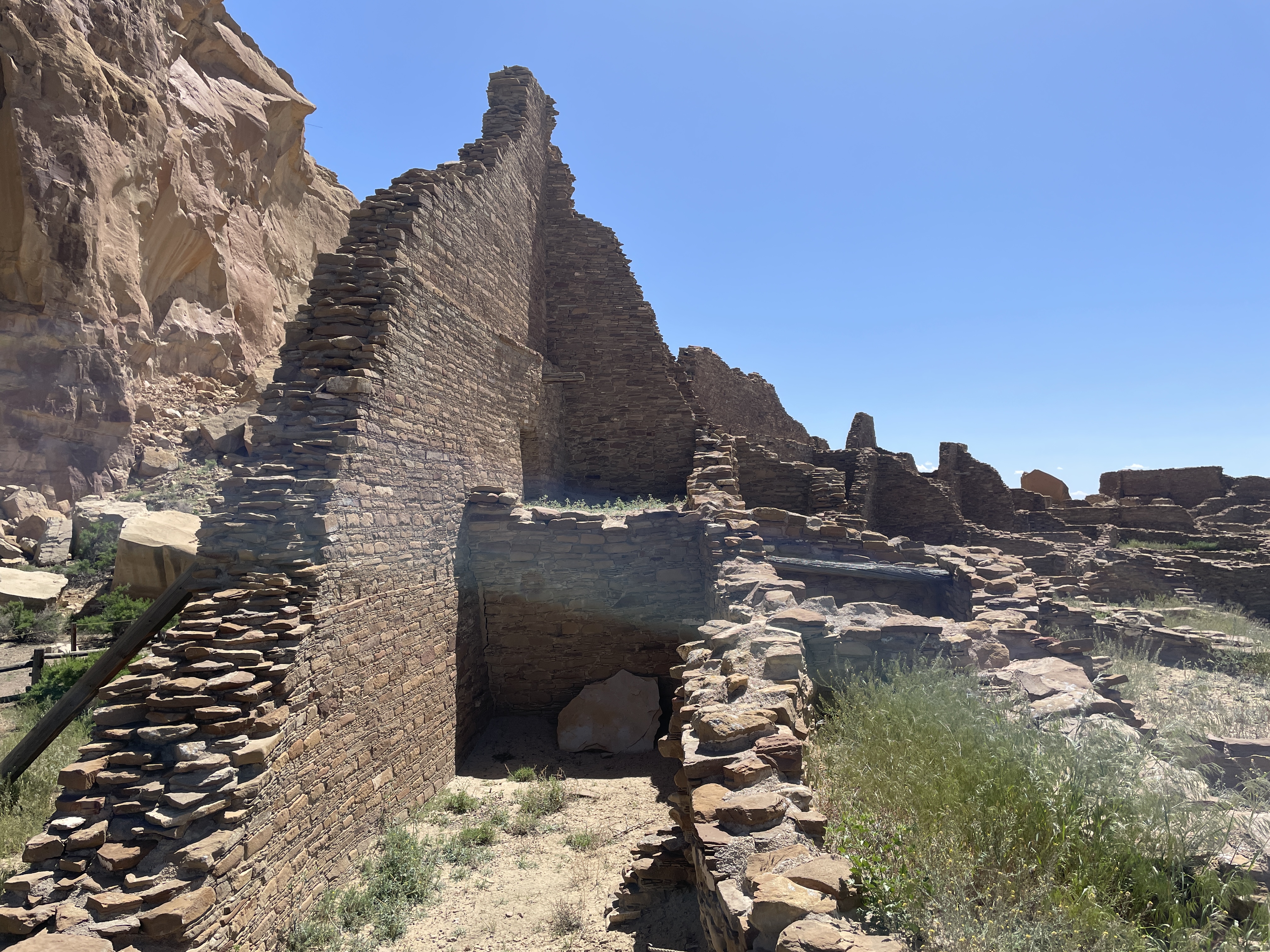
If you follow a trail along the cliff from Pueblo Bonito, you will find another area built at different times hundreds of years ago.


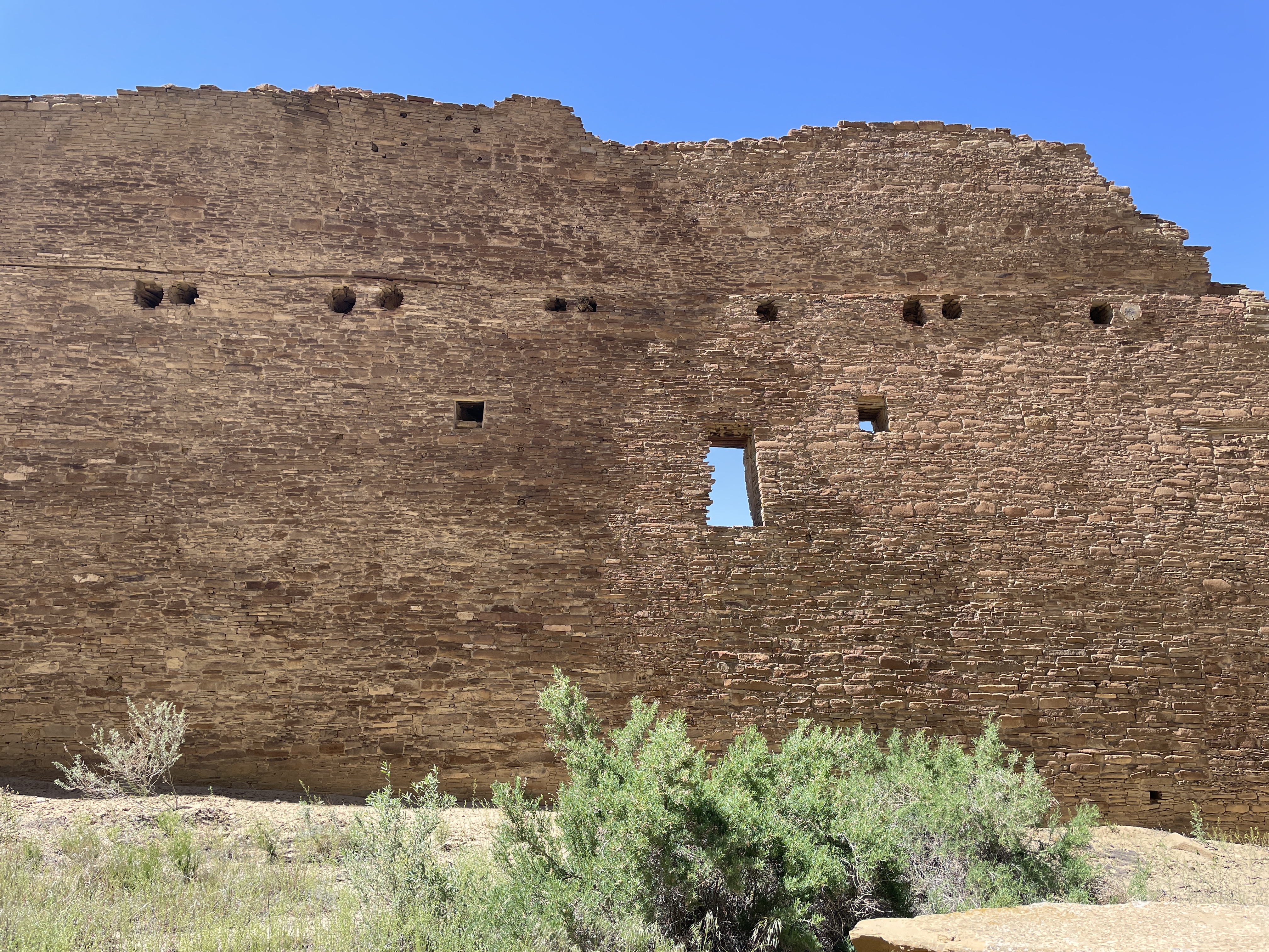
Another large kiva and many smaller ones are located at this site, including this famous long wall built at two different times.

The following shows where at some point the wall stopped, then later it was continued using somewhat different building material and techniques.


The top photo is considered the newer part of the wall.
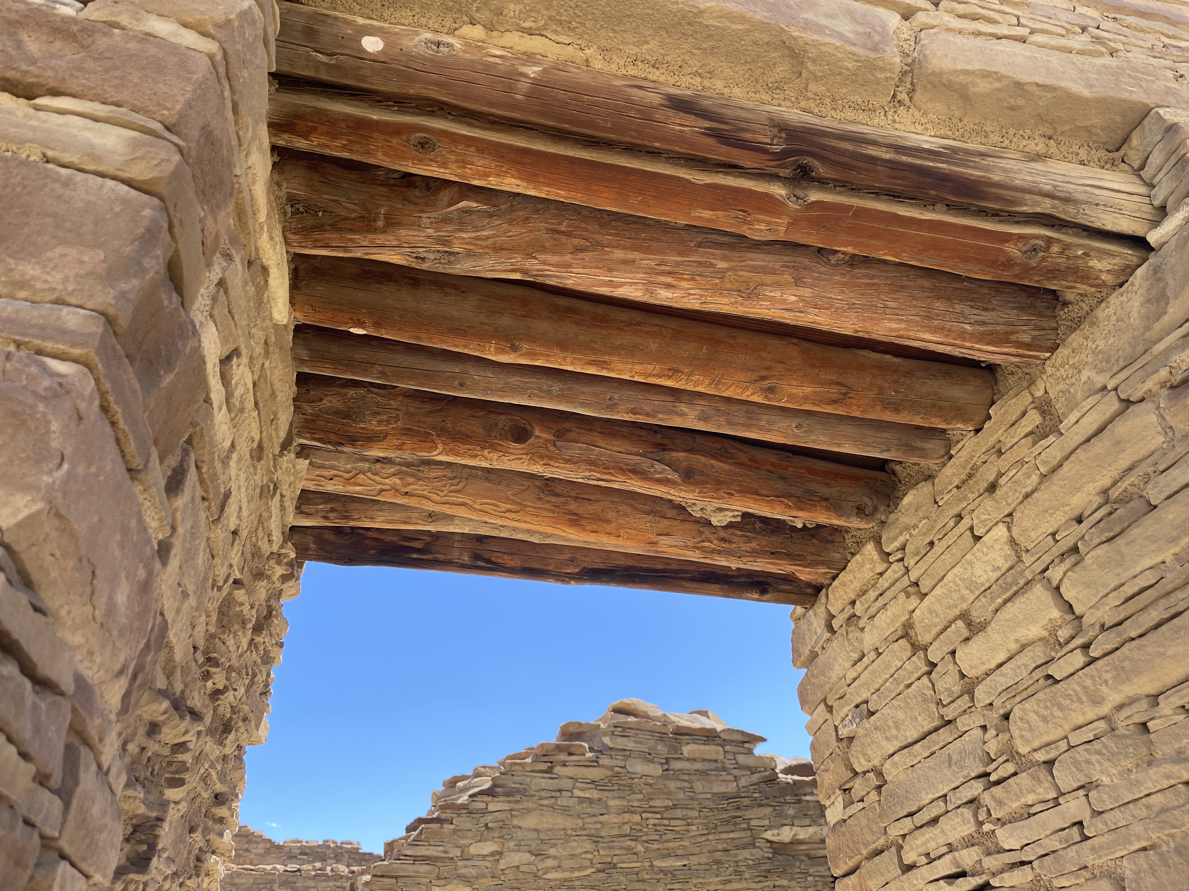
The wood used for tops of windows and doors was brought from forests hundreds of miles away. The desert air has enable it to be preserved.

When you walk the trails, you see wild flowers and native plants. This is desert rhubarb and it is edible.


While these are photos of the more impressive structures at Chaco Canyon, more than two hundred ceremonial and meeting sites can be found in this area of NM and AZ.
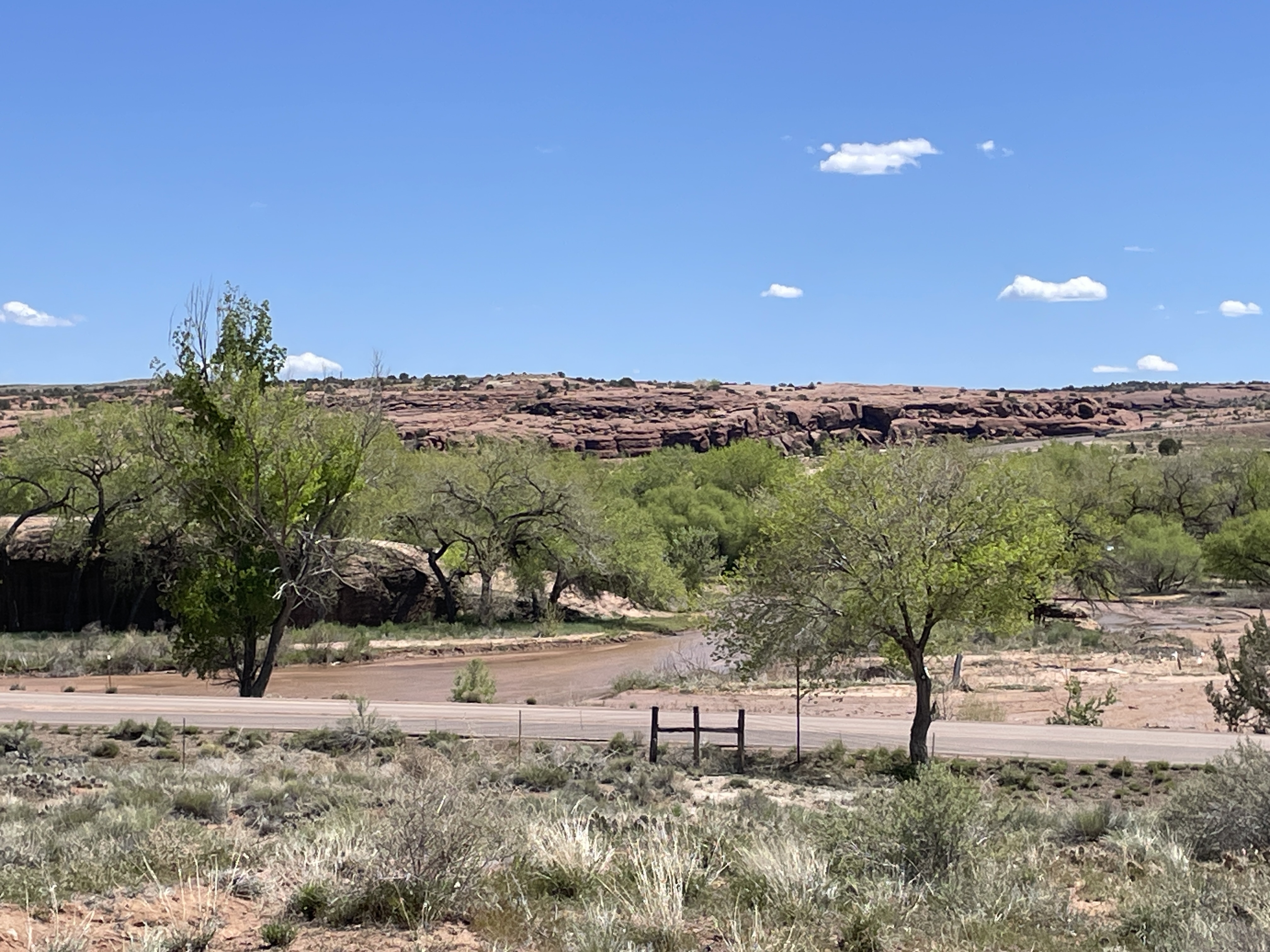
Canyon de Chelley was named by the Spanish who could not quite pronounce the Diné (Navaho) word for it and hence this name which is pronounced like de shay. It is more than 30 miles long and has a river running through it at least a substantial part of the year. In summer native people live there with sheep, horses, etc. even though fewer and fewer of the younger generation choose to do so. To enter the bottom of the canyon, you must acquire a permit and hire a Navaho driver. This is to protect it from the vandalism that occurred in the past. Canyon de Chelley is jointly managed by the National Park Service and the Navaho Nation.
Canyon de Chelley begins at the edge of Chinle, AZ, near the Holiday Inn which, by the way, serves traditional food such as mutton stew and blue corn fry bread. Yes, I ate both. This photo shows the beginning.
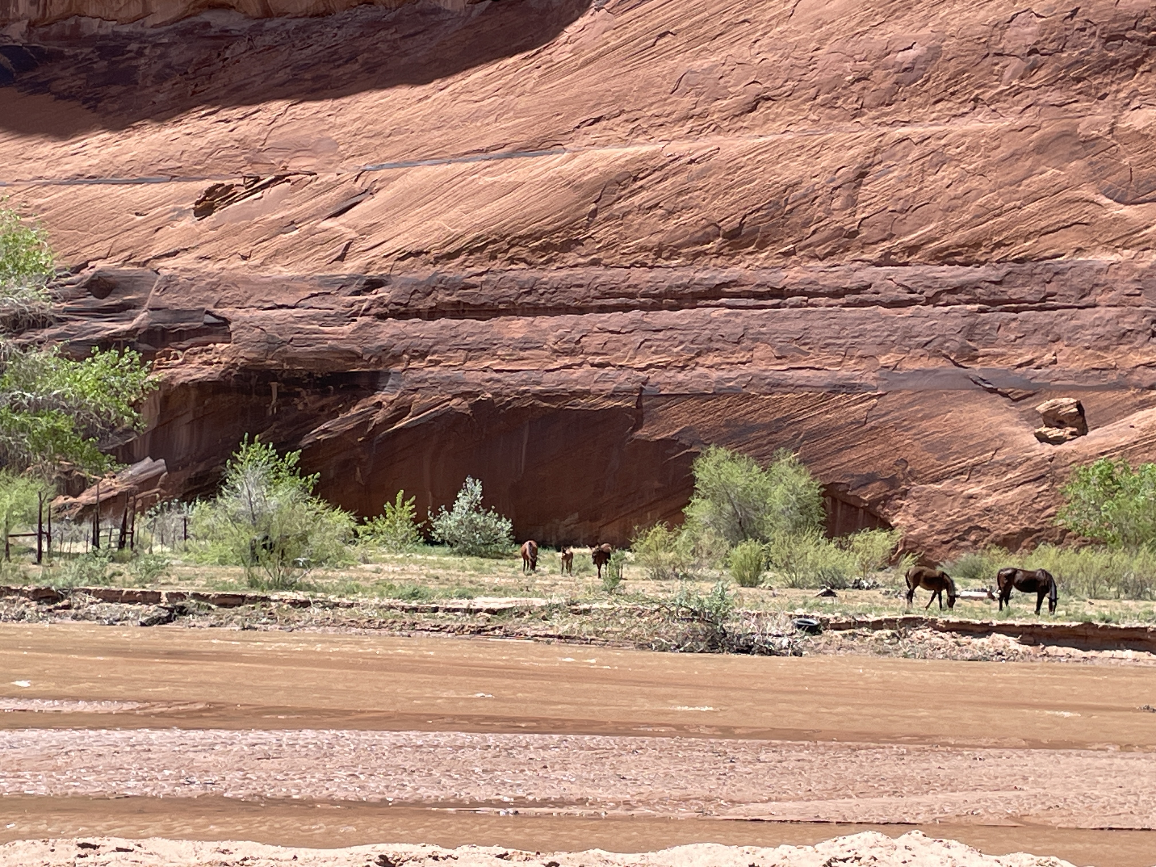
It was quite a trip; I sat between two women in the back of a Jeep with a perfect view of everything right in front of me. Oscar, the driver, knew exactly how to traverse the water, the wash (what they call this stream), run up and down the banks.

Driving right up the middle of the wash.

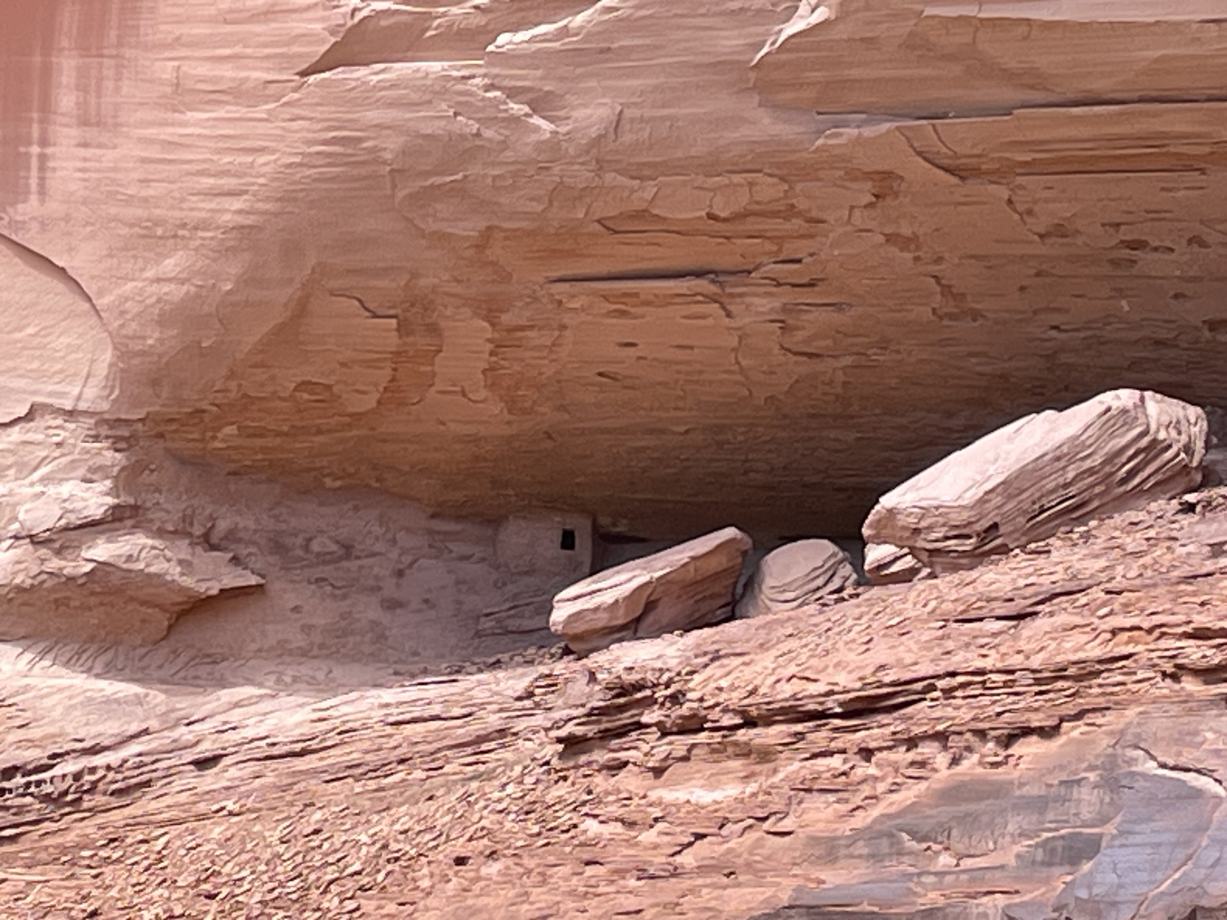
Petroglyphs can be seen in so many places we stopped that I lost count. Oscar said they are nearly endless and can be found throughout the canyon walls.


A few days previous to our arrival it had snowed so everything was green and lush from snow melt.

In addition to petroglyphs, there are etchings in the rock walls.

In this case an etching/rock carving of horses.

Yes, we drove under this overhanging tree limb.

Sometimes the wash was narrower and deeper and we drove up and down steep banks and through deeper water.
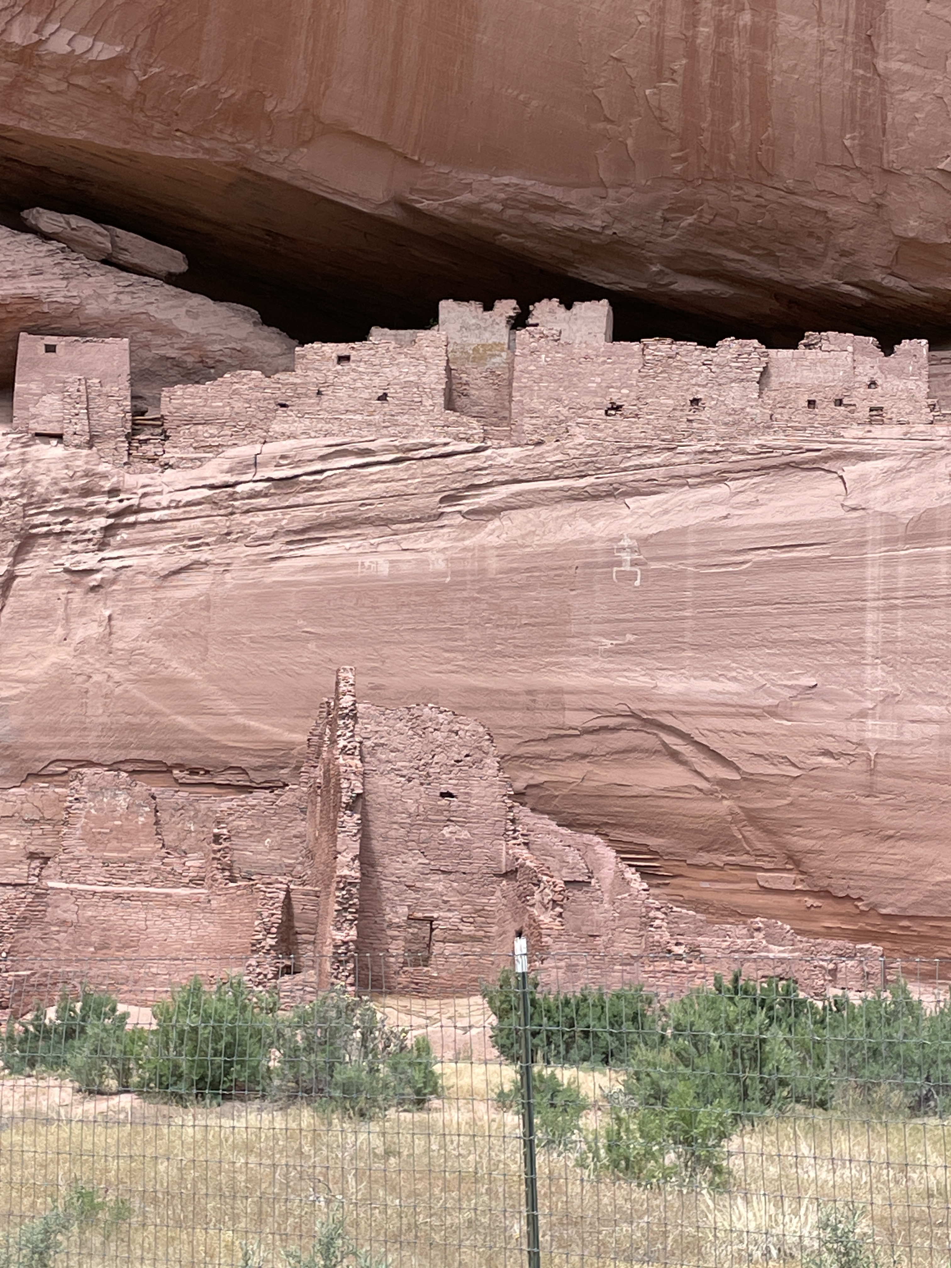
Ancient pueblo people lived here for centuries, some more than 5,000 years ago. This is one of the largest pueblo structures in the canyon (The White House–due to a white washed wall which you cannot see from this vantage point). The fence was built to protect it from vandals. We saw many smaller dwelling places and Oscar said there are hundreds in the canyon.


Headed back down the wash. This was a half day trip so only saw less than half of the canyon. You can hire for an all day trip complete with picnic lunch and go all the way to some of the famous formations that can be seen from the road at the edge of the top. There is also a side canyon called Muerto–due to a massacre of the natives that occurred after the Navaho forced long march.

The Jeep needs a bath after this trip.
Note: With a permit and guides, there is camping and horseback riding trips up the canyon in addition to this type of tour.
Fearless little bird with chocolate brown head runs beside me
on the road. At the intersection I circle to the left, following
a familiar route. The heavy tree canopy here always astonishes.
It’s almost like walking in a forest.
The architectural variety amazes: mid-century modern, Spanish,
colonial, ranch, the smallest I am guessing contains 3500 sq. ft. One
house encompasses an entire city block, fronted with heavy, high
fences and metal gates. Privacy obsessed.
I’m watching my time. I don’t want to be late for singing
practice. I take a new route, perhaps a shortcut. It’s
120 degrees of a circle. Not quite a regular street,
not quite an alley, a combination–fronts of a few houses
and the backside of others. At one place it angles more;
I come to a three story stone fortress with intricate
geometrical designs vertically running up and down
the walls. No windows. A sign says, “No trespassing.”
Realization hits me. This is the other side of a house
I saw last year through a gap in a wall on another street.
Three ladies, strangers, asked me about it, told me they’d
heard it was the creation of a famous architect. I researched,
asked others, no one knew. Back then, I tried to find the front,
failed. Now I’m looking at it, wonderstruck. It appears abandoned,
an architectural wonder belonging to another time and place.

Time to rush, a bit lost, I look at my phone map, finish the loop,
find a familiar street, walk faster. Then I see a large, white, colonial house,
weeds knee high, black shutters hanging askew. Here it is abandoned
in the midst of multi-million dollar houses. I wonder what the neighbors
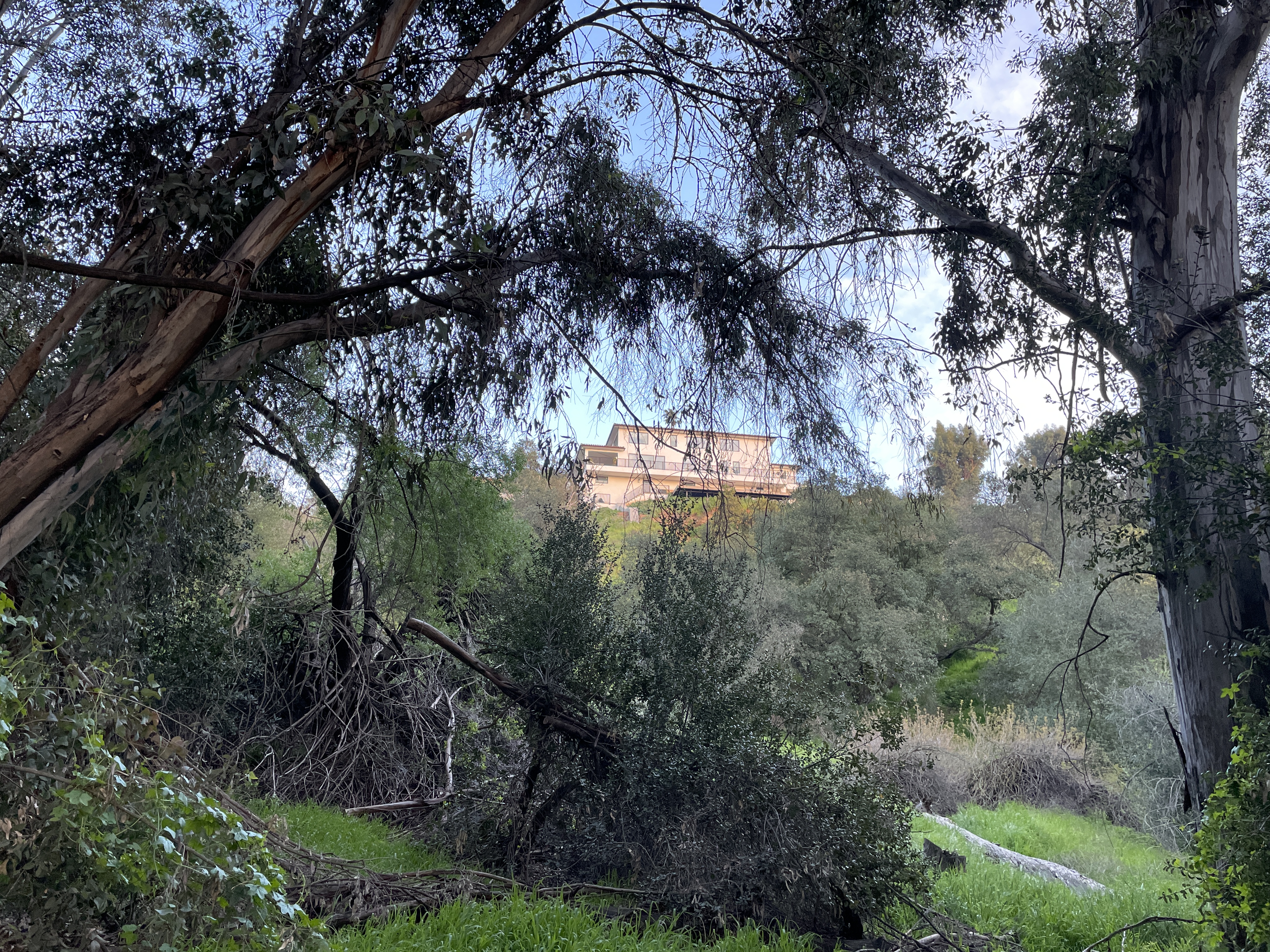
think. Walking on I hear water rushing, peer through the hedges–a stream
runs downhill from the side of this huge brown house at least 100 feet
and gurgles in a pool behind the bushes. Hurrying, I stop in front of one
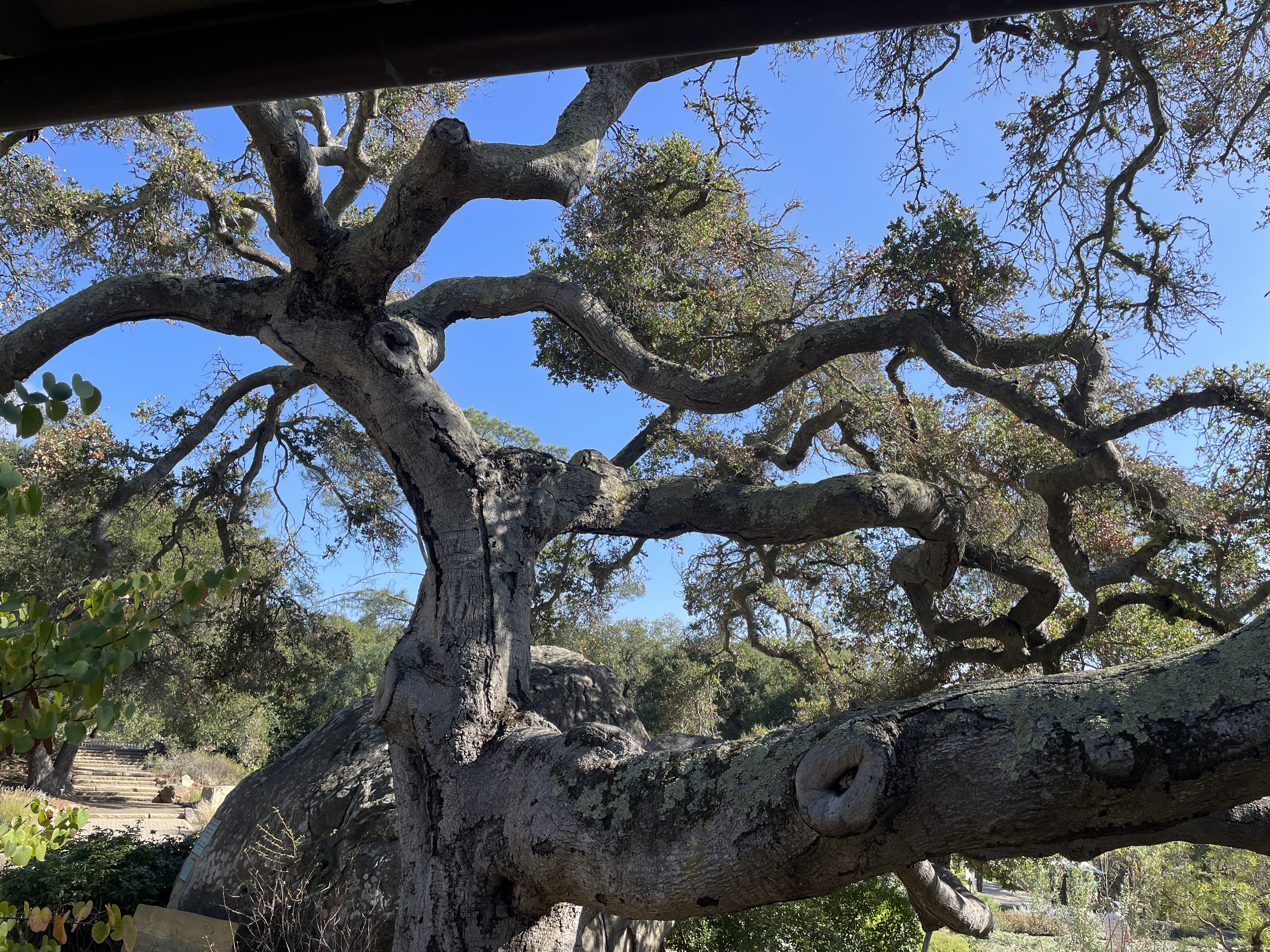
of my favorite houses, a one-story, tan, Spanish style, small compared
to the others nearby. I take a photo of the tree in front by the sidewalk,
its impressive girth impossible to ignore.

Finally, I’m near my destination, walking in front of The Gamble House,
a tourist destination made famous by the movie, “Back to the Future”,
a structure I see at least twice a week.

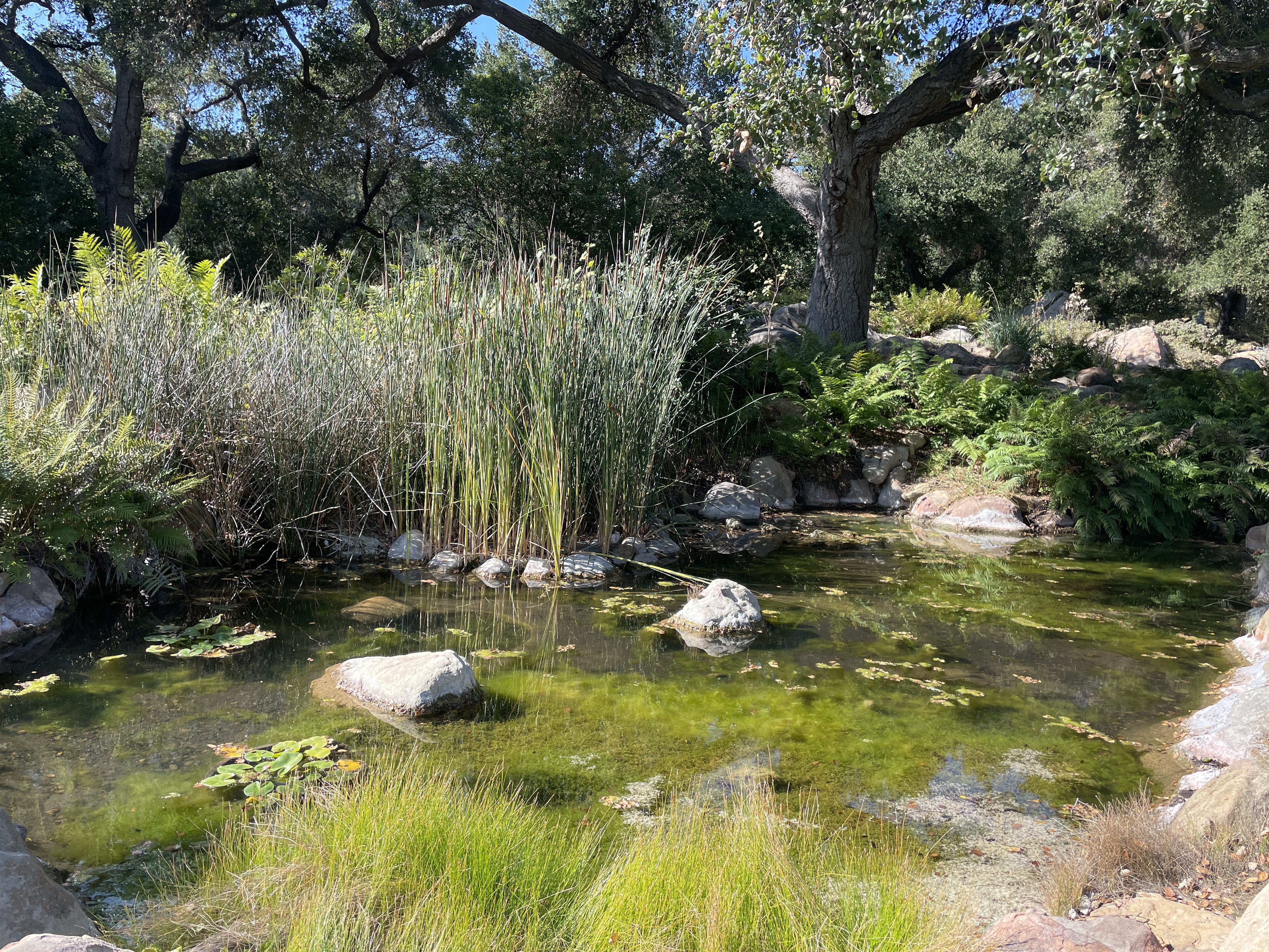
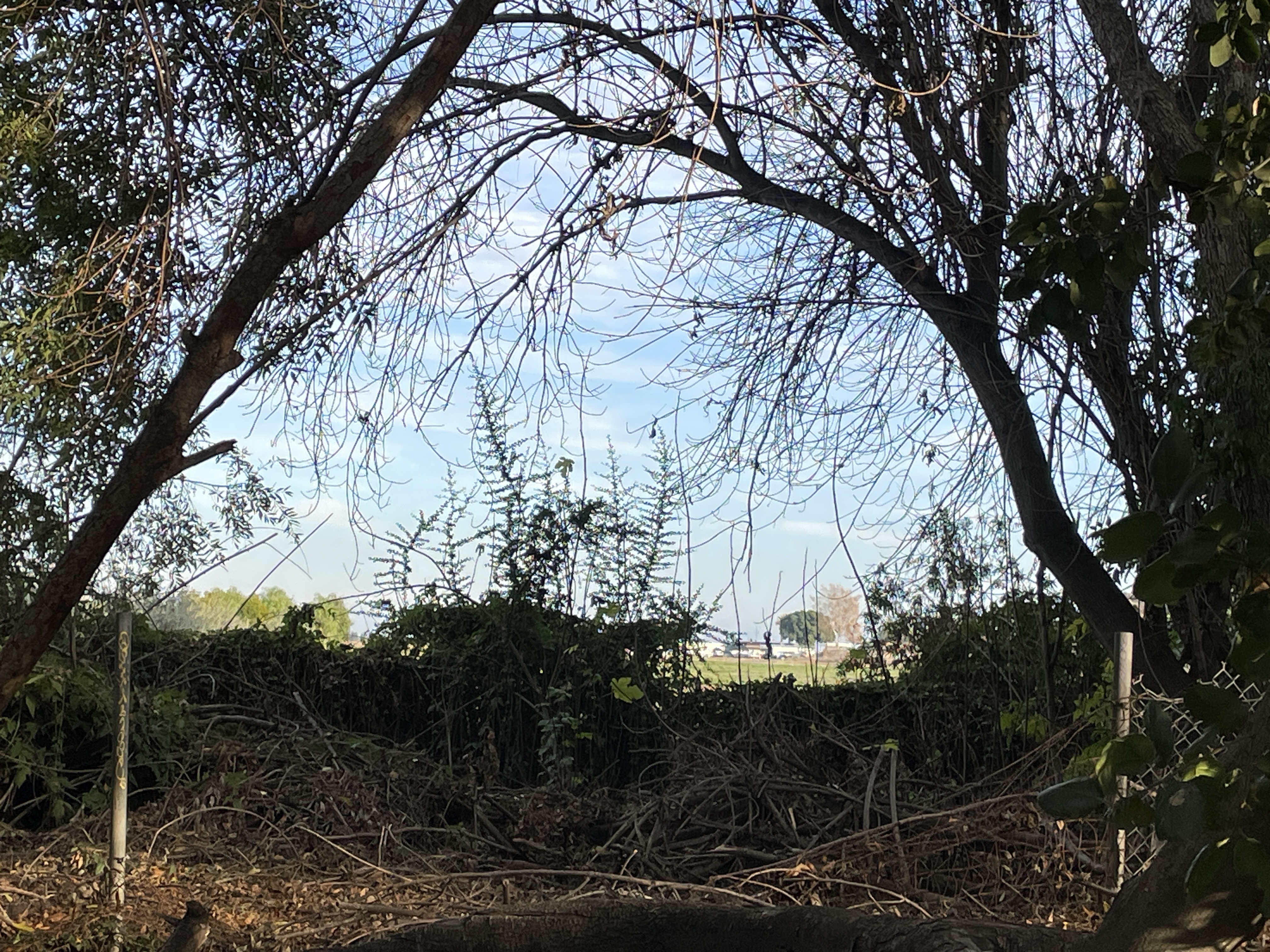
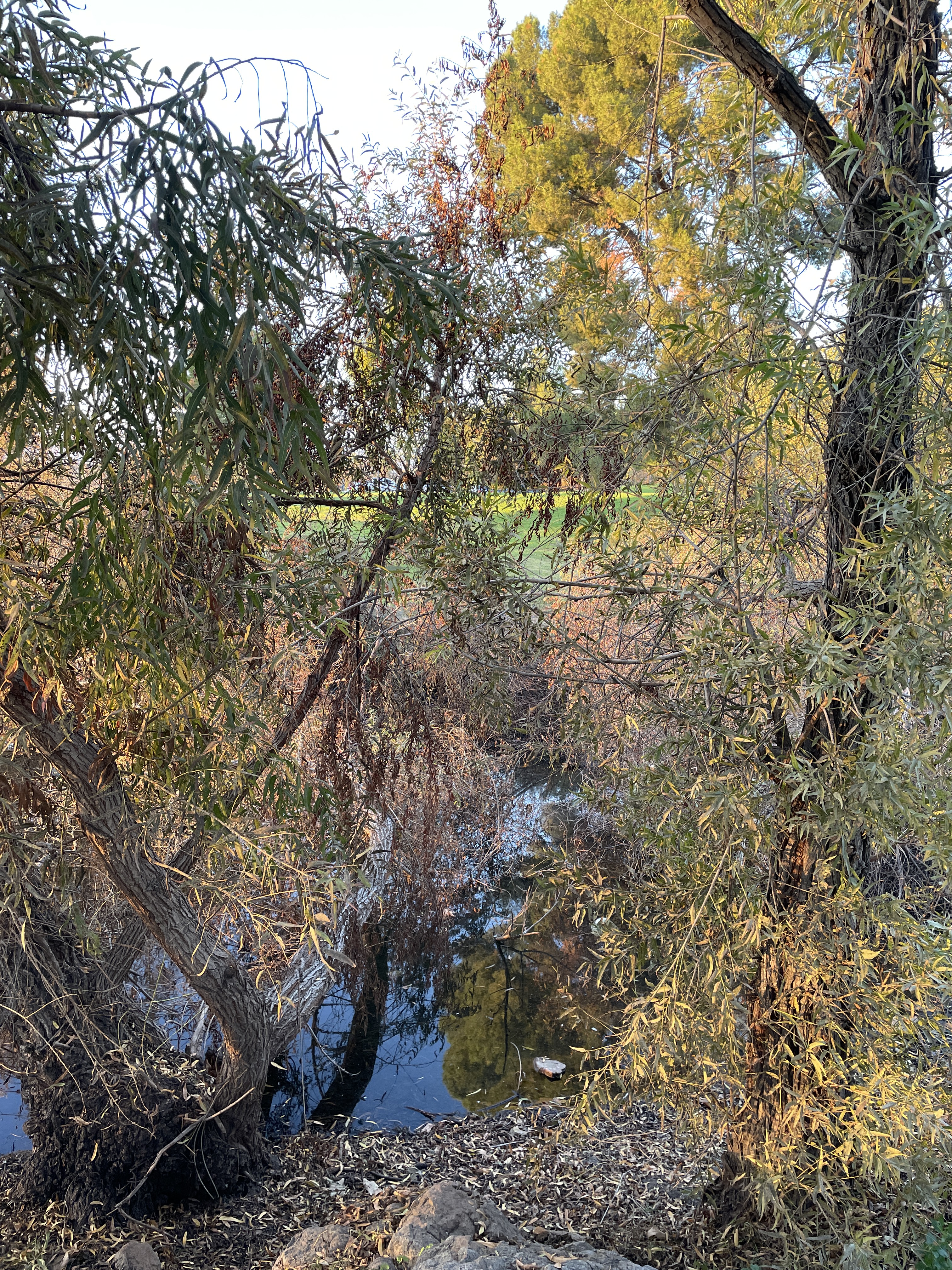
Today water level was low enough that I could cross into an area I had not previously explored. While many of these photos are in the areas I’ve walked before where the walker can see the lake and mountains, the other photos are from the heavily wooded area I found today.


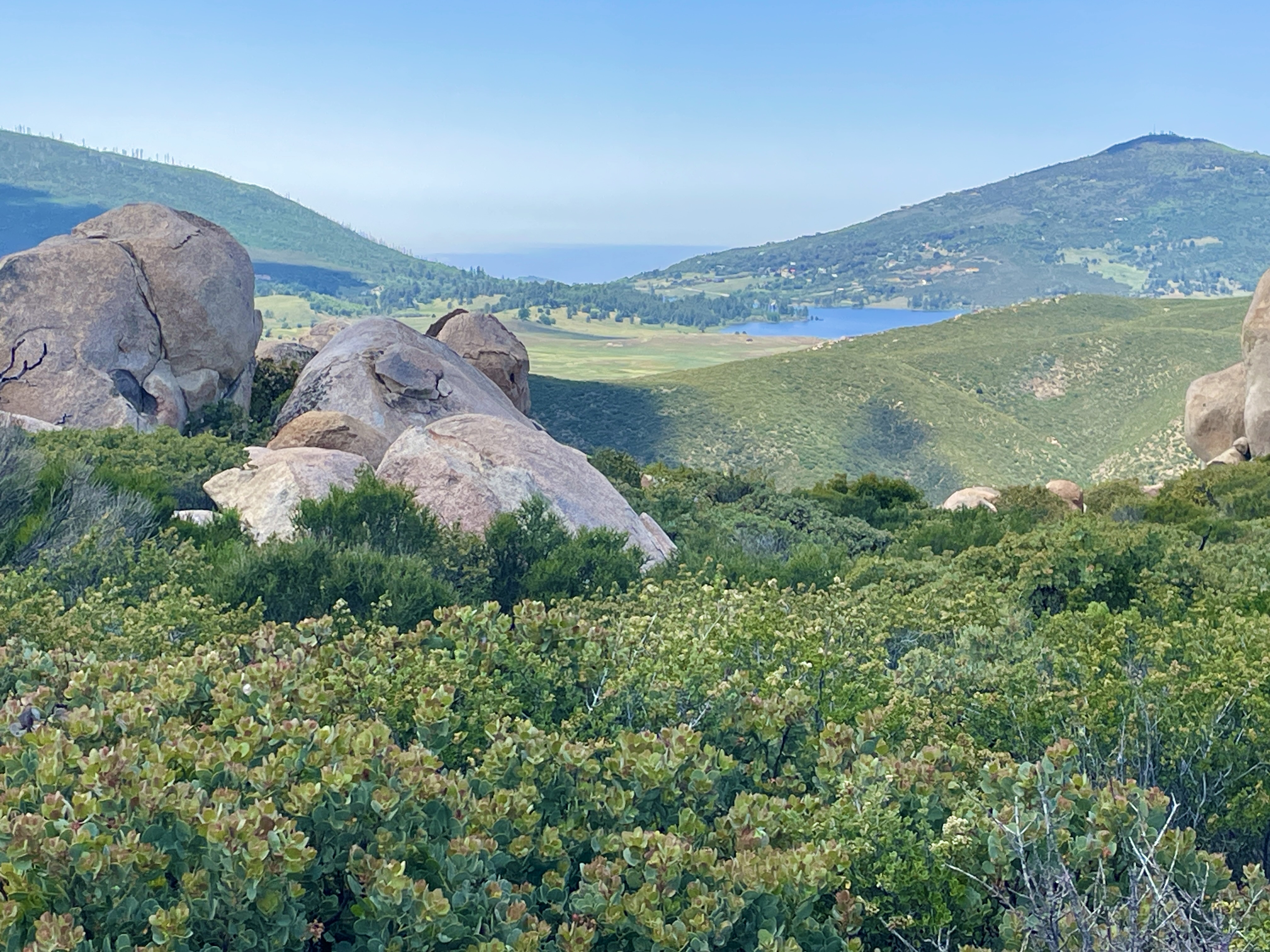
Yesterday I drove to this place about six miles south of Julian, CA, a small, touristy, mountain town east of San Diego. Owned by the Nature Conservancy, the ranch abuts Anza-Borrega Desert Park, but this area is not desert. On the way, I drove through at least four Indian Reservations on Highway 76. California has more Native American residents than any other state.

This is Lake Henshaw on Highway 76 on the way to Julian. It is so full now that tops of trees stick out of the water. People told me that last year it was more like a big puddle.

The three mile hike was not long but quite strenuous as we climbed approximately 800 – 1000 ft. in altitude on the hike.

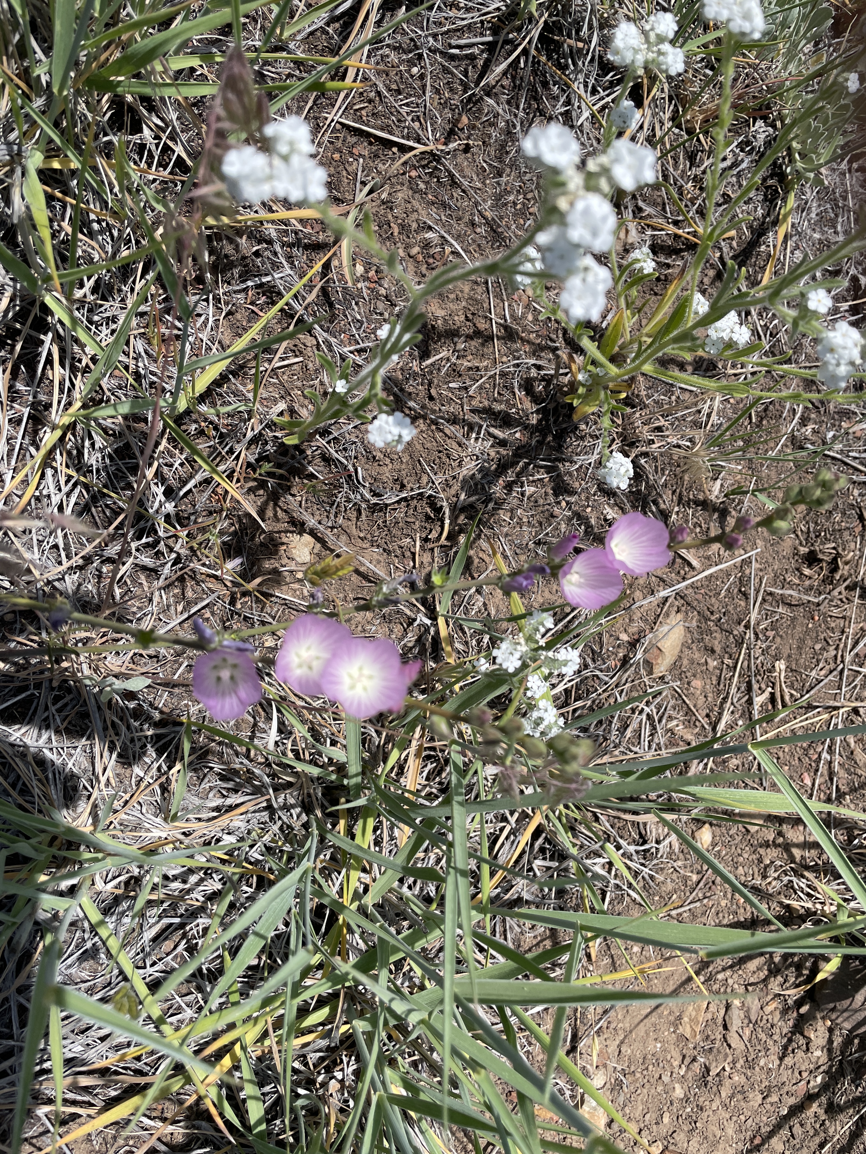
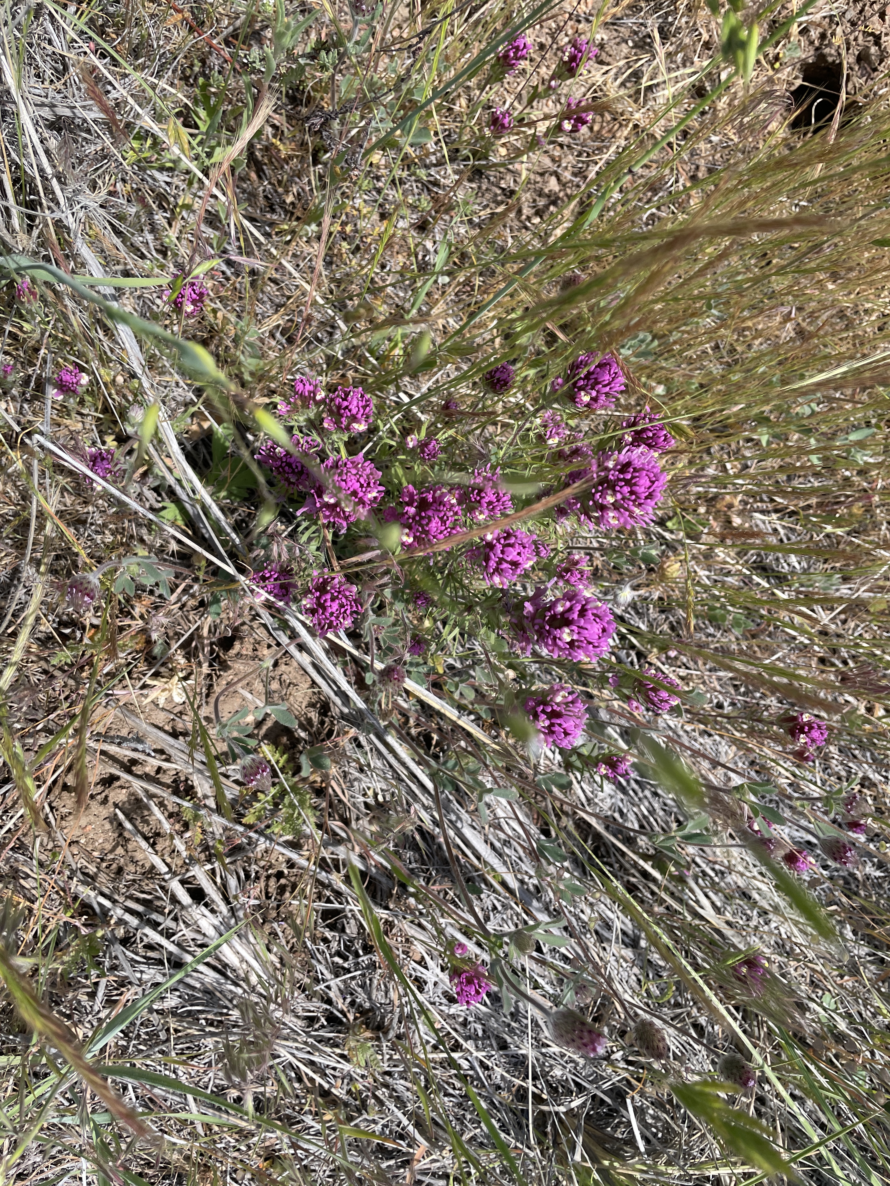
Lots of wild flowers everywhere due to abundant rain this year. We had to find parts of the trail because it had not been used since before Covid and was overgrown.
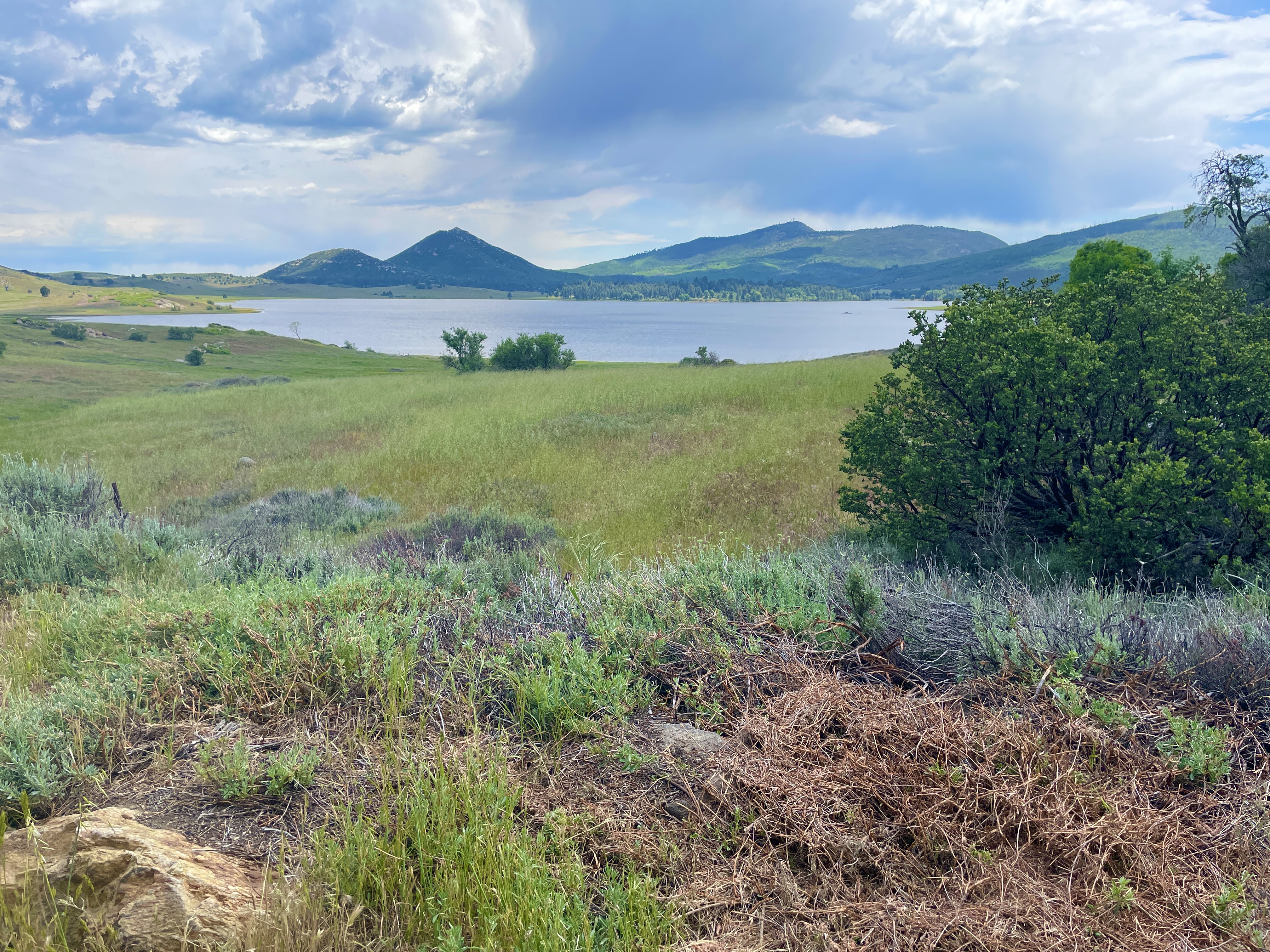
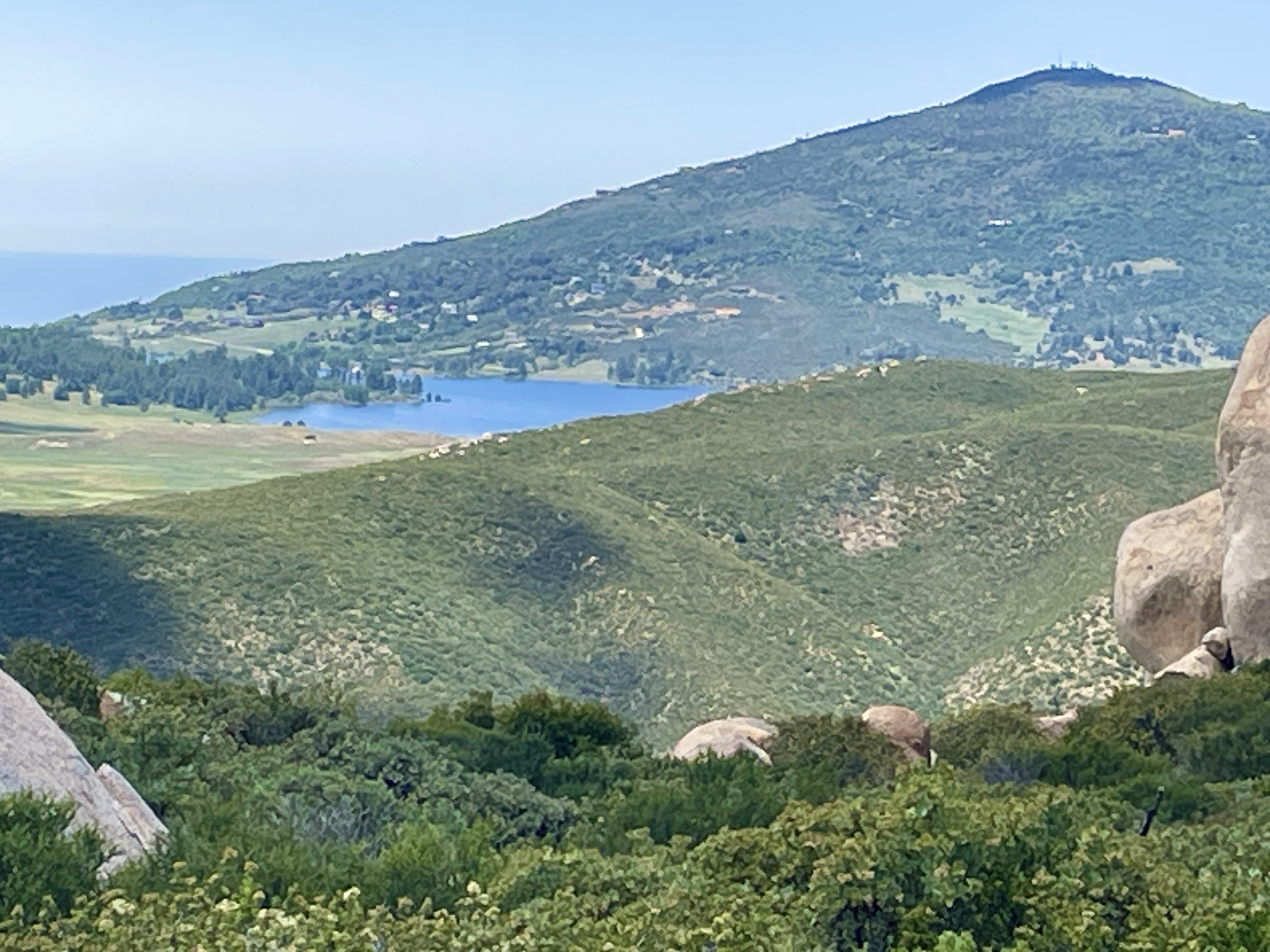
Views of Lake Cuyamaca which we could see in the distance as we climbed up and down.
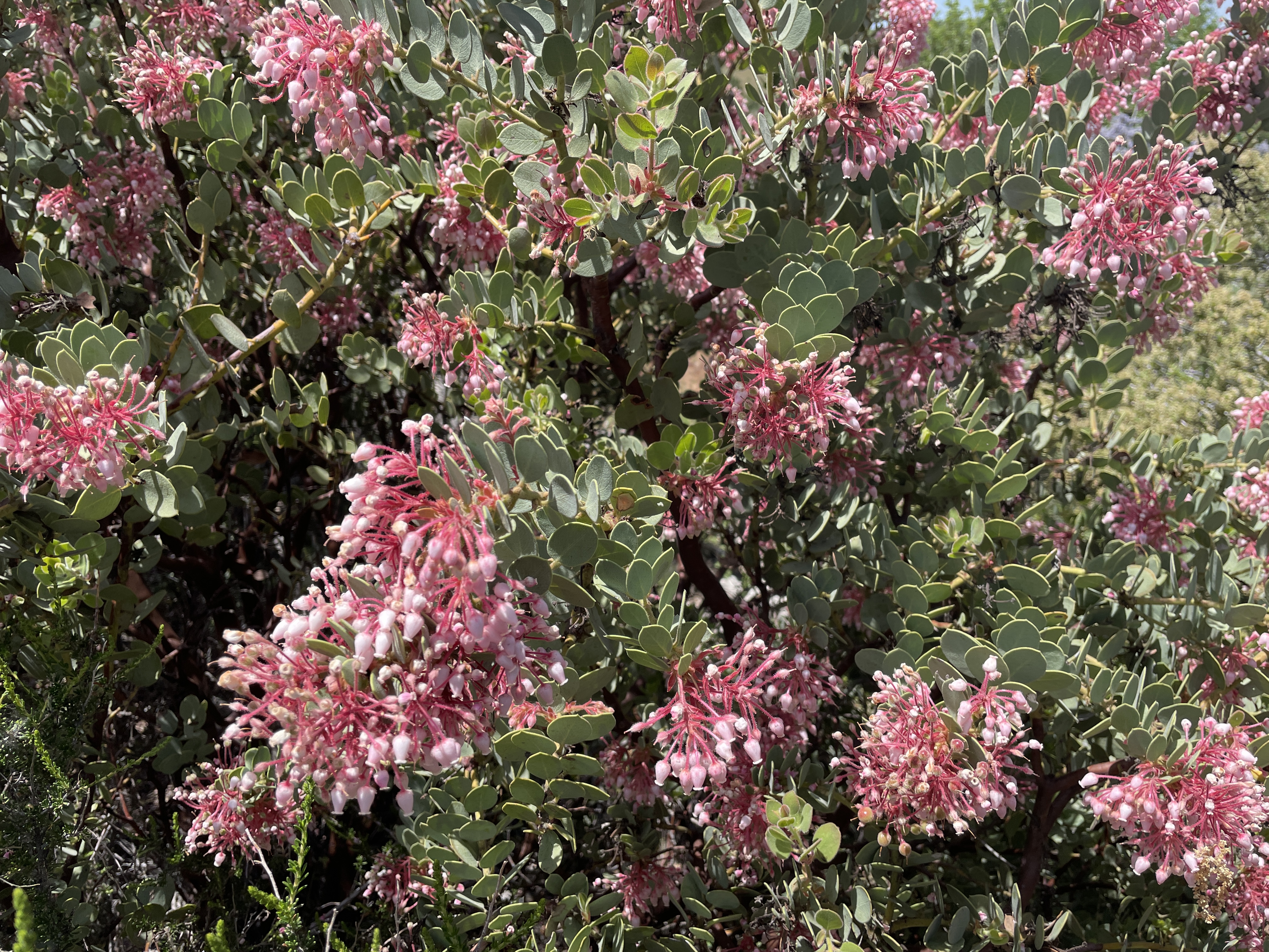
The manzanita are in full bloom and luxurious this year. There were other flower the names none of us knew.

Lupine.
We kept climbing up steep slopes higher and higher. The climb was more difficult because lots of loose, little rocks and gravel in many places.


Where we ate lunch at the top which is slightly over a mile high. There are these dead, bleached out branches everywhere, the result of a big fire in 2003 which killed a lot of plants and some of it has never recovered.

Lunch up high among the rocks.

A different type of yucca than grows everywhere in the many other places where I have previously lived.

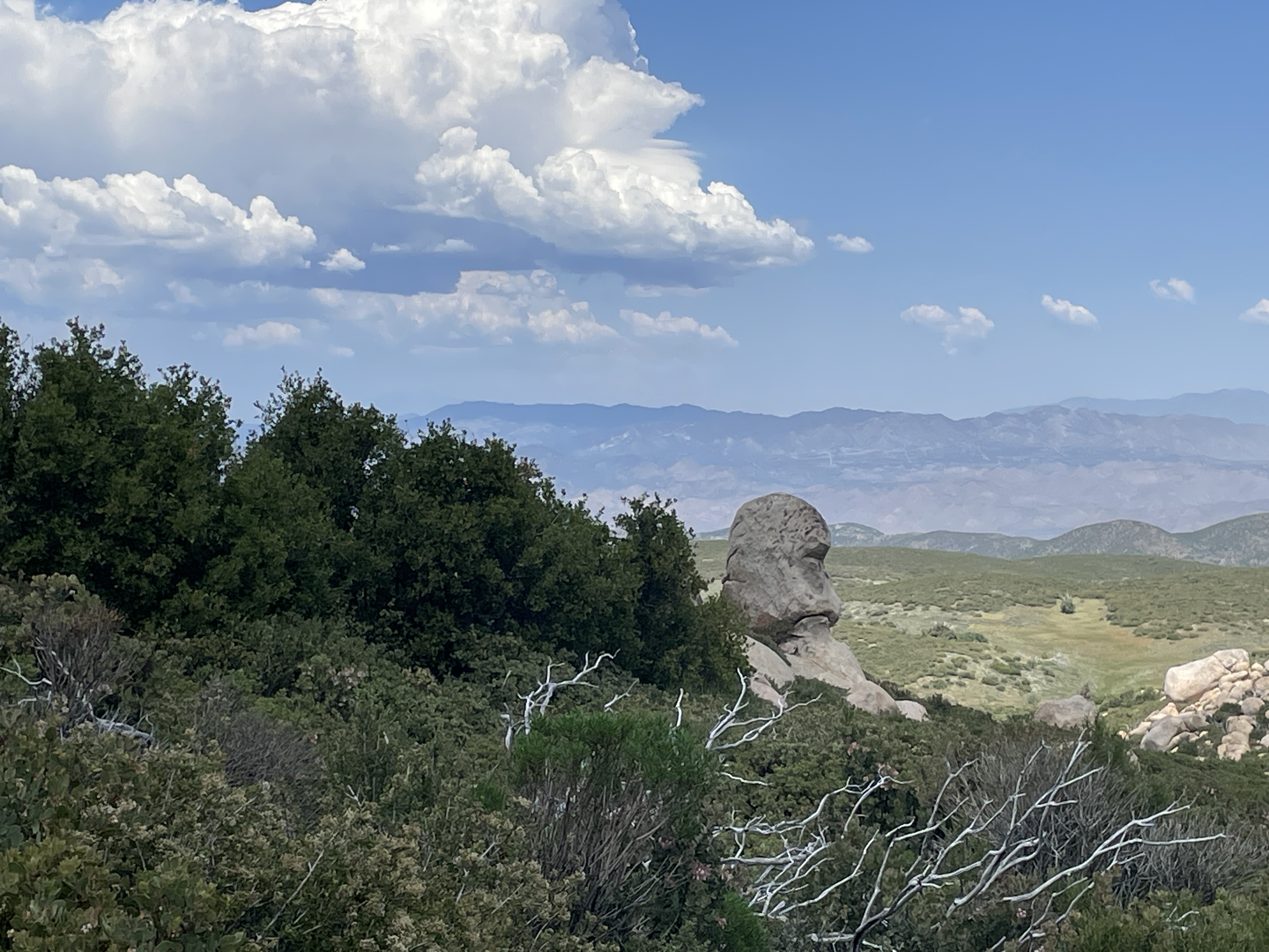
On the way down from the top. Everything is still quite green here and there were storm clouds in the distance.

Some people call this California lilac. It grows everywhere here and is in full bloom glory.

emerald surrounds
rushing waters
wandering pathways
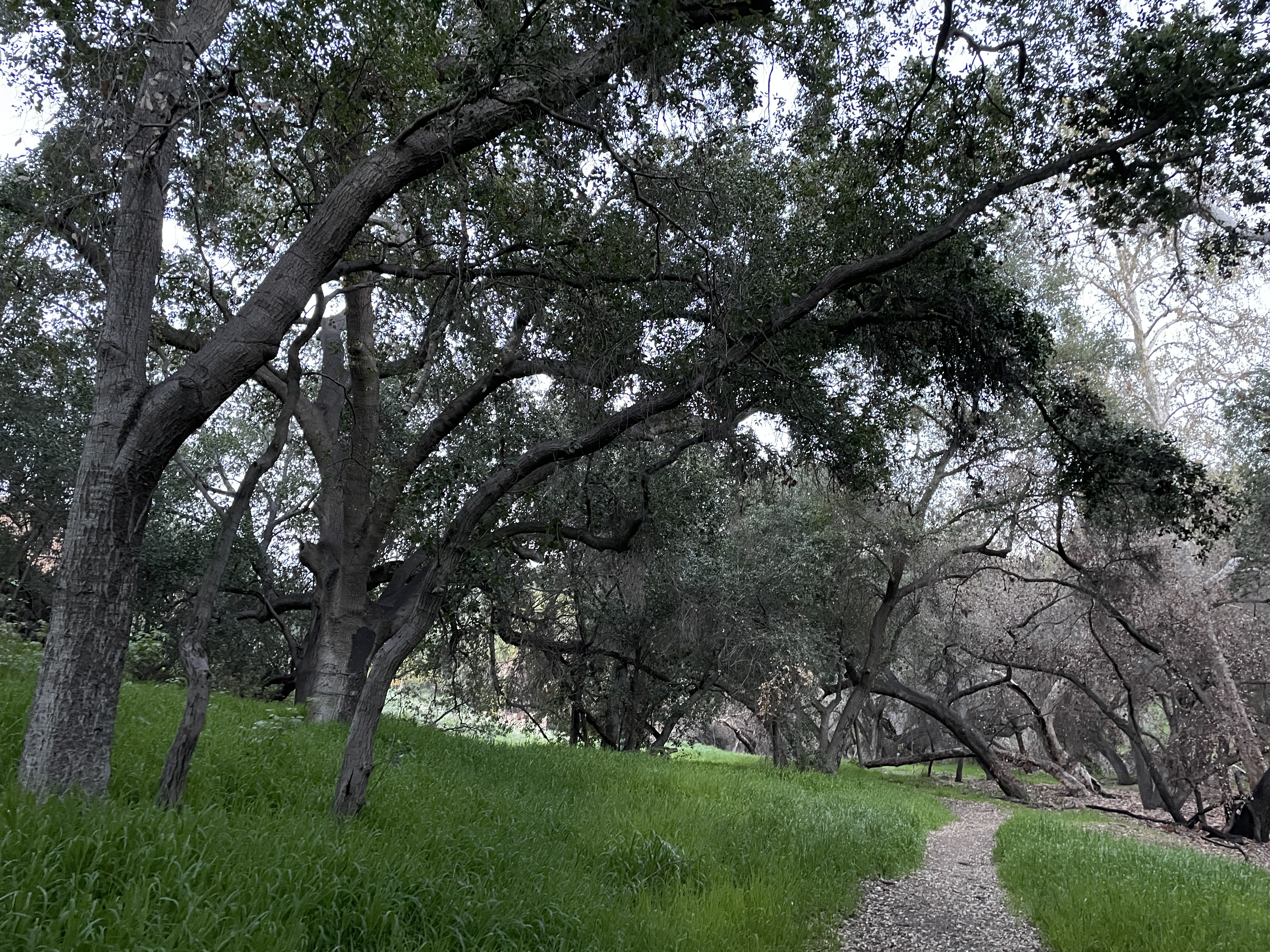
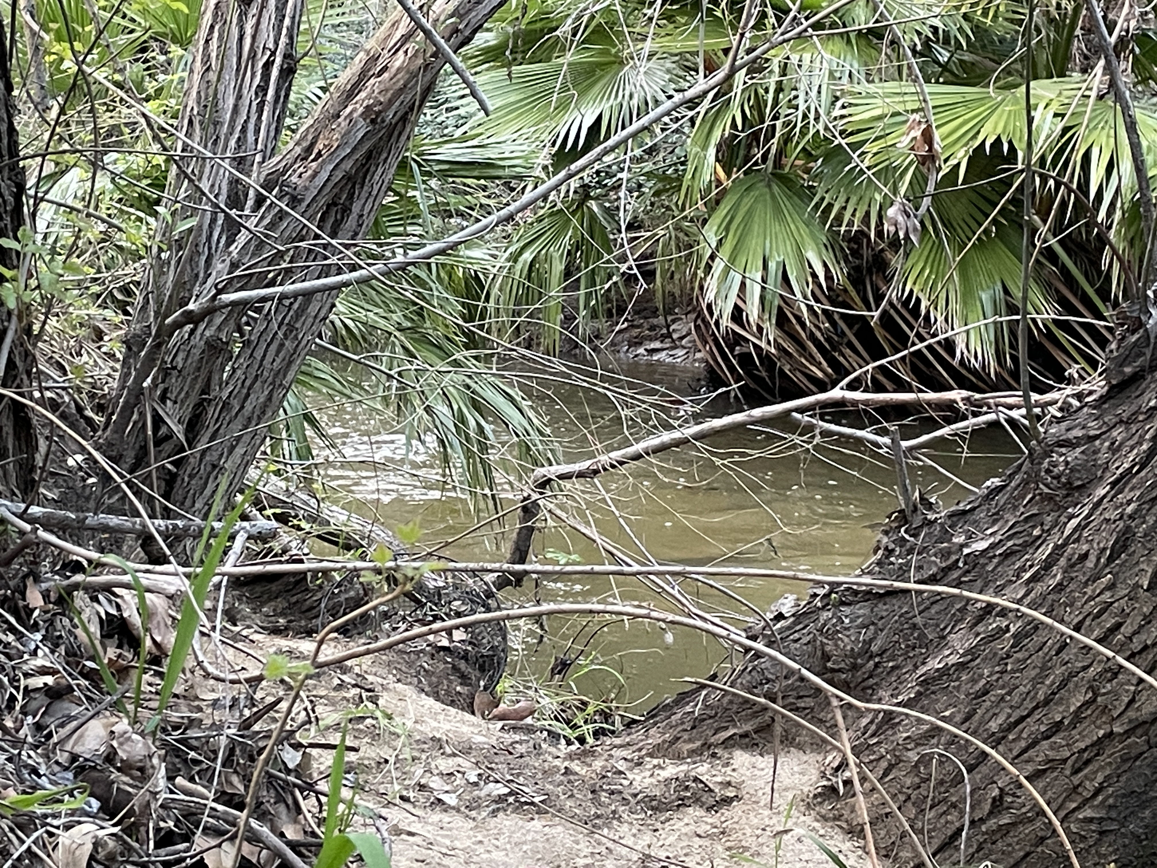


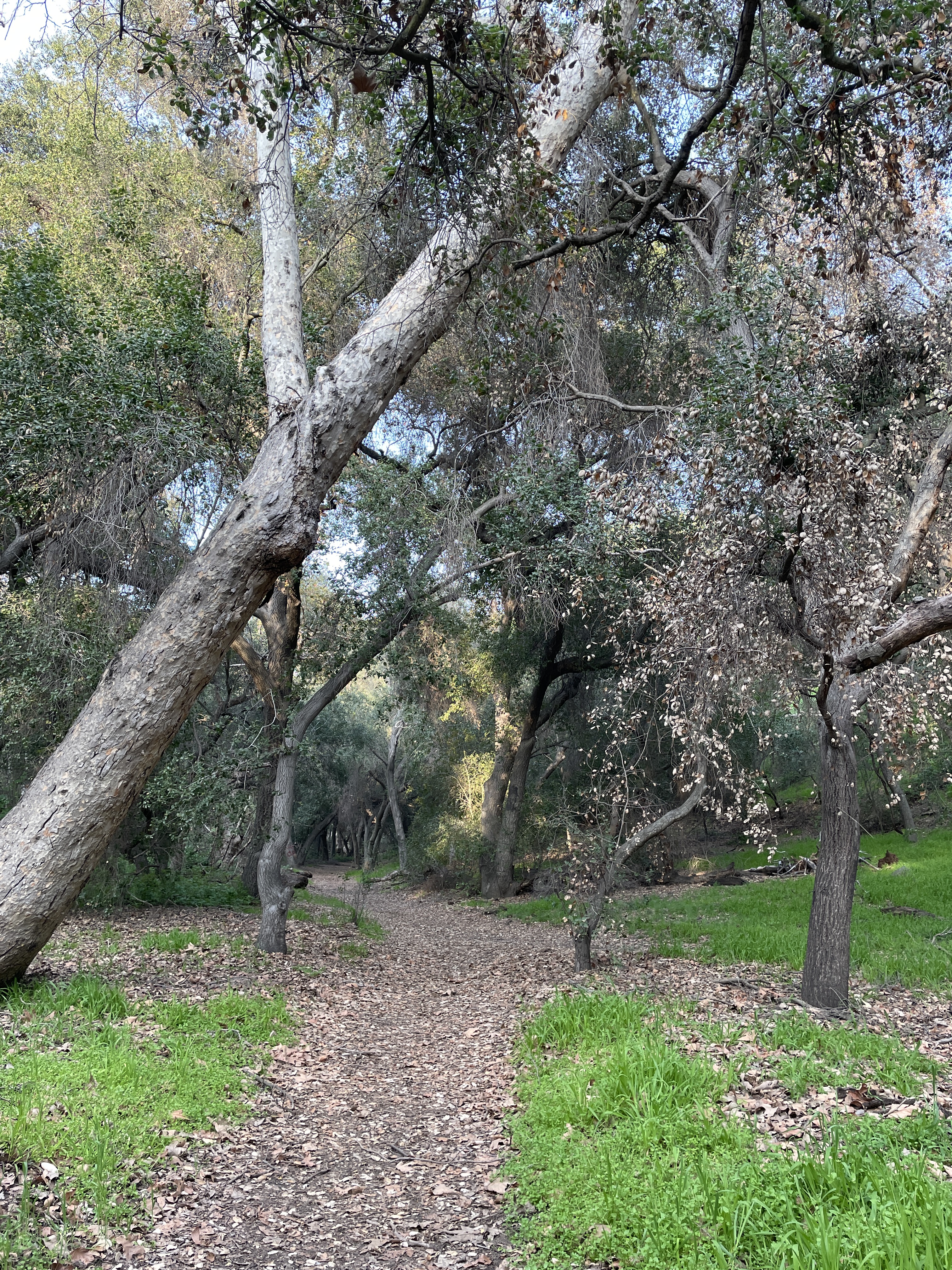
Los Angeles County contains many well maintained trails. This one includes Walnut Creek along which a hiker can walk many miles when water is low and easily cross the water crossings. Not this spring. Unless you are on horseback or have tall waders, it is impossible to cross the meandering creek crossings. Along the train in one area is a bridge and a round pen for horses.

Near this area are picnic tables and a meadow.

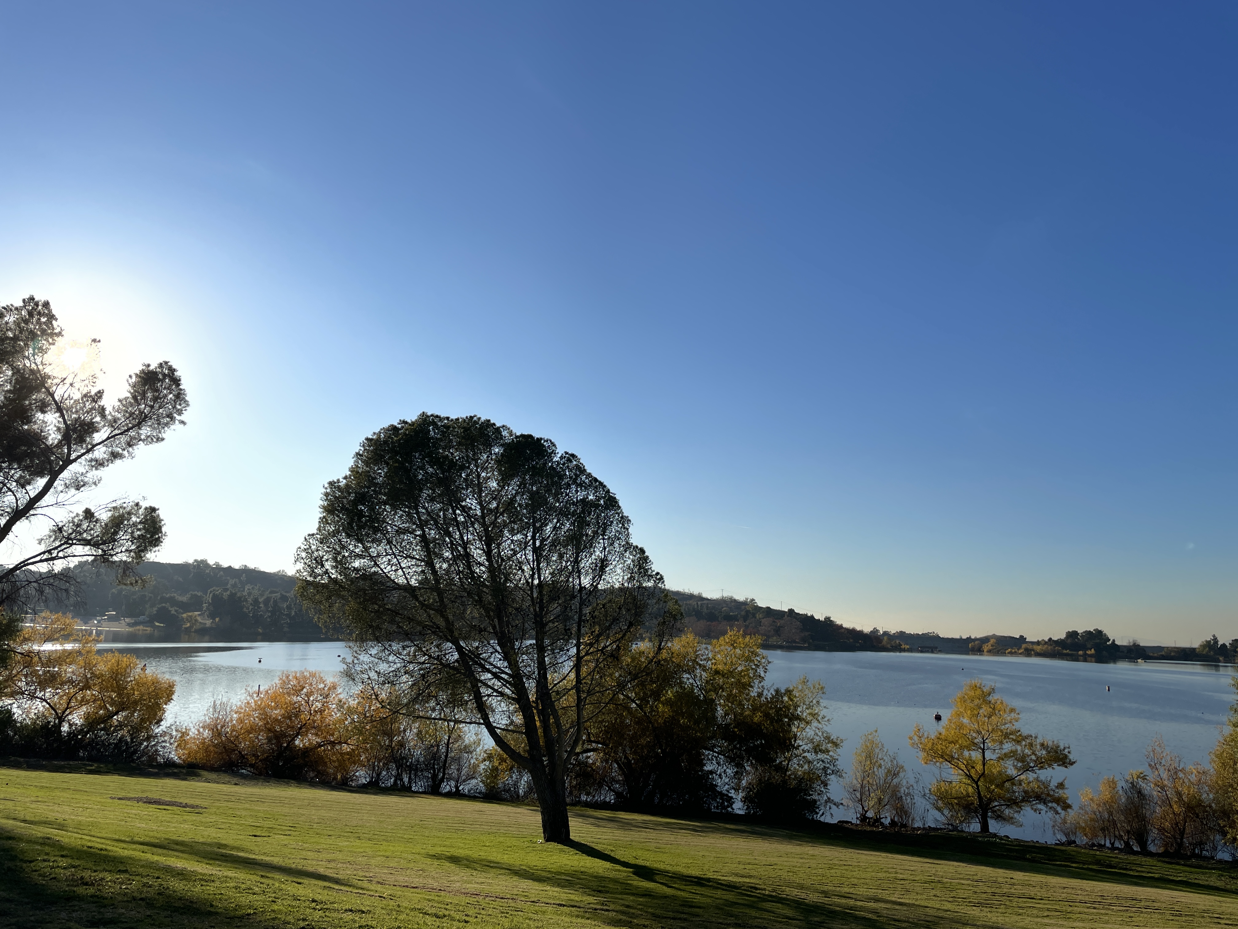
Hiking high trail
Dark clouds shroud mountains
Azure lake glimmers
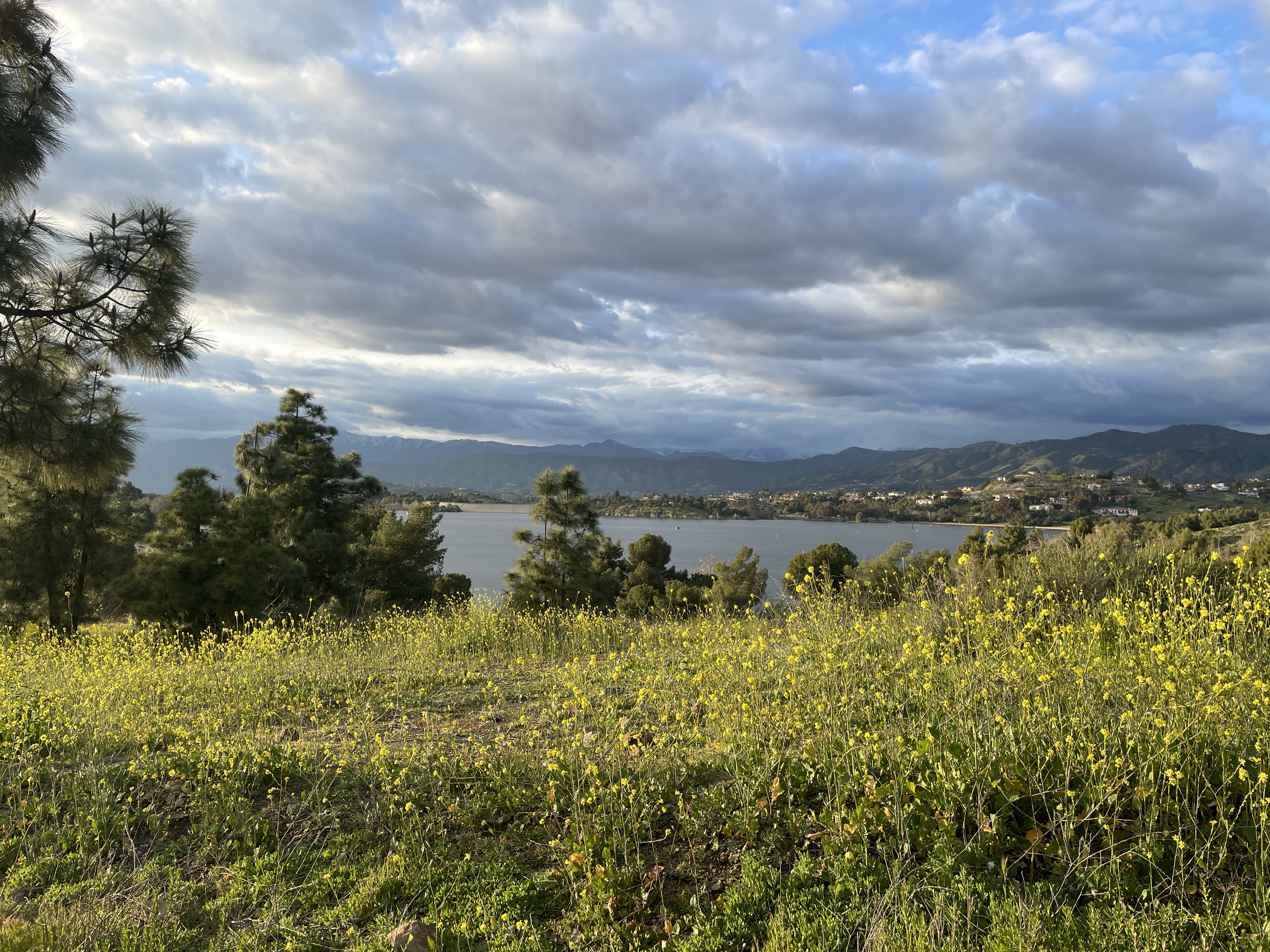

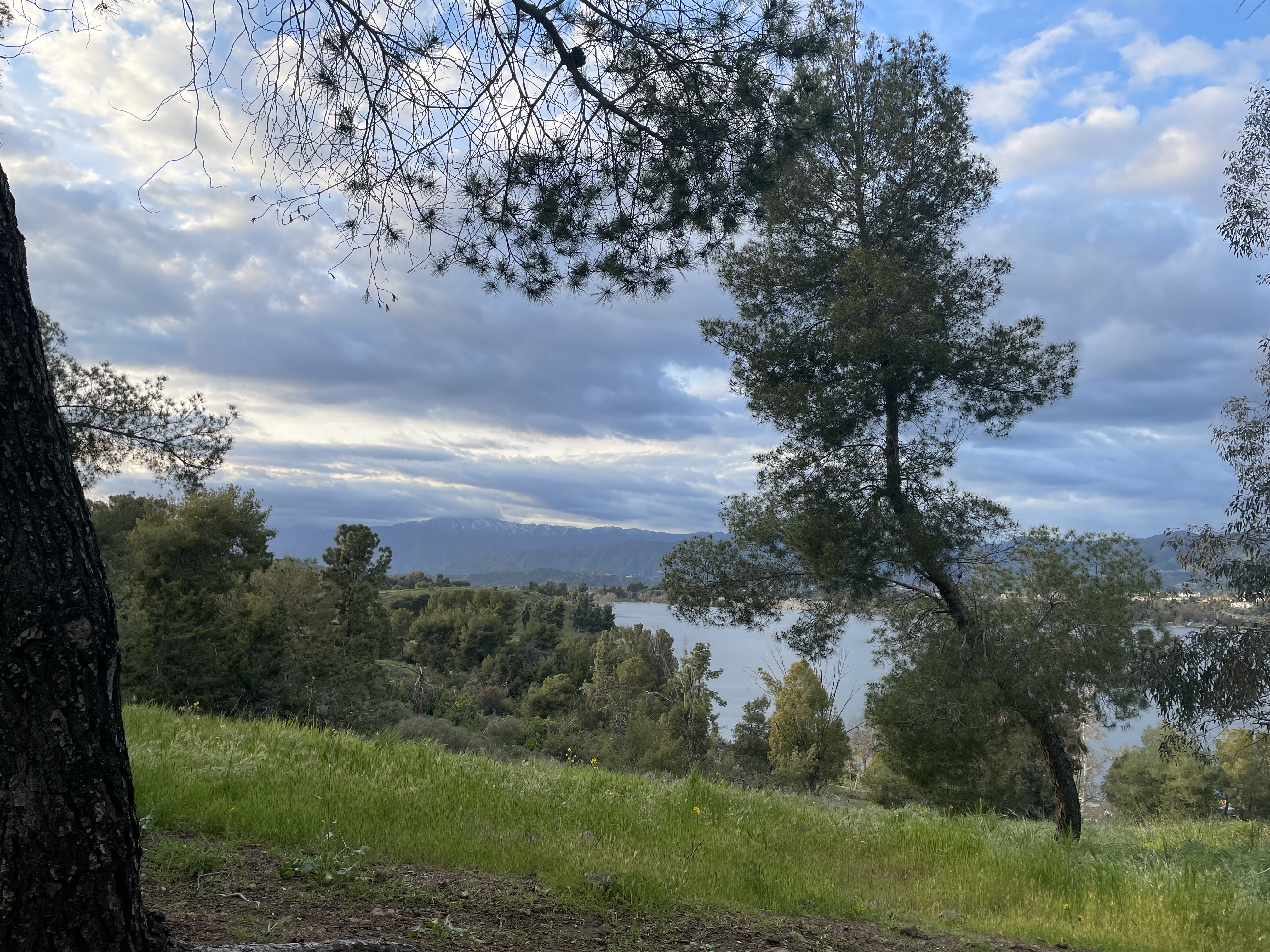


Instead of walking around the neighborhood, today my neighbor and I took a long walk along one of the paths in Bonelli Regional Park ten minutes from where we live. There are over 30 miles of hiking and bike trails in the park. We took the easy paved walk overlooking the lake.

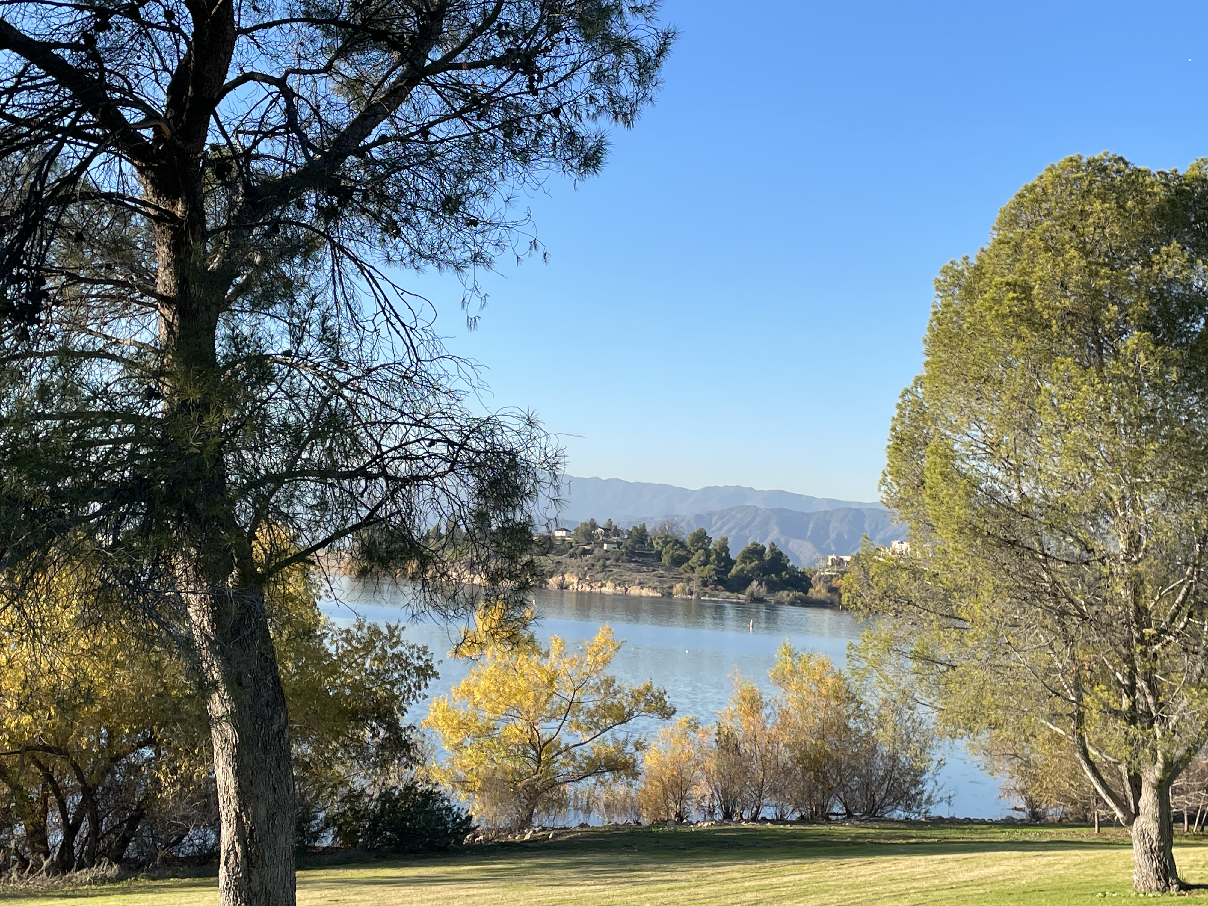
In summer people swim and boat here. Now it is mostly hiking, dog walking, biking, and fishing.

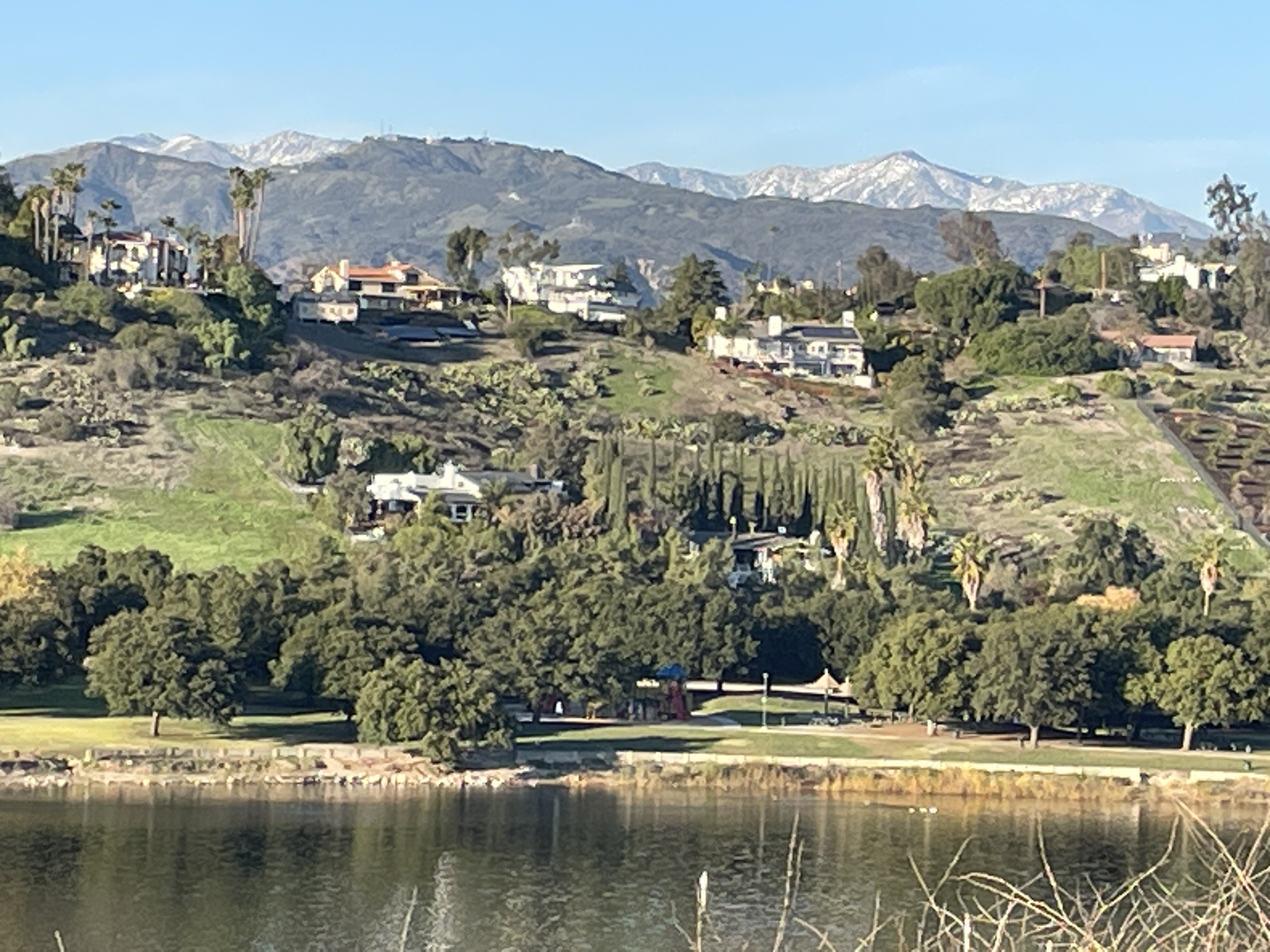
On this side of the lake many houses, some very large, overlook the lake. A few have vineyards or orchards on the slope near the houses.
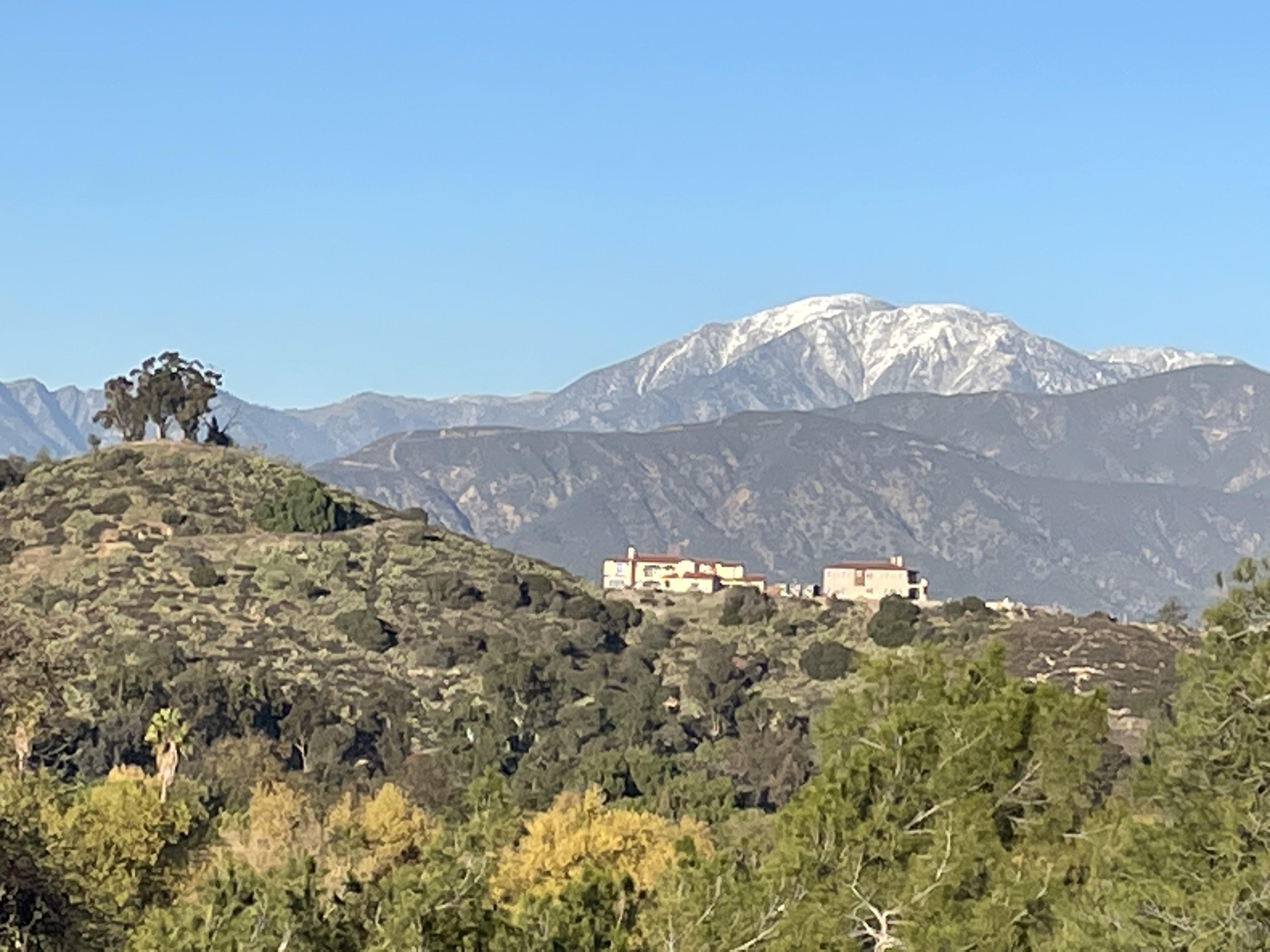
Mt Baldy rises in the background. Several of the mountains remain snowcapped.
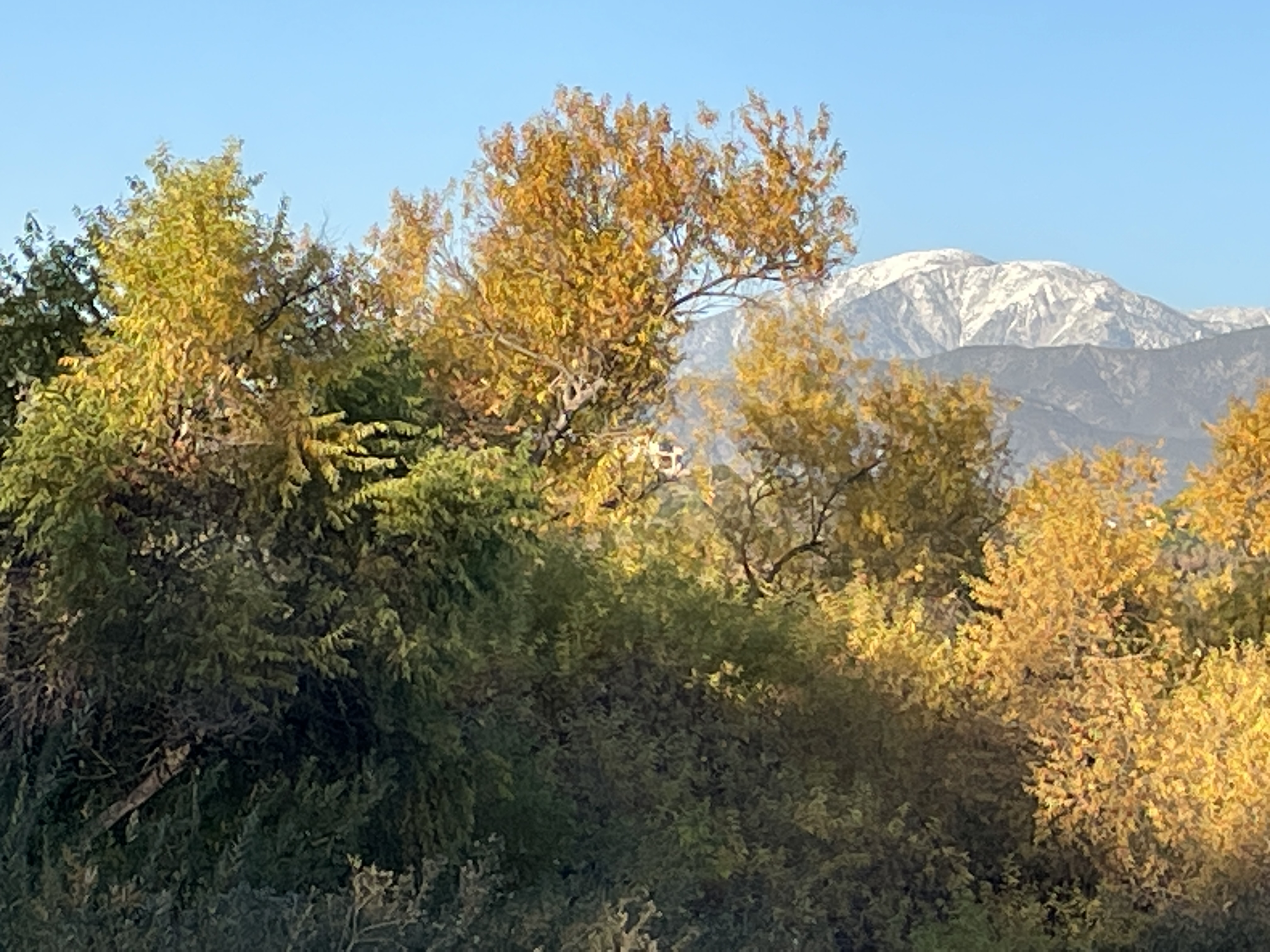


Several species of ducks, but mostly mallards, and a few geese reside here. In this area we saw a man fishing.

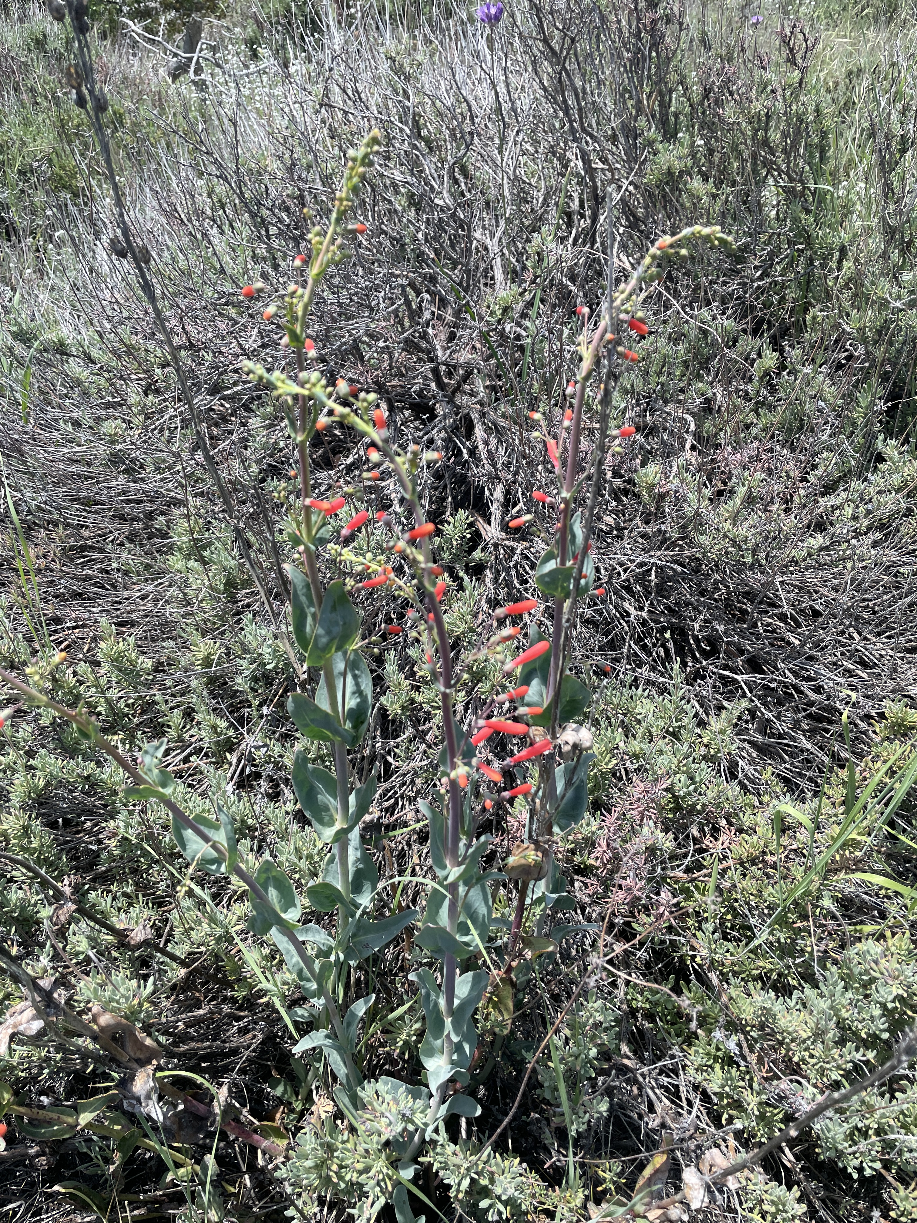
For several weeks I noticed big bright white blossoms on tall stalks as I looked across the canyon in the evenings just before dusk. While it was still hot even at 8 during this latest heat wave, I hiked across the canyon for a look, taking various photos as I strolled along.
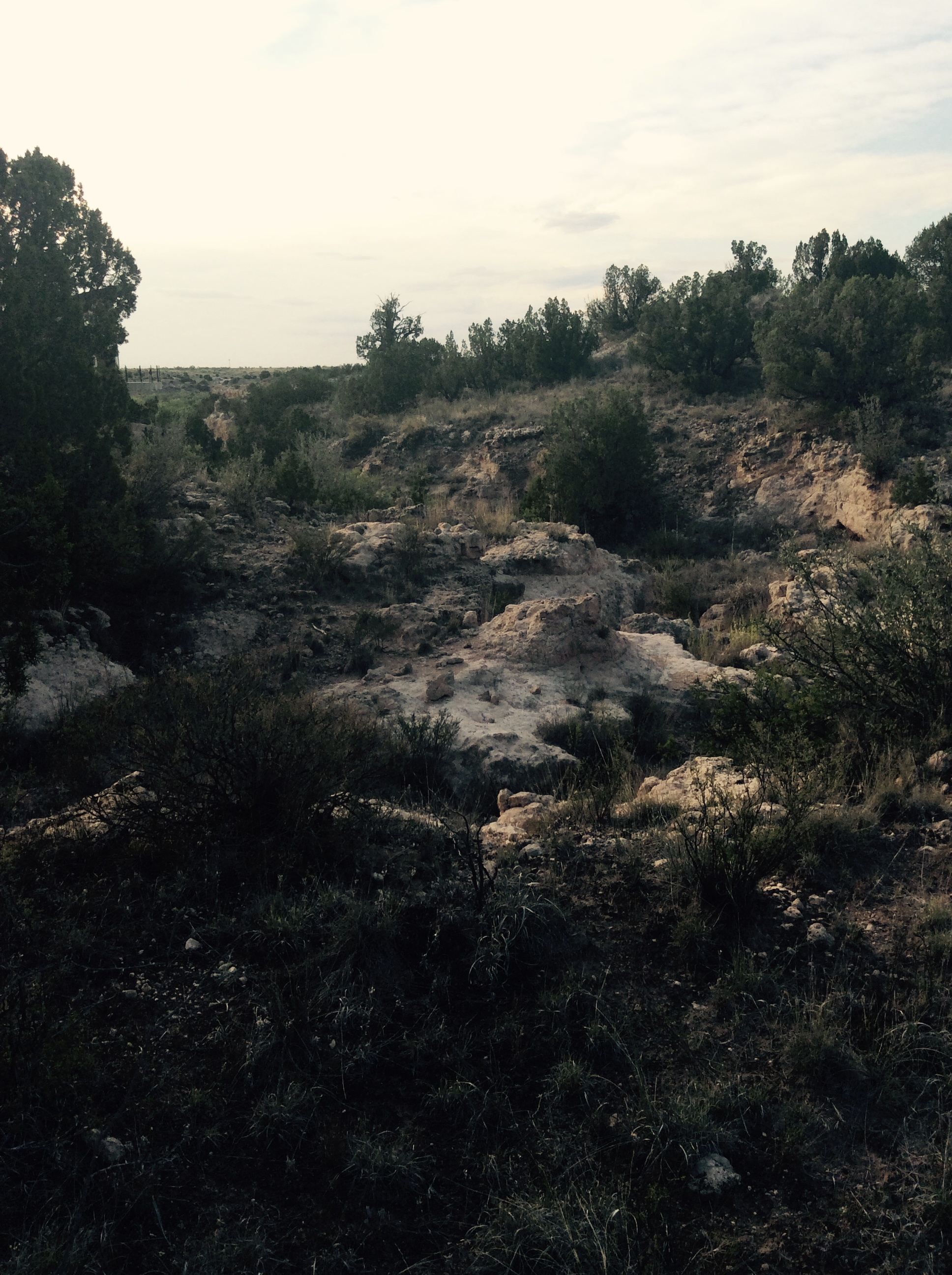
When it rains, water drains into this arroyo and crashes over the cliff near my bedroom.


Never bulldozed or cleared, this land allows ancient junipers to continue to thrive.

No water dropping off the cliff on these hot, dry days.

The flowers I could see from my house across the canyon. My wildflower book tells me these are a type of Stickleaf. To take a photo of the other flower, I had to climb up an incline covered with gypsum.

My dog, Athena, and I continued our hike along the canyon edge.
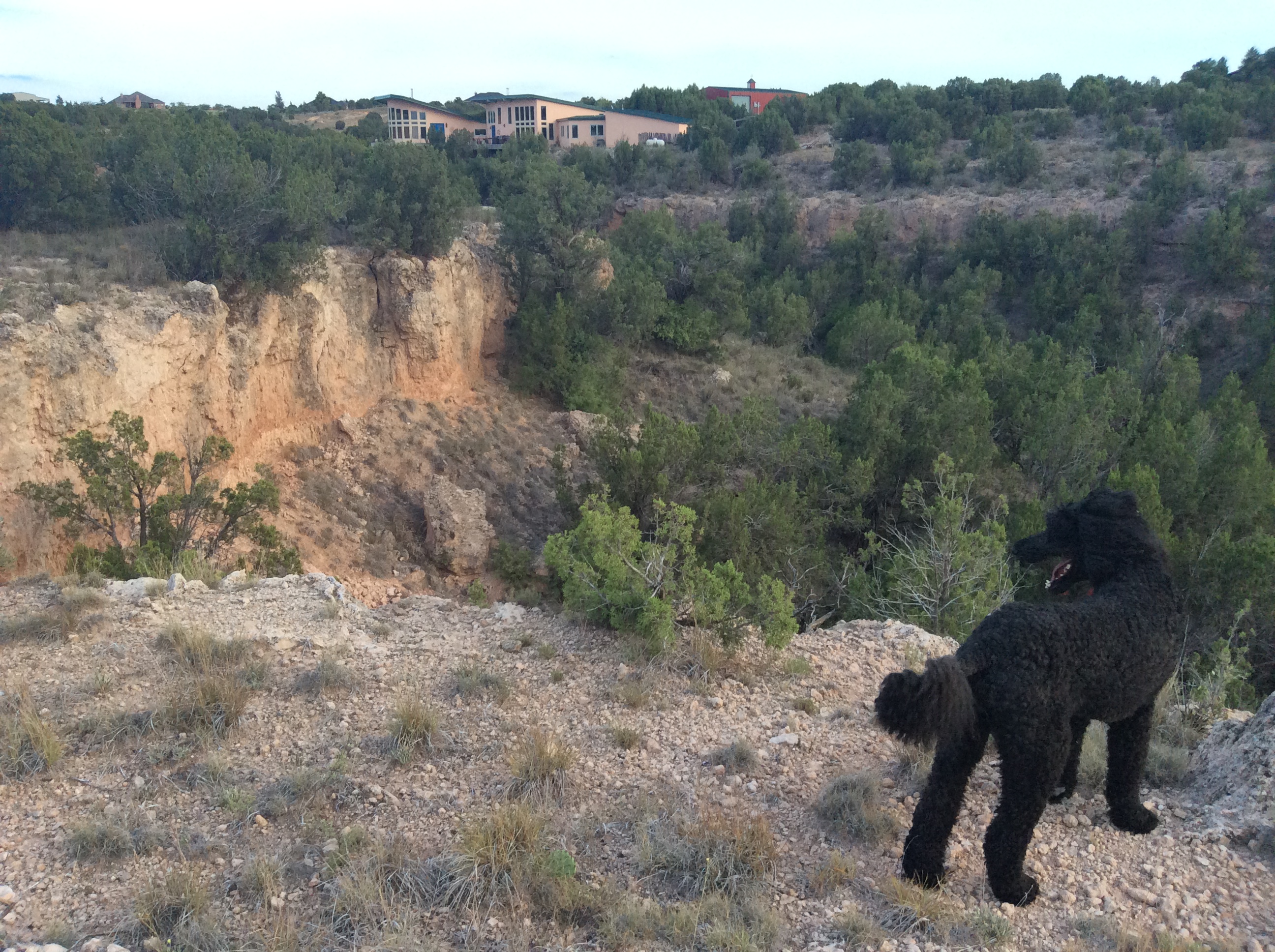

It was beginning to get dark as we headed back to the house.

I can also see this bush from across the canyon. I see no others like it and do not know what it is.

Headed back home along the canyon’s rocky edge.
Travel the World 4 Less
A Glimpse into My Life & Passions
Ceto-Magoism, the Whale-guided Way of WE in S/HE
Exploring the F-word in religion at the intersection of scholarship, activism, and community.
ANCESTRAL FOOD. HERBAL WISDOM. MAGICAL COOKERY. SEASONAL CELEBRATION.
inesemjphotography
politics, engineering, parenting, relevant things over coffee.
Food is the best expression of every emotion. Explore through my reviews, recipes, events and more.
Smile! A Site for Friends Wherever You Are!
inspiring personal growth through poetry and writing
Combining atheism with whimsy. This is a Fair and Balanced blog based on opinion unencumbered by fact.
Odds and ends ~ My Life
Original poetry, commentary, and fiction. All copyrights reserved.
bripike@gmail.com
A wildlife filmmaker in Africa
A Geeky Feminist's Musings On Pop Culture
"5 minute walks"
