Several weeks ago, I spent a day wandering around the ancient sites where native peoples gathered over a thousand years ago.

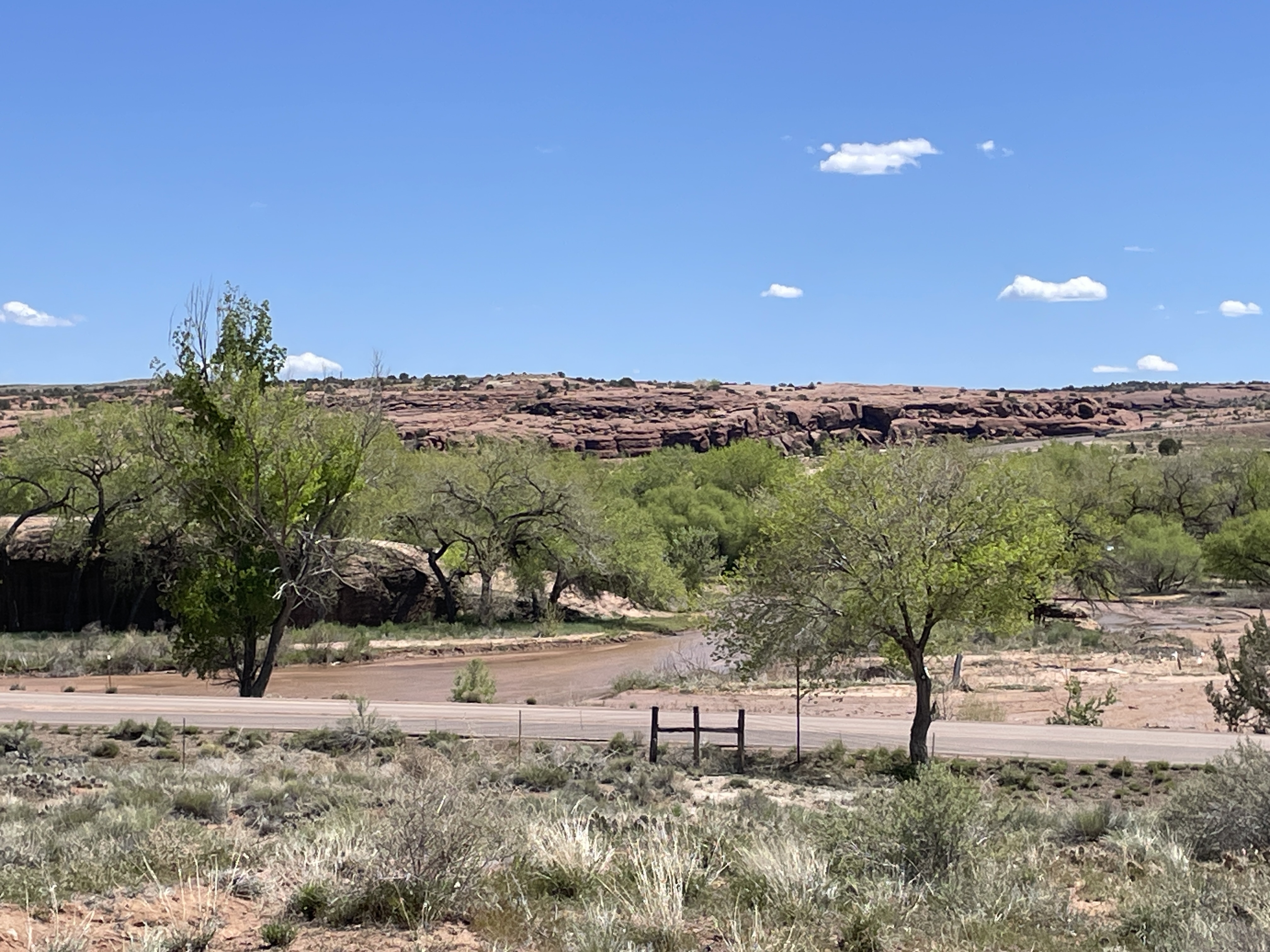
This explains the extensive influence this place, located in the northwestern New Mexico desert, held for people from as far away as Central America. To reach this park, you have to drive on a dirt/gravel, rough road for more than 25 miles north of Crownpoint, NM. It is definitely worth the effort. However, it is impassable in rainy or snowy weather. The rangers who care for the park live there.
One of the first things you see as you get closer to the park is this rock tower, Fajada Butte.

Archeologists climbed to the top and discovered petroglyphs, “Sun Daggers”. Created between rock slabs, they align with each solstice and equinox and at these events the light projects to other sites, e.g. Pueblo Bonito. Other petroglyphs on a section of the canyon wall represent a supernova that occurred in 1054 CE.

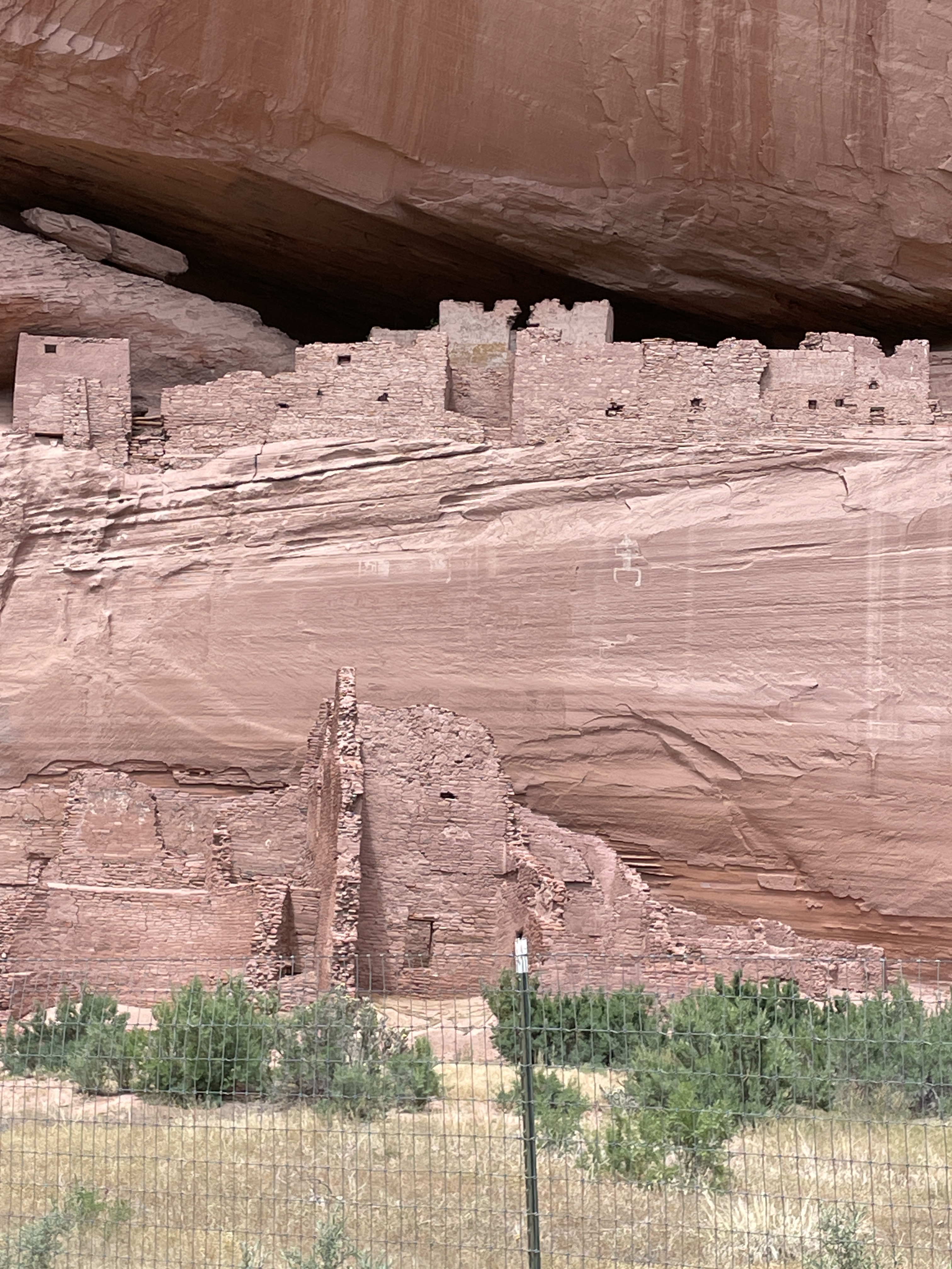
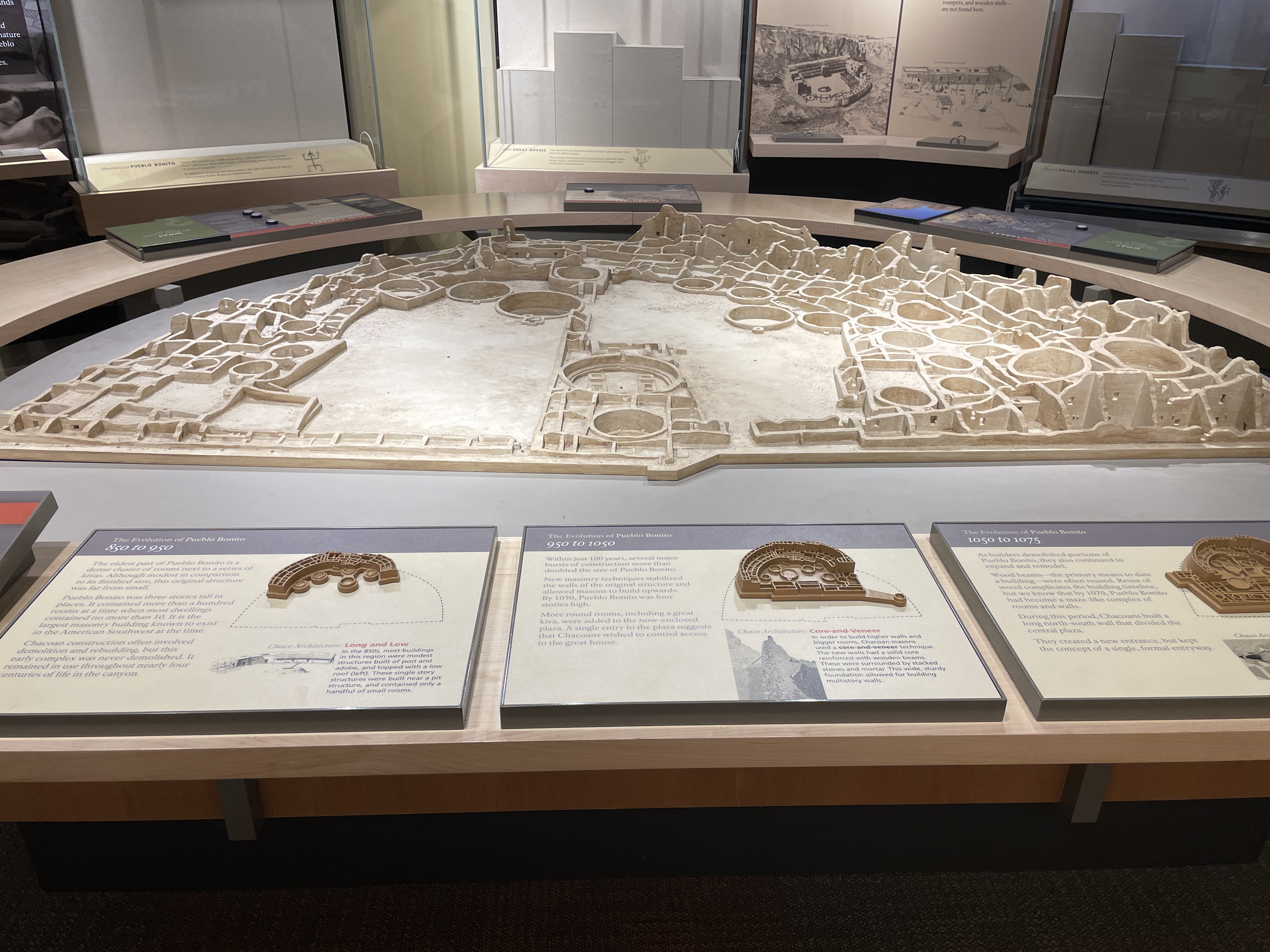
The following depicts an overview of the site as it would have been in the past. In the 1940s part of the wall of rock behind the site collapsed onto it and destroyed some of the buildings.
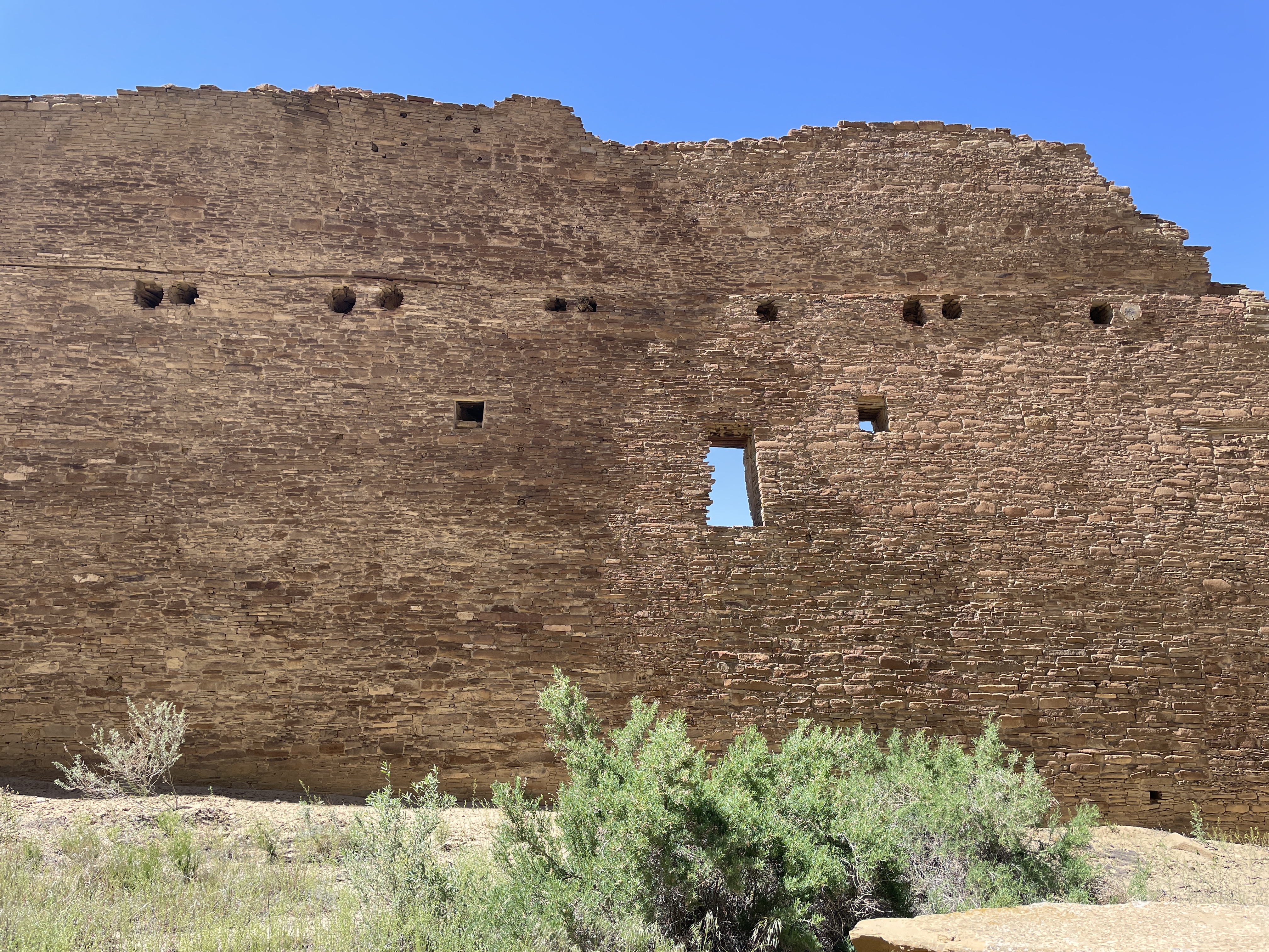
Here is how it looks today. Many of the doors and windows align with astronomical events, e.g. solstices, the two equinox, and astronomical events that occur only every 17 years.
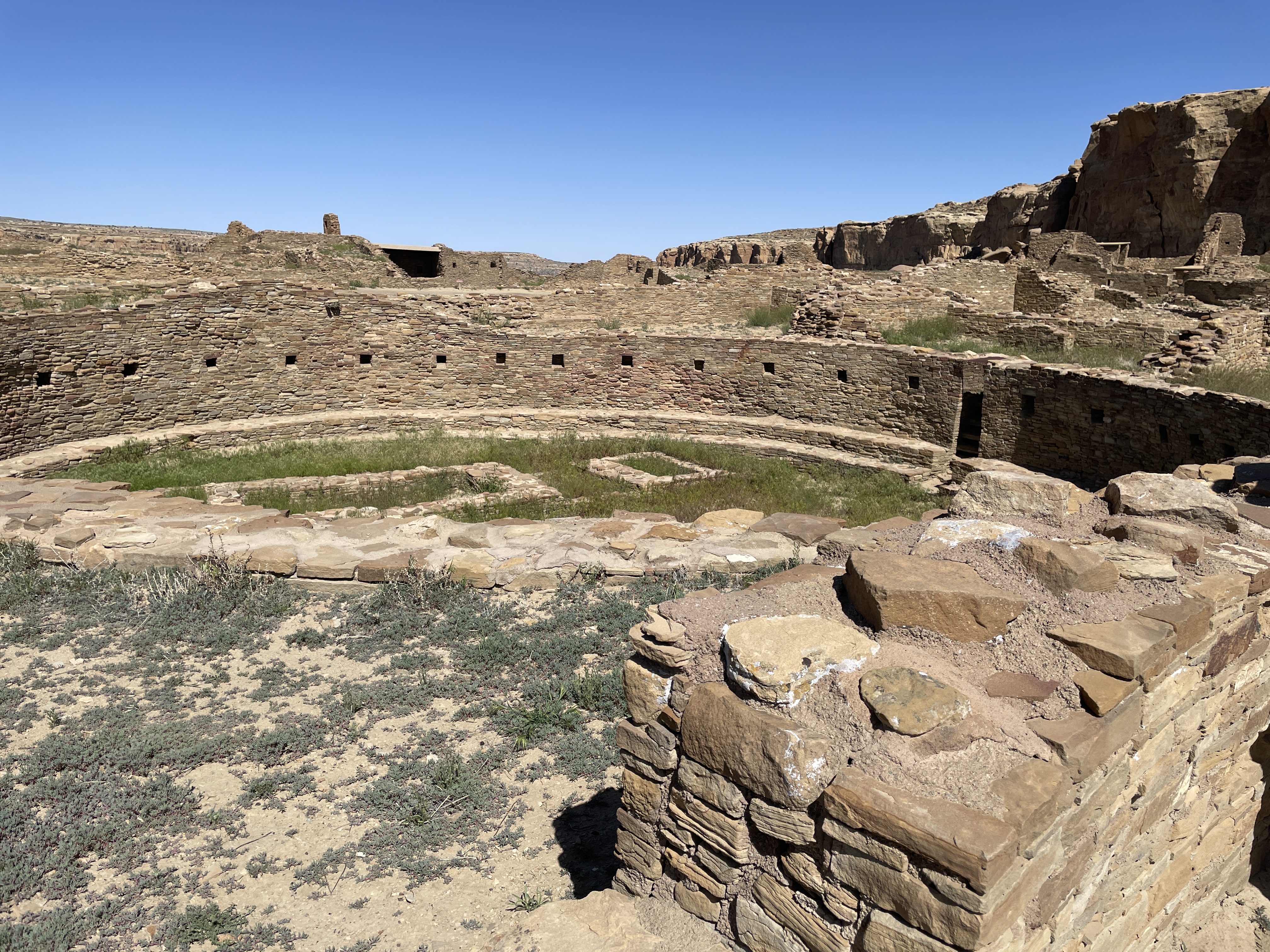
All sites here contain many kivas, many of which are very large. It is speculated that these were used for various sorts of ceremonies, including religious events.

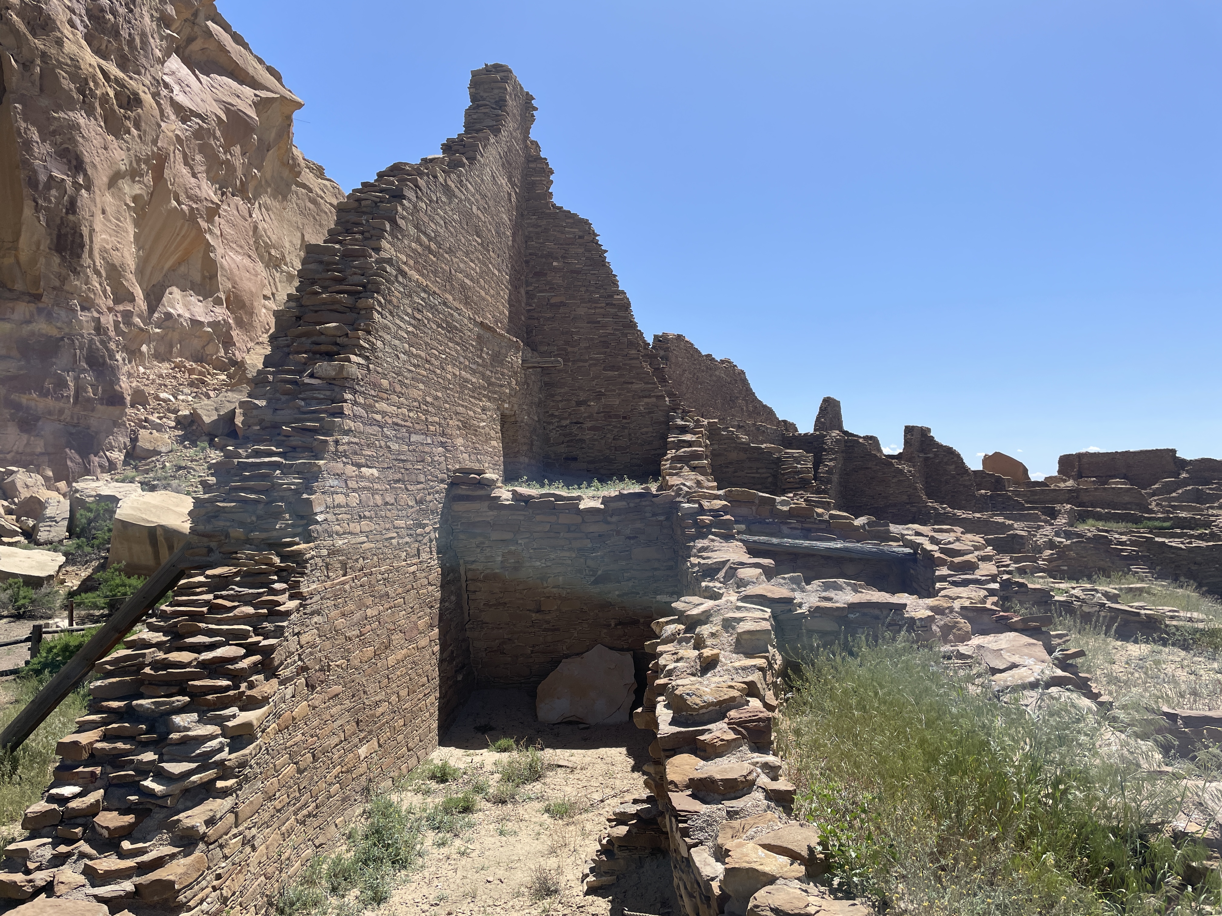
In this view you can see how the rocks that fell from the cliff have destroyed parts of the structures.

Many of the buildings were several stories high. In their heyday, they did not look like this. They were covered with something like stucco and painted white. What an impressive site they must have been–large white structures in the middle of the brown desert. Archeologists think few people lived here. It was a place for gathering, for ceremonies, for trade, for people from long distances to meet.
Across from Pueblo Bonito is the largest kiva found in the area.


Behind the bars on the far side of the photo is an area that was used for ceremonial dancers to don their costumes. At the bottom you can see a depression with a small door. Before centuries of sand filled it in, this place would have be large enough for the ceremonial dancers to enter through it.
If you follow a trail along the cliff from Pueblo Bonito, you will find another area built at different times hundreds of years ago.


Another large kiva and many smaller ones are located at this site, including this famous long wall built at two different times.

The following shows where at some point the wall stopped, then later it was continued using somewhat different building material and techniques.


The top photo is considered the newer part of the wall.
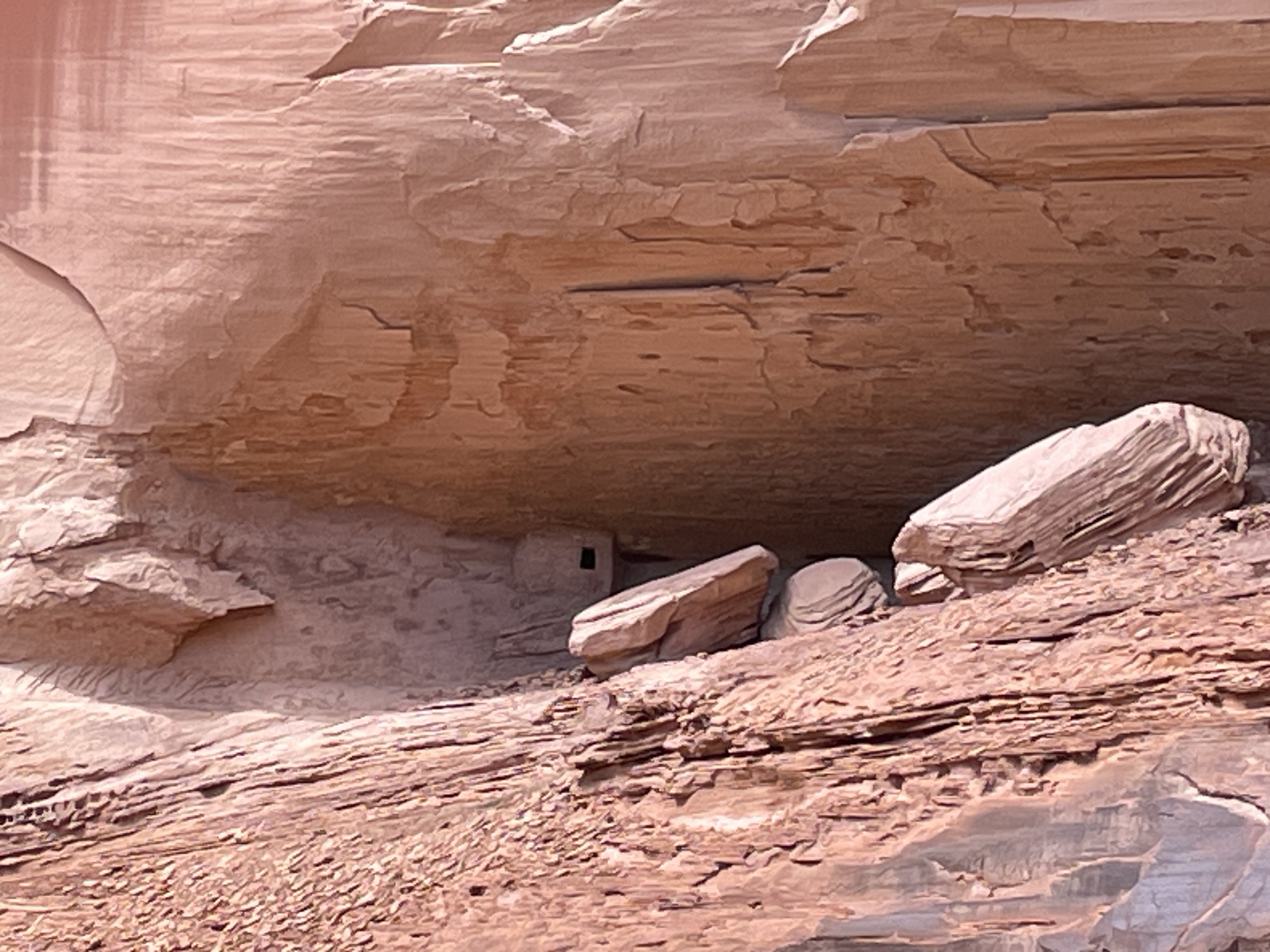
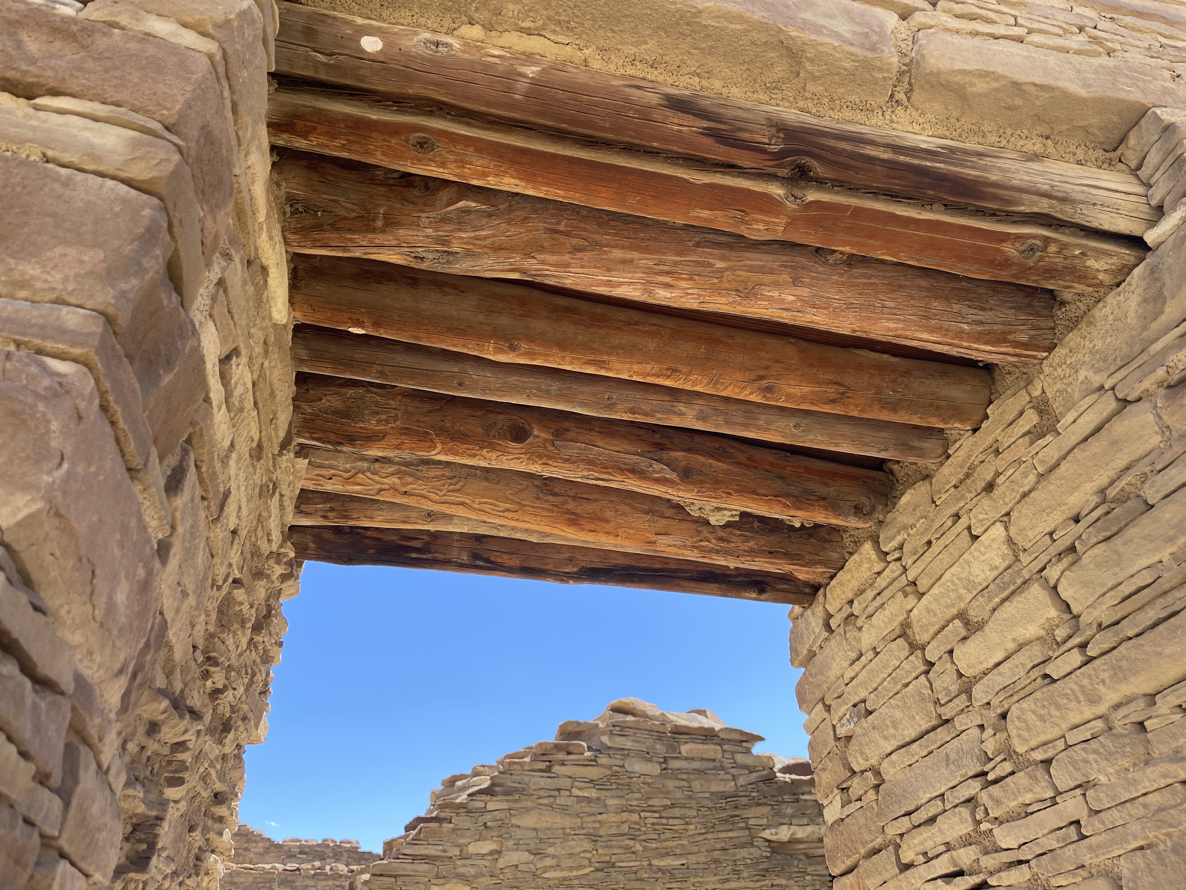
The wood used for tops of windows and doors was brought from forests hundreds of miles away. The desert air has enable it to be preserved.

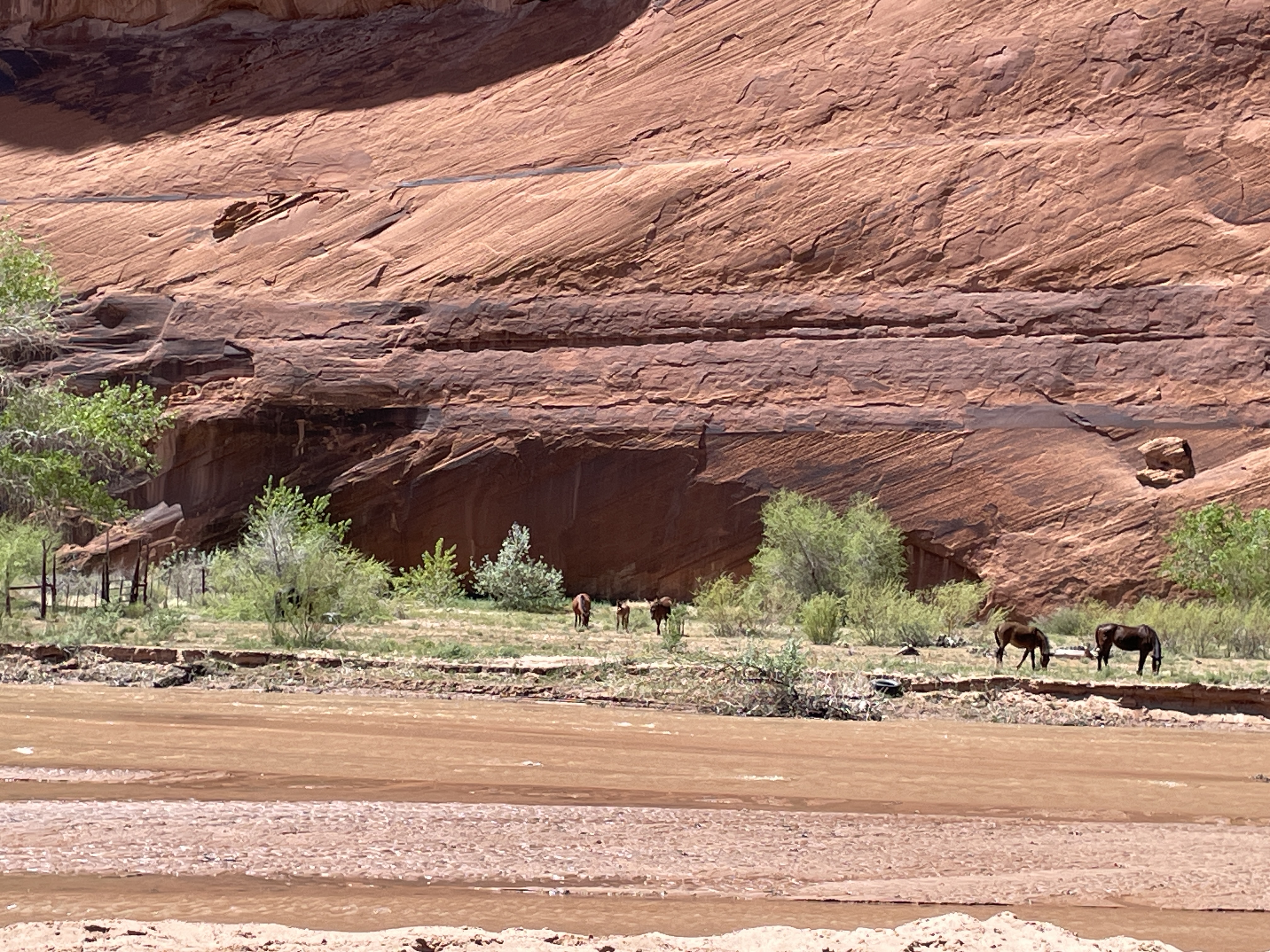
When you walk the trails, you see wild flowers and native plants. This is desert rhubarb and it is edible.


While these are photos of the more impressive structures at Chaco Canyon, more than two hundred ceremonial and meeting sites can be found in this area of NM and AZ.