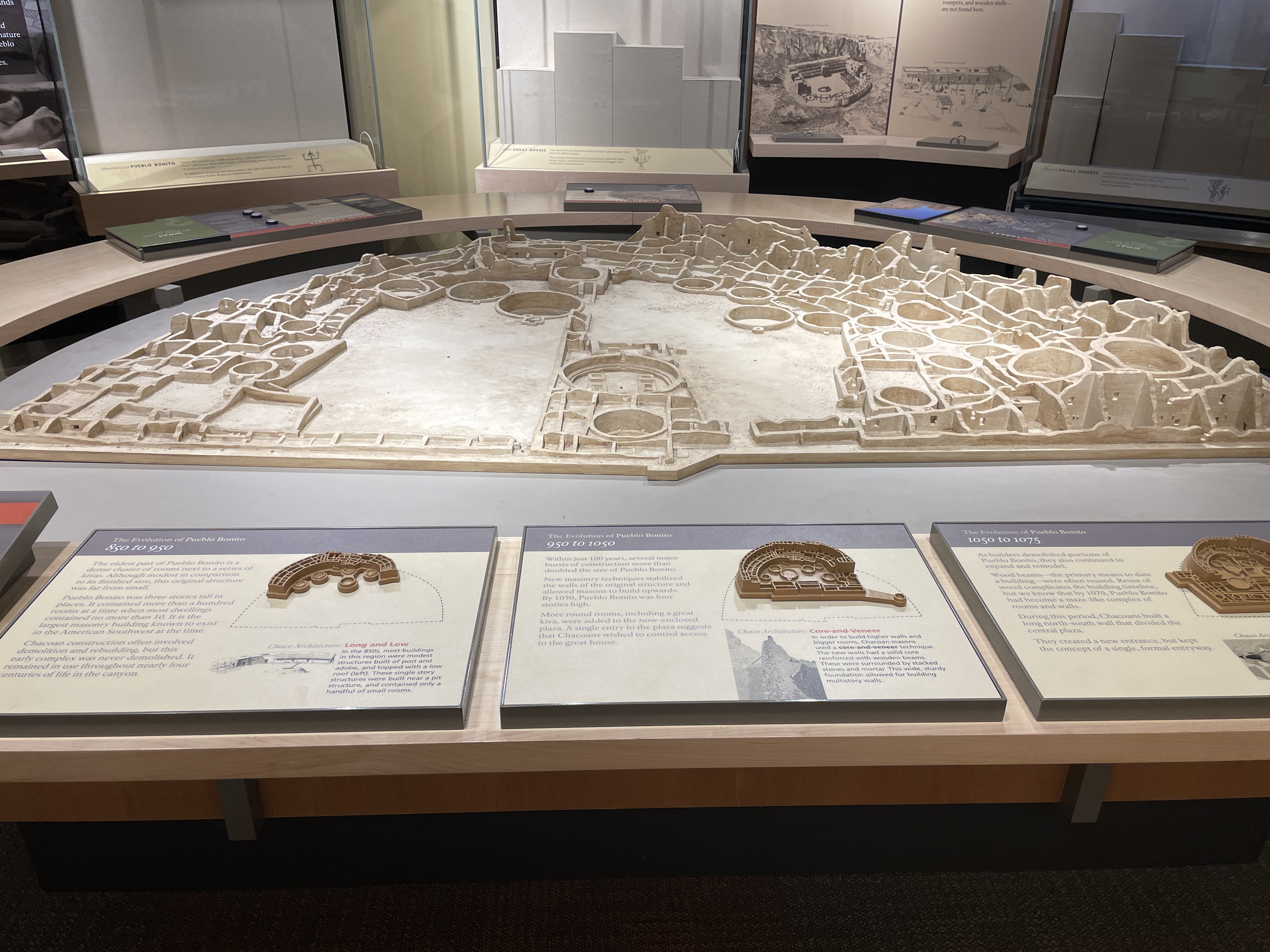
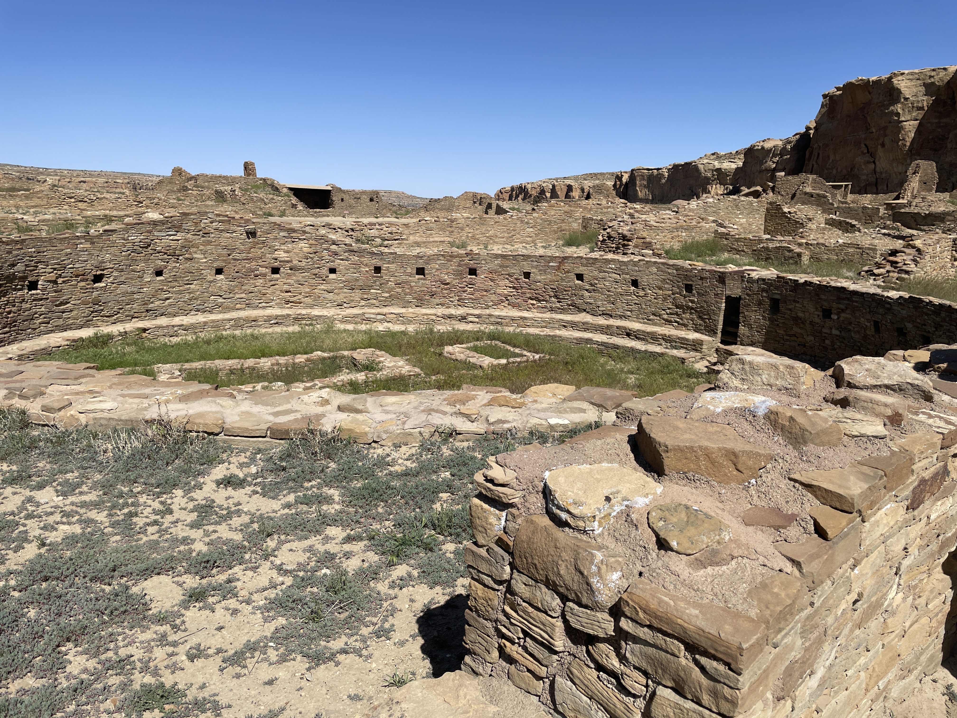
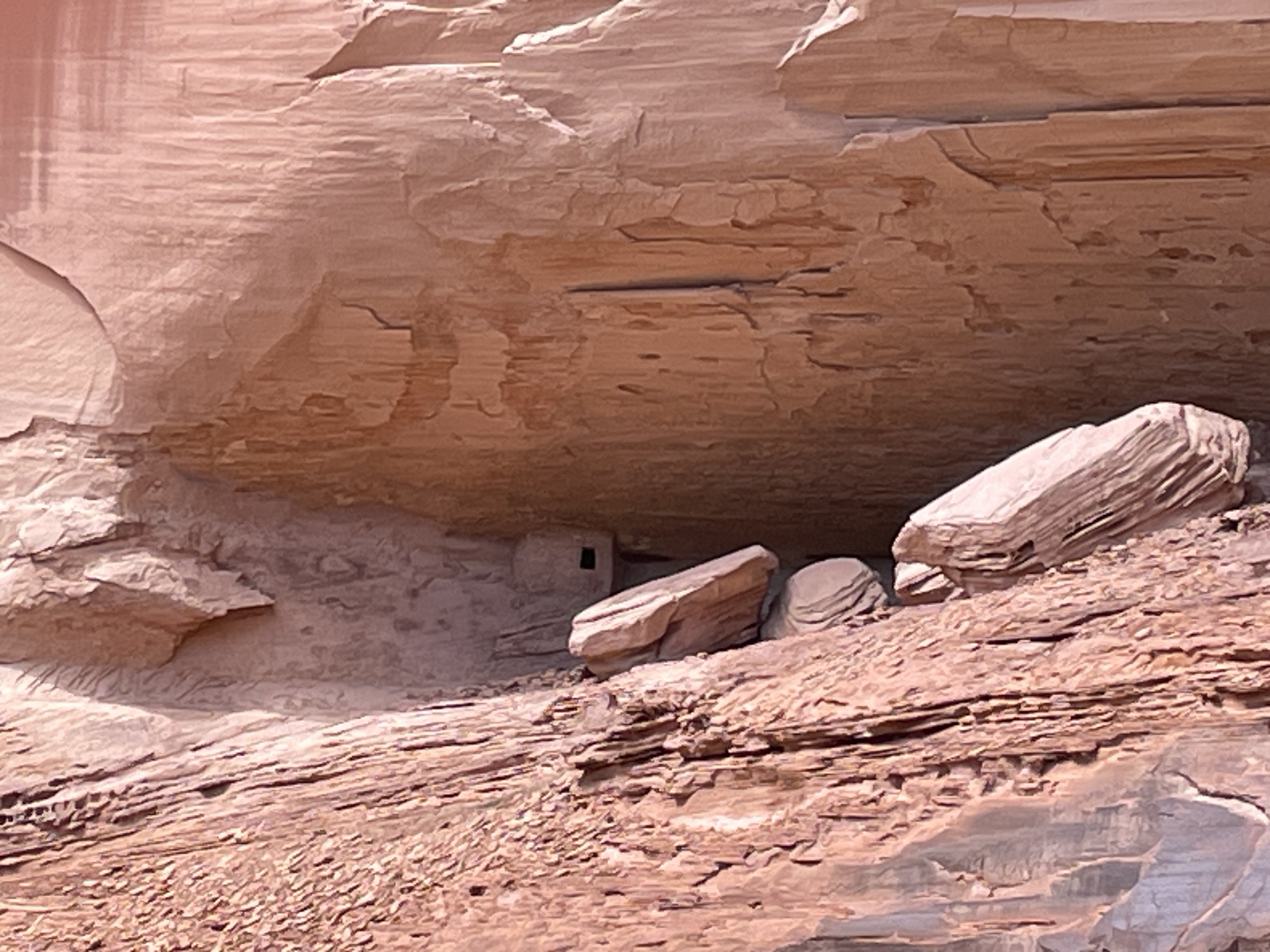
Book 37 for 2025: “Black Sea: Dispatches and Recipes”, Caroline Eden


This is a sort of travelogue, memoir, and recipe book. The author begins in Odessa and travels south from there to the port of Constanza in Romania as well as various other seaside towns in Bulgaria, then to Istanbul. After spending more time there she heads east to all the ports and some inland cities near
Turkey’s Black Sea coast.

I hope to learn new information and become a little more enlightened when I read–especially when reading non-fiction. This book did not disappoint. Here are a few of the things I learned:

-Odessa is a very old and once a very international city. At one point it had the second largest Jewish population in Europe. Now only about 1/3 of the residents are Jewish. Many of the restaurants serve traditional Jewish food even if not Jewish. Once in the past, Mark Twain visited there and made it famous for its ice cream.

-In Constanza, Romania, she witnessed a huge Navy Day celebration with booming gun salutes. Once upon a time, this city was famous for its Casino which now is just a glorious ruin. Here a breakfast mainstay is polenta with a mushroom topping. The author apparently liked the food because this section contains more recipes.

-Varna is the main seaport city in Bulgaria. The author’s main quest here was to see the gold, yes, gold. Once upon a time, this city was a major Roman port. Now the Museum of Archeology houses a spectacular collection of ancient gold. “Breastplates, bracelets, burial gifts, regal-looking head pieces, figurines, and pendants–all gold–shone for attention. The silent Midas room was deafening, ringing out with finery, treasure and opulence. And the loudest, biggest treasure of all, was the smallest. Tiny pendant earrings, almost inconceivably old, dating back 6000 years….these earring are the oldest ‘worked gold’ in the world. They belonged to the first known culture to craft golden artifacts, and they lived here, on Bulgaria’s section of the Black Sea in what some archeologists consider the oldest prehistoric town. But it was not gold that made this area wealthy; it was salt which was mined nearby. The world salary comes from the Latin word ‘salarium’–a Roman soldier’s stipend to buy salt.

-She goes to Istanbul and then on to Turkey’s Black Sea towns, Amasra, several a bit inland, Sinop, Trabzon, and Rize. Sinop has a particularly good harbor. There is a saying that the Black Sea has three safe harbors, July, August, and Sinop. This is in an area often targeted by Cossacks who crossed the Black Sea to raid these more prosperous areas. The town also houses an infamous prison where Russian convicts taught Turkish cellmates how to make model ships for which the town is now famous.-More than 3/4 of the world’s hazelnuts are grown in this area of Turkey. However, that did surprise me as much as the tea, yes, tea. When I think of Turkey, I think of that thick, strong Turkish coffee. However, Turkey is the fifth largest grower and exporter of tea in the world. The tea grows in the fog and mist on steep slopes that end at the sea. Several photos in the book illustrate the lush green mountains covered in tea bushes.

-When I think of Hagia Sophia, I think of the spectacular building in Istanbul, the one that has withstood invasions and earthquakes. But there is another one. On the western edges of the city of Trabzon, there is a smaller, more tranquil Hagia Sophia, one of the Black Sea area’s most spectacular monuments. It was built as a church in the 13th century, converted to a mosque, then to a cholera hospital, then a museum and finally back to a mosque in 2013. The ceiling and walls are covered with frescoes that for a long time no one knew existed until they were restored.

In addition to all the tales of her adventures and the ordinary people she meets, the book is filled with recipes that are specialties of the areas she visited. I’ve taken some ideas from several to experiment with new dishes like combining Swiss chard and sultanas (golden raisins) with chopped onions and garlic sautéed in olive oil and served over Basmati rice.

Book Two for 2025: “Memory Wall Stories”, Anthony Doerr


While wandering around in the library, I found this book. His two more recent novels, ” All the Light We Cannot See” and “Cloud Cuckoo Land” remain two of the most touching and fascinating novels I have ever read so decided to try what he started with, short stories. These stories do not disappoint.

The title of the book comes from the first of the stories. It is a combination of science fiction and paleontology. Via an operation to his head a young boy in South Africa possesses the memories of an old woman. Through her memories he learns of a her deceased husband’s interest in rocks and fossils. This allows him to make a discovery that changes lives. In the next story, due to the death of her parents, a young girl in Kansas has to move to Lithuania to live with her grandfather and makes a myth come true. The following story, “Village 113”, won the O. Henry Prize. It details what happens to one woman, a keeper of seeds for an entire village, when the Three Gorges Dam was built in China. Another story tells what happens to a couple in Wyoming when they desperately want a child but cannot conceive. The shortest of the stories, “The Demilitarized Zone”, is well about that–sort of. The final story, like several others, is about memory, in this case the memories of a Holocaust survivor, who like many who survive horrible events when others they know do not, wonders why her.

I liked these stories so much that I ordered his earlier collection of short stories, “The Shell Collector.” He has won the O. Henry Prize for short stories five times and the Pulitzer for “Cloud Cuckoo Land” in 2015. I keep wondering how he knows so much about so many places. His short stories and novels are set in countries all over the world. The research must never end.

Visiting Chaco Canyon


Several weeks ago, I spent a day wandering around the ancient sites where native peoples gathered over a thousand years ago.

This explains the extensive influence this place, located in the northwestern New Mexico desert, held for people from as far away as Central America. To reach this park, you have to drive on a dirt/gravel, rough road for more than 25 miles north of Crownpoint, NM. It is definitely worth the effort. However, it is impassable in rainy or snowy weather. The rangers who care for the park live there.

One of the first things you see as you get closer to the park is this rock tower, Fajada Butte.

Archeologists climbed to the top and discovered petroglyphs, “Sun Daggers”. Created between rock slabs, they align with each solstice and equinox and at these events the light projects to other sites, e.g. Pueblo Bonito. Other petroglyphs on a section of the canyon wall represent a supernova that occurred in 1054 CE.

The following depicts an overview of the site as it would have been in the past. In the 1940s part of the wall of rock behind the site collapsed onto it and destroyed some of the buildings.

Here is how it looks today. Many of the doors and windows align with astronomical events, e.g. solstices, the two equinox, and astronomical events that occur only every 17 years.

All sites here contain many kivas, many of which are very large. It is speculated that these were used for various sorts of ceremonies, including religious events.

In this view you can see how the rocks that fell from the cliff have destroyed parts of the structures.

Many of the buildings were several stories high. In their heyday, they did not look like this. They were covered with something like stucco and painted white. What an impressive site they must have been–large white structures in the middle of the brown desert. Archeologists think few people lived here. It was a place for gathering, for ceremonies, for trade, for people from long distances to meet.

Across from Pueblo Bonito is the largest kiva found in the area.

Behind the bars on the far side of the photo is an area that was used for ceremonial dancers to don their costumes. At the bottom you can see a depression with a small door. Before centuries of sand filled it in, this place would have be large enough for the ceremonial dancers to enter through it.

If you follow a trail along the cliff from Pueblo Bonito, you will find another area built at different times hundreds of years ago.

Another large kiva and many smaller ones are located at this site, including this famous long wall built at two different times.

The following shows where at some point the wall stopped, then later it was continued using somewhat different building material and techniques.

The top photo is considered the newer part of the wall.

The wood used for tops of windows and doors was brought from forests hundreds of miles away. The desert air has enable it to be preserved.

When you walk the trails, you see wild flowers and native plants. This is desert rhubarb and it is edible.

While these are photos of the more impressive structures at Chaco Canyon, more than two hundred ceremonial and meeting sites can be found in this area of NM and AZ.

Canyon de Chelley–Part Two: Driving into The Bottom


Canyon de Chelley was named by the Spanish who could not quite pronounce the Diné (Navaho) word for it and hence this name which is pronounced like de shay. It is more than 30 miles long and has a river running through it at least a substantial part of the year. In summer native people live there with sheep, horses, etc. even though fewer and fewer of the younger generation choose to do so. To enter the bottom of the canyon, you must acquire a permit and hire a Navaho driver. This is to protect it from the vandalism that occurred in the past. Canyon de Chelley is jointly managed by the National Park Service and the Navaho Nation.

Canyon de Chelley begins at the edge of Chinle, AZ, near the Holiday Inn which, by the way, serves traditional food such as mutton stew and blue corn fry bread. Yes, I ate both. This photo shows the beginning.

It was quite a trip; I sat between two women in the back of a Jeep with a perfect view of everything right in front of me. Oscar, the driver, knew exactly how to traverse the water, the wash (what they call this stream), run up and down the banks.

Driving right up the middle of the wash.

Petroglyphs can be seen in so many places we stopped that I lost count. Oscar said they are nearly endless and can be found throughout the canyon walls.

A few days previous to our arrival it had snowed so everything was green and lush from snow melt.

In addition to petroglyphs, there are etchings in the rock walls.

In this case an etching/rock carving of horses.

Yes, we drove under this overhanging tree limb.

Sometimes the wash was narrower and deeper and we drove up and down steep banks and through deeper water.

Ancient pueblo people lived here for centuries, some more than 5,000 years ago. This is one of the largest pueblo structures in the canyon (The White House–due to a white washed wall which you cannot see from this vantage point). The fence was built to protect it from vandals. We saw many smaller dwelling places and Oscar said there are hundreds in the canyon.

Headed back down the wash. This was a half day trip so only saw less than half of the canyon. You can hire for an all day trip complete with picnic lunch and go all the way to some of the famous formations that can be seen from the road at the edge of the top. There is also a side canyon called Muerto–due to a massacre of the natives that occurred after the Navaho forced long march.

The Jeep needs a bath after this trip.

Note: With a permit and guides, there is camping and horseback riding trips up the canyon in addition to this type of tour.

Book 17 for 2024: “Cave of Bones”, Lee Berger and John Hawks


This is the perfect book for those interested in hominid evolution. I’ve been fascinated by Homo naledi ever since I first learned about them more than a decade ago. In 2013, paleoanthropologist Lee Berger first discovered them in a sizable cave system in South Africa. The initial discovery included the largest pile of hominid bones ever found.

In “Cave of Bones” Berger details his and his teams repeated visits to this cave system and their discoveries over time which allowed them to find evidence that naledi buried their dead, used fire, and drew designs on the walls near passages from one part of the cave system to another. Before their discovery, it was thought that only homo sapiens did any of these things with exception perhaps of neanderthal. The naledi walked upright, lived during the same time as early homo sapiens, and had a feet and body structure like homo sapiens (except they were smaller than most people today), but their fingers were somewhat curved indicating they used them for climbing. Their brains were smaller than homo sapiens. This has made some scientists question the validity of the findings since it has long been held than brain size relates to intelligence and many of the abilities that are distinctively human. The book contains photos of the cave system, of some of the skeletons, the drawings, and other relevant material as well as an extensive bibliography.

Eye Drama


Kohl

Kajal

Sormeh

Mebari

Ancient names for eyeliner

still in use today.

Kohl-Arabic

Kajal-South Asian

Ithmid-the purest kohl

made from galena

Surma-powered kohl in Urdu, Bengali

Sormeh-loose power preferred by Persians

Tiro-Nigerian

Mebari-red eyeliner, Japanese

Nefertiti used it.

Today the Worso and Wodaabe

African men use it.

Where women must veil themselves

the eyes are everything.

Bedouins use it for protection

from the desert sun.

In defiance find Cat Eyes

in Chola culture.

In Kerala Kathakali

dancers use it.

Geishas in Kyoto use red.

Find influencers on TikTok

Instragram, they will

teach you how.

Note: The above poem was inspired by my most recent read:

“Eyeliner A Cultural History”, Zahra Hankir. Hankir is a Lebanese journalist whose history of eyeliner throughout the world informs the reader about places and people and customs many never heard of or know about.

Book Seven for 2024: “After Eden, A Short History of the World”, John Charles Chasteen


Want to learn a lot in less than 400 pages? Read this book. Published this year, it is the most recent book by a prominent Latin American scholar and historian. After humans learned agriculture and built cities, most of the population of the world became increasingly patriarchal and warlike. The divide between rich and poor increased. Egalitarian foragers and wandering hunters existed only in more remote areas. A few still exist in those remote and less modern corners of the world, often places where few others want to even go. This quote says a lot about the current state of affairs:

“Our civilization has thousands of years practice making war. We have almost NO practice making global peace, but without it we are doomed. Today’s pervasive nationalism and rearmament is unlikely to help us make global peace.”

And a page later:

“Only a true unanimous global effort has any chance to preserve our common home.”

He notes that saving Earth will take huge social transformations, including curbing the excessive consumer capitalism that currently pervades plus overcoming a world wide history where half of humanity mistreated the other half, a practice that still continues.

Blackwater Draw


I walk the mile long trail down into the depths,

caliche, gravel, larger rocks strewn by millennia.

The ancients–Clovis, Folsom, Portales

Man–hunted here at the shores of a lake

nearly 12,000 years ago. In 1929, an amateur

archeologist discovered a spear point lodged in bone.

Scattered cottonwoods whisper in the wind,

timeless voices call me, beckoning.

Who were these people? What did they

look like? Where did they come

from? In whose gods, goddesses, did

they believe? Doubtless hunger

drove them to this place of water

and plenty. Columbia mammoths, giant

sloths, dire wolves, saber toothed cats.

I walk this long path, read signs

that tell what diggers found at specific

spots along the trail: bison horns

spanning seven feet, mammoths twice

the size of elephants. I stand in the shade

of the cottonwoods. They whisper to me.

They tell me ancient tales of hunger, strife,

beauty, love, endurance, woe, war, weaponry,

courage and community. How did they overcome

danger, fear? My skin tingles strangely

in the summer heat. Now this land is dry,

desert, the water that sustained teeming life

evaporated in the crystalline air.

Twelve thousand years from now who will stand here?

Will this place exist? Will someone wonder the meaning

of our bones, who we were, what we believed?

Italy–Sirens’ Song


As we drove along the Amalfi Coast, the guide told us the mythological story of the Sirens.  My daughter took a photo out the window of the Sirens’ islands.

IMG_2866

Later I wrote this poem remembering the travails of Odysseus.


The melodious Sirens’ song

lured Odysseus

begging to be untied from

the mast.

Even the roaring sea’s

voice whispered in

comparison.

They sang honeyed

love songs to starving

sailors, longing for a woman’s

touch, a kiss, ecstasy.

With knife claws, they

ripped them asunder,

crunching bones, blood

erupting.

Satiated, they sang,

eternal, etherial, deceptive.


Several days later at a shop in Sorrento, while my daughter was looking for a medusa cameo, the owner, a cameo artist, brought out Siren cameos.  He insisted the Siren’s have been terribly misunderstood.  I wanted clarification but unfortunately other customers appeared and I remain mystified.

The Sixth Mass Extinction


Off and on the last month, I’ve posted about various issues on climate change and related topics.  Today, Life Science published an article entitled “Extinction Rates Soar to 1,000 Times Normal (But There’s Hope)”.  What causes this enormous spike?  You guessed it.  Humans.

Before recently, the extinction rate was one per every ten million annually.  Now it is 100-1000 every million.  Where do researchers and scientists find hope in this adverse increase?  Let’s look at Earth’s history for a moment before answering that question.  Since life began on our planet, five mass extinctions have occurred, leaving only half of living organisms each time.  Reasons for these extinctions vary from Earth’s shifting axis to asteroids–see previous posts related to effects of changes in the Earth’s axis.  The big question:  how do humans affect the current extinction?       Yes, we caused the demise of the passenger pigeon, the Tasmanian tiger, and the dodo bird.  And human poaching and habitat destruction now endanger elephants, rhinos, and all subspecies of tigers, among others.  One problem in accurately determining human effects is that new species are discovered annually so we are not even sure how many species currently exist.  Using what we do know about current species, DNA, and some rather sophisticated techniques, scientists come up extinction rates.

Where is the hope?  The most endangered species tend to range in small areas in poorer countries lacking resources to protect them.  Modern technology can help, using satellite imagery, biodiversity mapping, as well as other methods.  Drones have been used in Africa to track both animals and poachers.  We can focus efforts on the areas where the most endangered species live.

How can you help?  Become a citizen scientist.  Use your smartphone camera and report your findings to scientific conservation groups.  A site called iNaturalist allows ordinary individuals to upload photos of plants and animals, tagging date, location, etc.  This site links to an international organization that tracks endangered and threatened species.

What else can you do:  don’t buy anything with ivory in it, don’t buy anything with the fur or body parts of endangered animals.  Spread the word.  Become more informed, read articles and books related to these topics.  Care.  This is the only Earth; help save it.